The best walks and hikes around North Grosvenor Dale
4.4
(6)
37
hikers
14
hikes
Hiking around North Grosvenor Dale, Connecticut, offers access to a landscape characterized by the Quinebaug River, the French River, and the expansive West Thompson Lake. The region is part of the Last Green Valley National Heritage Corridor, preserving its natural beauty and providing varied terrain for outdoor activities. Hikers can explore woodlands, riverbanks, and the shores of the lake, with trails suitable for different experience levels.
Best hiking trails around North Grosvenor Dale
- The most popular hiking route is Buck…
Last updated: July 12, 2026
4
hikers
7.66km
02:01
70m
70m
The Buck Hill and Benson Mountain Trail Loop offers a delightful blend of scenery, winding through peaceful wooded areas, past wetlands, and alongside agricultural land. You'll traverse mixed-surface paths, some…
2
hikers
9.81km
02:33
50m
70m
Hiking the moderate 6.1-mile West Thompson Lake and Quinebaug River Loop offers diverse scenery, including lake views and forested wetlands.

Sign up for free
1
hikers
13.3km
03:35
170m
170m
The Buck Hill Management Area Loop offers a journey through a surprisingly diverse landscape, from well-drained oak and hickory uplands to dense stands of white pine and mountain laurel. You'll…
12.6km
03:15
50m
90m
The Air Line State Park Trail offers a delightful journey through Connecticut's diverse natural settings, perfect for those who appreciate varied scenery without strenuous climbs. You'll traverse through peaceful forests,…
2.20km
00:35
20m
20m
The Quaddick Red Trail Loop offers a delightful and accessible outdoor experience, perfect for a relaxed outing. You'll meander through serene forested areas, where ancient stone walls weave through fern-covered…
Get access to more routes and recommendations from other explorers.
Sign up for free
Already have an account?
Our route recommendations are based on thousands of hikes, rides, and runs completed by other people on komoot.
Start today with a free account
Your next adventure awaits.
Login or Signup
Popular around North Grosvenor Dale

Tips from the Community

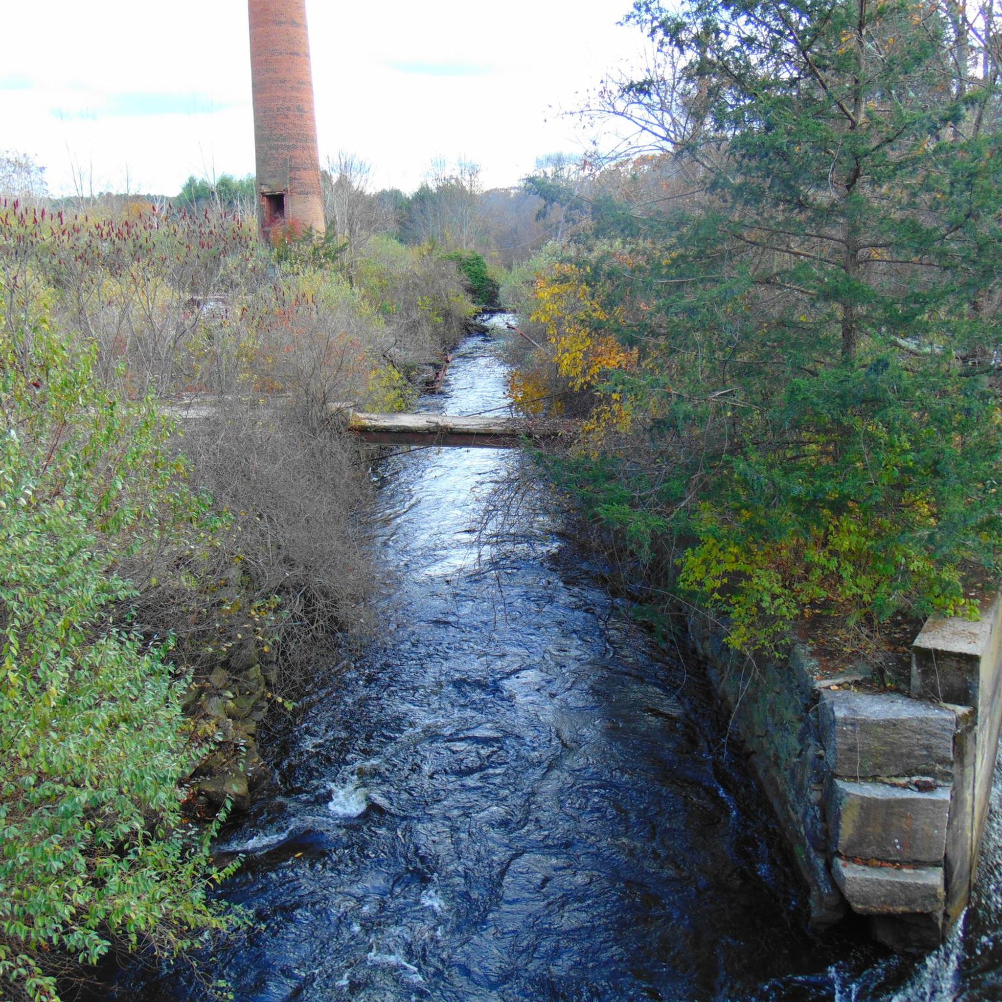
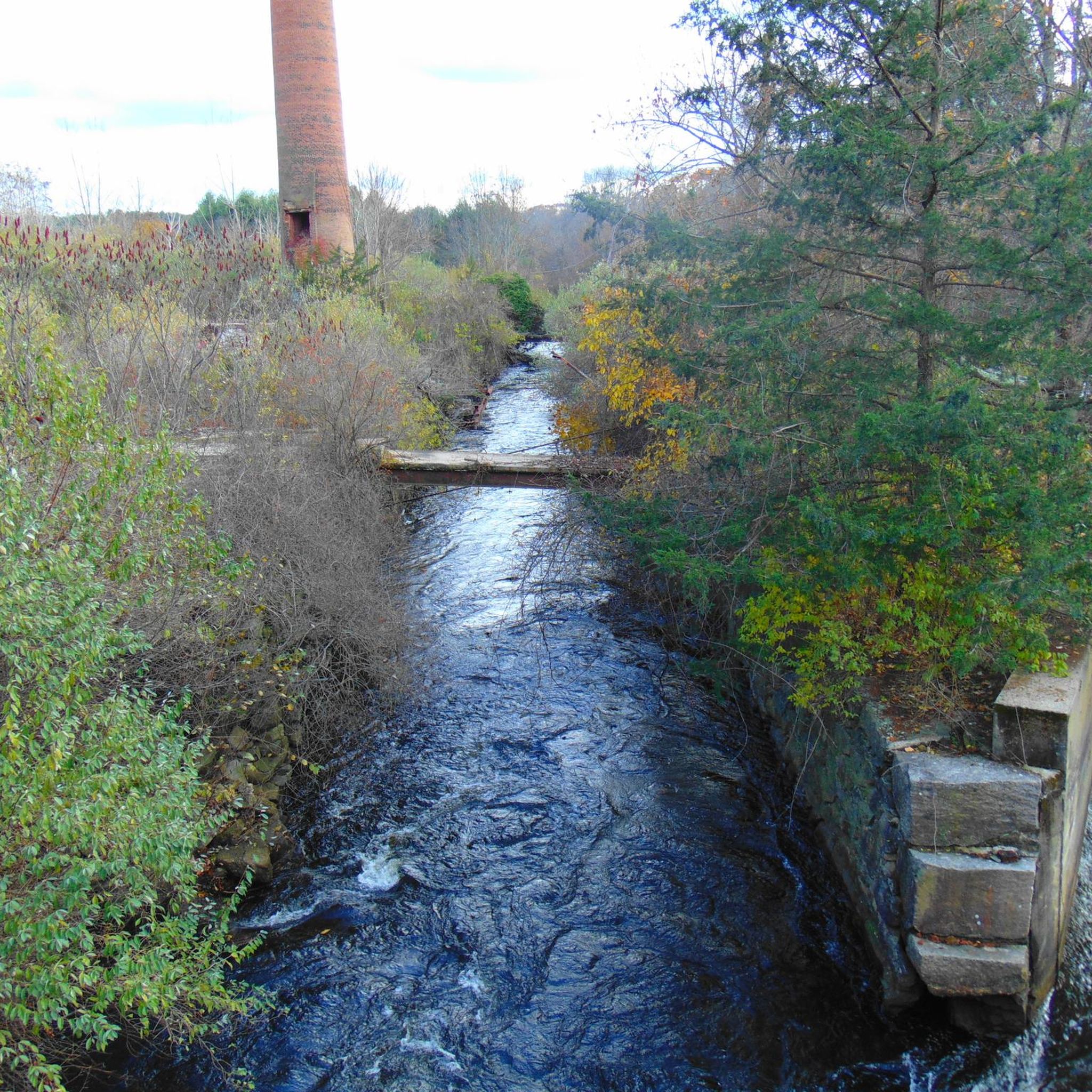
Short bike and walk to a place where I was young and innocent. Spent decades out here on four wheelers and hiking.
0
0

The North-South Trail in Rhode Island begins at the Massachusetts/Rhode Island state line in Burrillville and connects to the Midstate Trail in Massachusetts. The Midstate Bench, located right on the state border, is a resting spot for hikers, serving as both a trail terminus and a scenic break point.
0
0

The Quaddick Reservoir, once frequented by the Nipmuck Indians for fishing, is the main attraction of this park. Today, the area is popular with its sandy beach, ball fields, and the trails that run throughout the park.
1
0

Wallum Lake is a little paradise especially for hiking, boating and fishing. Besides some side trails, this is where the long-distance Midstate Trail and Tunxis Trail connect.
2
0
Frequently Asked Questions
How many hiking trails are available in North Grosvenor Dale?
North Grosvenor Dale offers a selection of around 10 hiking routes, catering to various skill levels. These trails explore the diverse landscapes of the region, including woodlands, riverbanks, and lake shores.
Are there easy hiking trails suitable for beginners or families?
Yes, North Grosvenor Dale has several easy hiking options. For instance, the Putnam River Trail — Windham County is an easy 3.5-mile path that follows riverside landscapes, perfect for a relaxed outing.
Can I find circular hiking routes in the area?
Absolutely. Many trails in the area are designed as loops. A popular moderate option is the West Thompson Dam loop from Mechanicsville, which offers scenic views around West Thompson Lake.
Are the trails in North Grosvenor Dale dog-friendly?
While specific regulations can vary by trail, many natural areas in the Last Green Valley National Heritage Corridor, including those around North Grosvenor Dale, generally welcome dogs on leash. Always check local signage or park websites for the most current rules before heading out with your pet.
What kind of scenery can I expect on hikes around North Grosvenor Dale?
Hikers can expect a mix of natural beauty, including dense woodlands, the banks of the French and Quinebaug Rivers, and the expansive shores of West Thompson Lake. The region is part of the Last Green Valley National Heritage Corridor, ensuring preserved green spaces and scenic vistas.
Are there any specific attractions or landmarks to see while hiking?
Yes, several points of interest can be explored. You can visit the West Thompson Dam itself, or explore the Tripoint marker, which is accessible via the Air Line Trail. The Richardson Pond is another beautiful spot to discover.
What do other hikers say about the trails here?
The komoot community highly rates the hiking experience in North Grosvenor Dale, with an average score of 5.0 stars. Hikers often praise the quiet woodlands, well-maintained paths, and the serene beauty of the lake and river areas.
Are there longer or more challenging hikes for experienced hikers?
Yes, for those seeking a more strenuous adventure, there are longer and more difficult routes. The Tripoint marker via Air Line Trail — Windham County is a challenging 15-mile hike with significant elevation changes, offering a rewarding experience for seasoned hikers.
Where can I find parking for the trailheads?
Many popular hiking areas, such as the West Thompson Dam Recreation Area, provide designated parking lots near trailheads. For specific routes, it's advisable to check the route details on komoot or local park websites for precise parking information.
What is the best time of year to go hiking in North Grosvenor Dale?
Spring, summer, and fall all offer excellent hiking conditions. Spring brings lush greenery, summer is ideal for combining hikes with water activities at West Thompson Lake, and fall showcases stunning foliage. Even winter hiking can be enjoyed, especially on well-maintained trails, offering a peaceful, snow-covered landscape.
Are there any trails near water bodies like lakes or rivers?
Yes, the region is defined by its waterways. Many trails follow the French River and Quinebaug River, and the extensive West Thompson Lake Recreation Area offers miles of trails directly along the lake shore. The Wallum Lake – Midstate Bench loop from Buck Hill Management Area is another great option for lakeside views.
How long do hikes typically take in this area?
Hike durations vary significantly depending on the trail's length and difficulty. Shorter, easy routes like the Putnam River Trail can be completed in under 1.5 hours, while moderate loops such as the Buck Hill Trail typically take around 2.5 to 3 hours. Longer, more difficult trails can take upwards of 6 hours.
Most popular routes around North Grosvenor Dale
Most popular attractions around North Grosvenor Dale

Get inspired with the komoot mobile app


Explore more
Browse the best Hikes in other regions.
