The best road cycling routes around Pätzer Vordersee
4.7
(531)
4,025
riders
118
rides
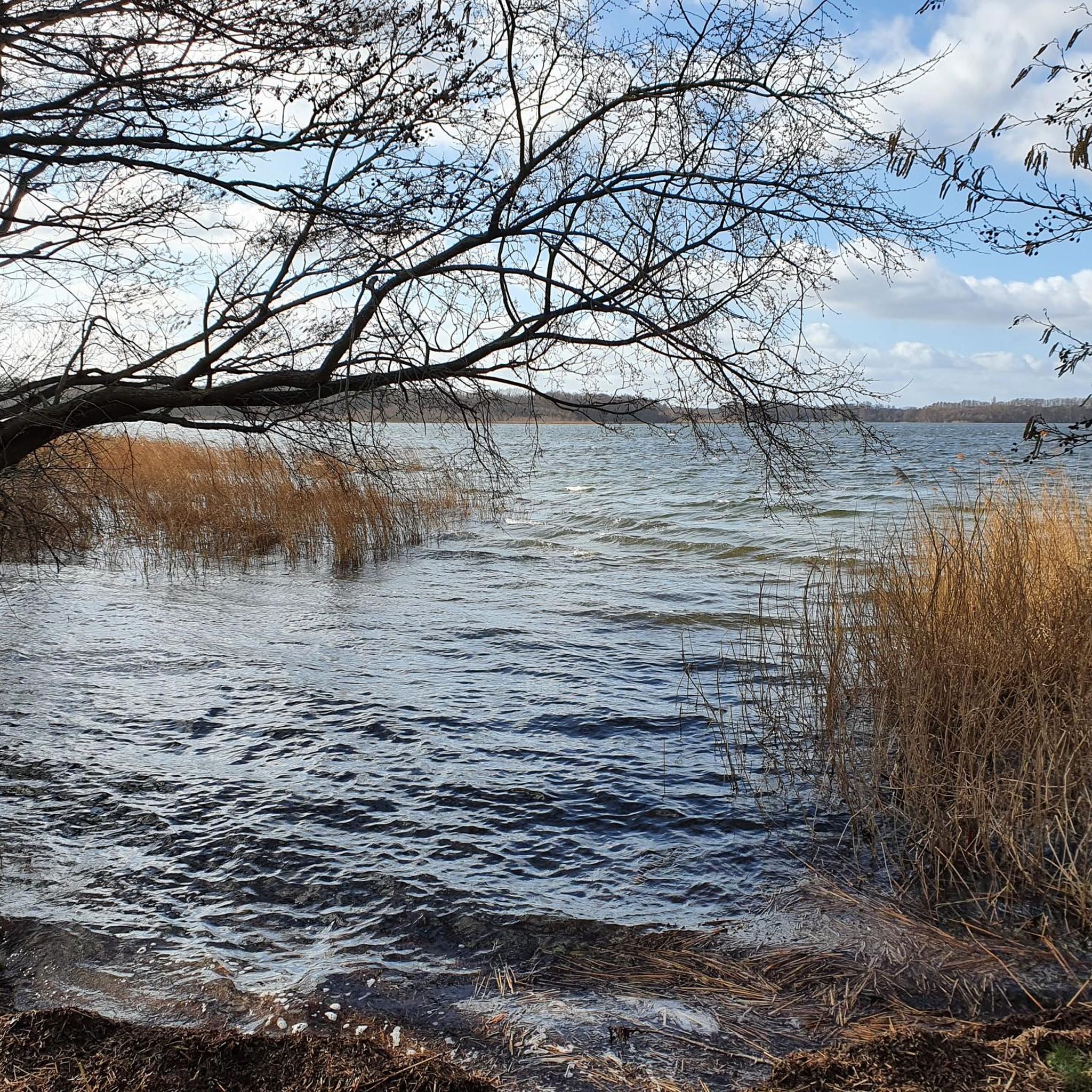
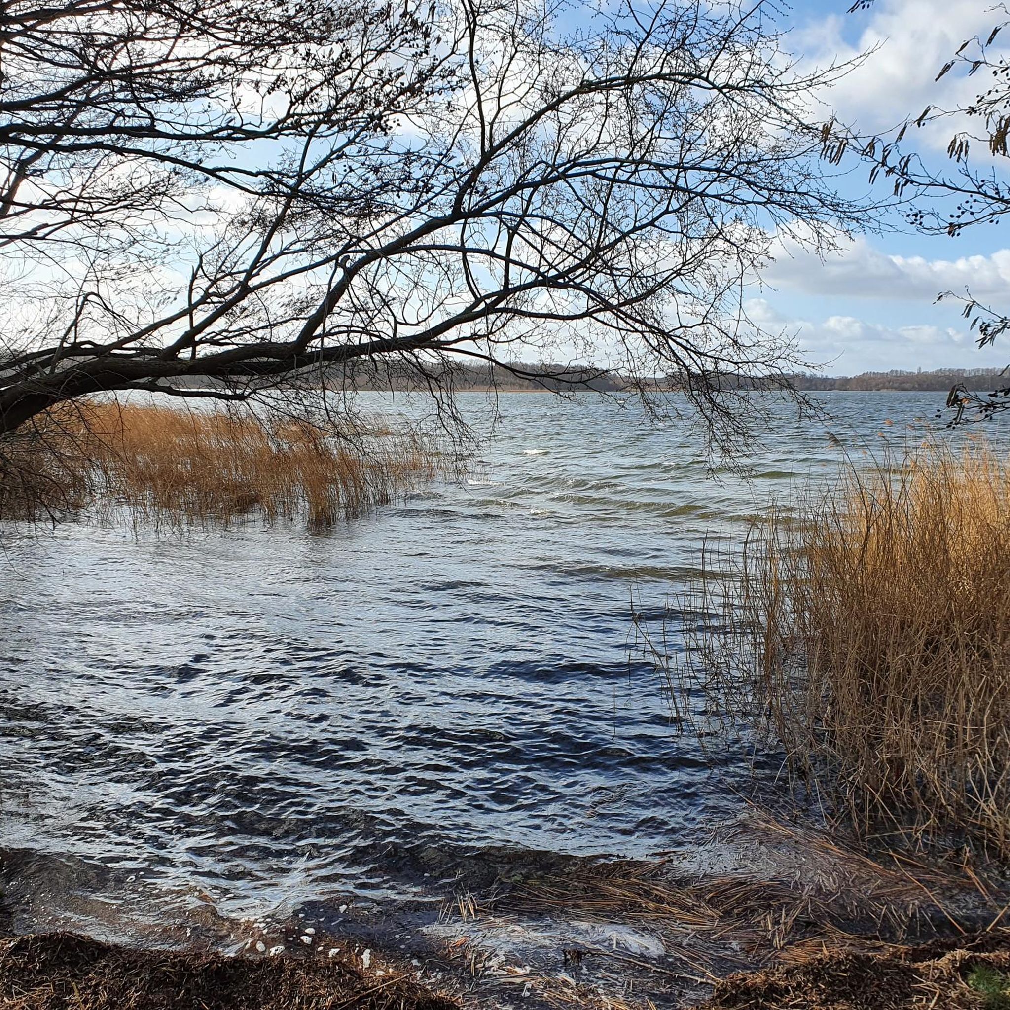
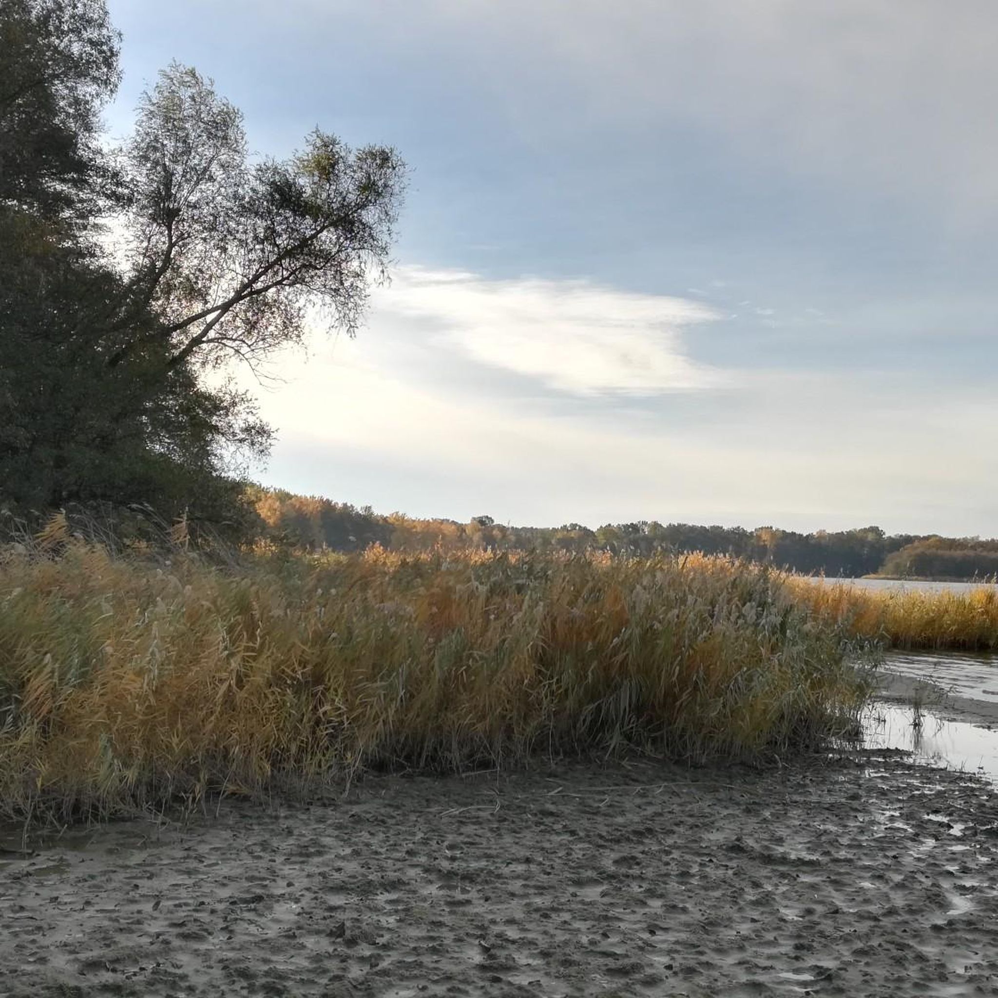
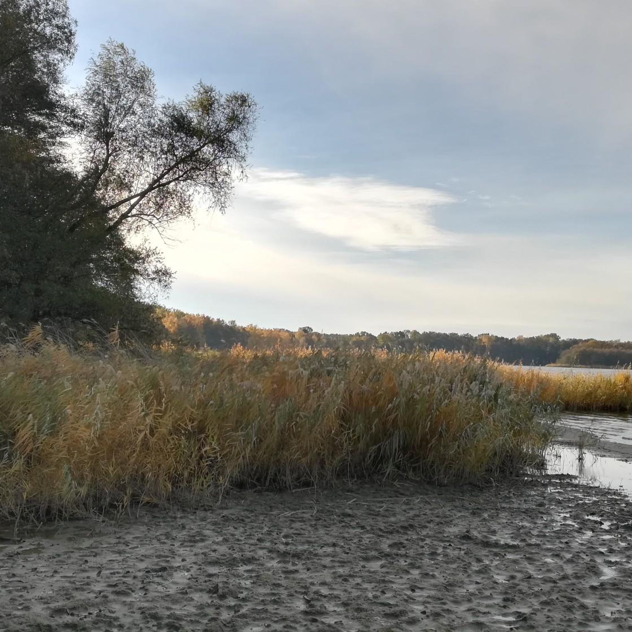
Road cycling routes around Pätzer Vordersee are situated within the Dahme-Heideseen Nature Park in Brandenburg, Germany. The region features a landscape of interconnected lakes, including Pätzer Vordersee, and extensive woodlands, such as dense pine forests. Cyclists encounter varied terrain, with many routes utilizing asphalted surfaces and shared cycling paths through forests, though some unpaved sections may be present. The area's lowlands and wet meadows contribute to its diverse natural character.
Best road cycling routes around Pätzer Vordersee
- The most popular…
Last updated: July 1, 2026
4.1
(19)
104
riders
40.6km
01:41
180m
180m
Easy road ride. Great for any fitness level. Mostly well-paved surfaces and easy to ride.
5.0
(3)
90
riders
81.8km
03:12
270m
270m
Moderate road ride. Good fitness required. Some segments of this route may be unpaved and difficult to ride.

Sign up for free
4.7
(25)
74
riders
29.8km
01:13
50m
50m
Easy road ride. Great for any fitness level. Mostly well-paved surfaces and easy to ride.
4.6
(5)
50
riders
67.9km
02:41
110m
110m
Moderate road ride. Good fitness required. Some segments of this route may be unpaved and difficult to ride.
4.8
(6)
35
riders
49.0km
01:55
110m
110m
Moderate road ride. Great for any fitness level. Some segments of this route may be unpaved and difficult to ride.
Get access to more routes and recommendations from other explorers.
Sign up for free
Already have an account?
Our route recommendations are based on thousands of hikes, rides, and runs completed by other people on komoot.
Start today with a free account
Your next adventure awaits.
Login or Signup
Tips from the Community

The cycle path is still in good condition.
0
0
Another unnecessary red dot. The cycle path is already included in the map. Navigation systems route users along this path even without it.
0
0

Good surface, fairly little traffic.
0
0
Only suitable for cycling on weekends, as it is a federal highway!
0
0

Cycle path next to the road
0
1

Philadelphia is getting new asphalt. There's still a lot of gravel on the road. If I saw it correctly, two cyclists had to change their inner tubes. I must have been lucky.
0
0

Bicycle road with access for cars. Partly composite paving, which already shows some damage, and partly good asphalt
0
0

Since 2009, where ferrymen once offered their services, residents and tourists have been able to cross the river on foot or by bike using the pylon cable-stayed bridge. With a length of over 200 meters (span across the Dahme: 45 meters), a 21-meter-high pylon and a width of 2.60 meters, it is one of the largest German cycle and pedestrian bridges. It was only thanks to it that the Dahme cycle path could be realized.
13
0
Frequently Asked Questions
How many road cycling routes are available around Pätzer Vordersee?
The Pätzer Vordersee region offers a wide selection of road cycling routes, with over 120 tours available. These routes cater to various preferences, ranging from easy scenic rides to more challenging distances.
What are the general difficulty levels of road cycling routes in the Pätzer Vordersee region?
The routes around Pätzer Vordersee are predominantly easy to moderate. You'll find approximately 30 easy routes perfect for a relaxed ride, and over 90 moderate routes for those seeking a bit more challenge. There is also a very difficult route for experienced cyclists.
What kind of terrain can I expect on road cycling routes around Pätzer Vordersee?
Road cycling routes in the Pätzer Vordersee area feature a diverse landscape of interconnected lakes, dense pine forests, and lowlands. Many routes utilize asphalted surfaces and shared cycling paths through forests. While most are well-suited for road bikes, some sections may include unpaved surfaces, so it's good to check route details beforehand.
Are there any specific loop routes suitable for road cycling around Pätzer Vordersee?
Yes, a popular option is the circular route around both Pätzer Vordersee and Pätzer Hintersee, which spans just over 16 kilometers. While some sections are on main roads, many parts are shared cycling paths through forests, offering mostly asphalted surfaces. For a longer loop, consider the Bindower Straße – Neue Mühle Lock loop from Bestensee, an 18.2-mile (29.3 km) easy trail.
What natural features or viewpoints can I expect to see along the road cycling routes?
The region is rich in natural beauty, part of the Dahme-Heideseen Nature Park. Cyclists can enjoy views of the Pätzer Vordersee and other interconnected waterways, dense pine forests like the 'Schweinewinkel' with its uniquely crooked trees, and diverse ecosystems including wet meadows and moor areas. Keep an eye out for local wildlife such as beavers, kingfishers, and sea eagles.
Are there any family-friendly road cycling routes in the Pätzer Vordersee area?
Yes, the region offers several easy routes suitable for families. The circular route around Pätzer Vordersee and Pätzer Hintersee is generally accessible, and many routes have well-surfaced paths through forests. An example of an easy route is the Nottekanal – Barn Quarter Mittenwalde loop from Bestensee, which is 25.2 miles (40.6 km) long and offers canal-side riding and rural landscapes.
What is the best time of year for road cycling around Pätzer Vordersee?
The Pätzer Vordersee region is enjoyable for road cycling throughout many seasons. Spring and autumn offer pleasant temperatures and beautiful scenery with changing foliage. Summer is also popular, especially if you plan to combine your ride with a swim in the lake. While some routes are accessible year-round, always check local conditions during winter months.
Where can I find parking for road cycling routes near Pätzer Vordersee?
Many routes, including the popular circular route around Pätzer Vordersee and Pätzer Hintersee, start and end at Bestensee train station, which typically offers parking facilities. This makes it a convenient hub for accessing the cycling network.
How can I reach the Pätzer Vordersee cycling routes using public transport?
The Bestensee train station serves as a key access point for many road cycling routes in the area. It's well-connected, allowing you to reach the starting points of various tours, including the Pätzer Vordersee and Pätzer Hintersee loop. Always check current public transport schedules and bike transport rules before your journey.
Are there cafes or accommodation options for cyclists near Pätzer Vordersee?
Yes, the towns of Bestensee and Pätz, which are often starting points or pass-through locations for routes, offer various gastronomic establishments where cyclists can take a break. You can also find accommodation options in these areas, making it convenient for multi-day cycling trips.
What do other cyclists say about the road cycling experience around Pätzer Vordersee?
The road cycling routes around Pätzer Vordersee are highly rated by the komoot community, with an average score of 4.7 stars from over 400 reviews. Cyclists often praise the varied terrain, the blend of forest and water views, and the well-developed network of paths.
Can you recommend a moderate road cycling route for a longer ride?
For a moderate and longer ride, consider the Tree-Lined Road to Tollkrug – Road Along BER Airport loop from Bestensee. This route is 50.5 miles (81.2 km) long and features tree-lined roads and open stretches, passing through varied scenery, offering a good challenge for intermediate cyclists.
Most popular routes around Pätzer Vordersee

Get inspired with the komoot mobile app


Explore more
Browse the best Road cycling routes in other regions.
