The best walks and hikes around Bethel
4.8
(15)
222
hikers
48
hikes
Hiking around Bethel navigates the mountains and river valleys of Western Maine. The terrain is characterized by forested hills, ascents to open ledges with valley views, and paths along the Androscoggin River. The region's trail network is situated near natural features like Grafton Notch State Park and the Mahoosuc Public Reserved Land. Bethel Maine hiking trails offer diverse experiences, from gentle riverside walks to more challenging ascents to viewpoints.
Best hiking trails around Bethel
- The most popular hiking route is Thomas Mountain via Tarrywile Yellow Trail loop, an easy 3.9 miles (6.2 km) path that takes around 1 hour 55 minutes to complete. This route involves a steady climb to the summit of a hill.
- Another top favourite among local hikers is Blue and Parks Pond Loop, a moderate 2.1 miles (3.4 km) path. This trail features varied terrain around two ponds.
- Local hikers also love the Franc Preserve to Brunot Preserve Loop, a 2.3 miles (3.7 km) trail leading through forested areas, often completed in about 1 hour.
- Hiking around Bethel is defined by ascents to mountain viewpoints, riverside paths, and extensive forest trails. The network of Bethel Maine hiking trails offers options for different ability levels, from easy family hikes to more challenging day hikes.
- The routes in Bethel are highly rated by the komoot community with an average score of 4.9 stars from over 10 reviews. More than 170 hikers have used komoot to explore Bethel's varied terrain.
Last updated: June 23, 2026
3
hikers
3.41km
00:58
70m
60m
Embark on the Blue and Parks Pond Loop for a refreshing hike through Tarrywile Park in Danbury, Connecticut. This moderate route spans 2.1 miles (3.4 km) with a gentle elevation gain of 226 feet (69 metres), making it a perfect quick escape into nature. You can expect to complete the loop in about 57 minutes, winding past the tranquil Parks Pond where you might spot fish, snapping turtles, or even swans and blue herons. The trail offers varied terrain, from smooth paths around the pond to sections that climb hillsides on old woods roads.
Planning your visit is straightforward, as parking is readily available within Tarrywile Park. While the trail is generally accessible, be aware that certain sections, especially around Back Pond, can become rocky or swampy. This is particularly true after heavy rainfall or during periods of high water. Always check local conditions before you head out to ensure a pleasant and smooth experience on the path.
As you hike, keep an eye out for the historic Tarrywile Dairy Farm Silo, which adds a unique touch to the scenic landscape. The route sometimes aligns with the longer Ives Trail, offering a glimpse into the broader network of paths in the area. This loop provides a wonderful opportunity to enjoy diverse natural surroundings and a bit of local history, all within a manageable timeframe.
3
hikers
2.74km
00:48
80m
50m
The Stephenson Trail in Bethel, Connecticut, offers a refreshing, easy hiking experience perfect for a quick nature break. This 1.7-mile (2.7 km) route, with its gentle 274 feet (83 metres) of elevation gain, is designed for a relaxed pace, typically taking around 47 minutes to complete. It's an ideal choice for those seeking a peaceful walk through what is likely a pleasant woodland setting, offering a quiet escape from daily routines.
Planning your visit to this easy trail is straightforward. Located in Bethel, it's a convenient option for locals and visitors alike. Parking and trailhead information should be available locally; arriving earlier in the day might help secure a spot, especially on weekends. This trail is generally suitable for year-round enjoyment, though checking weather conditions before you go is always recommended.
This particular Stephenson Trail stands out as a highly accessible option within the Western Connecticut Planning Region, making it a great choice for beginner hiking tips or family friendly walks. Its short duration and minimal elevation make it a low-commitment way to enjoy the outdoors. While specific historical or ecological details for this exact trail are not widely documented, its presence contributes to the local network of green spaces, providing valuable recreational opportunities.

Sign up for free
2
hikers
3.65km
01:00
60m
50m
Embark on the Franc Preserve to Brunot Preserve Loop, an easy hiking route that guides you through a diverse landscape of meadows, new growth, and mature forests. You will encounter wetlands and walk alongside a beautiful stream, with well-placed boardwalks protecting sensitive areas. This pleasant 2.3-mile (3.7 km) loop involves a gentle elevation gain of 207 feet (63 metres) and can typically be completed in about 59 minutes, offering a relaxing outdoor experience.
This trail is an excellent choice if you are looking for an accessible and quick outdoor adventure suitable for many hikers. The preserves are connected by a seamless trail system, making navigation straightforward and enjoyable. You will find bridges and nature interpretive signs along the way, enhancing your visit and providing insights into the local environment. Consider visiting during daylight hours to fully appreciate the varied scenery and ensure a comfortable hike.
The Franc Preserve to Brunot Preserve Loop stands out as a combined preserve system, offering an integrated hiking area that maximizes your exploration opportunities. The trail's beginner-friendly nature and varied scenery make it a notable option for those seeking a tranquil escape within the region. It provides a wonderful opportunity to connect with nature and observe local flora and fauna in a well-maintained setting.
1.79km
00:29
20m
20m
The Pond Loop Trail offers a delightful, easy hiking experience, perfect for a quick escape into nature. You'll enjoy serene water views as the path winds around Lake McDougall, often shaded by surrounding forests. This 1.1-mile (1.8 km) loop, with a minimal 74 feet (23 metres) of elevation gain, is designed for a leisurely pace, taking about 28 minutes to complete.
Planning your visit is simple, as the trailhead is typically easy to access with parking available. This route is ideal for a relaxed morning or afternoon outing, and its easy difficulty makes it a great choice for families or those new to hiking. Consider an early start to enjoy the tranquility before any crowds arrive.
Beyond the peaceful pond, the trail is often a haven for wildlife, with opportunities to spot various birds and other small animals. It's a fantastic option for a beginner hike or a family-friendly adventure, providing a refreshing dose of nature without demanding a full day.
5.0
(1)
27
hikers
6.20km
01:55
220m
220m
Hike the easy 3.9-mile Thomas Mountain via Tarrywile Yellow Trail loop in Tarrywile State Park, featuring ponds, forests, and views.
Get access to more routes and recommendations from other explorers.
Sign up for free
Already have an account?
Our route recommendations are based on thousands of hikes, rides, and runs completed by other people on komoot.
Start today with a free account
Your next adventure awaits.
Login or Signup


Tips from the Community

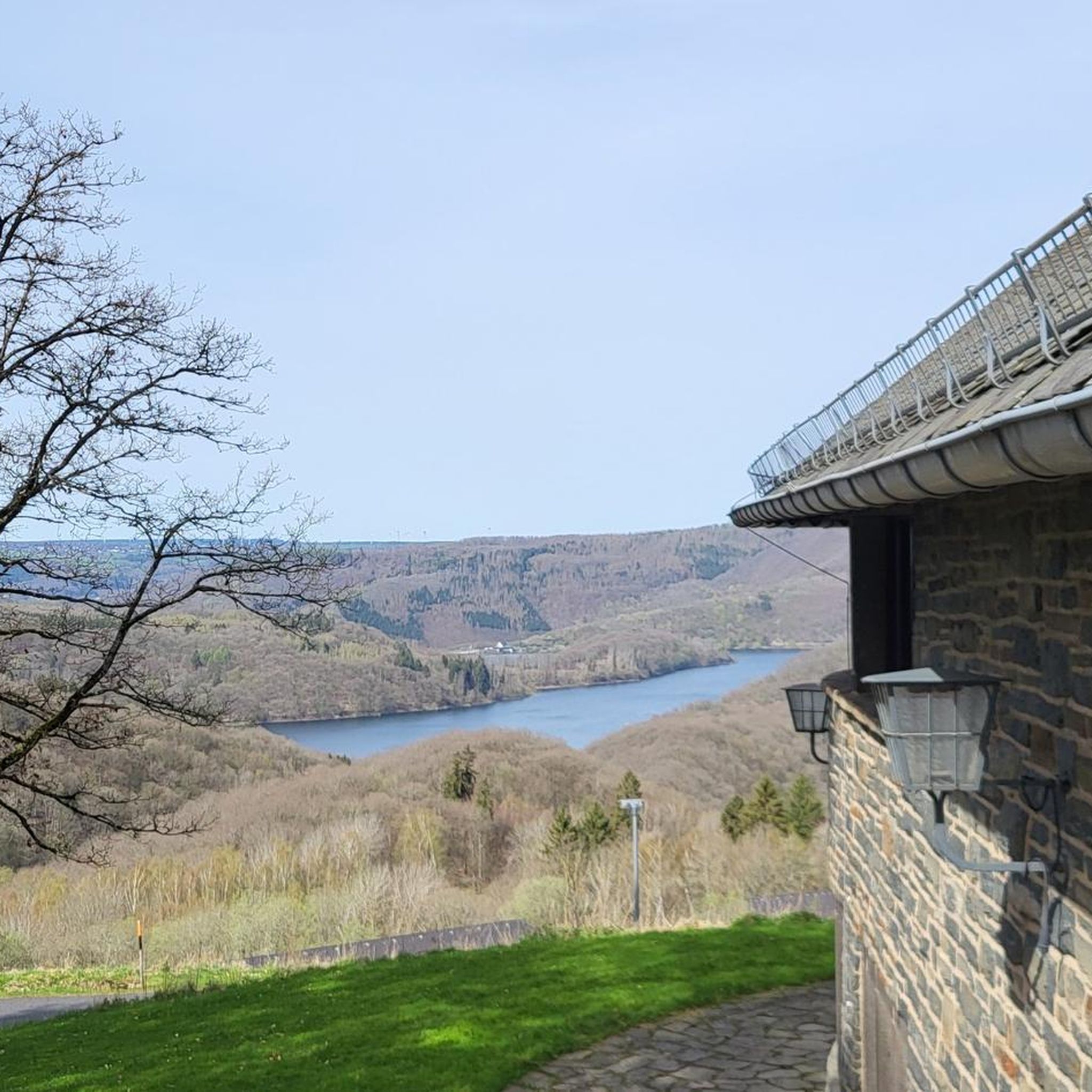
Once an active dairy farm and fruit orchard, the park now hosts 21 miles of hiking trails, 2 ponds, a lake, and several picnic areas (also a mansion and a castle!). Open from sunrise to sunset year round, for FREE. Here is the park website: https://tarrywile.com/the-park/
0
0
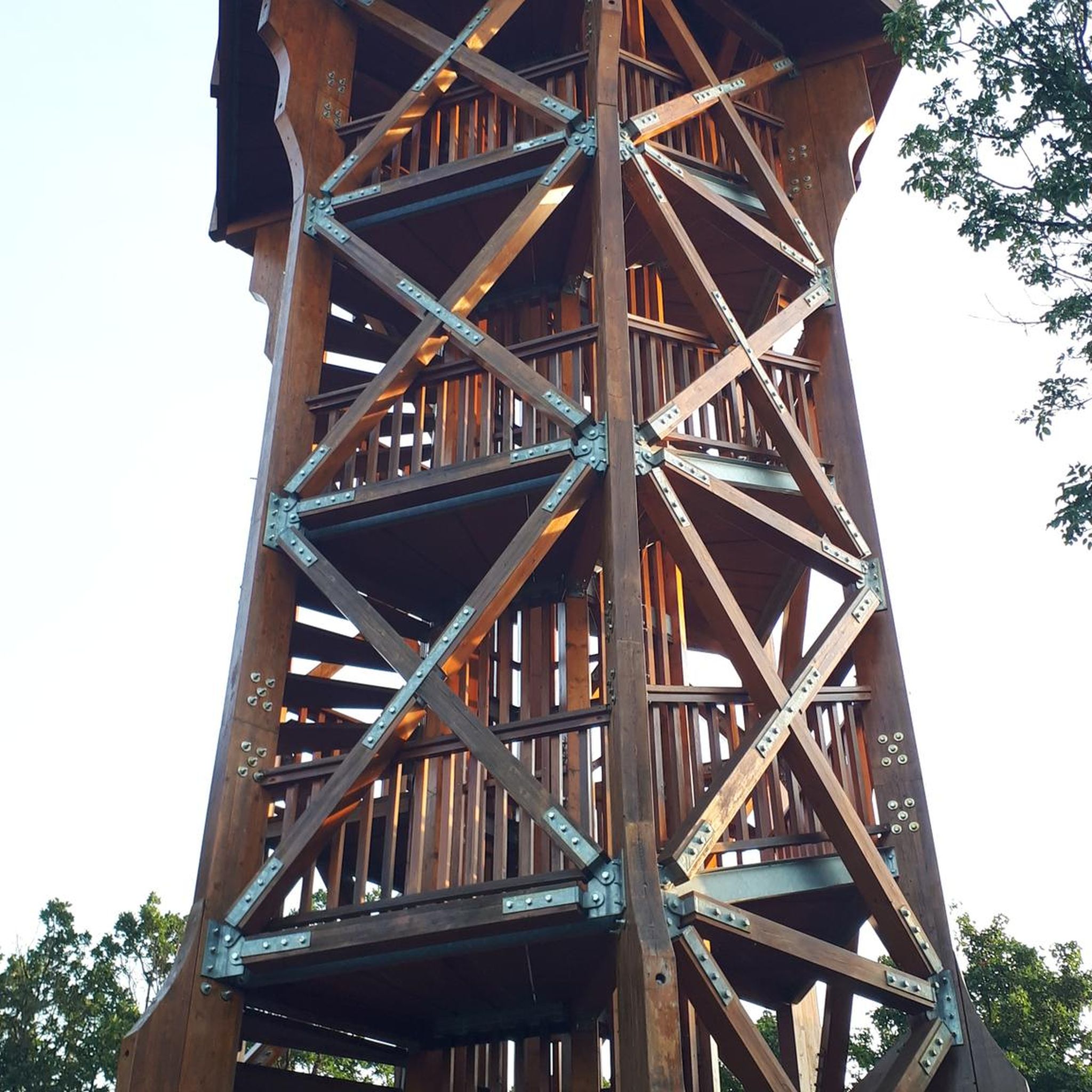
287m high peak; you can see Danbury on a clear day. The hike to the top is pretty strenuous but not at all technical.
0
0

Tarrywile Park spans 722 acres, with roughly 21 miles of hiking trails, two ponds, and a lake. Once a dairy farm and fruit orchard, there are several picnic areas and historic landmarks, including the Tarrywile Mansion and Hearthstone Castle. Open year-round during daylight hours, the park is a beautiful spot for a lovely hike and a picnic anywhere on the grounds.
0
0
This lovely bench is right along the trail, making it the ideal spot for a short break or a trailside snack. There's plenty of wildlife, and if you're lucky, you may even spot a deer while you're here. Dogs are welcome; just be sure your pup stays on a leash while you relax and listen to the quiet of your surroundings.
0
0

Lake McDougall is a tiny, pond-like reservoir within Putnam Memorial State Park. This pool of water is right next to the memorial monument after you bike by the guard houses at the park entrance. It's a good spot to step off the bike and take a break before getting back to pedaling.
0
0
Putnam Memorial State Park is the oldest public park in the state of Connecticut and is popular among lots of different recreationalists for good reason. To explore the trails on the property, you'll have to leave the bike behind. That being said, you can read about the history of the Revolutionary War and see lots of war memorabilia and statues without ever leaving the park roads.
0
0
Putnam Memorial State Park is the oldest public park in the state of Connecticut and is popular among lots of different recreationalists for good reason. To explore the trails on the property, you'll have to leave the bike behind. That being said, you can read about the history of the Revolutionary War and see lots of war memorabilia and statues without ever leaving the park roads.
0
0
Lake McDougall is a tiny, pond-like reservoir within Putnam Memorial State Park. This pool of water is right next to the memorial monument after you bike by the guard houses at the park entrance. It's a good spot to step off the bike and take a break before getting back to pedaling.
1
0
Frequently Asked Questions
Are there any easy, family-friendly hikes in the Bethel area?
Yes, the region has many options for families. A great choice is the Thomas Mountain via Tarrywile Yellow Trail loop, a gentle 3.9-mile (6.2 km) walk with a steady climb. For a shorter outing, the 2.4-mile (3.9 km) Huntington Pond loop is another excellent, easy trail that winds through pleasant woodlands.
Can I bring my dog on the hiking trails near Bethel?
Many trails in the Bethel area are dog-friendly, but it's always best to check specific park regulations before you go. For example, the Long Mountain Trail is known to be a great spot for hiking with dogs. Always keep your dog under control and follow posted leash rules.
What are some good circular hikes or loop trails?
Bethel offers several enjoyable loop trails. For a moderately challenging option, consider the Collis P. Huntington State Park loop via Black Trail. This 5.1-mile (8.2 km) route provides a satisfying circuit through the park's forested landscape.
Are there any hikes with waterfalls near Bethel?
Absolutely. The region is famous for its waterfalls, especially within Grafton Notch State Park. While hiking there, you can visit stunning cascades like Screw Auger Falls and Mother Walker Falls. Another popular spot is Step Falls Preserve, which features a series of beautiful cascades you can explore.
I'm looking for a more challenging day hike. What do you recommend?
For a more strenuous outing, the Hearthstone Castle via Ives Trail Greenway loop is a great option. This 7.2-mile (11.5 km) moderate hike involves a significant ascent through woodland, rewarding your effort with a sense of accomplishment. Another challenging local favorite is the Old Speck trail in Grafton Notch State Park, which is part of the Appalachian Trail.
What are the best trails for scenic viewpoints?
Many hikes around Bethel lead to rewarding vistas. The Mount Will Trail is well-regarded for its open ledges that provide stunning views over the Androscoggin River Valley. Similarly, the Table Rock Loop Trail in Grafton Notch State Park offers panoramic mountain views that are well worth the climb.
How many hiking trails are available around Bethel?
There are nearly 30 curated hiking routes to explore around Bethel on komoot. The trails range from easy strolls to more demanding moderate climbs, ensuring there's a path for every skill level.
Can I go hiking in Bethel during the winter?
Yes, winter transforms Bethel into a great destination for snowshoeing and winter hiking. Many summer trails are suitable for winter use, but be sure to have appropriate gear like snowshoes or microspikes. The trails managed by Inland Woods + Trails are often groomed for cross-country skiing and snowshoeing.
What do other hikers enjoy about the trails in Bethel?
The trails around Bethel are highly rated by the komoot community, with an average score of 4.9 stars. Hikers often praise the region for its beautiful forest scenery, well-maintained paths, and the rewarding views from summits and ledges overlooking the Western Maine landscape.
Are there hiking opportunities in the Mahoosuc Public Reserved Land?
Yes, the Mahoosuc Public Reserved Land offers a vast, rugged area for hiking. It's known for more remote and challenging trails, including a significant portion of the Appalachian Trail. It's an ideal destination for experienced hikers seeking solitude and a true wilderness experience.
Where can I access the Appalachian Trail near Bethel?
The Appalachian Trail (A.T.) runs through Grafton Notch State Park, which is a primary access point near Bethel. You can hike sections of the A.T. here, such as the challenging ascent up Old Speck Mountain. This provides a great opportunity to experience a part of the iconic long-distance trail.
Most popular routes around Bethel
Most popular attractions around Bethel

Get inspired with the komoot mobile app


Explore more
Browse the best Hikes in other regions.
