The best walks and hikes around Großer Kolpiner Lake
4.6
(3625)
14,874
hikers
635
hikes
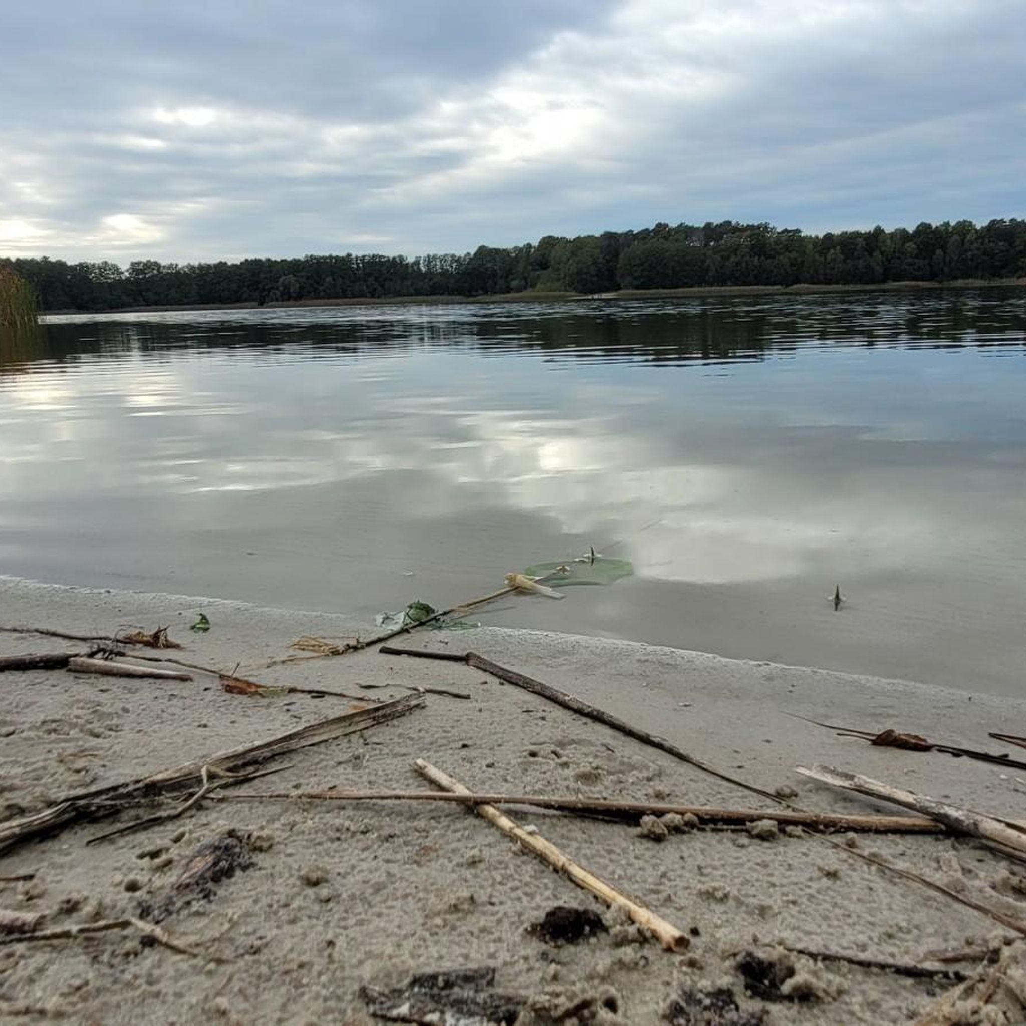
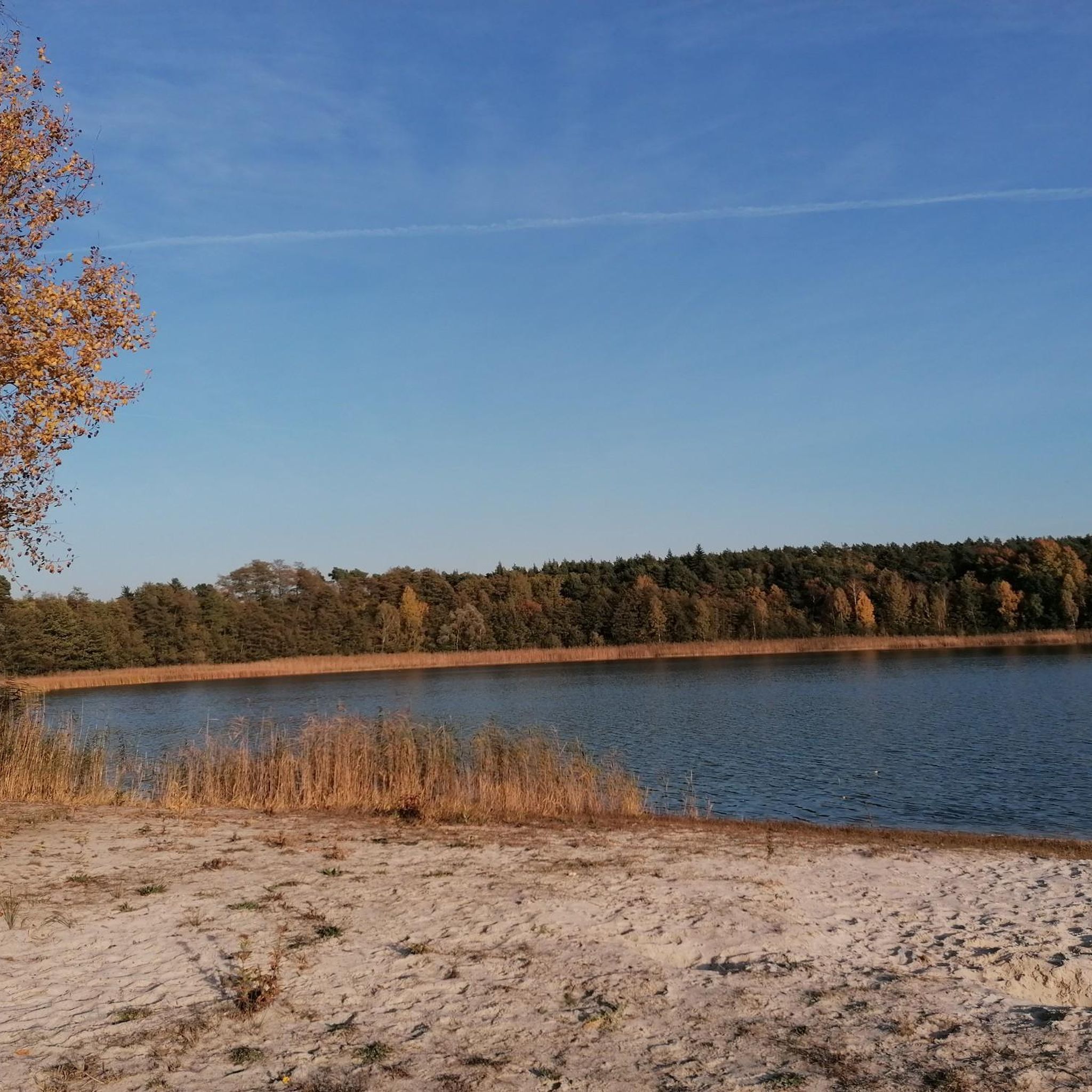
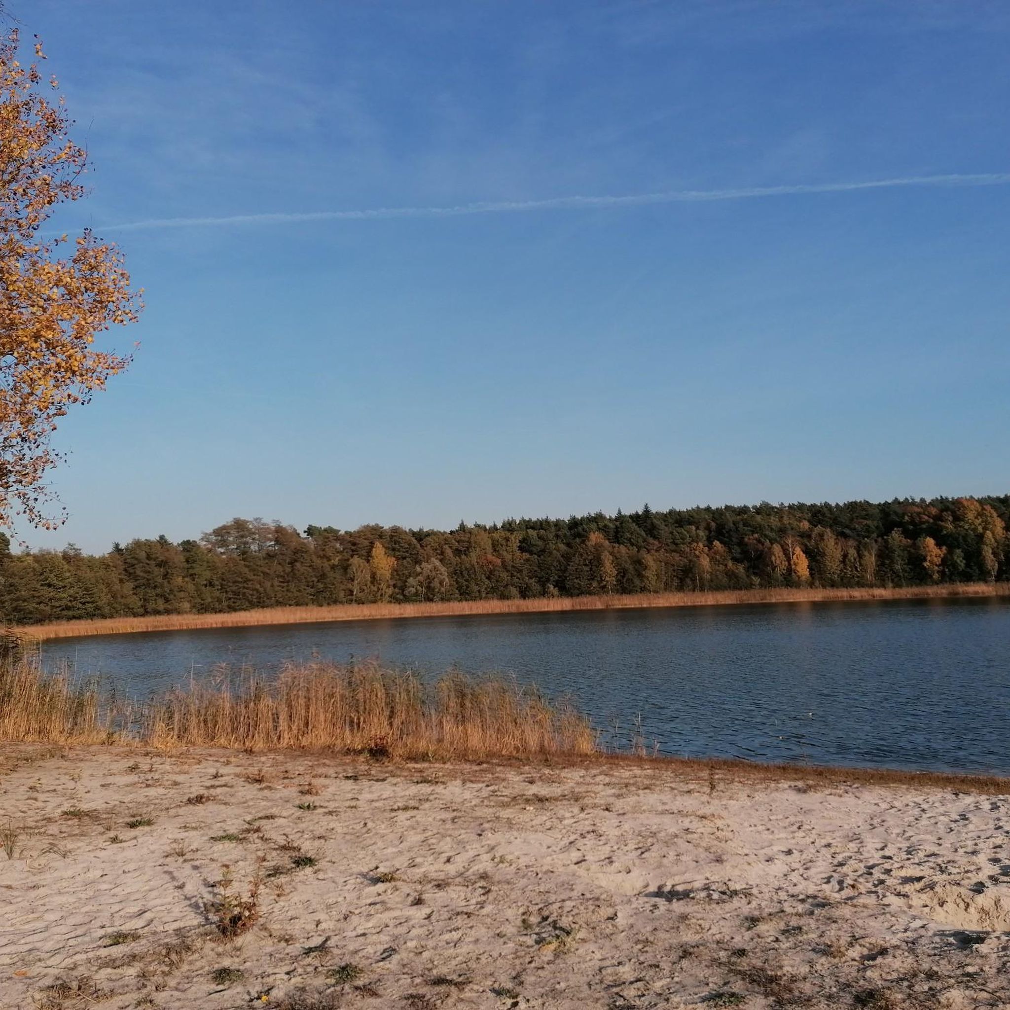
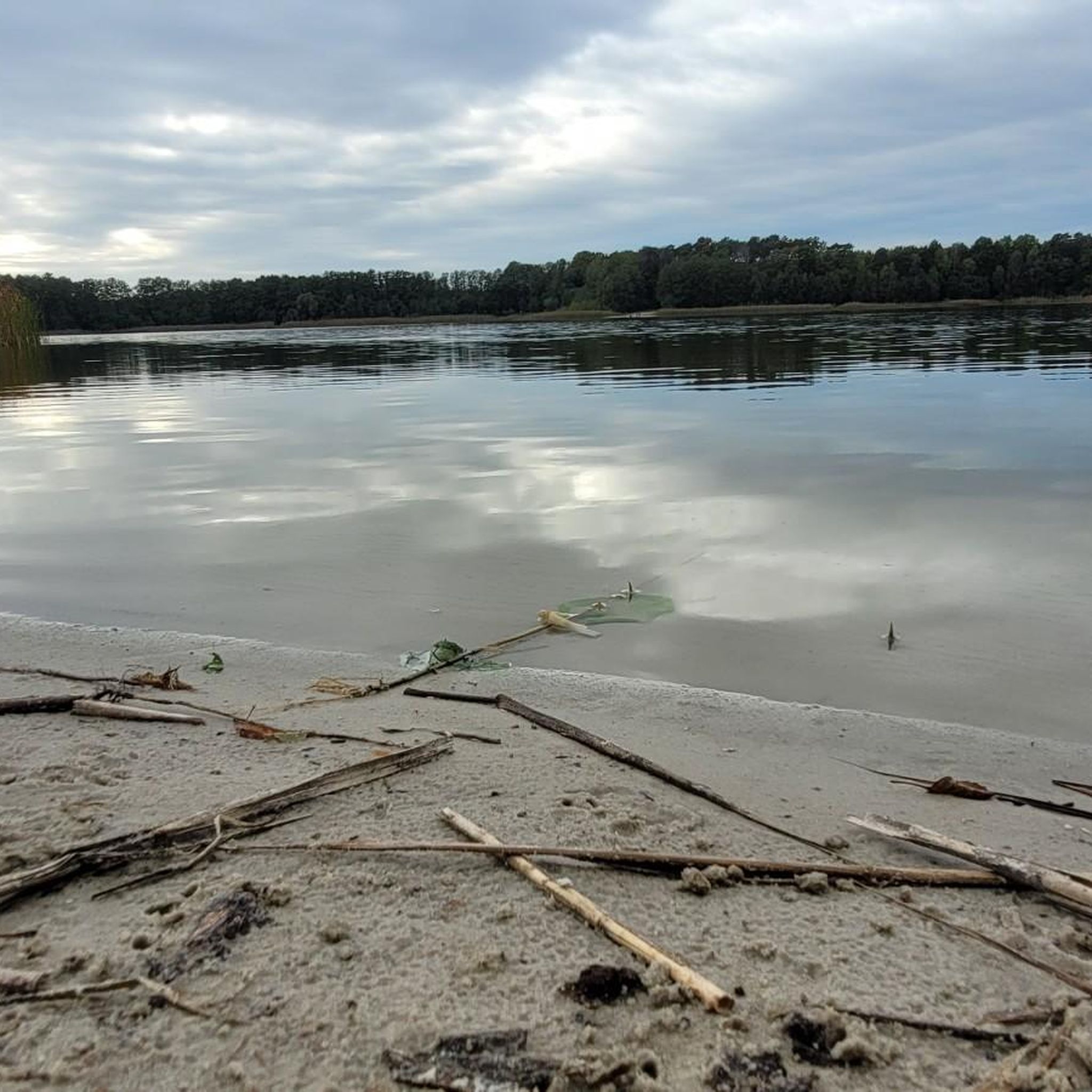
Hiking around Großer Kolpiner Lake is characterized by varied natural scenery, including wooded lake shores, dense pine forests, expansive meadows, and agricultural fields. Some routes also traverse small swamp areas, contributing to the ecological diversity. The terrain is predominantly flat with gentle elevation changes, making paths accessible for a range of abilities. Großer Kolpiner Lake itself spans approximately 24 hectares, providing a significant body of water to explore.
Best hiking trails around Großer Kolpiner Lake
- The most popular hiking route…
Last updated: July 10, 2026
5.0
(2)
9
hikers
11.0km
02:54
90m
90m
Moderate hike. Good fitness required. Easily-accessible paths. Suitable for all skill levels.
1
hikers
Moderate hike. Good fitness required. Easily-accessible paths. Suitable for all skill levels.

Sign up for free
2
hikers
7.01km
01:49
40m
40m
Easy hike. Great for any fitness level. Easily-accessible paths. Suitable for all skill levels.
4.9
(14)
50
hikers
Easy hike. Great for any fitness level. Easily-accessible paths. Suitable for all skill levels.
4.7
(6)
19
hikers
11.9km
03:05
70m
70m
Moderate hike. Good fitness required. Easily-accessible paths. Suitable for all skill levels.
Get access to more routes and recommendations from other explorers.
Sign up for free
Already have an account?
Our route recommendations are based on thousands of hikes, rides, and runs completed by other people on komoot.
Start today with a free account
Your next adventure awaits.
Login or Signup

Tips from the Community


War memorial for the fallen of World War II.
0
0

Unsupervised sandy beach. Admission is now free, and a hiking trail runs through it.
0
0

Very quiet and idyllic, a little searching for access to the lake is worth it :-)
0
0

The small sandy beach is a lovely place to relax and is ideal for swimming on warm days.
0
2

If the water is cold, it is better to walk through the forest.
0
0

The Bad Saarow harbor on Seestrasse is where the hearts of many visitors to the spa town beat faster. Whether in the children's playground or the swan meadow, while strolling or taking a coffee break at the pavilion or drinking a cold beer in the beer garden - there is always a lot to talk about and see here. The four modern, air-conditioned passenger ships of the Scharmützelsee shipping company also depart from the harbor.
14
0
Until it closed in 1992, the Neptune sculpture by the artist Axel Schulz was the landmark of the nearby Neptunbad. The figure found a new place on the Schwanenwiese in the center of Saarow.
15
0
Frequently Asked Questions
How many hiking trails are available around Großer Kolpiner Lake?
There are over 600 hiking routes around Großer Kolpiner Lake, catering to various preferences and fitness levels. A significant portion, over 340, are classified as easy, making the area very accessible.
What kind of terrain can I expect on hikes around Großer Kolpiner Lake?
The terrain around Großer Kolpiner Lake is predominantly flat with gentle elevation changes, making it accessible for a wide range of abilities. You'll encounter varied natural scenery, including serene wooded lake shores, dense pine forests, expansive meadows, and agricultural fields. Some routes also traverse small swamp areas, adding to the ecological diversity.
Are there any family-friendly hiking options near Großer Kolpiner Lake?
Yes, the area is well-suited for families due to its predominantly flat and accessible trails. Many routes are easy, offering pleasant walks through lakeside woodlands and open fields. For a moderate family adventure, consider the Binnendüne Waltersberge – Sandy Forest Path loop from Kolpin, which is 11.8 km long and explores varied landscapes.
Can I bring my dog on the hiking trails around Großer Kolpiner Lake?
Most trails around Großer Kolpiner Lake are dog-friendly, offering plenty of natural spaces for you and your canine companion to explore. The varied landscapes of wooded lake shores and open fields provide an enjoyable experience for pets. Always remember to keep your dog on a leash and clean up after them.
Are there any circular hiking routes around Großer Kolpiner Lake?
Yes, many of the routes around Großer Kolpiner Lake are circular, allowing you to start and end at the same point. An example is the moderate Binnendüne Waltersberge – Sandy Forest Path loop from Kolpin, which covers 11.8 km through diverse scenery.
What are the best times of year to go hiking around Großer Kolpiner Lake?
The area around Großer Kolpiner Lake is enjoyable for hiking throughout much of the year. Spring and autumn offer pleasant temperatures and beautiful scenery with changing foliage. Summer is also popular, especially with the opportunity for swimming and relaxation at various bathing spots around the lake. Winter hiking is possible, but check local conditions for snow or ice.
What do other hikers enjoy most about hiking in Großer Kolpiner Lake?
The area is highly rated by the komoot community, with an average score of 4.6 stars from over 3,500 reviews. Reviewers often praise the serene natural beauty, the well-maintained and accessible trails, and the quiet surroundings that offer a perfect escape for relaxation and unwinding.
Are there any specific landmarks or viewpoints to look out for on the trails?
While the primary attractions are the natural beauty and the lake itself, some routes offer specific points of interest. For example, the moderate Rauen Viewing Tower – Beach on Großer Kolpiner See loop from Kolpin, a 13.3 km trail, includes the Rauen Viewing Tower, offering elevated perspectives of the surrounding landscape.
Are there opportunities for swimming or bathing along the hiking trails?
Yes, the Großer Kolpiner Lake area is known for its natural beauty and offers opportunities for swimming and relaxation at various bathing spots, especially during warmer months. Many trails run along the lake shores, providing easy access to these areas.
What is the difficulty level of hikes around Großer Kolpiner Lake?
The majority of hikes around Großer Kolpiner Lake are classified as easy or moderate. Out of over 600 routes, more than 340 are easy, and 264 are moderate, making the area suitable for beginners and experienced hikers alike. Only a small number of routes are considered difficult.
Are there any longer, more challenging hikes available?
While the area is known for its accessible trails, there are options for longer, moderate hikes. The Rauen Viewing Tower – Beach on Großer Kolpiner See loop from Kolpin is a moderate 13.3 km route, and the Binnendüne Waltersberge – Sandy Forest Path loop from Kolpin covers 11.8 km, both offering a more extended experience through varied landscapes.
Most popular routes around Großer Kolpiner Lake

Get inspired with the komoot mobile app


Explore more
Browse the best Hikes in other regions.
