The best MTB trails around Sugarloaf
3.9
(14)
689
riders
13
rides
Mountain biking around Sugarloaf, Maine, offers diverse terrain within the Carrabassett Valley, characterized by mountainous landscapes and extensive forest networks. The region features natural rocky and rooty singletrack, providing a challenging environment for riders. Trails wind through woods and fields, often incorporating significant elevation changes. This area is a hub for outdoor activities, with dedicated infrastructure supporting a wide range of mountain biking experiences.
Best mountain bike trails around Sugarloaf
- The most popular mountain bike trail is Betasso Preserve: Canyon and Benjamin Loops, a 9.0 miles (14.6 km) trail that takes 1 hour 36 minutes to complete. This difficult route features challenging terrain with significant elevation gain.
- Another top favourite among local mountain bikers is Walker Ranch Loop, a moderate 7.8 miles (12.6 km) path. This trail winds through forests and offers varied terrain suitable for experienced riders.
- Local mountain bikers also love the Gordon Gulch Trail, a 13.7 miles (22.1 km) trail leading through diverse landscapes with notable elevation changes, often completed in about 2 hours 10 minutes.
- Mountain biking around Sugarloaf is defined by mountainous terrain, dense forests, and natural rocky and rooty singletrack. The network offers options for different ability levels, from easy paths to challenging downhill sections.
- The routes in Sugarloaf are highly rated by the komoot community with an average score of 3.7 stars from more than 5 reviews. More than 500 mountain bikers have used komoot to explore Sugarloaf's varied terrain.
Last updated: August 21, 2026
2.6
(5)
225
riders
14.6km
01:36
420m
420m
Hard mountain bike ride. Good fitness required. Advanced riding skills necessary. Some portions of the route may require you to push your bike.
4.0
(3)
102
riders
12.6km
01:27
420m
420m
Moderate mountain bike ride. Good fitness required. Suitable for all skill levels.

Sign up for free
4
riders
22.1km
02:10
540m
540m
Moderate mountain bike ride. Good fitness required. Advanced riding skills necessary.
1.76km
00:12
50m
50m
Easy mountain bike ride. Great for any fitness level. Suitable for all skill levels.
4.7
(3)
53
riders
18.3km
01:30
470m
470m
Moderate mountain bike ride. Good fitness required. Suitable for all skill levels.
Get access to more routes and recommendations from other explorers.
Sign up for free
Already have an account?
Our route recommendations are based on thousands of hikes, rides, and runs completed by other people on komoot.
Start today with a free account
Your next adventure awaits.
Login or Signup

Tips from the Community

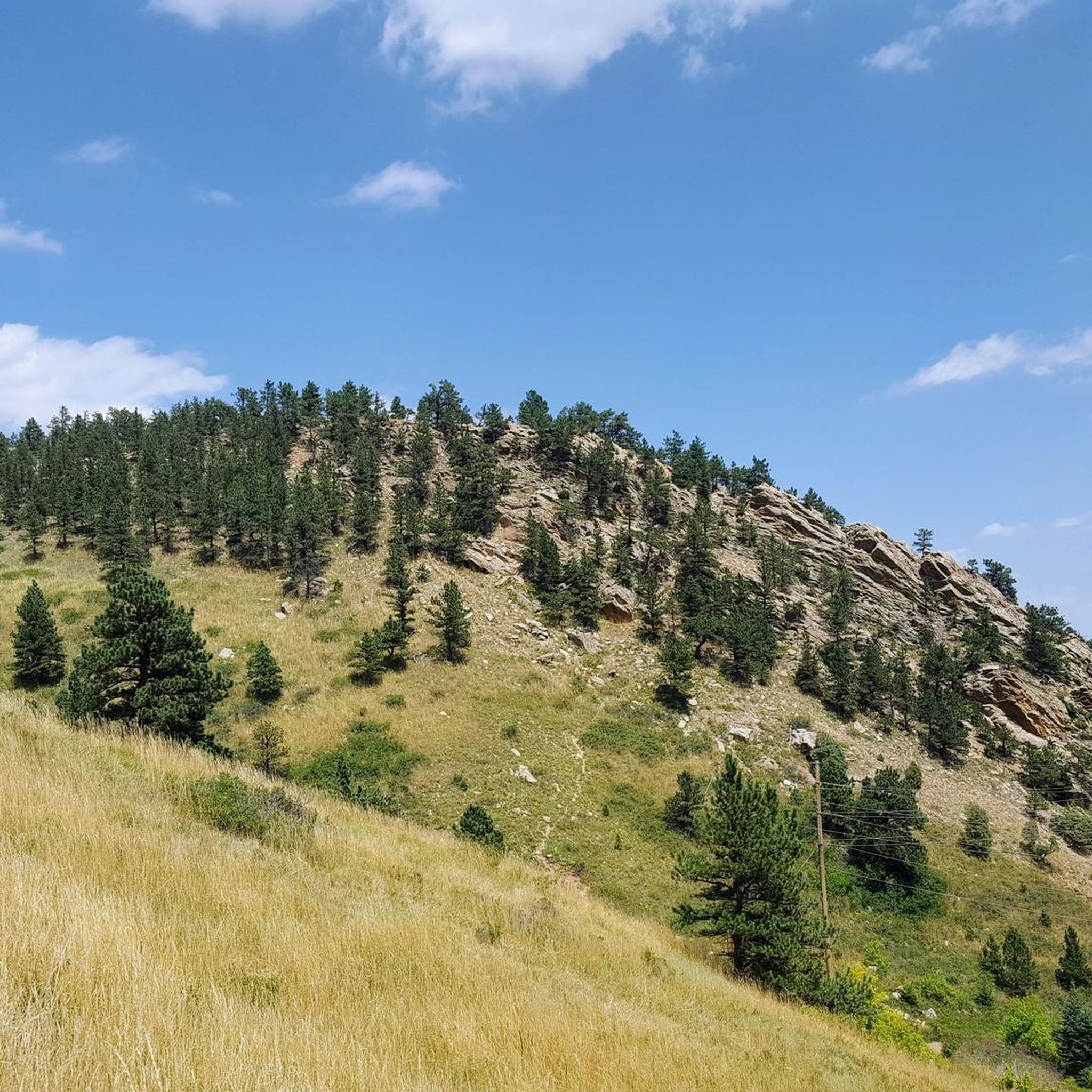
An impressive rock formation just on the outskirts of Boulder.
0
0

As seen in the pictures, there is an old VW Beetle that has seen...better days. This car can be reached by traveling through the Gordon Gulch camping area. Tucked away in Roosevelt National Forest, the Gordon Gulch dispersed camping area is a great option for free camping in the Front Range. There are 15 designated sites available, and camping is not permitted outside of these indicated areas.
0
0

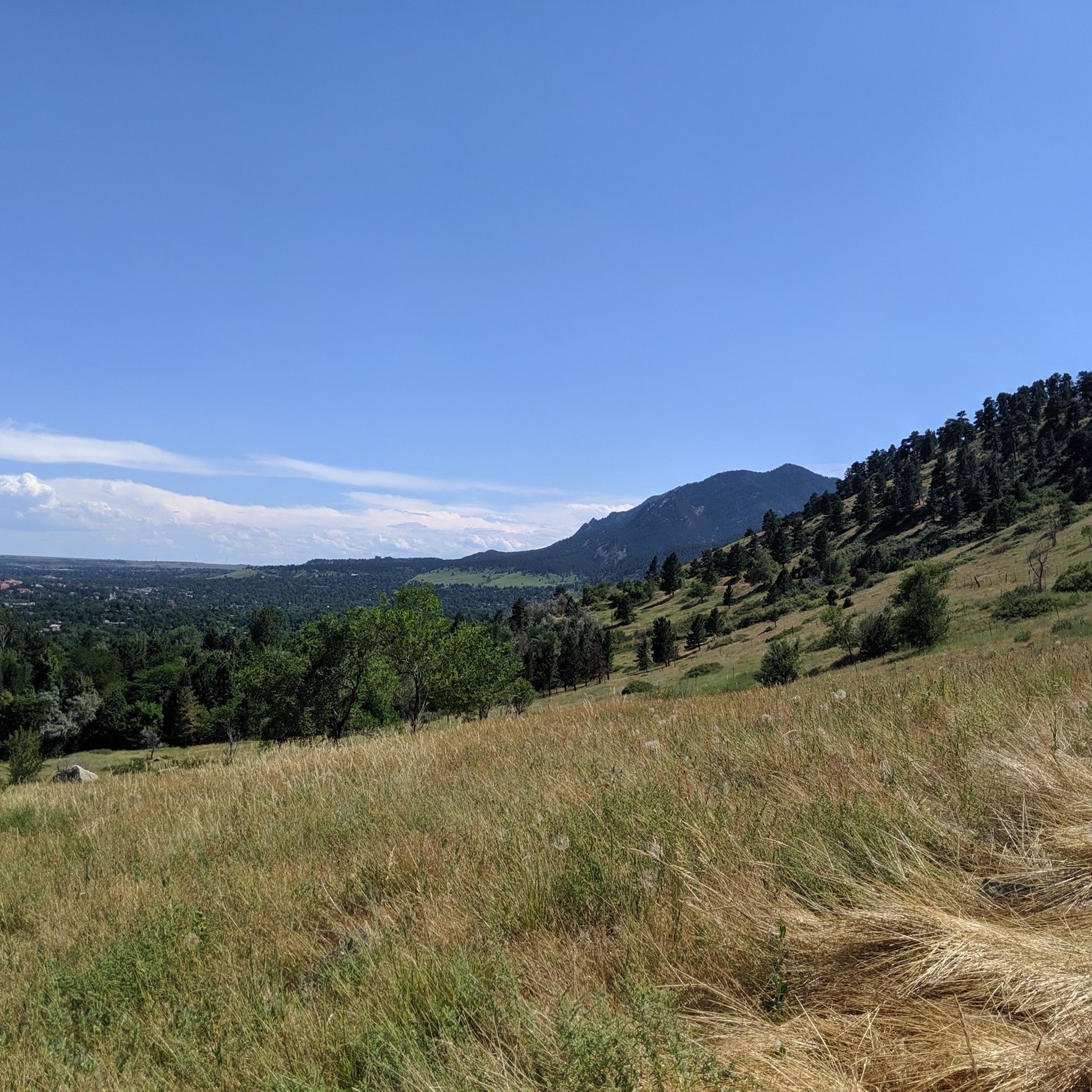
Just outside Boulder, this summit at 7,160 feet, will give you panoramic views of Boulder, The Continental Divide and the eastern plains.
0
0

Although many road cyclists prefer to ride on the narrow, twisting, and well-trafficked road, the recently re-opened Boulder Creek Path, which takes you up to Chapman Drive, is an excellent alternative to what can sometimes be a dangerous-feeling road down the narrow Boulder Canyon. The bike path, which is a mix of concrete and finely-crushed gravel, traverses next to Boulder Creek, crossing under the highway a few times. Sometimes on busy days you can actually move faster on the descent via this path because you're not sitting in traffic with the cars!
0
0
Just a few miles up Sunshine Canyon from downtown Boulder is Bald Mountain and the Bald Mountain Scenic Area. There is a short (.8 mile loop), scenic hike to the summit of Bald Mountain, which stands at 7,160 feet. From this spot you get fantastic views of the Continental Divide and of the city of Boulder and the Great Plains. This is the perfect spot for families and those who wish to take a short break from the city in the mountains.
0
0
As seen in the pictures, there is an old VW Beetle that has seen...better days. This car can be reached by traveling through the Gordon Gulch camping area. Tucked away in Roosevelt National Forest, the Gordon Gulch dispersed camping area is a great option for free camping in the Front Range. There are 15 designated sites available, and camping is not permitted outside of these indicated areas.
0
0

There are a lot of different views on the Red Rocks trails. The red sandstone rock formations in the area are what give this system the name Red Rocks Trail.
1
0

Half a mile west of Eben G Fine park, the Boulder Creek Path turns into 2 miles of packed gravel. A gentle grade lets you enjoy the neighboring creek and beautiful canyon views. Enjoy this route on your way to Four Mile Canyon Drive, Chapman Drive Trail (up to Flagstaff), and Magnolia & Sugarloaf Roads (via a 1.5 mile sojourn on Highway 119).
0
0
Frequently Asked Questions
How many mountain bike trails are available around Sugarloaf?
There are over 14 mountain bike trails around Sugarloaf, offering a variety of experiences for different skill levels. These routes are highly rated by the komoot community, with an average score of 3.7 stars.
What kind of terrain can I expect on mountain bike trails in Sugarloaf?
Mountain biking around Sugarloaf features diverse terrain within the Carrabassett Valley, characterized by mountainous landscapes and extensive forest networks. You'll encounter natural rocky and rooty singletrack, significant elevation changes, and trails winding through woods and fields. The region is known for its 'classic New England jank' with raw, technical sections.
What are the difficulty levels of mountain bike trails in Sugarloaf?
The trails around Sugarloaf cater to a wide range of abilities. There is 1 easy route, 6 moderate routes, and 7 difficult routes available, ensuring options for beginners to advanced riders.
What do other mountain bikers say about the trails in Sugarloaf?
The mountain bike trails in Sugarloaf are highly rated by the komoot community, with an average score of 3.7 stars from over 7 reviews. More than 500 mountain bikers have used komoot to explore the varied terrain, often praising the challenging natural features and diverse landscapes.
Are there any easy mountain bike trails suitable for beginners in Sugarloaf?
Yes, there are easy trails available. For a less strenuous ride, consider the Bald Mountain loop, which is 1.1 miles (1.8 km) long with minimal elevation gain, making it a good option for those new to mountain biking.
Are there challenging mountain bike trails for experienced riders in Sugarloaf?
Absolutely. Sugarloaf offers several challenging routes for experienced riders. For instance, the Betasso Preserve: Canyon and Benjamin Loops is a difficult 9.0 miles (14.6 km) trail with significant elevation gain and technical sections. Another option is the Walker Ranch Loop – Walker Ranch Loop Trailhead loop from Walker Ranch Homestead, a moderate to difficult 11.0 miles (17.8 km) route with over 600 meters of elevation gain.
What natural landmarks or viewpoints can I see along the mountain bike trails?
While riding, you can enjoy sweeping views of the impressive Bigelow Range. The trails themselves wind through forests and fields, showcasing the natural beauty of the Carrabassett Valley. Some nearby natural highlights include Green Mountain Peak, Bear Peak, and Mount Sanitas, which are popular summits in the area.
Are there any loop trails for mountain biking in Sugarloaf?
Yes, many of the mountain bike trails in Sugarloaf are designed as loops, offering a continuous riding experience. Examples include the Walker Ranch Loop and the Bald Mountain loop, allowing you to start and finish at the same point.
When is the best time of year for mountain biking in Sugarloaf?
Sugarloaf is a year-round outdoor hub, but for mountain biking, the warm-weather months are ideal. The resort has significantly invested in expanding its summer and fall offerings, making it a prime destination when the trails are clear of snow and ice. Always check local conditions before heading out.
Are there any places to eat or drink near the mountain bike trails?
The Sugarloaf Outdoor Center serves as a central hub and often has amenities. Additionally, the region offers various options for food and drink. For example, the Ward General Store is a nearby cafe that could be a convenient stop.
Is there parking available at the trailheads?
Yes, the Sugarloaf Outdoor Center is a central hub for mountain biking and provides facilities including bike rentals and service. Many trailheads in the Carrabassett Valley area, especially those associated with the Outdoor Center, offer dedicated parking for mountain bikers.
Can I access the mountain bike trails using public transport?
While Sugarloaf is a premier destination, direct public transport options to specific trailheads might be limited. It's advisable to check local shuttle services or resort transportation options, as the area is primarily accessed by personal vehicle.
Most popular attractions around Sugarloaf

Get inspired with the komoot mobile app


Explore more
Browse the best MTB trails in other regions.
