The best MTB trails around St. Ann Highlands
5.0
(2)
241
riders
21
rides
Mountain biking around St. Ann Highlands offers diverse landscapes, transitioning from the Rocky Mountains to the Great Plains. The region features iconic tilted rock formations like The Flatirons, along with significant peaks such as Green Mountain and Bear Peak. Canyons and foothills, including Sunshine Canyon and Lefthand Canyon, provide varied terrain from gravel roads to scenic climbs. The landscape is further characterized by pine forests and conserved open spaces.
Best mountain bike trails around St. Ann Highlands
- The most popular…
Last updated: June 28, 2026
5
riders
22.1km
02:10
540m
540m
Moderate mountain bike ride. Good fitness required. Advanced riding skills necessary.
1
riders
17.3km
02:08
330m
330m
Hard mountain bike ride. Good fitness required. Advanced riding skills necessary. Some portions of the route may require you to push your bike.

Sign up for free
26
riders
9.63km
01:01
170m
170m
Moderate mountain bike ride. Great for any fitness level. Advanced riding skills necessary.
18
riders
17.6km
01:47
600m
600m
Moderate mountain bike ride. Good fitness required. Advanced riding skills necessary.
11
riders
17.9km
01:52
470m
470m
Hard mountain bike ride. Good fitness required. Advanced riding skills necessary. Some portions of the route may require you to push your bike.
Get access to more routes and recommendations from other explorers.
Sign up for free
Already have an account?
Our route recommendations are based on thousands of hikes, rides, and runs completed by other people on komoot.
Start today with a free account
Your next adventure awaits.
Login or Signup

Tips from the Community

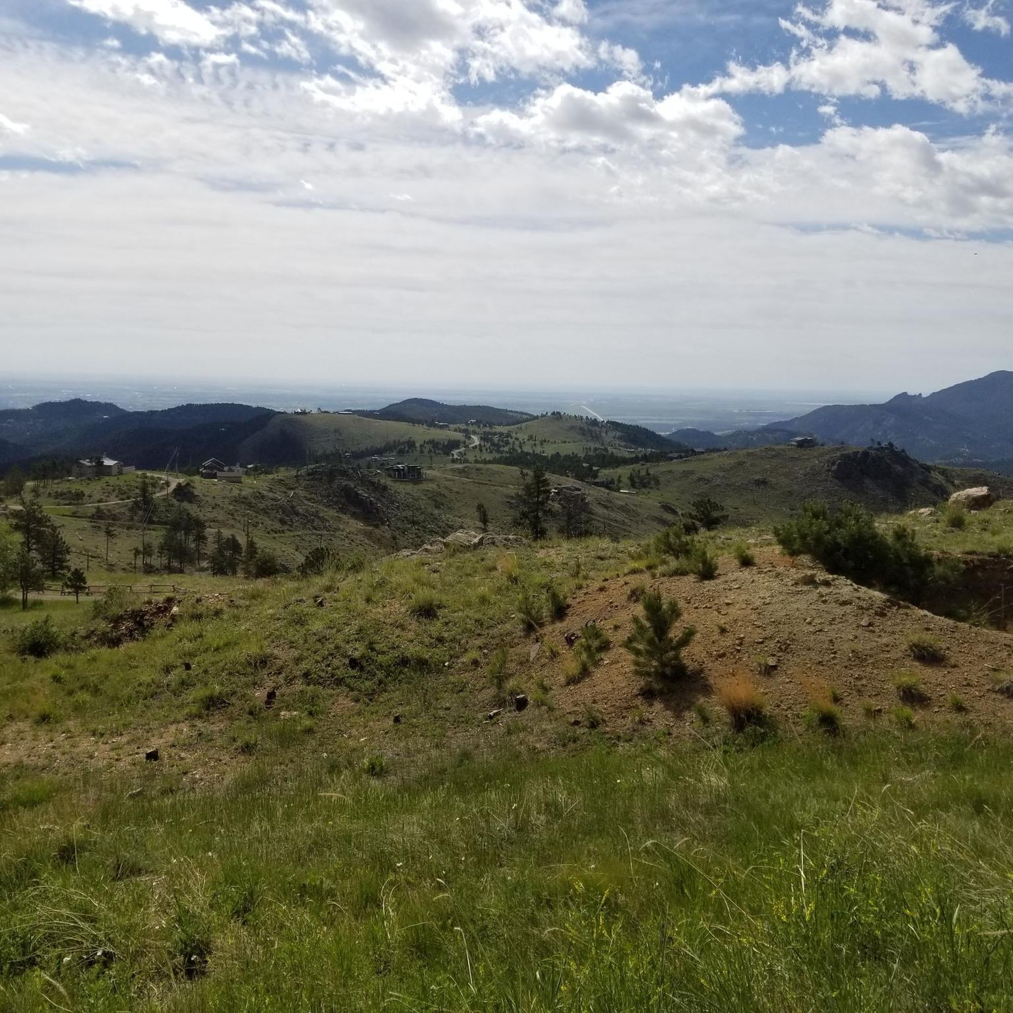
There is a sizeable dirt parking lot and a myriad of packed dirt trails branching off in every direction. You can run just down the road to take a look at the ghost town ruins. The views of the mountains from here are stunning.
0
0

The town was established in the early 1870s for workers of Caribou silver mine. The silver mine did well and by 1875 at its peak, about 3,000 people lived in town. The Caribou silver mine was sold for $3 million to Dutch Investors in 1871. It was resold in 1876 to local entrepreneurs who incorporated the mine and sold shares in New York. A fire took over the town in 1879. By the 1920s, Caribou was home to fewer than 50 people.
0
0
As seen in the pictures, there is an old VW Beetle that has seen...better days. This car can be reached by traveling through the Gordon Gulch camping area. Tucked away in Roosevelt National Forest, the Gordon Gulch dispersed camping area is a great option for free camping in the Front Range. There are 15 designated sites available, and camping is not permitted outside of these indicated areas.
0
0
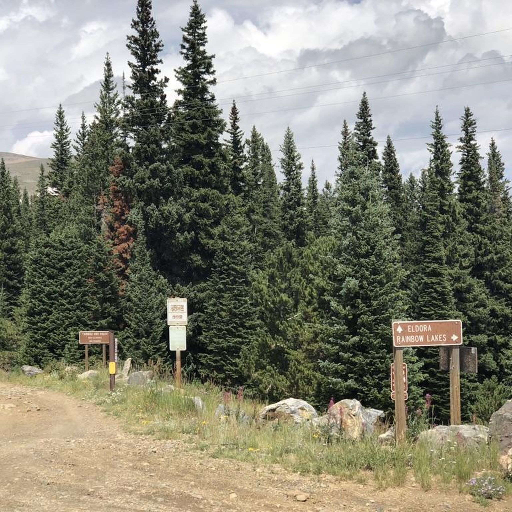
There is a dirt parking lot here with room for around a dozen vehicles. From here you can run, hike or bike on the dense trail system east or west of the highway
0
0
There is an excellent network of running and mountain biking trails from the trailhead, which has a sign map and a decently sized dirt parking lot.
0
0

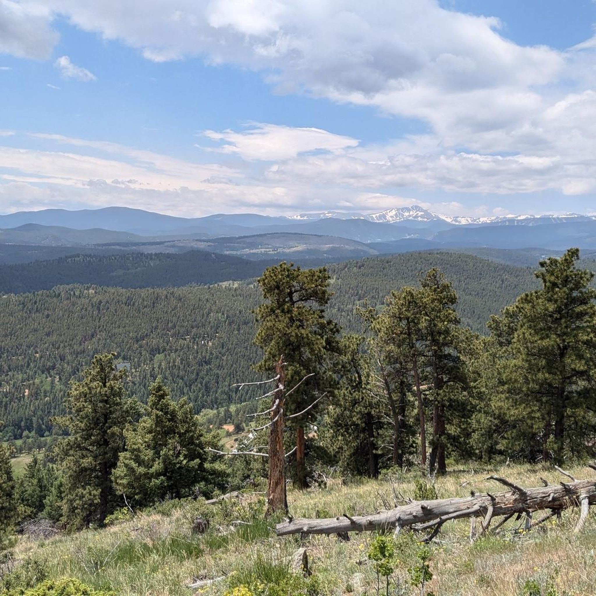
Take in a great view of the Continental Divide, as you look straight in to the Indian Peaks.
0
0
Hobbit Trail is one of the original trails in West Mag system. It goes through clear cut meadows with great views of the Indian Peaks and the peaks of Rocky Mountain National Park.
0
0
The town was established in the early 1870s for workers of Caribou silver mine. The silver mine did well and by 1875 at its peak, about 3,000 people lived in town. The Caribou silver mine was sold for $3 million to Dutch Investors in 1871. It was resold in 1876 to local entrepreneurs who incorporated the mine and sold shares in New York. A fire took over the town in 1879. By the 1920s, Caribou was home to fewer than 50 people.
0
0
Frequently Asked Questions
How many mountain bike trails are available around St. Ann Highlands?
There are over 20 mountain bike trails around St. Ann Highlands, offering a wide range of experiences for different skill levels. The region is highly rated by the komoot community, with an average score of 5.0 stars from 4 reviews.
Are there mountain bike trails suitable for beginners in St. Ann Highlands?
Yes, St. Ann Highlands offers trails suitable for beginners. While many routes are moderate to difficult, you can find easier options. For instance, the Gordon Gulch Trail is a moderate route that provides varied terrain through forested areas, making it a good option for those looking to build their skills.
What kind of terrain can I expect on mountain bike trails in St. Ann Highlands?
The terrain around St. Ann Highlands is incredibly diverse, transitioning from the Rocky Mountains to the Great Plains. You'll encounter everything from smooth, flowy singletrack and fire roads to rocky, technical climbs and descents. Areas like Sunshine Canyon and Lefthand Canyon feature varied terrain, including gravel roads and scenic climbs, leading into the foothills of the Front Range.
Are there any challenging mountain bike routes for advanced riders?
Absolutely. Advanced riders will find plenty of challenging options. The Blue Dot Trail is a difficult 10.7-mile path featuring challenging sections and significant elevation changes. Another demanding option is the Boulder Creek Path – Chapman Drive Trailhead loop from Sugarloaf, which is a difficult 31.9-mile route with substantial elevation gain.
Can I find circular mountain bike routes in the area?
Yes, many routes in St. Ann Highlands are designed as loops, allowing you to start and end at the same point. An example is the Hobbit Trail loop from Nederland, which is a 10.6-mile trail leading through mountain forests.
What are some interesting places or landmarks to see near the mountain bike trails?
Beyond the trails, the region offers several interesting spots. You can explore the Sunshine Canyon (Gravel Section) or the scenic Fourmile Canyon. For a break, consider visiting the Ward General Store or the Gold Hill General Store, which are popular stops for cyclists.
Are there any lakes or water features accessible from the mountain bike routes?
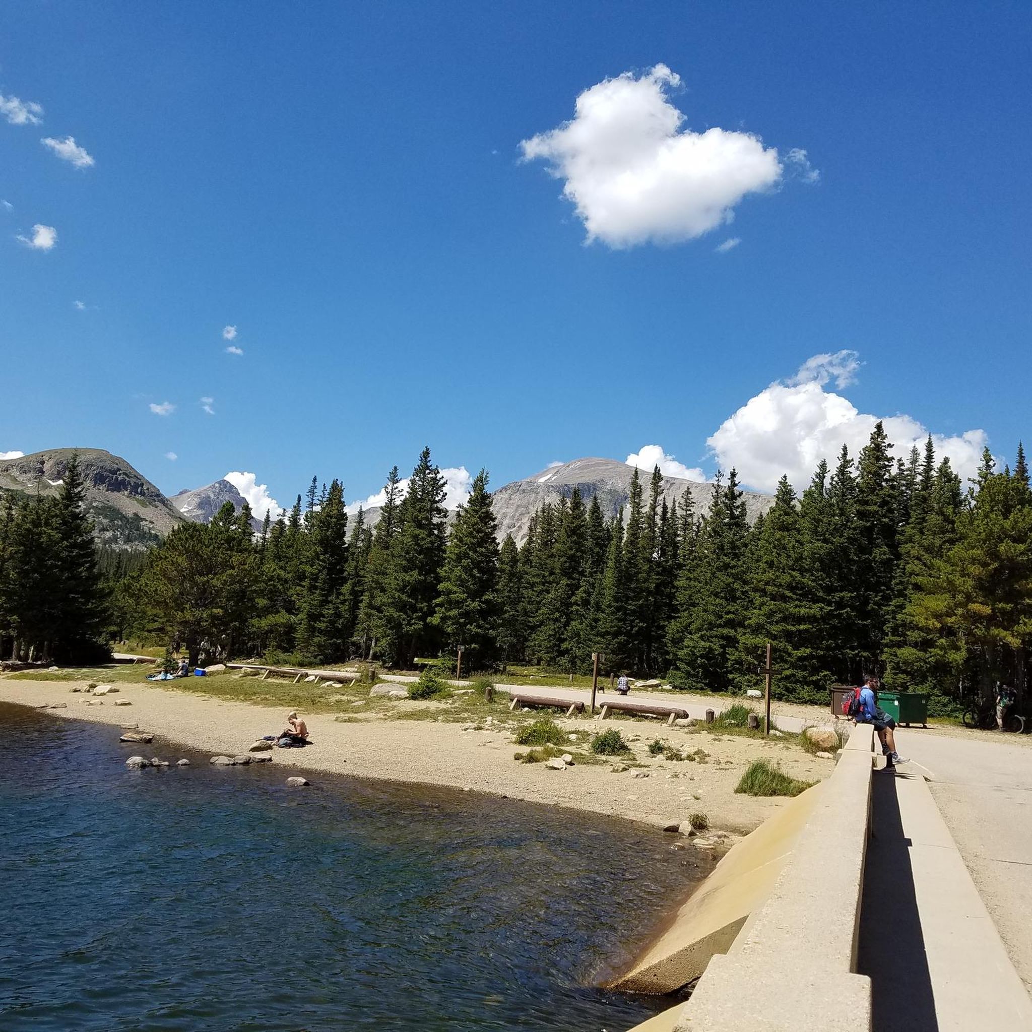
Yes, you can find beautiful lakes in the vicinity. Gross Reservoir, Mud Lake, and Barker Reservoir are all nearby and offer scenic views, perfect for a post-ride cool-down or a picnic.
What is the best time of year for mountain biking in St. Ann Highlands?
The region offers great mountain biking opportunities across multiple seasons. While specific trail conditions can vary, the spring, summer, and fall generally provide the most favorable weather. Always check local trail conditions before heading out, especially after rain or during shoulder seasons.
Are there any specific rules or permits required for mountain biking in St. Ann Highlands?
While many trails are open to the public, some specific areas, like Betasso Preserve, have directional requirements for mountain bikes and may restrict riding on certain days (e.g., not permitted on Wednesdays and Saturdays at Betasso Preserve). It's always best to check the local land management agency's website for the most current regulations and any permit requirements for specific trail systems.
Can I find places to eat or drink near the mountain bike trails?
Yes, the area has amenities for cyclists. The small mountain town of Ward, accessible via Lefthand Canyon, has a cyclist-friendly general store. Additionally, the Gold Hill General Store is another option for refreshments.
What do other mountain bikers enjoy most about the trails in St. Ann Highlands?
The area is highly rated by the komoot community, with an average score of 5.0 stars. Reviewers often praise the diverse landscapes, from the Rocky Mountain foothills to varied canyons and pine forests, and the extensive network of trails that cater to various ability levels, from flowy singletrack to technical climbs.
Are there any trails that offer good opportunities for wildlife viewing?
The landscape around St. Ann Highlands encompasses pine forests, rolling grasslands, and conserved open spaces that support diverse wildlife. While specific trails aren't designated for wildlife viewing, riding through areas like the Mud Lake Open Space or forested routes increases your chances of spotting local animals like deer and various bird species.
Most popular attractions around St. Ann Highlands

Get inspired with the komoot mobile app


Explore more
Browse the best MTB trails in other regions.
