The best road cycling routes around Langer Lake
4.5
(104)
1,115
riders
37
rides
Road cycling routes around Langer Lake are situated in the Märkisch-Oderland region, characterized by a generally flat to gently rolling landscape. The area features a network of cycle paths and roads, often passing through agricultural fields, small villages, and forested sections. Elevations are typically low, with routes offering gradual ascents and descents rather than significant climbs.
Best road cycling routes around Langer Lake
- The most popular road cycling route is Gabelfelder Cycle Path – Trappenfelde Avenue loop from Rehfelde,…
Last updated: July 4, 2026
5.0
(2)
67
riders
49.4km
02:11
150m
150m
Moderate road ride. Good fitness required. Some segments of this route may be unpaved and difficult to ride.
5.0
(1)
13
riders
Moderate road ride. Good fitness required. Some segments of this route may be unpaved and difficult to ride.

Sign up for free
5.0
(3)
16
riders
Easy road ride. Great for any fitness level. Mostly well-paved surfaces and easy to ride.
11
riders
59.2km
02:31
190m
190m
Moderate road ride. Good fitness required. Mostly well-paved surfaces and easy to ride.
8
riders
Moderate road ride. Good fitness required. Mostly well-paved surfaces and easy to ride.
Get access to more routes and recommendations from other explorers.
Sign up for free
Already have an account?
Our route recommendations are based on thousands of hikes, rides, and runs completed by other people on komoot.
Start today with a free account
Your next adventure awaits.
Login or Signup
Tips from the Community

The beautiful avenue good for cycling ... little traffic
0
0

rural "idyllic" without any frills
0
0

There are 2-3 places where there are major root breakthroughs – stay alert.
0
0

beautiful view and new super asphalt road to Kirchhofen
1
0

This bridge has been closed for some time due to construction work. It's not expected to reopen until the end of September 25th.
0
0

Good asphalted cycle path
0
0

The bike path is so-so, could be better. (Narrow and bumpy) Use of the bike path is mandatory.
0
0
Coming from Schöneiche, the road is unfortunately unpaved. However, it is still accessible by road bike. From the industrial area onward, it is paved.
0
0
Frequently Asked Questions
How many road cycling routes are available around Langer Lake?
There are over 50 road cycling routes available in the Langer Lake area. These routes cater to various skill levels, with 10 easy, 41 moderate, and 1 difficult route to choose from.
What is the typical terrain and difficulty for road cycling routes in the Langer Lake area?
The road cycling routes around Langer Lake are generally characterized by a flat to gently rolling landscape. You'll find a network of well-maintained cycle paths and roads, often passing through agricultural fields, small villages, and forested sections. Elevations are typically low, offering gradual ascents and descents rather than significant climbs, making it suitable for most cyclists.
Are there any family-friendly road cycling routes near Langer Lake?
Yes, the area offers several family-friendly options due to its generally flat terrain and well-maintained cycle paths. Routes like the Garzauer Chaussee – Garzau Bunker loop from Rehfelde are rated as easy, making them suitable for families looking for a relaxed ride. Many routes avoid heavy traffic, providing a safer environment for younger riders.
What kind of natural features or landmarks can I expect to see along the road cycling routes?
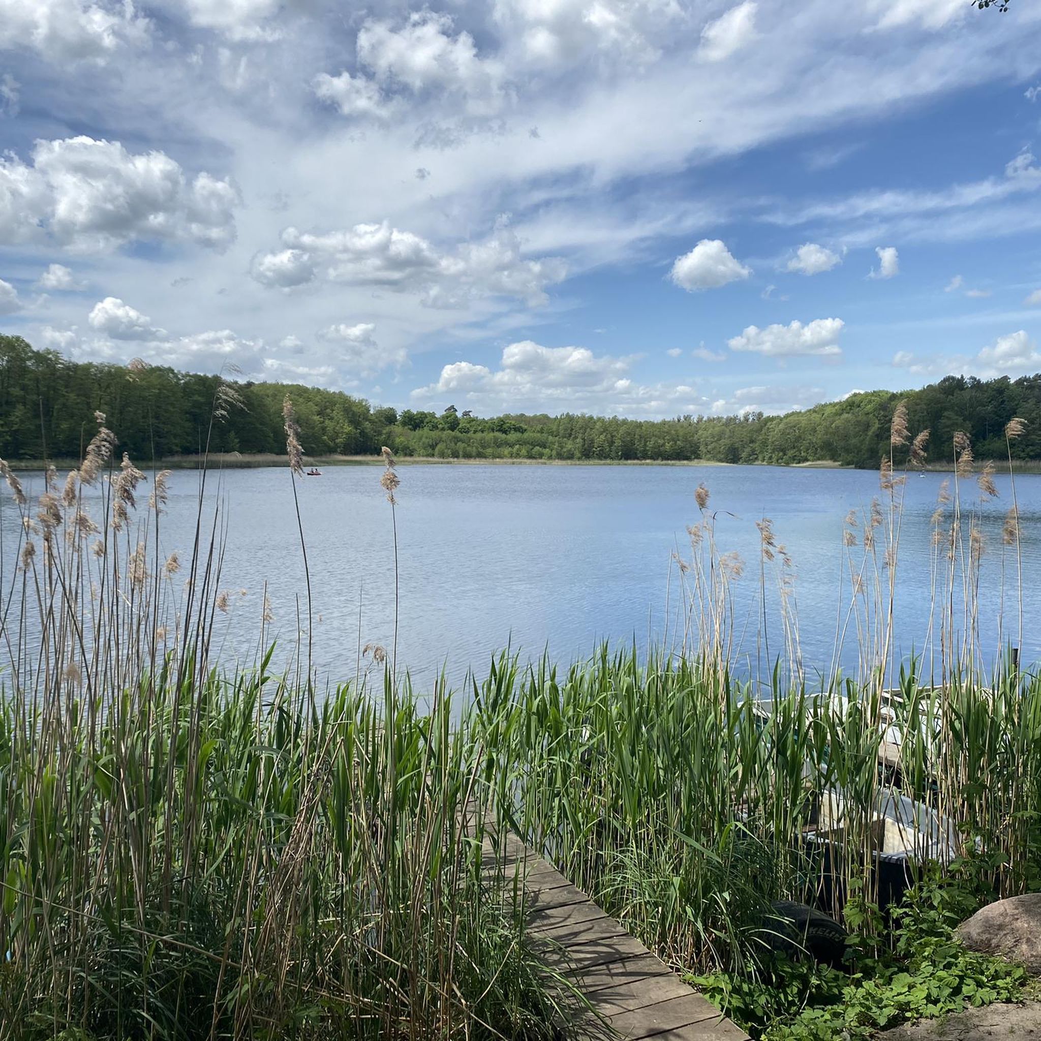
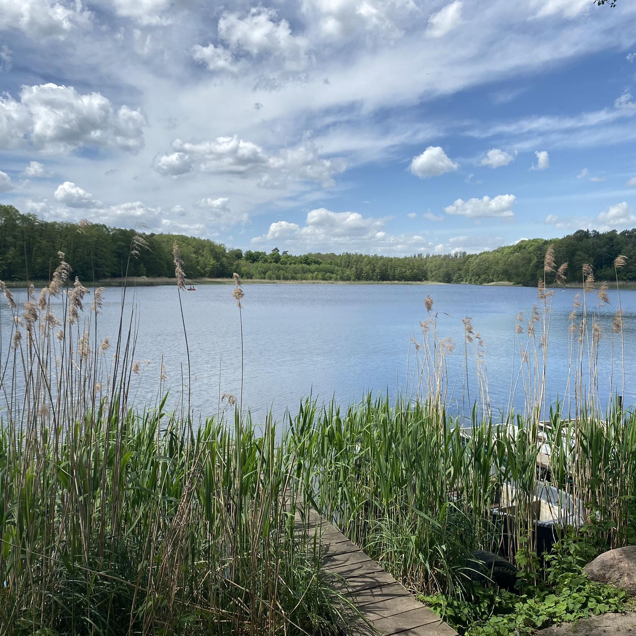
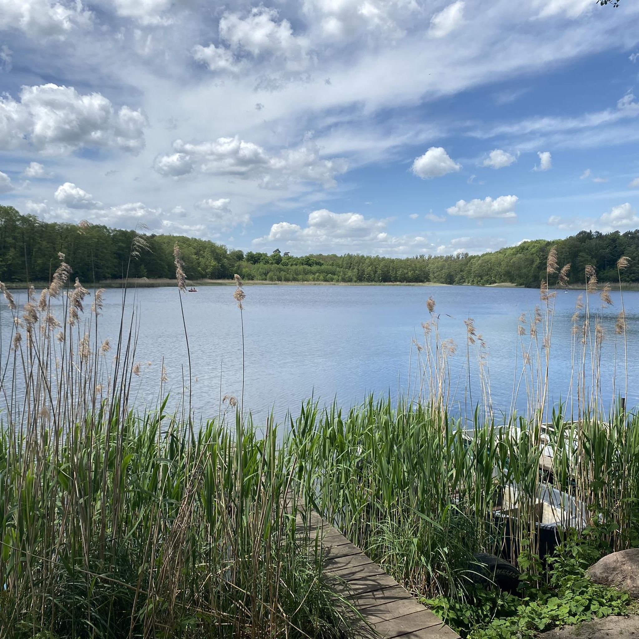
While the immediate Langer Lake area is known for its alpine features, the road cycling routes in the Märkisch-Oderland region offer a different kind of natural beauty. You'll cycle through open agricultural landscapes, small forested areas, and charming villages. Specific points of interest include the Long Lake (Garzin), the Langer See Bathing Area, and the Wooden Dock at Langer See. You might also pass by the Garzau Bunker on some routes, offering a historical landmark.
What do other road cyclists enjoy most about cycling in the Langer Lake region?
The Langer Lake region is highly rated by the komoot community, with an average score of 4.5 stars from over 130 reviews. Cyclists often praise the well-maintained cycle paths, the varied rural scenery, and the peaceful atmosphere of the agricultural fields and small forested areas. The minimal elevation changes are also frequently highlighted as a positive aspect for enjoyable rides.
Are there any longer road cycling routes for more advanced riders?
Yes, for those seeking a longer challenge, routes like the Forest cycle path with smooth asphalt – Spree Bridge at Mönchwinkel loop from Rehfelde offer nearly 60 miles (97 km) of riding. While the terrain remains generally flat, the extended distance provides a good endurance test. The Old B1/B5 Herzfelde – Kagel–Kienbaum Cycle Path loop from Rehfelde is another moderate option spanning over 36 miles (59 km).
What is the best time of year to go road cycling around Langer Lake?
The best time for road cycling around Langer Lake is typically during the spring, summer, and early autumn months. During these periods, the weather is generally mild, and the landscapes are vibrant. While cycling is possible year-round, winter can bring colder temperatures and potentially icy conditions on paths, so it's advisable to check local weather forecasts.
Are there options for circular road cycling routes in the area?
Yes, many of the road cycling routes around Langer Lake are designed as loops, allowing you to start and end at the same point. For example, the popular Gabelfelder Cycle Path – Trappenfelde Avenue loop from Rehfelde is a 30.7-mile (49.4 km) circular route. This design makes planning your ride convenient, especially if you're driving to a starting point.
Is there parking available for cyclists near the routes?
Yes, many of the routes, particularly those starting from towns like Rehfelde, offer convenient parking options. As the area is popular for outdoor activities, you'll typically find designated parking areas or roadside parking suitable for cyclists. It's always a good idea to check specific starting points for detailed parking information.
Can I reach the Langer Lake cycling routes using public transport with my bike?
The Langer Lake region is accessible by public transport, and many local trains and buses in Germany allow bikes, often with a special ticket or during off-peak hours. Towns like Rehfelde, which serve as common starting points for routes, are connected by regional train lines. We recommend checking the specific public transport provider's website for their current bike carriage policies and schedules before your trip.
Are there any cafes or places to stop for refreshments along the road cycling routes?
The routes often pass through or near small villages where you can find local cafes, bakeries, or small shops to grab refreshments. While not every route will have frequent stops, planning your ride to pass through these villages can provide pleasant breaks. It's advisable to carry sufficient water and snacks, especially on longer stretches through agricultural areas.
Most popular routes around Langer Lake
Most popular attractions around Langer Lake

Get inspired with the komoot mobile app


Explore more
Browse the best Road cycling routes in other regions.
