The best road cycling routes around North Washington
4.4
(103)
6,574
riders
154
rides
Road cycling routes around North Washington traverse a diverse landscape, characterized by river valleys, rolling hills, and expansive open spaces. The region offers varied terrain, from paved paths alongside waterways to routes through more developed areas. Cyclists can expect a mix of flat sections and gentle ascents, with some routes featuring moderate elevation gains.
Best road cycling routes around North Washington
- The most popular road cycling route is South Platte River Trail Loop, a 31.5 miles (50.7 km) trail…
Last updated: July 7, 2026
4.2
(5)
52
riders
50.7km
02:23
130m
130m
Moderate road ride. Good fitness required. Mostly well-paved surfaces and easy to ride.
22
riders
37.6km
01:51
290m
290m
Moderate road ride. Great for any fitness level. Some segments of this route may be unpaved and difficult to ride.

Sign up for free
1.0
(1)
11
riders
Easy road ride. Great for any fitness level. Mostly well-paved surfaces and easy to ride.
5.0
(1)
6
riders
29.6km
01:27
180m
180m
Moderate road ride. Great for any fitness level. Some segments of this route may be unpaved and difficult to ride.
7
riders
Moderate road ride. Good fitness required. Some segments of this route may be unpaved and difficult to ride.
Get access to more routes and recommendations from other explorers.
Sign up for free
Already have an account?
Our route recommendations are based on thousands of hikes, rides, and runs completed by other people on komoot.
Start today with a free account
Your next adventure awaits.
Login or Signup

Tips from the Community

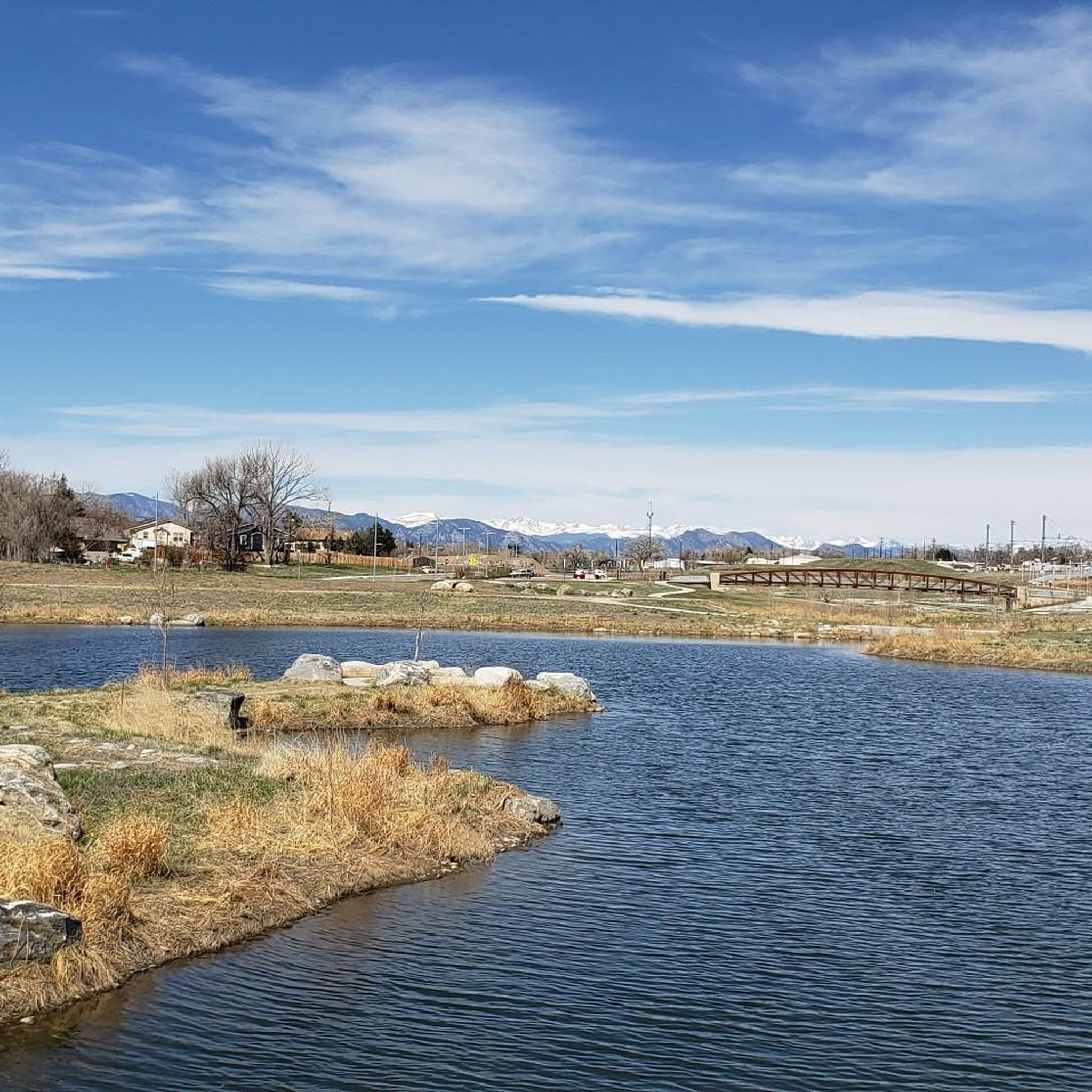
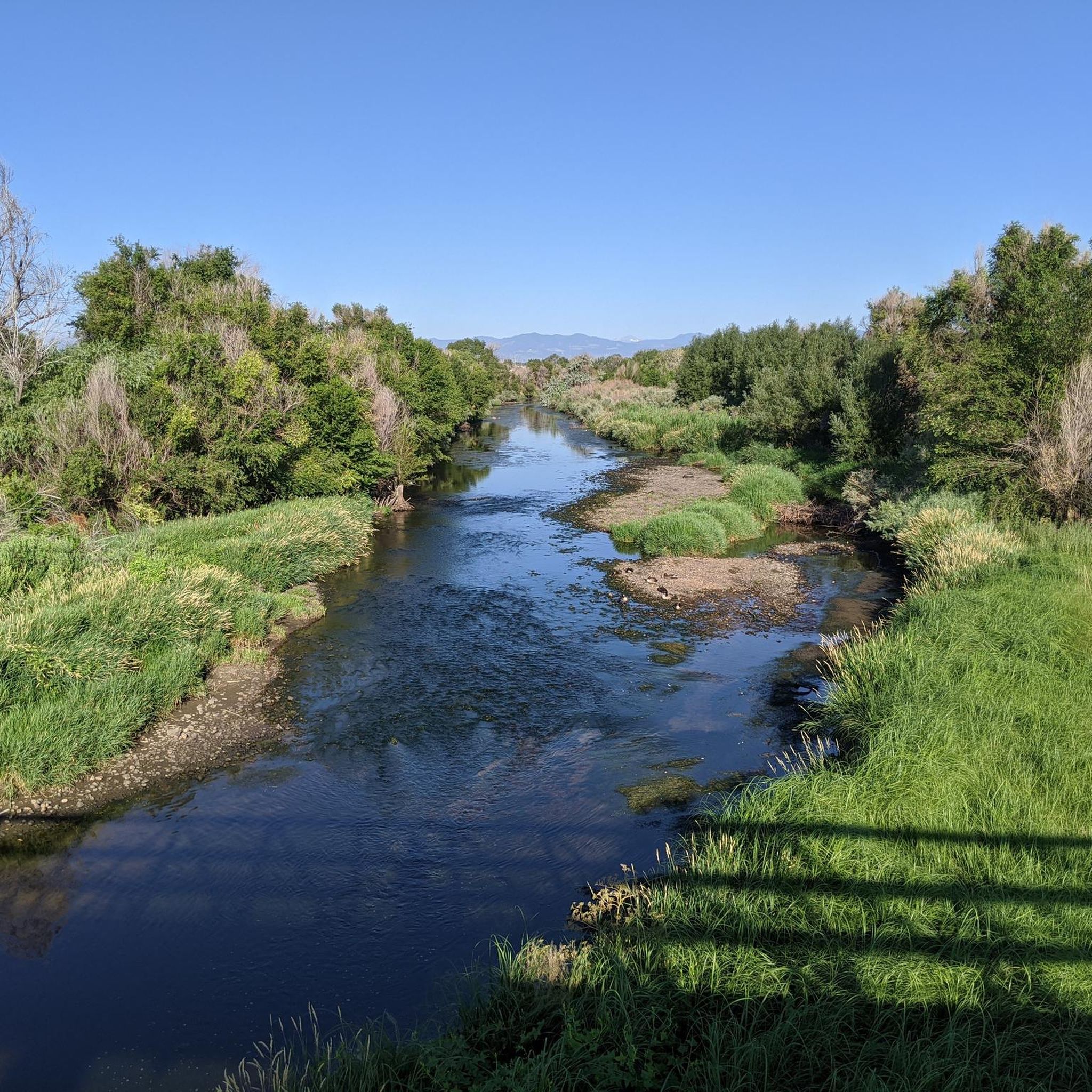
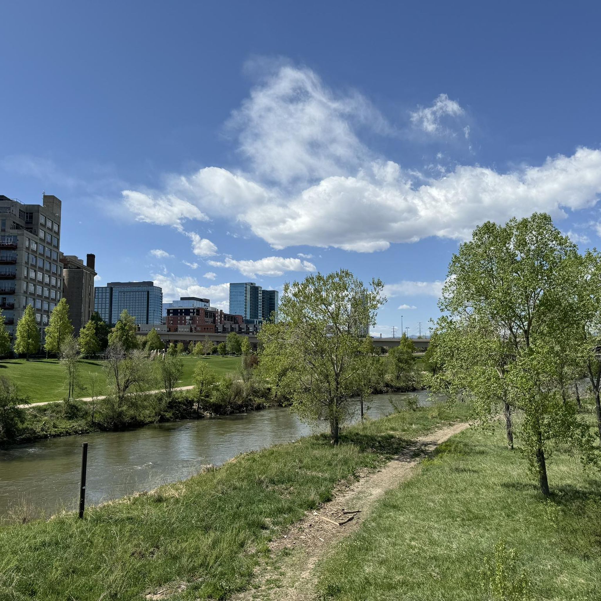
Great view of the South Platte River from the cycle trail. The trail is popular with walkers, runners, and cyclists, so if you want to stop to enjoy the view, make sure you pull off to the side.
0
0

The Clear Creek Trail is a long path that is a mixture of dirt, gravel, and pavement (though the majority is paved). Cyclists, runners, and walkers use the trail, which connects to a few different city parks and other trails.
0
0

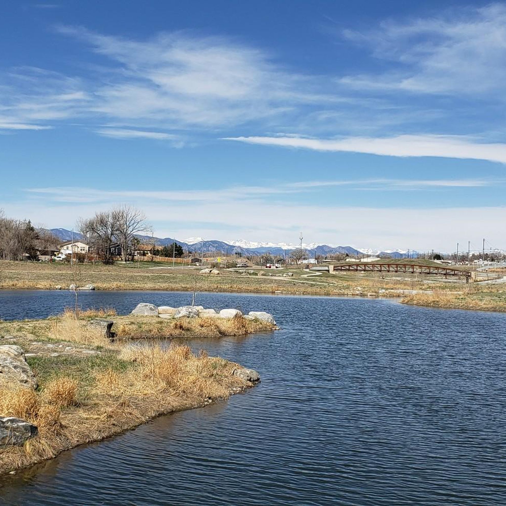
The Lowell Ponds Wildlife Area in northwest Denver encompasses approximately 43 acres of warm-water ponds and riparian habitats. These ponds are home to species such as largemouth bass, smallmouth bass, channel catfish, bluegill, crappie, and bullhead catfish. Boating is prohibited to protect the habitat. In addition to fishing, Lowell Ponds is a nice spot for picnicking, hiking, and wildlife viewing. The site known for birdwatching, especially during migration periods when the ponds attract various waterfowl species.
2
0

Clear Creek Trail Bridge runs over Clear Creek on the Clear Creek Trail. It is narrow and arched and surrounded by lush woods. There are clearings under the trees around the river to stop, break, and take in the views next to the relaxing, babbling creek.
0
0

This trail follows the path of Little Dry Creek, which holds the distinction of being the site of the first significant gold discovery in Colorado, way back in 1858! You'll encounter vibrant wildflower meadows in spring, peaceful open spaces, and even some sections with rock formations.
0
0
Clear Creek, a vibrant waterway roughly 66 miles long, originates in the Rocky Mountains west of Denver, finally meeting with the South Platte River. The contrast in the water's color and flow is often noticeable, with Clear Creek's clear, fast-moving water meeting the South Platte's slower, sometimes more opaque flow.
0
0
The Sand Creek Regional Greenway is a 13-mile mostly paved trail that provides the opportunity to experience wilderness in the metro Denver area. There are a bunch of different trailheads and parks where you can access the path, so you don't have to try to knock it all out in one go...unless you want to.
0
0
The South Platte River Trail runs for nearly 35 miles through the suburbs and city of Denver, Colorado. This paved, multi-use path is popular with runners and walkers as well as bike commuters but is also a fantastic way to explore the Denver area on a long weekend ride away from traffic. The trail provides access to numerous parks, including Chatfield State Park at its far southern end. The South Platte River Trail is part of a larger network of trails in the Denver metropolitan area, connecting to the Cherry Creek Trail and the High Line Canal Trail, among others. It offers great views of the foothills, river, and wildlife as you ride.
0
0
Frequently Asked Questions
What types of road cycling routes can I find in North Washington?
North Washington offers a diverse range of road cycling routes, from leisurely rides along river valleys and open plains to more challenging ascents through mountainous terrain. You'll find options suitable for various skill levels, including easy, flat paths and moderate routes with some climbing. In total, there are over 160 road cycling routes available in the region.
Are there any easy or beginner-friendly road cycling routes in North Washington?
Yes, North Washington has numerous easy routes perfect for beginners or those seeking a relaxed ride. For example, the Confluence Park – Cherry Creek Trail loop from 41st & Fox is an easy 20.4-mile path that combines urban parkland with riverside trails, featuring minimal elevation. Another accessible option is the South Platte River Bridge – Valente Lake loop from Commerce City, a 20-mile trail through river corridors and open areas.
What are some challenging road cycling routes for experienced riders in North Washington?
For experienced cyclists seeking a challenge, the region's mountainous areas, particularly around the North Cascades National Park, offer significant elevation gains. The North Cascades Highway (State Route 20) is renowned for its demanding climbs and spectacular views. While specific advanced routes are not detailed in the provided data, the region has 18 routes classified as 'difficult' within komoot, providing ample opportunities for a strenuous ride.
What is the best time of year for road cycling in North Washington?
The best time for road cycling in North Washington is typically from late spring through early autumn. During this period, mountain passes like the North Cascades Highway are usually open, offering breathtaking scenery. The region experiences varied weather, so checking local forecasts is always recommended. Some areas might offer cycling into winter, but many higher elevation routes will be closed due to snow.
Are there any scenic loop routes for road cycling in North Washington?
Yes, many road cycling routes in North Washington are designed as loops, allowing you to start and end at the same point while enjoying diverse scenery. The South Platte River Trail Loop is a popular 31.5-mile moderate route that follows the river, offering a scenic circular ride. Another option is the Lowell Ponds Wildlife Area – Walnut Creek Open Space loop from 41st & Fox, a 39.4-mile route with varied terrain.
What natural attractions can I see along road cycling routes in North Washington?
North Washington's road cycling routes often pass by stunning natural features. You can find routes near various lakes, such as the Lowell Ponds Wildlife Area, Bluff Lake Park, Ferril Lake, and Duck Lake. The region is also known for its dramatic landscapes, including the North Cascades, Methow Valley, and the Columbia River Gorge, offering views of mountains, rivers, and sometimes even waterfalls.
Are there any viewpoints or scenic overlooks along the road cycling routes?
Absolutely. North Washington is rich in scenic beauty. The North Cascades Highway (SR 20) is famous for its panoramic mountain vistas. The Columbia River Gorge also offers dramatic views of towering basalt cliffs. You can also find specific viewpoints like the View of Denver skyline from Sloan's Lake west shore, which provides a different kind of scenic outlook.
What do other road cyclists say about the routes in North Washington?
The road cycling routes in North Washington are highly regarded by the komoot community, with an average rating of 4.5 stars from over 90 reviews. Cyclists often praise the diverse terrain, from river paths and open plains to gentle hills, and the variety of options available for different ability levels. Over 6,000 road cyclists have used komoot to explore the region's routes.
Where can I find parking or trailheads for road cycling routes in North Washington?
Many road cycling routes in North Washington have accessible starting points with parking. While specific parking locations vary by route, areas like The Grove at Commons Park and Confluence Park are known hubs. For detailed trailhead information, it's best to check the individual route pages on komoot, as they often include starting points and parking suggestions.
Are there any historical or cultural landmarks to explore near the cycling routes?
Yes, North Washington offers several interesting landmarks. Cyclists can explore urban attractions like Union Station Denver, Mile High Stadium, and the 16th Street Mall, which are often accessible from routes passing through or near urban centers. The region's history is also reflected in its scenic byways, such as the Historic Columbia River Highway, which offers insights into early road building and passes by significant natural formations.
Can I find information about official US Bicycle Routes in North Washington?
Yes, North Washington is part of the US Bicycle Route system. US Bicycle Route 10 (USBR 10) connects northern Washington from the Idaho border to Anacortes, stretching over 400 miles and following the SR 20 corridor. This route offers varying shoulder widths and utilizes less-traveled backcountry roads. For more information on bicycling in Washington, you can visit the official state website: wsdot.wa.gov.
Most popular attractions around North Washington

Get inspired with the komoot mobile app


Explore more
Browse the best Road cycling routes in other regions.
