The best road cycling routes around Highlands Ranch
4.4
(81)
5,505
riders
20
rides
If you've ever tried to plan road cycling around Highlands Ranch, you know how quickly the options can become overwhelming. With so many trails and routes, it's hard to tell which ones are genuinely worth your time and effort, and which are just filler. You want the highlights, the routes that truly capture the spirit of cycling here, not just a generic list. We get it, and we're here to cut through the noise.
At komoot, our community has ridden,…
Last updated: May 10, 2026
5.0
(1)
98
riders
85.2km
04:25
1,380m
1,380m
The South Deer Creek Canyon Road, Conifer, & Pleasant Park Road loop offers a classic Denver-area road cycling challenge, winding through rugged terrain and dense forests. You'll experience significant elevation…
69
riders
53.4km
02:33
430m
430m
The Chatfield Reservoir and High Line Canal Loop offers a dynamic cycling experience, blending the open views of Chatfield Reservoir with the shaded, historic High Line Canal Trail. You'll pedal…

Sign up for free
2
riders
22.3km
01:20
270m
270m
The Wildcat Point via Monarch Boulevard & Buffalo Trail offers a delightful road cycling experience through Daniels Park, combining smooth asphalt with some compacted gravel sections. You'll pedal through natural…
1.0
(1)
2
riders
65.2km
03:31
590m
590m
If you're looking for a road cycling route that offers a bit of everything, the C-470 and Cherry Creek Trail Loop is a solid choice. This moderate 40.5-mile (65.2 km)…
47
riders
53.3km
02:51
400m
400m
Moderate road ride. Good fitness required. Mostly well-paved surfaces and easy to ride.
Get access to more routes and recommendations from other explorers.
Sign up for free
Already have an account?
Our route recommendations are based on thousands of hikes, rides, and runs completed by other people on komoot.
Start today with a free account
Your next adventure awaits.
Login or Signup

Tips from the Community

Railbender Park is a fantastic skate and tennis park. It's an ideal spot to take a break from your bike ride and watch the skateboarders in action. The park also features picnic benches and ample parking. If you're planning a longer ride on the Cherry Creek Trail, Railbender Park offers direct access to the trail, making it a great place to start or end your journey.
0
0
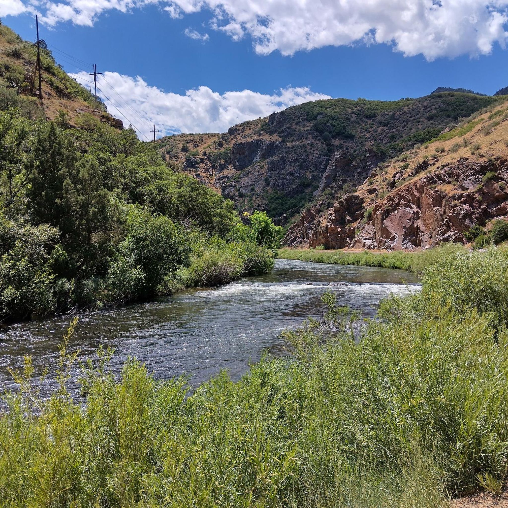
The Cherry Creek Regional Trail is a part of the Colorado Front Range Trail and runs along Cherry Creek, connecting Cherry Creek State Park in the north to Castlewood Canyon State Park in the south. It links parks and offers scenic views of cottonwoods, willows, and grasslands.
0
0
McCabe Meadows, located in Parker, Colorado, is a park and arboretum that borders Salisbury Equestrian Park. It boasts several nature paths, with the paved Cherry Creek Trail running through the center of the property.
0
0

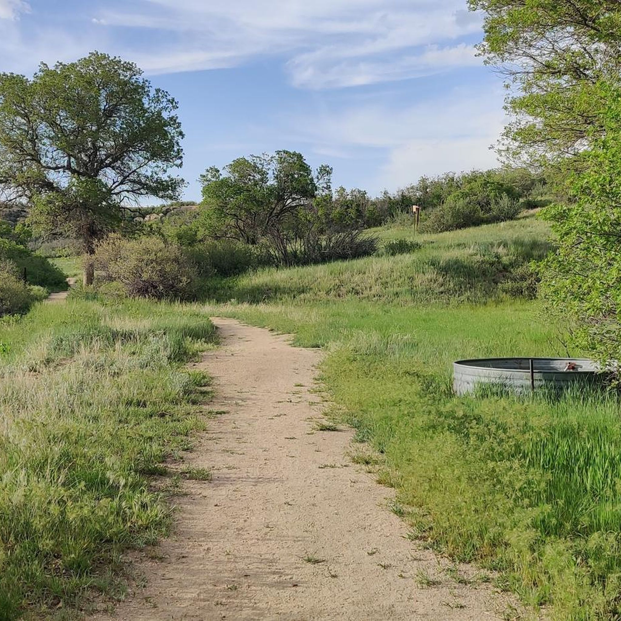
The East Big Dry Natural Area is a local favorite, renowned for its popularity as a spot for dog walking, hiking, biking and birdwatching. The area has a network of well maintained trails, making it a preferred destination throughout most of the year.
0
0

At 6,610 feet, Wildcat Point serves as a great overlook of the city and surrounding foothills. You can easily access this overlook from Daniels Park.
0
0
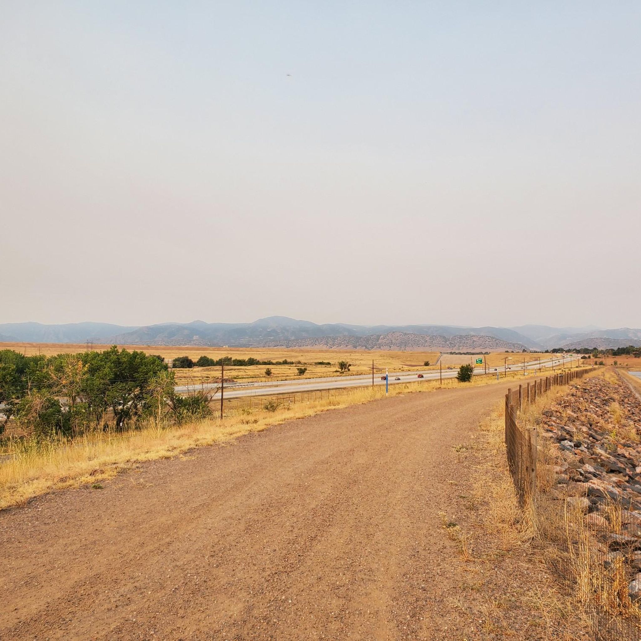
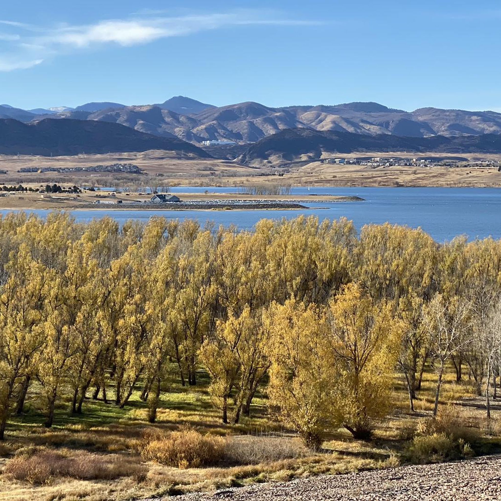
Chatfield State Park is a 5,300-acre park featuring a 1,400-acre reservoir. There are a bunch of different trails, ponds, and natural areas, and the majority of the main roads are paved and well-kept.
0
0
The climb up South Deer Creek Canyon Road can get rough near the top, but you actually get a short downhill break at the very northern end. The views back towards town are great and there are plenty of pull-offs along the side of the road, so if you need to take a break, you'll have plenty of chances.
0
0
At 6,610 feet, Wildcat Point serves as a great overlook of the city and surrounding foothills. You can easily access this overlook from Daniels Park.
0
0
Frequently Asked Questions
How many road cycling routes are available in Highlands Ranch?
Highlands Ranch offers a wide selection of road cycling routes, with over 20 tours available on komoot. These routes cater to various skill levels, from easy rides to more challenging long-distance loops.
Are there easy road cycling routes suitable for beginners or families in Highlands Ranch?
Yes, Highlands Ranch has several easy road cycling routes perfect for beginners or families. The area's extensive trail system includes many bike-friendly paths. An excellent option is the Wildcat Point via Monarch Boulevard & Buffalo Trail, which is rated as easy and offers scenic views from Wildcat Point Overlook.
What are some challenging road cycling routes with significant elevation gain in the area?
For experienced cyclists seeking a challenge, Highlands Ranch offers routes with significant elevation gains. The South Deer Creek Canyon Road, Conifer, & Pleasant Park Road loop is a difficult route covering over 85 km with more than 1300 meters of elevation gain, providing a demanding ride through varied terrain.
What kind of scenic views can I expect on road cycling routes in Highlands Ranch?
Road cycling routes in Highlands Ranch are renowned for their panoramic views. You can expect breathtaking vistas of the Front Range and the majestic Rocky Mountains. Many trails, like those around Wildcat Point Overlook or Daniels Park, offer stunning backdrops for your ride.
Are there any road cycling routes that are loop trails?
Yes, many road cycling routes in Highlands Ranch are designed as loops, allowing you to start and end at the same point. Popular loop options include the Chatfield Reservoir and High Line Canal Loop and the C-470 and Cherry Creek Trail Loop, offering varied terrain and scenic experiences.
What natural attractions or landmarks can I see along the road cycling routes?
Many road cycling routes in Highlands Ranch pass by or connect to notable natural attractions. You can cycle near Chatfield Reservoir, explore paths near the Marjorie Perry Nature Preserve, or follow the Mary Carter Greenway Trail which runs along the South Platte River. Daniels Park, known for its bison herd and mountain views, is also nearby.
What is the best time of year for road cycling in Highlands Ranch?
Highlands Ranch enjoys a semi-arid climate with around 246 days of sunshine per year, making it suitable for year-round outdoor pursuits. Spring, summer, and fall generally offer the most pleasant temperatures for road cycling, though winter cycling is possible on clear days, especially on well-maintained paved trails.
Are there long-distance road cycling routes available near Highlands Ranch?
Yes, Highlands Ranch serves as a great starting point for longer road cycling adventures. Routes like the South Deer Creek Canyon Road, Conifer, & Pleasant Park Road loop extend over 85 kilometers, offering a substantial ride for those looking for distance.
Are there road cycling trails with convenient parking options in Highlands Ranch?
Many road cycling trails in Highlands Ranch offer convenient parking. The extensive trail system often has access points near parks or public areas where parking is available. For specific routes, checking the individual tour details on komoot will provide information on starting points and potential parking locations.
What do other road cyclists enjoy most about road cycling in Highlands Ranch?
The road cycling experience in Highlands Ranch is highly rated by the komoot community, with an average score of 5.0 stars. Reviewers often praise the extensive paved bikeways, the panoramic views of the Front Range, and the diverse terrain that offers options for all skill levels, from easy rides to challenging loops.
Can I find road cycling routes that connect to other regional trails?
Absolutely. Highlands Ranch's trail network is well-integrated, connecting to various regional trails. The C-470 Bikeway, for instance, links to destinations like Chatfield Lake, and the Mary Carter Greenway Trail serves as a popular commuter route connecting to other city trails, allowing for extended rides.
Are there any road cycling routes that pass by lakes or reservoirs?
Yes, several road cycling routes in Highlands Ranch offer scenic views of lakes and reservoirs. The Chatfield Reservoir and High Line Canal Loop is a prime example, providing varied terrain and beautiful views as it connects to Chatfield Reservoir.
What is the typical difficulty level of road cycling routes in Highlands Ranch?
The road cycling routes in Highlands Ranch offer a range of difficulty levels. You can find easy routes, such as the Wildcat Point via Monarch Boulevard & Buffalo Trail, moderate loops like the C-470 and Cherry Creek Trail Loop, and difficult, long-distance rides with significant elevation gains.
Most popular routes around Highlands Ranch
Most popular attractions around Highlands Ranch

Get inspired with the komoot mobile app


Explore more
Browse the best Road cycling routes in other regions.
