The best road cycling routes around Gunbarrel
4.7
(131)
10,367
riders
21
rides
Road cycling routes around Gunbarrel, Colorado, are characterized by varied terrain and views of the Flatirons and Indian Peaks. The region features extensive open spaces and prairie grasslands, offering a blend of natural beauty and accessible cycling. Gunbarrel includes generally flat lands with some rolling terrain, and an elevated ridge known as Gunbarrel Hill. Many routes connect to Boulder's bike path system, providing both paved and gravel options for cyclists.
Best road cycling routes around Gunbarrel
- The most popular road…
Last updated: July 6, 2026
5.0
(1)
79
riders
Moderate road ride. Good fitness required. Mostly well-paved surfaces and easy to ride.
52
riders
38.0km
02:06
570m
570m
Moderate road ride. Good fitness required. Mostly well-paved surfaces and easy to ride.

Sign up for free
5.0
(1)
38
riders
104km
05:52
1,780m
1,780m
Hard road ride. Very good fitness required. Some segments of this route may be unpaved and difficult to ride.
51
riders
48.0km
02:46
830m
830m
Moderate road ride. Good fitness required. Some segments of this route may be unpaved and difficult to ride.
16
riders
23.8km
01:01
170m
170m
Easy road ride. Great for any fitness level. Mostly well-paved surfaces and easy to ride.
Get access to more routes and recommendations from other explorers.
Sign up for free
Already have an account?
Our route recommendations are based on thousands of hikes, rides, and runs completed by other people on komoot.
Start today with a free account
Your next adventure awaits.
Login or Signup
Tips from the Community

Steep. Bring your gears. Wonderful views. Ride it early during the week
0
0

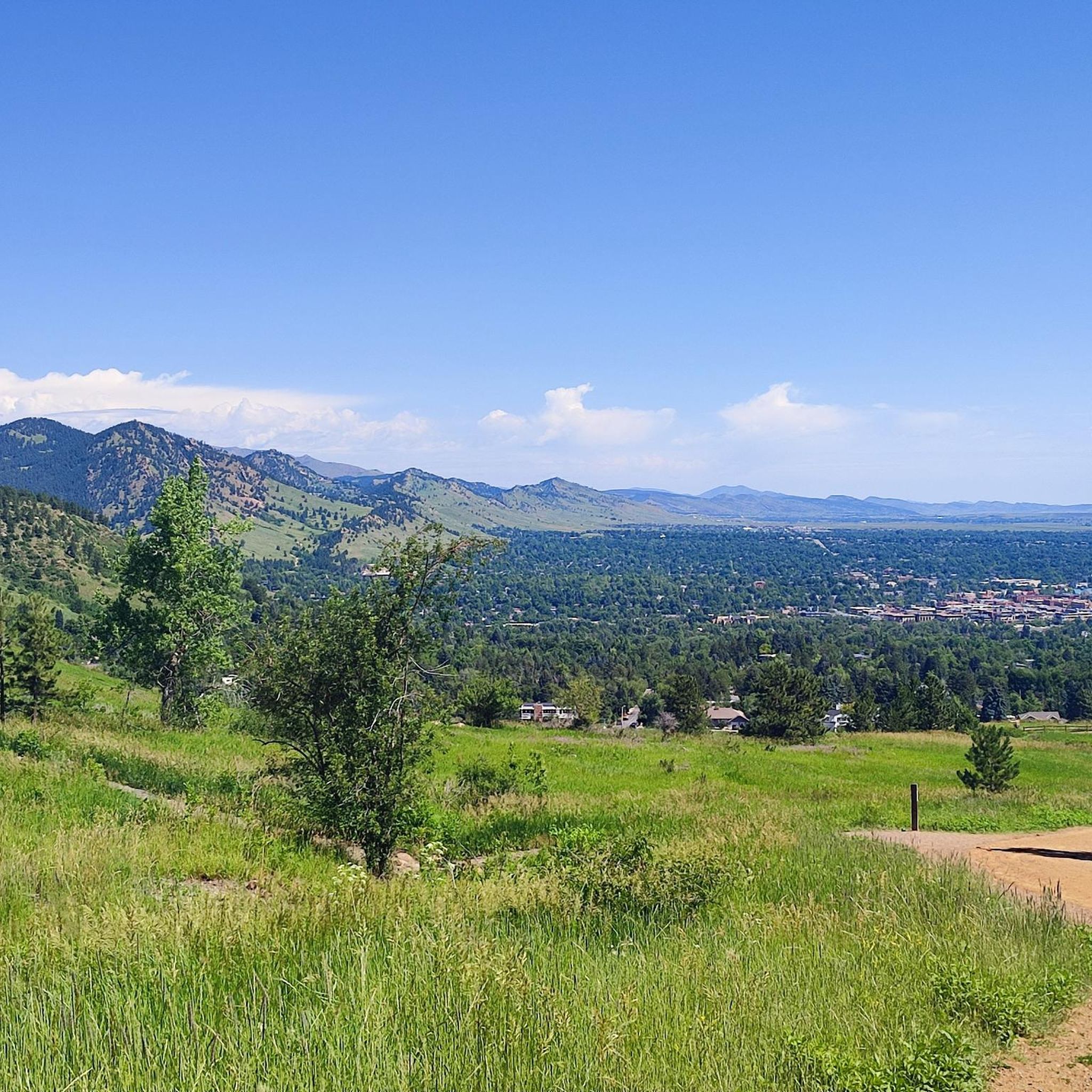
Panorama Point on Flagstaff Mountain in Boulder, CO, offers stunning, panoramic views of the city, whether it's day or night, all year round. You can drive up to the overlook, making it accessible to families and dogs. Parking is limited, however, and the vehicle length limit on Flagstaff Road is 30 feet because it is narrow and twisty. Several trails start and/or pass by here including Flagstaff Trail and the Viewpoint Trail, the latter of which climbs from Boulder Canyon and Eben G. Fine Park near downtown. Panorama Point has three picnic tables, but no restrooms.
0
0

This mural is barely visible from the road. It's audience is cyclists and pedestrians using the bikeway underpass.
0
0

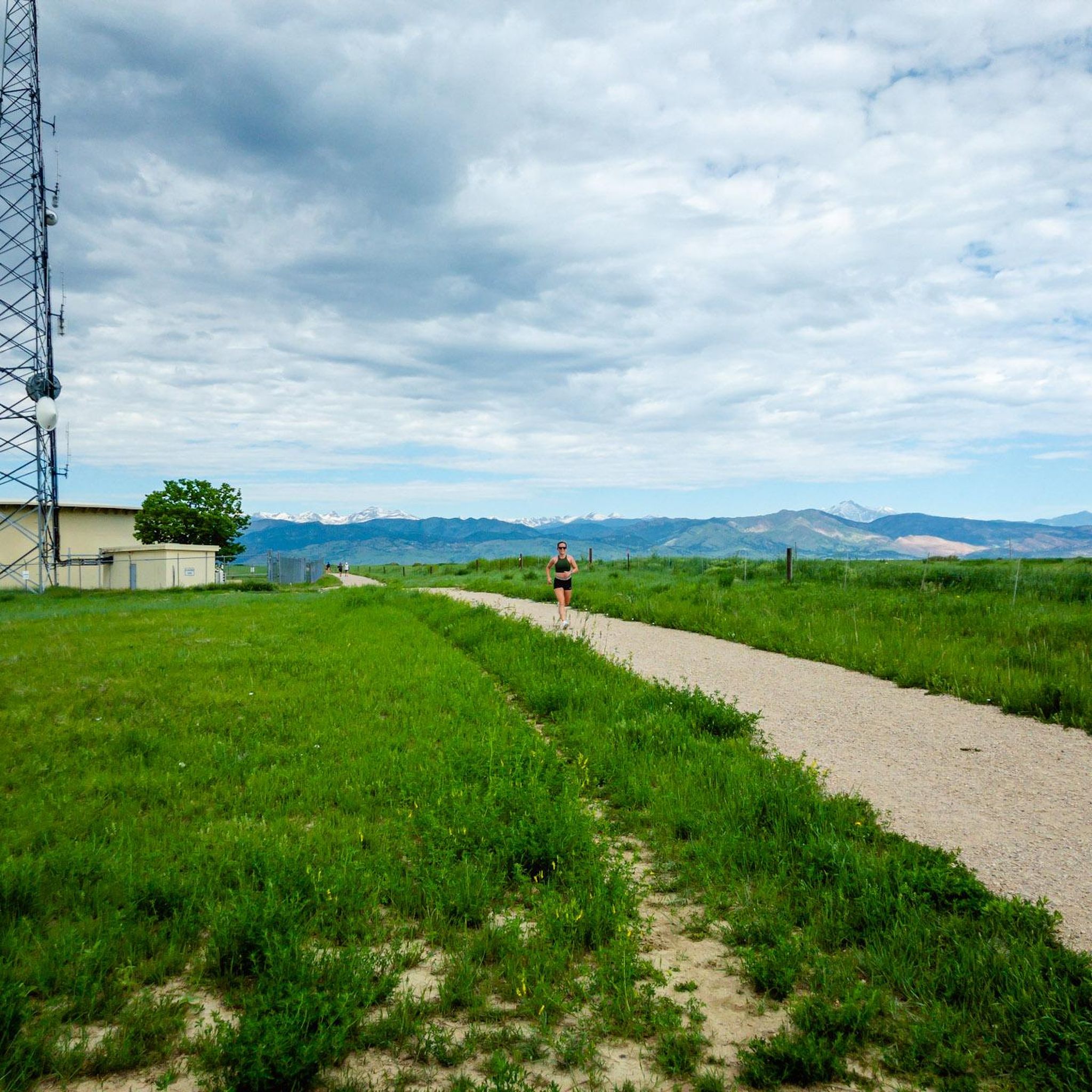
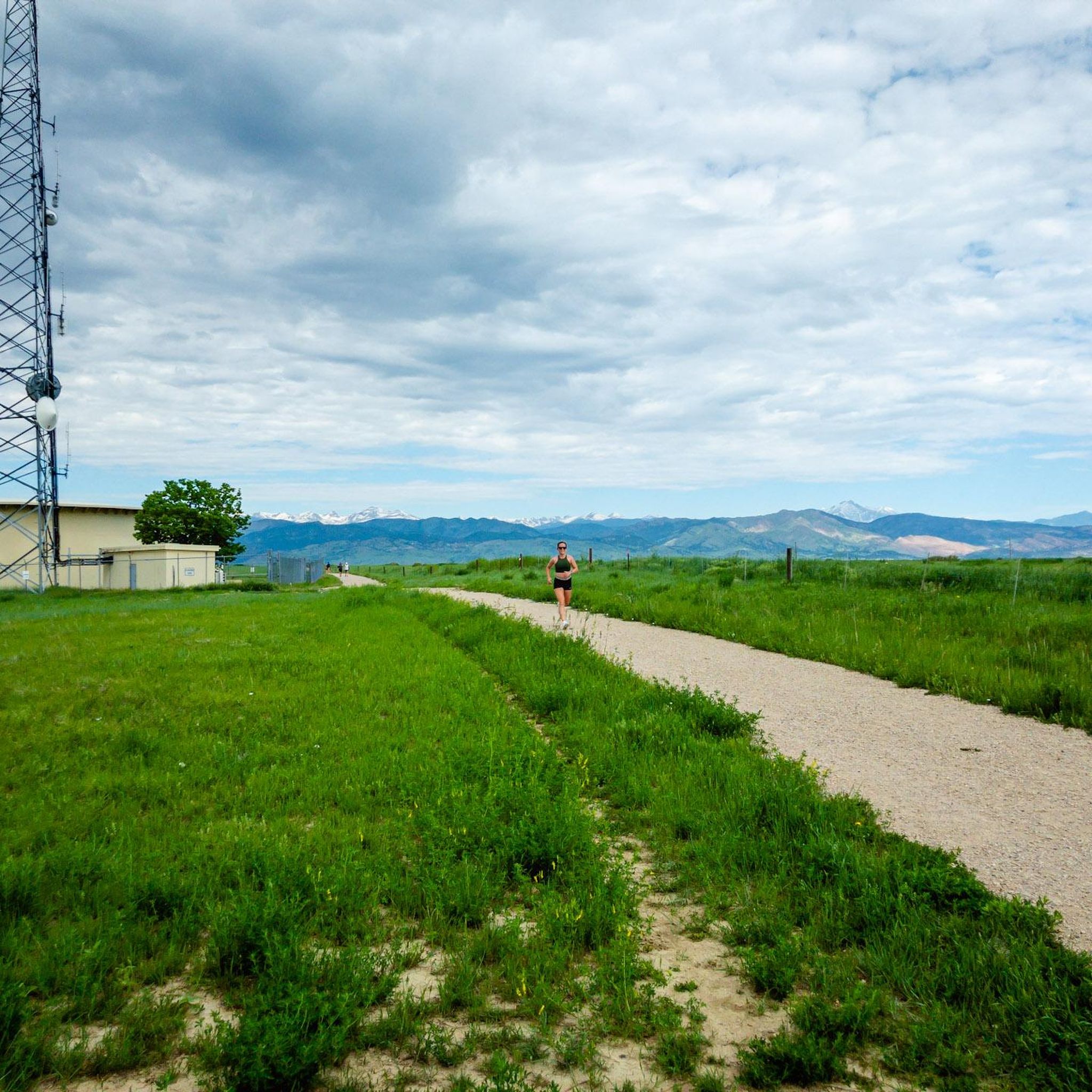
The crushed gravel LoBo Trail follows the ditch through town. LoBo stands for Longmount-Boulder (the route the bike path takes).
0
0
The Boulder Creek Path is a popular multi-use path that connects to many other bike trails and major roads in Boulder, allowing users to traverse across Boulder and largely avoid cars. This section of the Boulder Creek Path runs from 28th Street to Foothills Parkway next to a creek.
1
0
Lee Hill Drive is a popular, challenging climb that connects the intersection of Lee Hill with Olde Stage just outside of North Boulder, and Lefthand Canyon. The backside of Lee Hill (the Lefthand Canyon side) is a little nicer for climbing because there is less traffic than on the the Boulder side where there is no shoulder on a series of initial switchbacks. Regardless of which way you go up Lee Hill, coming down the 1,400 foot climb is a real treat after the challenging journey up!
0
0
Just as you enter the tunnel, which crosses under the busy Lookout Road, there is a vibrant mural of wolves and the Flatirons.
1
0
Frequently Asked Questions
How many road cycling routes are available around Gunbarrel?
There are 17 dedicated road cycling routes around Gunbarrel listed on komoot, offering a variety of experiences. The broader area, including connections to Boulder, features an extensive network of over 126 cycle routes.
What kind of terrain and views can I expect on road cycling routes in Gunbarrel?
Road cycling routes in Gunbarrel offer diverse terrain, from prairie grasslands and open spaces to sections with significant elevation gain. You'll be treated to stunning views of the iconic Flatirons and the majestic Indian Peaks. Many routes also feature a mix of paved surfaces and appealing crushed gravel sections, like the Cottonwood Trail, which runs alongside a creek and open fields.
Are there challenging road cycling routes for experienced riders in Gunbarrel?
Yes, Gunbarrel offers challenging routes for experienced road cyclists. For instance, the Flagstaff Road Scenic Drive – Rapha Boulder Clubhouse loop from Gunbarrel is a difficult route covering over 41 miles with significant elevation gain, providing a demanding ride and continuous scenic views.
Are there any easy or family-friendly road cycling routes in Gunbarrel?
Yes, Gunbarrel has several easy routes suitable for a more relaxed pace or family rides. There are 4 easy routes available. The Boulder Reservoir area, known as "The Res," offers additional biking opportunities that are particularly good for family rides or those looking for a warm-up or cool-down.
What are some notable landmarks or viewpoints I can see along the road cycling routes?
While cycling around Gunbarrel, you can enjoy views of several prominent landmarks. The Davidson Mesa Overlook provides panoramic vistas of the Flatirons and Boulder. You might also catch glimpses of Green Mountain Peak and Gunbarrel Hill Viewpoint, which showcases restored prairie landscapes.
How do Gunbarrel's road cycling routes connect to Boulder's bike path system?
Gunbarrel is well-connected to Boulder's extensive bike path system. Routes like the LOBO trail and Cottonwood trail help link Gunbarrel residents to downtown Boulder, often allowing cyclists to avoid major roads. This connectivity provides access to hundreds of miles of bikeways throughout the region.
Are there any circular road cycling routes in Gunbarrel?
Many of the road cycling routes around Gunbarrel are designed as loops, allowing you to start and end in the same location. Examples include the Lee Hill Drive Climb – Foothills Views loop from Gunbarrel and the Valmont Bike Park – Cottonwood Trail loop from Gunbarrel.
What do other road cyclists say about the routes in Gunbarrel?
The road cycling routes in Gunbarrel are highly rated by the komoot community, with an average score of 4.9 stars from more than 5 reviews. Cyclists often praise the varied terrain, the stunning views of the Flatirons and Indian Peaks, and the excellent connectivity to Boulder's bike path system.
Are there amenities for cyclists in the Gunbarrel area?
Yes, Gunbarrel shows its dedication to cycling with features like public bike repair stations, such as the one found at Davidson Mesa Overlook. Additionally, after a ride, you can find local breweries in Gunbarrel for relaxation and refreshment.
What is the best time of year for road cycling in Gunbarrel?
While specific seasonal considerations are not detailed, the region's natural beauty and extensive trail network suggest that spring, summer, and fall generally offer favorable conditions for road cycling. Always check local weather forecasts before heading out.
Where can I find parking for road cycling routes in Gunbarrel?
While specific parking locations for each route are not detailed, the area is generally accessible. Many trailheads and open spaces in and around Gunbarrel, such as Davidson Mesa Overlook and areas near the Boulder Reservoir, typically offer parking facilities for outdoor enthusiasts.
Are there any routes that combine paved and gravel sections?
Yes, some routes in Gunbarrel offer a mix of paved and gravel surfaces. The Cottonwood Trail, for example, features a scenic crushed gravel path alongside a creek and open fields, providing an alternative to busy roads. The Lagerman Agricultural Preserve also includes well-graded crushed gravel and dirt roads.
Most popular routes around Gunbarrel
Most popular attractions around Gunbarrel

Get inspired with the komoot mobile app


Explore more
Browse the best Road cycling routes in other regions.
