The best running trails around Downieville-Lawson-Dumont
23
runners
11
runs
If you've ever tried to plan jogging around Downieville-Lawson-Dumont, you know how overwhelming the options can be. With so many trails crisscrossing this stunning Colorado region, it's tough to tell which routes are genuinely worth your time and effort, and which are just filler. That's where komoot comes in. Our community has explored, mapped, and reviewed these routes, saving you the guesswork and pointing you straight to the trails worth your legs.
Jogging here means embracing high-altitude mountain terrain, dense…
Last updated: May 31, 2026
6
runners
13.1km
02:25
870m
870m
If you're seeking a high-alpine adventure with truly expansive views, the James Peak via St. Mary's Glacier trail delivers a challenging experience. This difficult route takes you from a rocky…
5
runners
10.8km
01:27
290m
290m
The Silver Creek Trail near Georgetown offers an easy, scenic jogging route with constant, sweeping views of the surrounding wilderness. As you traverse a ridge on Saxon Mountain, you'll encounter…

Sign up for free
4
runners
4.19km
00:26
40m
40m
The Clear Creek Greenway Trail offers a delightful escape along the creek, primarily on smooth, paved surfaces. You'll find yourself immersed in forested areas with picturesque views, and you might…
3
runners
7.80km
01:05
270m
270m
The Loch Lomond Trail in Colorado offers a diverse and engaging jogging experience, winding through dense forests before opening up to tussock-covered alpine terrain. You'll follow a mountain stream, pass…
2
runners
3.27km
00:34
200m
200m
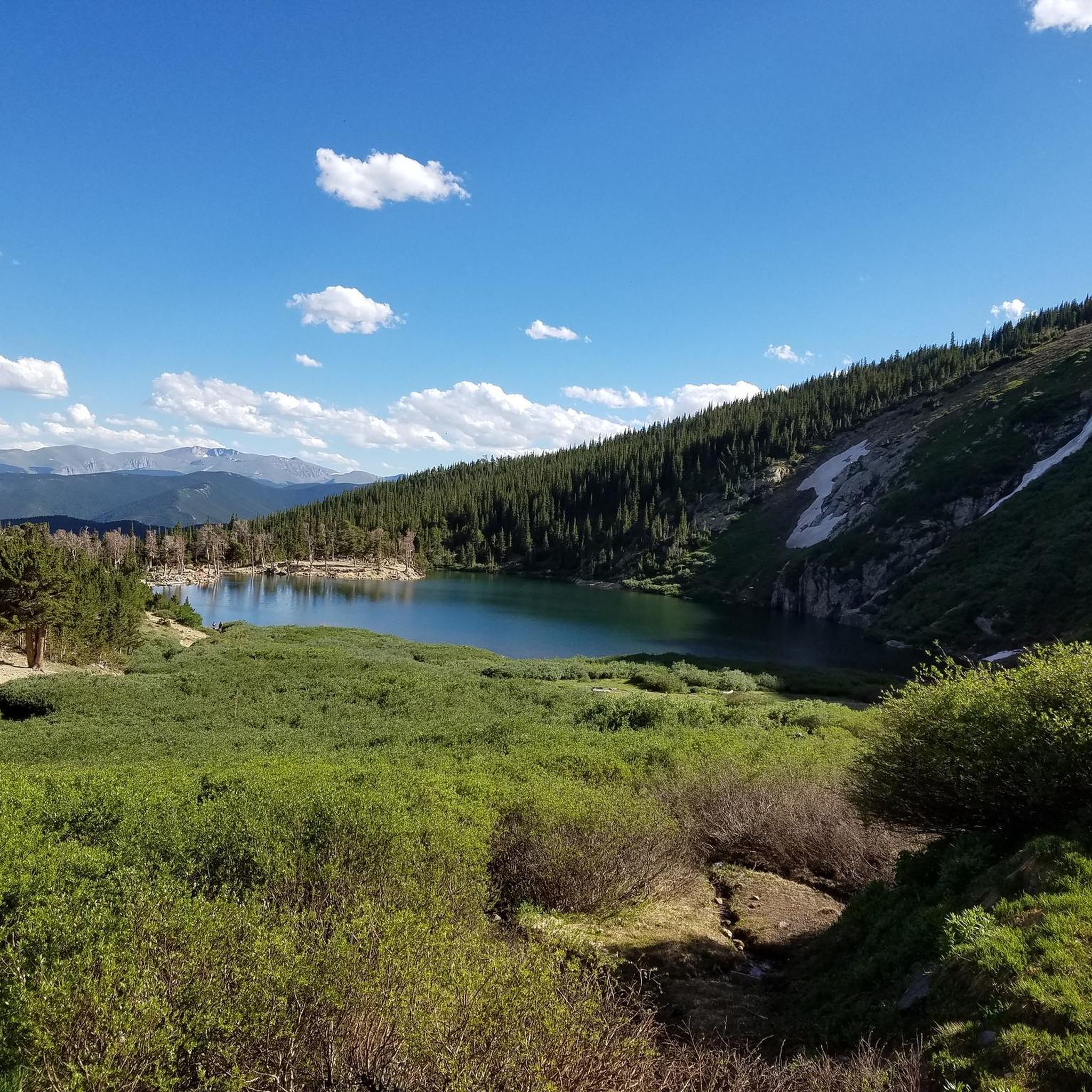
The St. Mary's Glacier Trail offers a unique alpine experience, quickly ascending through pine and aspen forests to the scenic St. Mary's Lake. Beyond the lake, the path steepens considerably,…
Get access to more routes and recommendations from other explorers.
Sign up for free
Already have an account?
Our route recommendations are based on thousands of hikes, rides, and runs completed by other people on komoot.
Start today with a free account
Your next adventure awaits.
Login or Signup

Tips from the Community

The trail keeps going from here all the way to Lawson. Because it was built for wagons, the trail grade is flat as it skirts the mountains. If you are looking for a flat trail run that gets you into the wilderness, this is a great pick. You have to contend with noise from I-70, but thus is the tradeoff of flat running in the mountains.
0
0
This trail is an old wagon route between Georgetown and Lawson commissioned in 1887. There are lots of abandoned mines to look out for. You can hop on from either end of the trail or from parking at Alvarado Road.
0
0

Tom Bennoff Lake Trail circles around the entirety of Georgetown Lake. You can fish, boat, picnic, and ice skate on the lake (ice skating is of course only during the winter). The lake is easily visible from the interstate, but the trail travels through a treed area on the other side of the water.
0
0
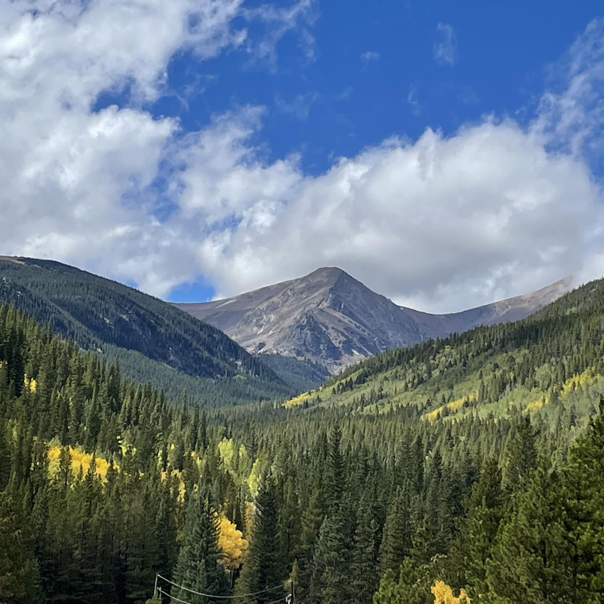
James Peak is a 13,294-foot summit in the James Peak Wilderness. The Ute Trail and James Peak trail carry you to the ridge, which is steep at times but never calls for more than class 1 travel. There are numerous other 12,000 and 13,000 foot peaks in this area of the wilderness, and there is a multitude of alpine lakes in the surrounding basins.
0
0
There is roadside parking here along Steuart Road, a gravel trail that leads up to Loch Lomond. You can drive to the top and park right along the lake, or park down here and run up the gravel road. In the winter when the upper lot is closed, this is where you start the trail.
0
0
There is a large gravel lot here right on the shore of Loch Lomond which provides access to the the trails around the numerous alpine lakes in the area. You can also access James Peak via a connector from the Upper Lakes trail. If your vehicle can't make it up the gravel road you can always park at the bottom and run up.
0
0
Loch Lomond is a mountain lake in the high forests of Colorado. There are actually several lakes in the area, and they are all interconnected, with Loch Lomond being the lowest and the largest. The area is open to cars, bikers, and hikers so you can plan for crowds during the warmer months.
0
0
This is the best spot to park if you are planning to run around Georgetown Lake, the Purdy Trail, or up Saxon Mountain. There are restrooms here and plenty of parking. You get fantastic views of the mountains across the lake as you cross into town.
0
0
Frequently Asked Questions
How many running routes are available in the Downieville-Lawson-Dumont area?
There are over 10 dedicated running routes around Downieville-Lawson-Dumont, catering to various skill levels. These include 3 easy routes, 3 moderate routes, and 5 challenging routes, offering a diverse range of experiences for runners.
What types of terrain can I expect on the jogging trails in Downieville-Lawson-Dumont?
The jogging trails in Downieville-Lawson-Dumont offer a rich variety of terrain. You'll find everything from gentle riverside paths along the North Fork of the Yuba River to more challenging mountain ascents with roots and rocks. Many routes traverse the majestic Sierra Nevada Mountains, providing stunning views and diverse natural features.
Are there any easy, family-friendly running routes in Downieville-Lawson-Dumont?
Yes, for an easy and family-friendly running experience, consider the Clear Creek Greenway Trail. This route is 4.2 km long with minimal elevation gain, following a gentle path alongside Clear Creek, making it perfect for a relaxed jog.
Which running routes offer scenic views of lakes or mountains?
Many routes provide breathtaking scenery. The James Peak via St. Mary's Glacier route leads through mountainous terrain and past Saint Mary's Lake. The Loch Lomond Trail also offers beautiful lake views. Additionally, the Empire Creek Trail (mentioned in regional research) provides stunning vistas of the Sierra Buttes and Chimney Rock.
Are there any challenging running trails for experienced runners?
Absolutely. For experienced runners seeking a challenge, the James Peak via St. Mary's Glacier is a difficult 13 km route with significant elevation changes (over 860m up and down). Another demanding option is the St. Mary's Glacier Trail, which is shorter but still features over 200m of ascent.
What is the best time of year for jogging in Downieville-Lawson-Dumont?
The cooler temperatures of spring and fall are particularly inviting for jogging in Downieville-Lawson-Dumont. Spring brings fresh greenery, while fall offers the added beauty of vibrant foliage. While summer is also popular, be prepared for warmer conditions, especially at lower elevations. Winter activities like snowshoeing and cross-country skiing are popular, but many trails may be snow-covered.
Can I find running routes that follow rivers or creeks?
Yes, the region is defined by its waterways. The Clear Creek Greenway Trail follows Clear Creek. The North Fork of the Yuba River is a central feature, with trails like the North Yuba Trail (mentioned in regional research) offering a true river experience, complete with numerous creek crossings and views of its crystal-clear emerald waters.
Are there any moderate-difficulty running trails in the area?
Yes, for a moderate challenge, consider the Silver Creek Trail. This 10.8 km route features varied terrain with views of the surrounding forest and hills, offering a good balance of distance and elevation. Another moderate option is the Loch Lomond Trail, which is 7.8 km long.
What are some notable landmarks or attractions near the running routes?
Beyond the stunning natural landscapes, you can find several interesting landmarks. The Saint Mary's Lake and Loch Lomond are beautiful alpine lakes. The historic town of Downieville itself offers a charming gold rush atmosphere. You might also encounter the iconic Sierra Buttes and Chimney Rock, which provide dramatic backdrops to many trails.
What do other runners say about jogging in Downieville-Lawson-Dumont?
The running routes in Downieville-Lawson-Dumont are appreciated by the komoot community, with over 20 runners having explored the varied terrain. Users often highlight the diverse landscapes, from river valleys to alpine lake views, and the range of options available for different ability levels.
Are there any long-distance running options, perhaps sections of famous trails?
Yes, sections of the world-renowned Pacific Crest Trail are accessible from the Downieville area. These sections provide excellent opportunities for challenging and scenic long-distance jogs, allowing you to experience a part of this iconic trail.
Can I combine my run with other outdoor activities in the region?
Absolutely! Downieville-Lawson-Dumont is an outdoor enthusiast's paradise. After a run, you can enjoy swimming in the clear waters of the North Fork of the Yuba River or one of the many alpine lakes. Other popular activities include mountain biking, camping, fishing, white-water rafting, and paddleboarding, making it easy to extend your adventure.
Most popular attractions around Downieville-Lawson-Dumont

Get inspired with the komoot mobile app


Explore more
Browse the best Running Trails & Routes in other regions.
