
The best walks and hikes around Castle Pines Village
4.4
(22)
606
hikers
49
hikes
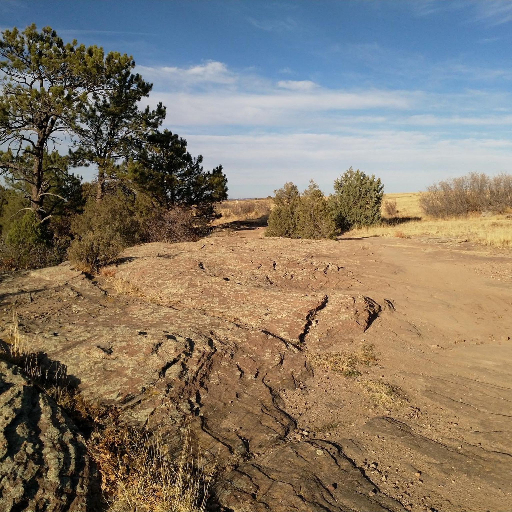
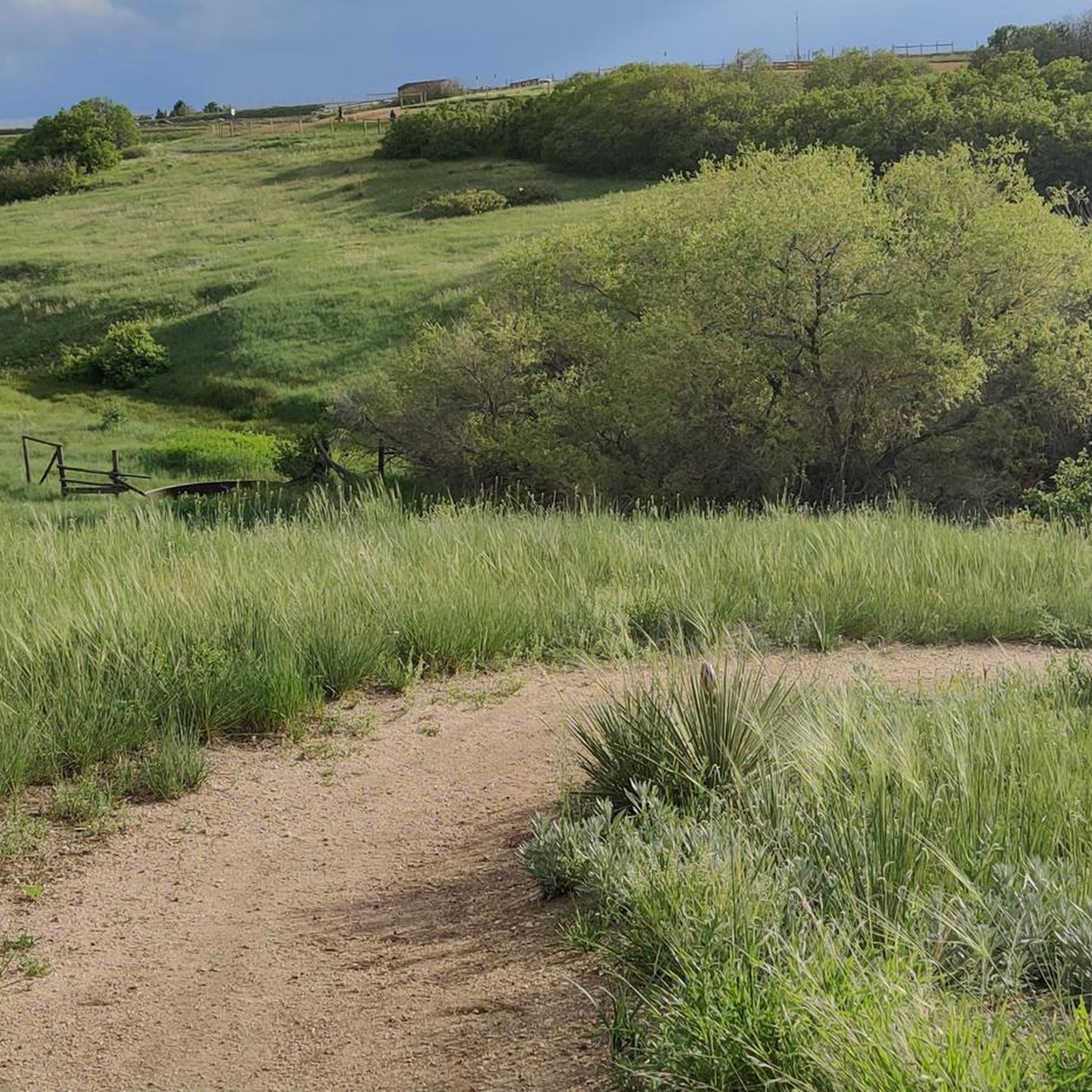
Hiking around Castle Pines Village offers diverse terrain in the Rocky Mountain foothills, providing expansive views of the Colorado Front Range. The region features red rock formations, lush meadows, and areas of scrub oak and towering ponderosa pines. Hikers can explore rolling pastures with creeks and ponds, alongside distinctive stands of Gambel Oak. The environment supports varied wildlife and includes elevations over 6,300 feet in some areas.
Best hiking trails around Castle Pines Village
- The most popular hiking route is Native Legend Loop Trail, an easy 3.4 miles (5.4 km) trail that takes 1 hour 25 minutes to complete. This route explores varied terrain within the local trail system.
- Another top favourite among local hikers is East/West Regional Trail, an easy 1.6 miles (2.6 km) path. This trail traverses riparian areas and grasslands.
- Local hikers also love the Glendale Farm Trail, a 0.6 miles (0.9 km) trail leading through peaceful meadows, often completed in about 15 minutes.
- Hiking around Castle Pines Village is defined by Rocky Mountain foothills, red rock formations, and lush meadows. The network offers options for different ability levels, from easy walks to moderate climbs.
- The routes in Castle Pines Village are highly rated by the komoot community with an average score of 4.2 stars from over 20 reviews. More than 500 hikers have used komoot to explore Castle Pines Village's varied terrain.
Last updated: June 28, 2026
3
hikers
5.40km
01:26
50m
60m
The Native Legend Loop Trail in Castle Rock, Colorado, offers a delightful and easy escape on a paved 3.4-mile (5.4 km) loop. You'll stroll through open grassland, enjoying scenic overlooks of the Rocky Mountains and spotting wildflowers and cacti, particularly in areas behind neighborhoods. With minimal elevation gain of 149 feet (45 metres) and a duration of about 1 hour and 25 minutes, it's a perfect route for a relaxed outing.
Planning your visit to the Native Legend Loop Trail is straightforward, as its paved surface makes it accessible for walkers, joggers, and cyclists. The trail connects to several local parks like Butterfield Park and Paintbrush Park, as well as the broader Ridgeline trail system, providing various entry points and options to extend your adventure. As an open trail, it's best enjoyed during the pleasant temperatures of spring and fall, or early mornings in summer.
What truly sets this trail apart are its unique educational elements, including an outdoor classroom and five stone monuments created with the Denver Museum of Nature and Science, offering glimpses into the area's prehistoric past. Beyond its natural beauty and educational features, the trail's connectivity makes it a central hub for exploring Castle Rock's outdoor spaces, suitable for families and those seeking a gentle, engaging walk.
2
hikers
2.59km
00:42
20m
70m
Embark on an easy hike along the East/West Regional Trail, a route that guides you through a pleasant mix of open grasslands and scenic oak bluffs. This short outing covers 1.6 miles (2.6 km) with a gentle elevation gain of just 58 feet (18 metres), making it perfect for a quick escape into nature. You can expect to complete the trail in about 42 minutes, enjoying expansive views of the surrounding open space and the distant Denver metropolitan area. As you hike, keep an eye out for Highlands Point, a key landmark just off the main path, offering impressive 360-degree panoramas of the Front Range, including iconic peaks like Pikes Peak and Mt. Evans.
Planning your visit to the East/West Regional Trail is straightforward, as you'll find multiple access points along the route. These points offer convenient parking, making it easy to start your adventure. Restrooms are also available at various parks and trailheads, particularly if you begin your hike on the western section of the trail. This accessibility ensures a comfortable experience for all hikers.
The East/West Regional Trail stands out for its unique blend of natural beauty and urban vistas, providing a distinct perspective of the Douglas County landscape. It connects you with the expansive open space, offering a chance to observe the local ecosystem. The trail serves as an excellent introduction to the region's diverse terrain, from its rolling grasslands to its distinctive oak bluffs.

Sign up for free
2.27km
00:38
50m
40m
This easy 1.4-mile hike in Douglas County offers 166 feet of elevation gain and takes about 38 minutes to complete.
745m
00:12
10m
10m
The Metzler Family Open Space Green Loop offers a delightful, easy hike through varied terrain, perfect for a quick nature fix. You'll wander along native-surface and unpaved dirt paths, enjoying sweeping views of the majestic Rockies, Pikes Peak, and the iconic Castle Rock formation. The trail winds through ponderosa forest, scrub oak ridges, and open meadows, providing a peaceful escape where you might spot wild turkeys and beautiful wildflowers.
This family-friendly route is open year-round for hikers and dog walkers, with dogs permitted on leash. There's ample parking available, and the well-marked trails make for easy navigation. It’s a great choice for a spontaneous outing or for those looking for a gentle introduction to single-track trails.
At just 0.5 miles (0.7 km) with a minimal 33 feet (10 metres) of elevation gain, this loop takes only about 12 minutes to complete, making it an ideal option for all ages and fitness levels. The Metzler Family Open Space itself holds historical significance as an original homestead, adding a layer of local charm to your visit.
900m
00:15
20m
20m
Hike the easy 0.6-mile Glendale Farm Trail in Glendale Farm Open Space, offering prairie views and a dog-friendly experience.
Get access to more routes and recommendations from other explorers.
Sign up for free
Already have an account?
Our route recommendations are based on thousands of hikes, rides, and runs completed by other people on komoot.
Start today with a free account
Your next adventure awaits.
Login or Signup



Frequently Asked Questions
How many hiking trails are available around Castle Pines Village?
Castle Pines Village and its surrounding areas offer a wide network of trails. Our guide features 35 distinct hiking routes, ranging from easy walks to moderate climbs, ensuring options for various skill levels.
What types of landscapes can I expect to see while hiking in Castle Pines Village?
Hikers in Castle Pines Village can enjoy diverse landscapes, including expansive views of the Rocky Mountain foothills and the Colorado Front Range. You'll encounter unique red rock formations, lush meadows, areas of scrub oak, and rolling pastures with creeks and ponds. Stands of Gambel Oak are also a common and beautiful feature of the local environment.
What do other hikers say about the trails in Castle Pines Village?
The hiking trails around Castle Pines Village are highly regarded by the komoot community, boasting an average rating of 4.35 stars from over 20 reviews. Hikers frequently praise the stunning Front Range views, the varied terrain, and the opportunities for wildlife spotting.
Are there easy hiking trails suitable for beginners or casual walkers?
Yes, Castle Pines Village offers plenty of easy trails perfect for beginners or those seeking a relaxed walk. Our guide includes 25 easy routes. A great option is the Glendale Farm Trail loop — Dawson Butte Ranch Open Space, which leads through peaceful meadows with views of castle-like buttes.
Can I find more challenging hikes in the area?
While most trails are easy to moderate, some routes offer a more strenuous experience. Our guide features 10 moderate routes. For example, the Philip S. Miller Park loop — Castle Rock is a moderate 6.2-mile trail that explores valleys, knolls, and high points, providing a good workout with rewarding views.
Are there any circular hiking routes in Castle Pines Village?
Yes, many trails in the area are designed as loops, offering varied scenery without retracing your steps. Popular circular routes include the Rock Park loop — Castle Rock, which features historic sandstone formations, and the Ridgeline Open Space loop — Castle Rock, known for its grassland trails and panoramic Front Range views.
Are the hiking trails in Castle Pines Village dog-friendly?
Many open spaces and trails around Castle Pines Village are dog-friendly, though leash laws typically apply. Areas like Ridgeline Open Space and Sandstone Ranch Open Space are popular choices for hiking with dogs. Always check specific park regulations before heading out.
Are there any family-friendly hiking options in the area?
Absolutely! Many trails are suitable for families. The Glendale Farm Trail loop is an excellent easy option. Additionally, the Daniels Park Trail is known for its gentle grades and opportunities to spot bison, making it a great choice for families.
What interesting landmarks or natural features can I explore near the trails?
Beyond the trails themselves, you can explore several notable landmarks. Visit Rock Park for its historic sandstone castle formations and caves. The Hidden Mesa Open Space offers unique slickrock and meadows, while the East/West Regional Trail and Cherry Creek Trail provide scenic routes through the landscape.
Are there trails with good viewpoints in Castle Pines Village?
Yes, many trails offer spectacular viewpoints of the Colorado Front Range, including Pikes Peak and Longs Peak. Philip S. Miller Park features the Challenge Hill, a 200-step staircase that climbs 178 feet to panoramic views. Ridgeline Open Space and Rock Park also provide excellent vistas of the surrounding mountains and unique geological formations.
Is there public transport access to hiking trails in Castle Pines Village?
Public transport options directly to trailheads in Castle Pines Village are limited. Most visitors typically access the trailheads by car. It's advisable to check local transit schedules for the nearest stops and plan accordingly if relying on public transportation.
Where can I find parking for the hiking trails?
Most major trailheads and open spaces, such as Philip S. Miller Park, Sandstone Ranch Open Space, and Ridgeline Open Space, offer dedicated parking lots. These are generally well-marked and provide convenient access to the trail networks. Parking availability can vary, especially on busy weekends, so arriving early is recommended.
Most popular attractions around Castle Pines Village

Get inspired with the komoot mobile app


Explore more
Browse the best Hikes in other regions.
