The best road cycling routes around Westminster
4.5
(13)
611
riders
25
rides
Road cycling routes around Westminster, Colorado, traverse a landscape characterized by extensive open spaces, prairie grasslands, and views of the Rocky Mountains. The area features a network of dedicated trails and bikeways, often following creek paths and connecting various natural areas. Elevations are generally moderate, with some routes offering gradual climbs and descents across the rolling terrain. This environment provides varied road cycling experiences, from long-distance loops to shorter, scenic rides.
Best road cycling routes around Westminster
- The most popular road cycling route is US 36 Bikeway and Boulder Loop, a 44.2 miles (71.1 km) trail that takes 3 hours 52 minutes to complete. This moderate route offers expansive views and connects Westminster with Boulder.
- Another top favourite among local road cyclists is Loop around Thornton, a moderate 41.2 miles (66.3 km) path. This route provides a circuit through the surrounding areas, featuring open landscapes and consistent riding surfaces.
- Local road cyclists also love the Davidson Mesa Overlook – Walnut Creek Open Space loop from Front Range Community College, a 31.8 miles (51.1 km) trail leading through open spaces and offering scenic overlooks, often completed in about 2 hours 50 minutes.
- Road cycling around Westminster is defined by extensive trail systems, open spaces, and creek paths. The network offers options for different ability levels, from easy rides to more challenging long-distance routes.
- The routes in Westminster are highly rated by the komoot community with an average score of 4.6 stars from nearly 20 reviews. More than 600 road cyclists have used komoot to explore Westminster's varied terrain.
Last updated: July 7, 2026
4.8
(5)
162
riders
71.1km
03:53
560m
560m
This moderate road cycling route combines the dedicated US 36 Bikeway with Boulder's extensive loop system, offering a diverse ride through urban and natural landscapes. You'll pedal past open spaces like Walnut Creek Open Space and enjoy panoramic views of the Flatirons from Davidson Mesa Overlook, experiencing both the tranquility of nature and the lively atmosphere of East Pearl Street. The 44.2-mile (71.1 km) journey, with 1833 feet (559 metres) of elevation gain, provides a comprehensive tour of the area's cycling highlights.
Plan for a ride of about 3 hours and 52 minutes, best enjoyed in the pleasant temperatures of spring or fall. The US 36 Bikeway section is well-equipped with rest stops, bike racks, and water fountains, ensuring a comfortable experience. While the route is accessible year-round, be mindful of potential traffic noise on sections running parallel to the highway.
Boulder is renowned for its cycling culture, boasting over 300 miles of bikeways and attracting cyclists of all levels. This route connects to other regional trails, allowing for extended adventures, and showcases why the city is consistently ranked as a top cycling destination. It's an excellent way to explore the region's natural beauty and urban charm on two wheels.
1
riders
66.3km
03:05
370m
370m
The Loop around Thornton offers a delightful road cycling experience, weaving through a varied landscape of urban parks, open prairies, and river corridors. You'll find yourself cruising past lakes, through neighborhoods, and enjoying distant views of the Rocky Mountain foothills, with notable spots like Walnut Creek Open Space and the South Platte River and lake viewpoint providing scenic breaks. The route is predominantly flat, making for a smooth ride on mostly paved multi-use paths, though some sections might feature crushed stone.
This moderate 41.2-mile (66.3 km) loop, with a gentle 1228 feet (374 metres) of elevation gain, typically takes around 3 hours and 5 minutes to complete. It's an excellent option for cyclists of varying fitness levels looking for a consistent and manageable ride. While specific parking isn't detailed, the extensive network suggests accessible entry points, and it's a great choice for warmer winter days when other trails might be icy.
Thornton boasts an impressive network of over 140 miles of trails, connecting to major regional pathways like the South Platte River Trail. This route is part of a highly-rated, community-focused cycling environment, offering a chance to see local wildlife, particularly along the river stretches. It's a fantastic way to explore the area's natural features and open spaces without encountering significant climbs.

Sign up for free
5.0
(4)
165
riders
Moderate road ride. Good fitness required. Mostly well-paved surfaces and easy to ride.
46
riders
44.6km
02:15
220m
220m
Moderate road ride. Good fitness required. Some segments of this route may be unpaved and difficult to ride.
5.0
(1)
27
riders
52.6km
02:40
240m
240m
Moderate road ride. Good fitness required. Some segments of this route may be unpaved and difficult to ride.
Get access to more routes and recommendations from other explorers.
Sign up for free
Already have an account?
Our route recommendations are based on thousands of hikes, rides, and runs completed by other people on komoot.
Start today with a free account
Your next adventure awaits.
Login or Signup

Tips from the Community

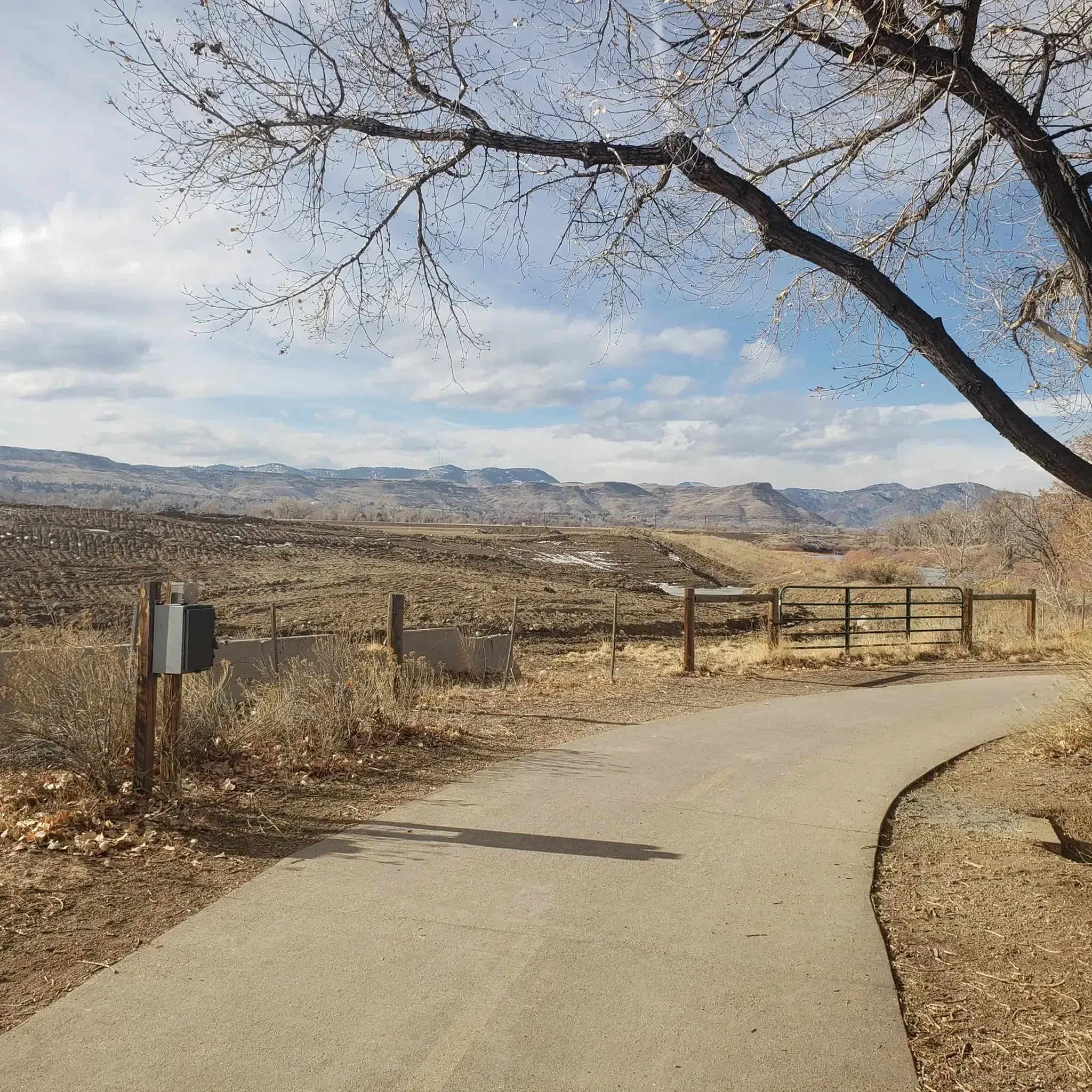
Great view of the South Platte River from the cycle trail. The trail is popular with walkers, runners, and cyclists, so if you want to stop to enjoy the view, make sure you pull off to the side.
0
0

Clear Creek, a vibrant waterway roughly 66 miles long, originates in the Rocky Mountains west of Denver, finally meeting with the South Platte River. The contrast in the water's color and flow is often noticeable, with Clear Creek's clear, fast-moving water meeting the South Platte's slower, sometimes more opaque flow.
0
0
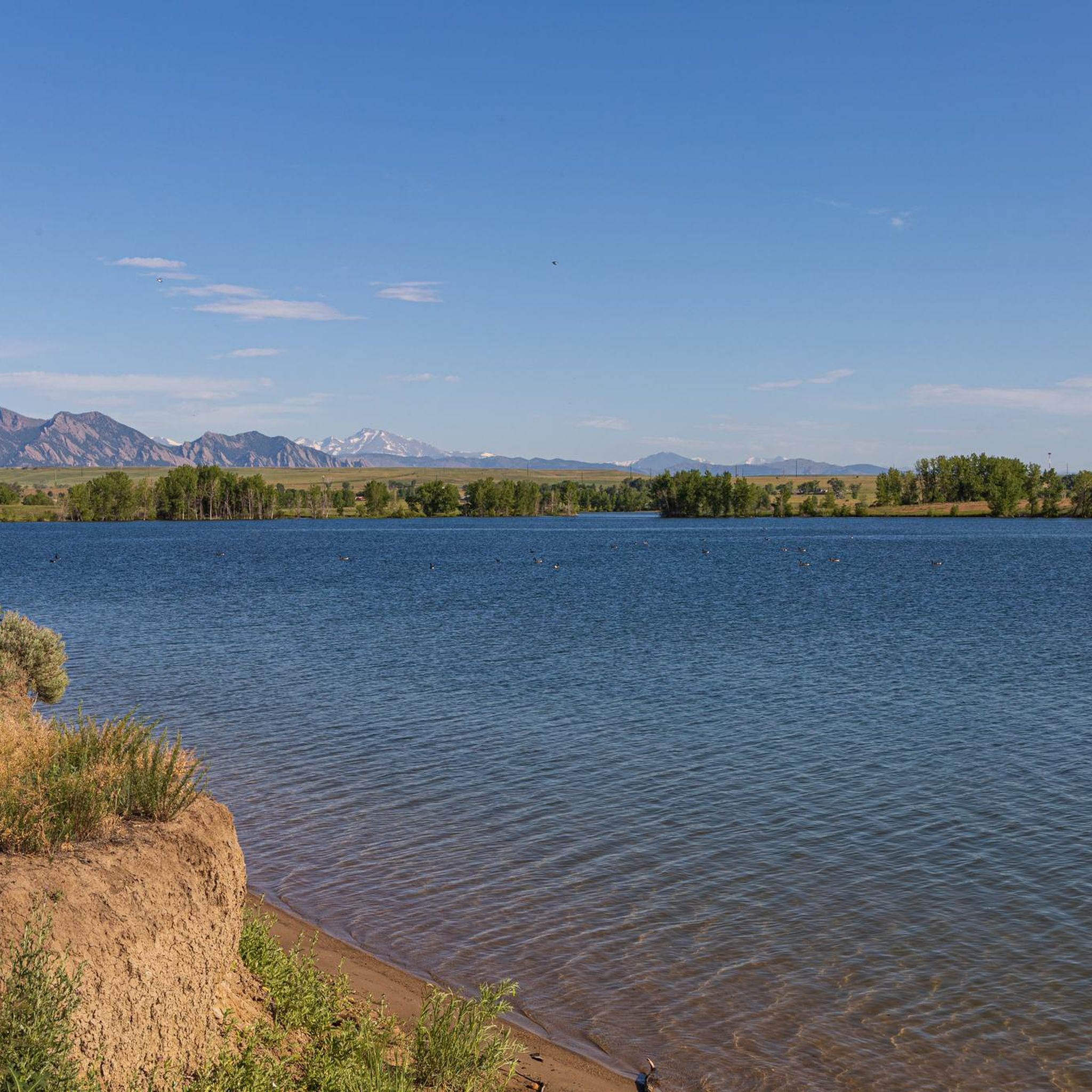
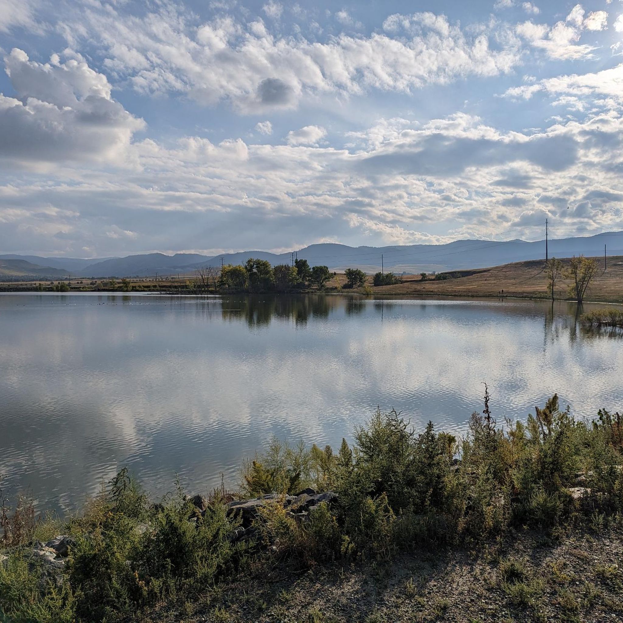
These Lakes, a haven for anglers, offer a unique recreational opportunity with piers specifically designed for casting your line. The stocked lakes are known for a variety of trout species, making the piers a great spot to cast your line.
1
0
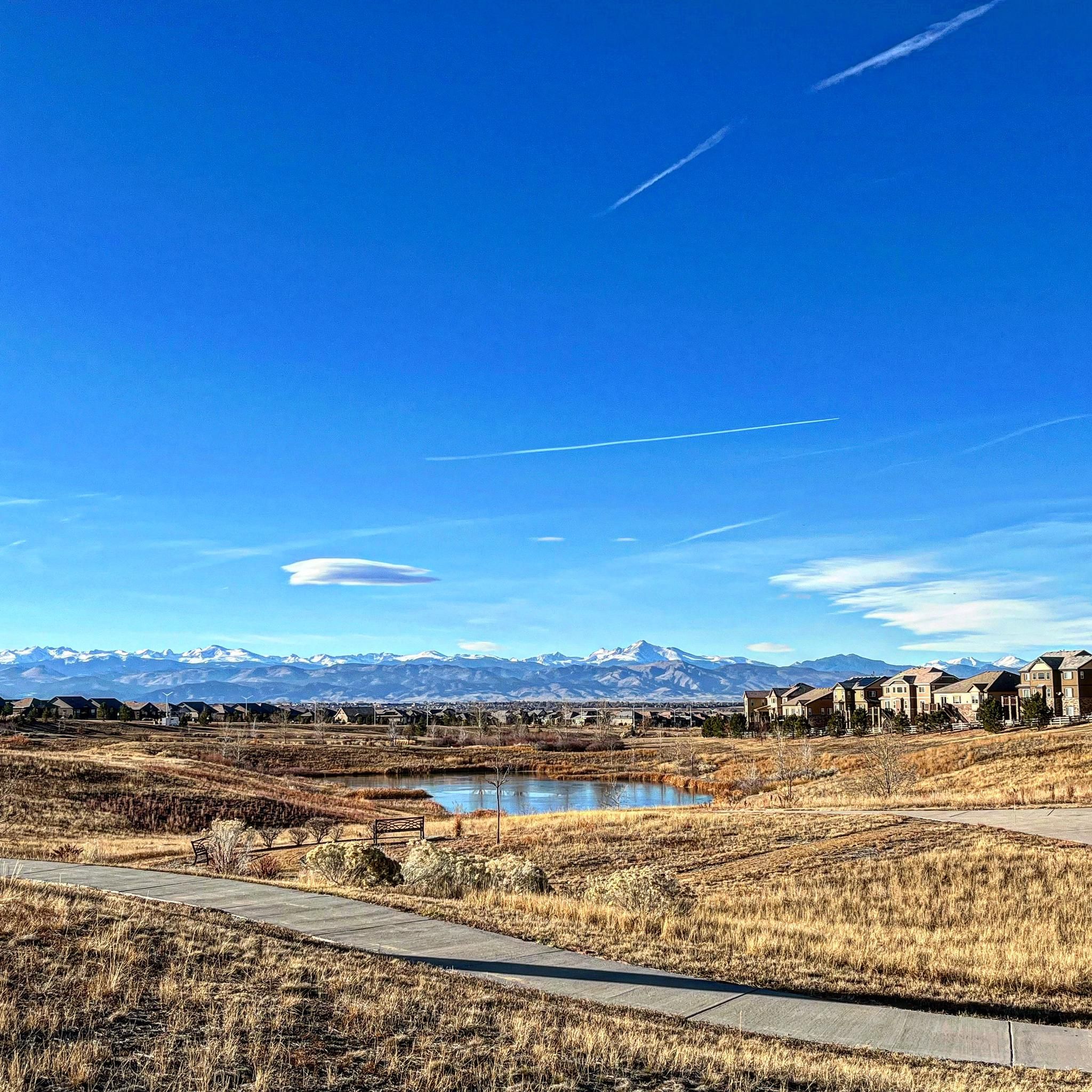
Located just behind Front Range Community College, this butterfly shaped pond offers a great place to relax and enjoy a picnic in the open meadows. You might even see some birds, squirrels, rabbits, or even the occasional fox.
1
0


This location has a portable toilet paid for by a member of the cycling community. For more details https://boulderbeat.news/2023/04/19/biking-porta-potties/
0
0

Frank Varra Park is home to a few running paths and Frank Varra Pond, which is a small reservoir with a children's playing area. The Rock Creek Trail is the main path running through the park and can be connected to neighboring trails to make bigger (or smaller) loops.
0
0
Explore rolling grasslands teeming with wildflowers in spring and summer, transitioning into vibrant aspen forests ablaze with golden hues in autumn. Immerse yourself in the changing seasons and their unique beauty.
0
0
Frequently Asked Questions
How many road cycling routes are available in Westminster, Colorado?
Westminster, Colorado, offers over 30 dedicated road cycling routes. These routes traverse extensive open spaces, prairie grasslands, and provide views of the Rocky Mountains, catering to various preferences and skill levels.
What kind of terrain and difficulty can I expect on road cycling routes around Westminster?
The road cycling routes in Westminster, Colorado, feature generally moderate elevations with gradual climbs and descents across rolling terrain. The area is known for its extensive trail systems and creek paths, offering a mix of easy rides and more challenging long-distance routes. You'll find 13 easy routes, 20 moderate routes, and 1 difficult route.
Are there family-friendly road cycling routes in Westminster, Colorado?
Yes, Westminster offers several family-friendly road cycling options, particularly within its extensive trail network. The city boasts 120 miles of trails, many of which are suitable for leisurely rides. Consider exploring routes within areas like Standley Lake Regional Park, which features 14 miles of trails, or the Big Dry Creek Trail, known for its peaceful escape through open spaces.
What scenic views or landmarks can I expect to see while road cycling in Westminster, Colorado?
Road cycling routes in Westminster, Colorado, offer diverse scenic views, including prairie grasslands and spectacular mountain vistas. You can also encounter various landmarks and natural features. Notable attractions include Standley Lake, Davidson Mesa Overlook, and the serene Ketner Lake Open Space, which is ideal for birdwatching. Many routes follow creek paths, providing opportunities to connect with nature and observe wildlife.
Are there any long-distance road cycling routes for experienced riders in Westminster?
Yes, Westminster offers several long-distance routes suitable for experienced road cyclists. A popular choice is the US 36 Bikeway and Boulder Loop, which spans 44.2 miles (71.1 km) and connects Westminster with Boulder, offering expansive views. Another option is the Loop around Thornton, a 41.2-mile (66.3 km) path providing a circuit through open landscapes.
What do other road cyclists enjoy most about road cycling in Westminster, Colorado?
The road cycling experience in Westminster, Colorado, is highly rated by the komoot community, with an average score of 4.6 stars from nearly 20 reviews. Over 600 road cyclists have explored the area, often praising the extensive trail systems, open spaces, and creek paths that define the region. Riders appreciate the varied terrain and the opportunities to connect with nature.
Are there circular road cycling routes available in Westminster, Colorado?
Yes, many road cycling routes in Westminster are designed as loops, offering convenient circular journeys. For instance, the Davidson Mesa Overlook – Walnut Creek Open Space loop from Front Range Community College is a 31.8-mile (51.1 km) trail that provides scenic overlooks. Another option is the Clear Creek – Walnut Creek Open Space loop from Big Dry Creek Open Space, covering 51.1 km.
Where can I find information about parks and open spaces in Westminster, Colorado?
Westminster, Colorado, is well-known for its natural beauty and extensive trail systems. You can find more detailed information about the city's parks and open spaces, including Standley Lake Regional Park and Wildlife Refuge, on the official city website. For general information, visit westminsterco.gov/Parks-Open-Space.
What are some less crowded road cycling routes in Westminster, Colorado?
While popular routes like the US 36 Bikeway can see more traffic, exploring the extensive network of 120 miles of trails often reveals quieter options. Consider routes that delve deeper into areas like Ketner Lake Open Space for a more serene experience, or explore some of the lesser-known segments of the Big Dry Creek Trail for a peaceful ride away from the main thoroughfares.
Are there opportunities for wildlife viewing along road cycling routes in Westminster?
Absolutely. Westminster's road cycling routes often traverse open spaces and natural areas rich in wildlife. Standley Lake Regional Park and Wildlife Refuge is a prime location for wildlife viewing, and the Big Dry Creek Trail winds through wildlife corridors. Cyclists frequently report seeing various bird species and other local fauna, especially during quieter times of the day.
Can I find routes that offer views of the Denver skyline from Westminster?
Yes, some road cycling routes in and around Westminster offer distant views of the Denver skyline, particularly from elevated points or open spaces. While not directly within Westminster, the View of Denver skyline from Sloan's Lake west shore is a notable highlight in a nearby area that can be incorporated into longer rides or visited separately for panoramic city views.
Most popular routes around Westminster
Most popular attractions around Westminster

Get inspired with the komoot mobile app


Explore more
Browse the best Road cycling routes in other regions.
