The best walks and hikes around Littleton
4.8
(47)
2,039
hikers
29
hikes
Hiking around Littleton, Colorado, features a diverse range of landscapes, from gentle riverside paths to trails that navigate dramatic red-rock formations. The region is characterized by the South Platte River corridor, which provides mostly flat routes, and nearby parks offering more challenging canyon trails with significant elevation changes. This variety of terrain makes the area suitable for hikers of all abilities, with options including reservoir loops and mountain views.
Best hiking trails in Littleton
- The most popular hiking route is…
Last updated: October 11, 2026
3
hikers
15.3km
03:58
110m
70m
Moderate hike. Good fitness required. Easily-accessible paths. Suitable for all skill levels.
1
hikers
10.4km
02:44
110m
40m
Moderate hike. Good fitness required. Easily-accessible paths. Suitable for all skill levels.

1
hikers
2.91km
00:44
10m
10m
Easy hike. Great for any fitness level. Easily-accessible paths. Suitable for all skill levels.
1
hikers
5.53km
01:25
10m
50m
Easy hike. Great for any fitness level. Easily-accessible paths. Suitable for all skill levels.
1
hikers
10.4km
02:44
110m
40m
Moderate hike. Good fitness required. Easily-accessible paths. Suitable for all skill levels.
Get access to more routes and recommendations from other explorers.
Already have an account?
Our route recommendations are based on thousands of hikes, rides, and runs completed by other people on komoot.
Start today with a free account
Your next adventure awaits.
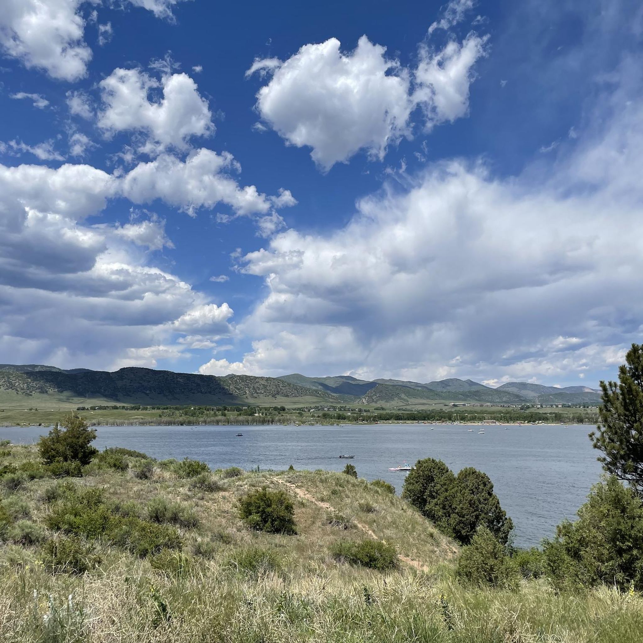
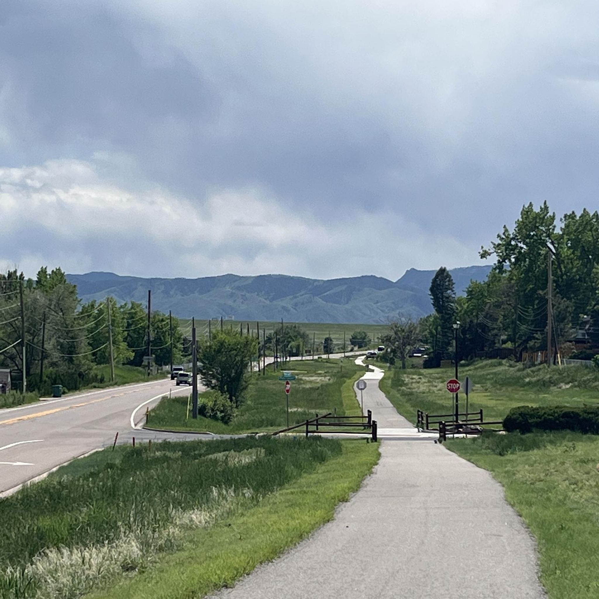
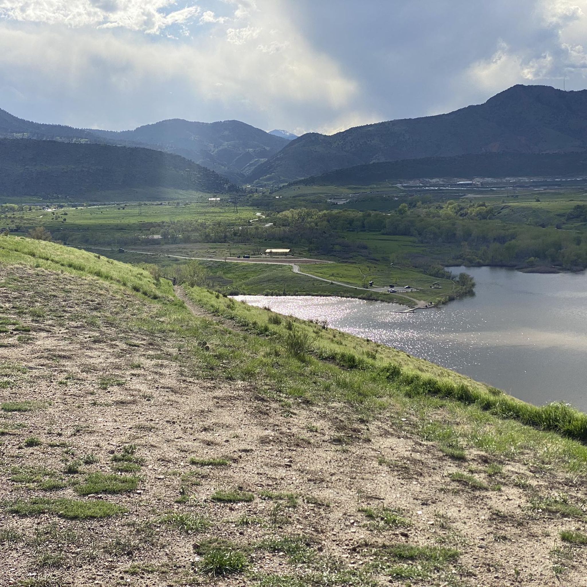

Tips from the Community

This point marks the intersection and trailhead for the Lee Gulch Trail and the Mary Carter Trail. This major trail junction is along the shores of the South Platte River and is a great resting spot or a spot to visit with the family.
0
0
Frequently Asked Questions
Are there many dog-friendly hiking trails in the Littleton area?
Yes, there are several options for hiking with your dog. For a dedicated off-leash experience, the Chatfield Dog Off-Leash Trail loop in Chatfield State Park is a popular choice. For on-leash hiking, many parks like Deer Creek Canyon Park and South Valley Park welcome dogs. However, be aware that dogs are not permitted in Waterton Canyon to protect the bighorn sheep population.
What are some good, easy hikes for beginners or families with kids?
The Littleton area has many accessible trails perfect for a family outing or a gentle start. The Ketring Lake loop is a very short, flat walk around a lake. For a slightly longer but still easy walk, the paved Mary Carter Greenway Trail along the South Platte River is excellent and suitable for strollers.
I'm looking for a challenging hike. What do you recommend?
For a strenuous hike with significant elevation gain, head to Deer Creek Canyon Park. It's known for its steep and rocky trails that reward hikers with great views. The park offers several routes that climb to the summits of Plymouth Mountain and Bill Couch Mountain, providing a serious workout.
Where can I see the famous red-rock formations near Littleton?
The most spectacular red-rock formations are found at Roxborough State Park, a National Natural Landmark. The park features several trails that wind through and overlook the dramatic, tilted sandstone fins. It's a highly regarded spot for its unique geology and scenery.
How many hiking trails are available around Littleton?
There is a wide variety of trails to explore, with over 70 hiking routes available on Komoot. These range from 44 easy walks suitable for all ages to 24 moderate trails and 3 difficult hikes for those seeking a challenge.
What do other hikers think of the trails in Littleton?
The hiking routes around Littleton are highly rated by the Komoot community, with an average score of 4.6 out of 5 stars. Hikers often praise the diversity of the landscape, from the serene riverside paths of the South Platte to the stunning geological wonders in the nearby state parks.
Are there any circular or loop hikes available?
Yes, many trails are designed as loops. A great moderate option is the Hildebrand Ranch Park to Hogback Hill Park loop, which offers a satisfying circuit with some elevation change. Many parks, including Roxborough and Chatfield, also feature well-marked loop trails.
Where is the best place to see wildlife while hiking?
Waterton Canyon is an exceptional destination for wildlife viewing, famous for its large herd of Rocky Mountain bighorn sheep. You might also spot mule deer and numerous bird species. South Platte Park is another excellent choice, particularly for birdwatching in its riparian and grassland habitats.
Are there any paved walking trails suitable for strollers or wheelchairs?
The Mary Carter Greenway Trail is an excellent choice. It's a paved, multi-use path that runs alongside the South Platte River, offering beautiful views and a smooth surface. Parts of the 71-mile High Line Canal Trail are also paved and accessible.
What kind of scenery can I expect on hikes near Littleton?
The scenery is incredibly diverse. You can experience tranquil riverside walks along the South Platte River, explore the vast open spaces and reservoir views at Chatfield State Park, or immerse yourself in the dramatic, 300-million-year-old red sandstone formations of Roxborough State Park. For more rugged mountain terrain, the canyons and peaks of Deer Creek Canyon Park offer a different kind of beauty.
I'm looking for a difficult, full-day hike. What's a good option?
If you're prepared for a long and demanding day, the Plymouth Mountain via Black Bear Trail is one of the toughest hikes in the area. This nearly 17.4-mile (28 km) route involves considerable elevation gain and takes over 8 hours to complete, offering a true challenge for experienced hikers.
Most popular routes around Littleton
Most popular attractions around Littleton

Get inspired with the komoot mobile app


Explore more
Browse the best Hikes in other regions.
