The best running trails around Breckenridge
5.0
(1)
416
runners
36
runs
If you've ever tried to plan jogging around Breckenridge, you know how overwhelming the options can be. With so many trails winding through the Rockies, it’s tough to tell which routes are genuinely worth your time and effort. We get it – you want the best running routes Breckenridge has to offer, not just a generic list. That’s why we’ve tapped into komoot’s community, who have mapped, run, and reviewed these trails, to bring you a curated shortlist of the ones that truly deliver.
Jogging around Breckenridge means embracing a high-altitude experience in the heart of the Rocky Mountains. Expect diverse terrain, from the winding Blue River Valley to challenging ascents towards the prominent peaks of the Tenmile Range, all framed by stunning pine and aspen forests. It’s a place where you can find everything from easy, paved paths to demanding mountain trails. Just remember, the elevation here is no joke; give yourself time to acclimatize before tackling those longer, more strenuous runs.
So, where to start? For a truly iconic, challenging experience with incredible mountain views, we’d point you straight to the Peaks Trail, a difficult 13.8 miles (22.2 km) route that’s a local favourite. If you’re looking for something a bit more moderate through beautiful pine forests and alongside a creek, the Burro Trail is a fantastic choice at 3.2 miles (5.1 km). With more than 200 runners already exploring Breckenridge with komoot, you’re in good company. Dive in and find your next favourite run!
Last updated: May 10, 2026
21
runners
22.2km
02:45
420m
420m
The Peaks Trail offers an immersive jogging experience through Colorado's alpine environment, connecting the towns of Breckenridge and Frisco. You'll navigate a varied singletrack path winding through dense forests of lodgepole pine and aspen, with sections of rocky and rooty terrain, gradual climbs, and descents. Keep an eye out for babbling brooks and potential wildlife sightings, and enjoy the occasional panoramic views of Lake Dillon as the tree cover opens up.
This difficult 13.8-mile (22.2 km) route, with 1373 feet (418 metres) of elevation gain, typically takes around 2 hours and 45 minutes to complete. Its point-to-point nature is made convenient by the free Summit Stage bus service, allowing you to easily return to your starting point. Remember that the high altitude, often above 9,000 feet, significantly contributes to the Peaks Trail jogging difficulty, so plan accordingly.
Beyond its natural beauty, the Peaks Trail is a classic Summit County multi-use trail, enjoyed by hikers and mountain bikers alike. It also offers a glimpse into the region's rich mining history, with historical remnants visible along the route. This trail is an excellent choice for those seeking a challenging and rewarding trail run with a blend of natural scenery and local heritage.
5.0
(1)
8
runners
5.07km
00:37
170m
170m
If you're looking for a refreshing jog near Breckenridge, the Burro Trail offers a delightful mix of scenery and varied terrain. You'll navigate through shaded pine forests, often alongside a meandering creek, with some sections opening up to meadowlands and views of the Front Ranges. The trail's unpaved natural surfaces, including singletrack and double-track, provide an engaging experience, especially when the aspen trees turn golden in autumn.
This moderate 3.2-mile (5.1 km) route involves about 567 feet (173 metres) of elevation gain, typically taking around 36 minutes to jog. It's easily accessible from downtown Breckenridge and is dog-friendly, provided your pet is on a leash. The trail is enjoyable year-round, but consider visiting in the fall for the most spectacular views, and plan for a gentle, sustained climb through the woods.
The Burro Trail is a popular choice for both joggers and mountain bikers, known for its potential for wildlife sightings, including deer, moose, and eagles. Its location within the White River National Forest makes it a prime spot for experiencing Colorado's natural beauty without venturing too far from town. It's a great option for a quick, rewarding workout that feels like a true escape into the wilderness.

4
runners
15.0km
02:25
860m
860m
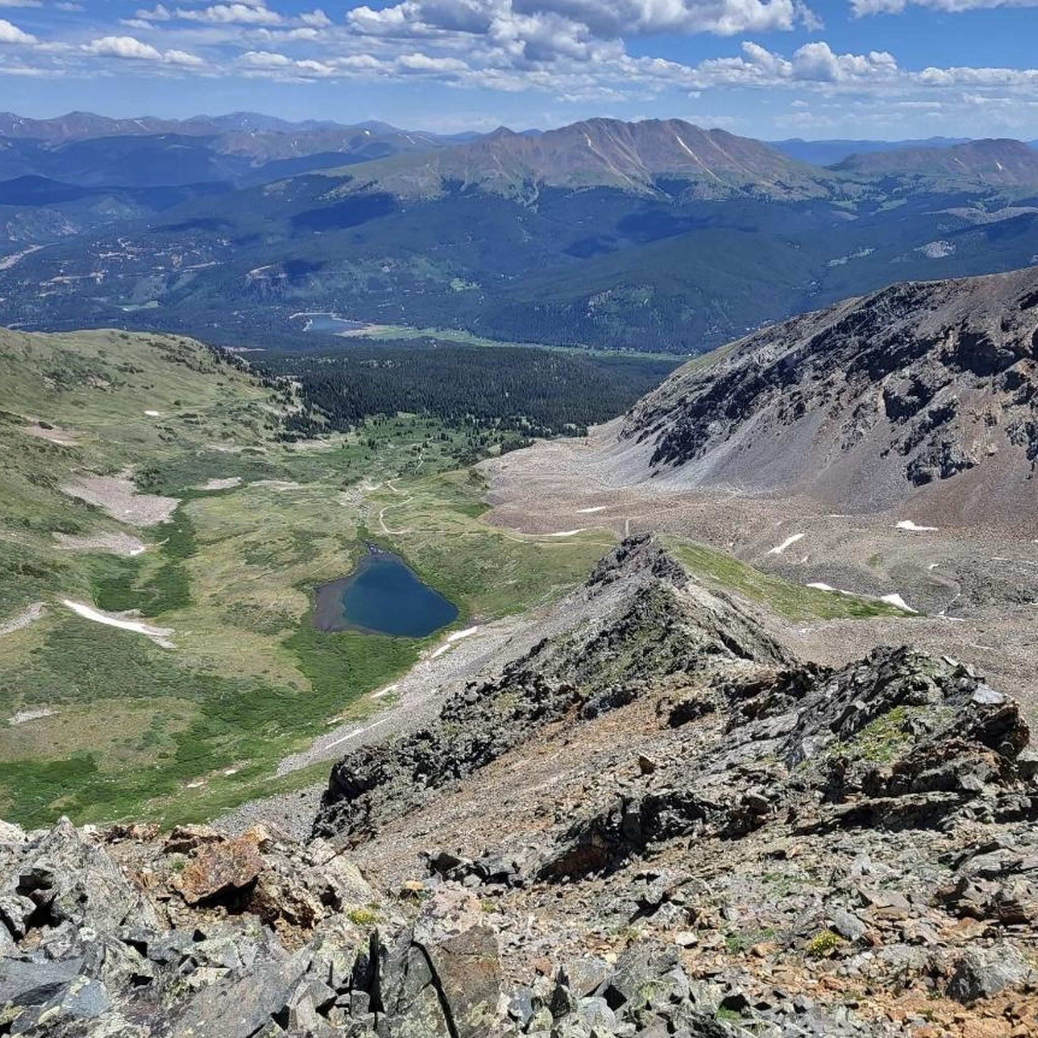
The Peak 8 Trail offers a rugged, high-alpine jogging adventure with truly spectacular rewards. As you ascend, the terrain shifts from more accessible paths to a challenging, exposed talus field near the summit, demanding your full attention and sturdy footwear. The effort is well worth it for the sweeping panoramic views of Breckenridge, the Blue River valley, and the majestic Tenmile Range that unfold around you, especially vibrant during the summer months.
Planning your visit requires acknowledging the trail's significant difficulty and high altitude. The summit of Peak 8 reaches nearly 13,000 feet, meaning you'll be jogging in thin air, even from Breckenridge's base elevation of 9,600 feet. You can easily access the Peak 8 base via the free gondola from town. Be prepared for potentially snowy conditions on the summit for much of the year, and always ensure you have very good fitness and appropriate gear before setting out.
This trail is notable for its extreme elevation, with the Peak Eight Summit standing at 12,976 feet. It's also home to the Imperial Express SuperChair, North America's highest chairlift at 12,840 feet, which provides access to incredible above-tree-line terrain, though it doesn't always operate in summer. The route is a prime example of the challenging yet immensely rewarding jogging trails available in the Breckenridge area, offering a true taste of Colorado's high country.
3
runners
10.6km
01:31
370m
370m
If you're seeking a demanding mountain run, the Colorado Trail, Hippo Trail, & Campion Trail run loop (likely a misnomer for a Colorado-only route) offers a difficult 6.6-mile (10.6 km) challenge with 1227 feet (374 metres) of elevation gain, achievable in about 1 hour and 31 minutes for a fit runner. Expect to navigate rugged, high-altitude sections of the Colorado Trail, potentially above the timberline with expansive views, before transitioning to the smoother, pine-forested paths of the Hippo Trail. This route is for those who thrive on significant climbs and varied mountain terrain.
For a run of this intensity and elevation, planning is key. The best time of year to tackle such a route in Colorado is typically between July and September to avoid snow and ensure trail access. Parking at popular trailheads for the Colorado Trail and Hippo Trail, especially near Keystone, can fill quickly, so aim for an early morning start. Always carry ample water and be prepared for rapidly changing mountain weather conditions.
While the name suggests a combination of trails, the Campion Trail is actually located in Texas, making a true combined loop geographically impossible. This Komoot tour likely refers to a challenging segment that combines parts of the Colorado Trail, known for its diverse ecosystems and historic routes, with the recently rerouted Hippo Trail, which offers improved flow through natural pine forests. It's a great way to experience the demanding beauty of Colorado's high country.
4.64km
00:31
30m
30m
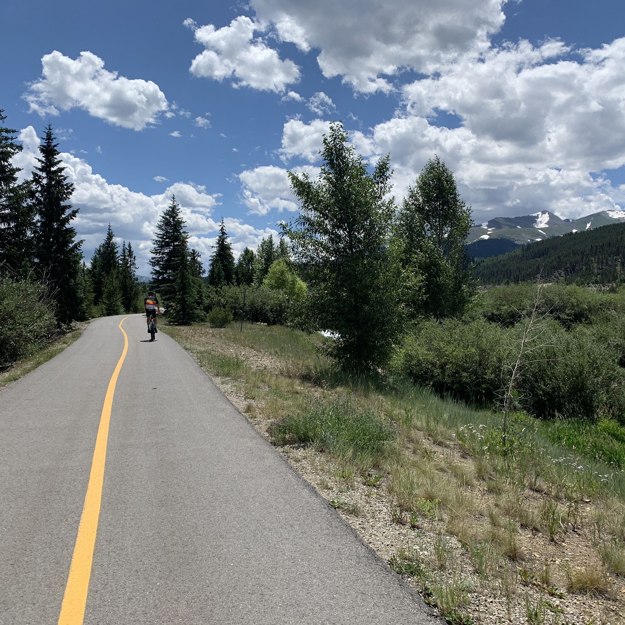
If you're seeking a refreshing jog with panoramic mountain backdrops, the Upper Blue Recpath delivers. This paved route winds along the Blue River, treating you to continuous views of the majestic Tenmile Range and even glimpses of the Dillon Reservoir. It's a smooth, accessible path, making it easy to soak in the Colorado Rockies scenery without technical challenges.
This easy 2.9-mile (4.6 km) jogging trail, which takes about 31 minutes to complete with 109 feet (33 metres) of elevation gain, is a popular choice for its accessibility. It's often one of the first trails in Summit County to clear of snow in the spring, making it an early-season favorite. Dogs are permitted on leash, and the path is wheelchair-accessible, connecting towns like Frisco and Breckenridge.
Part of the extensive Summit County Recreational Pathway System, this trail is more than just a scenic run; it's a vital connection between mountain towns. You'll find interpretive signs along the way explaining the region's rich mining history, adding a cultural layer to your outdoor experience. It's a top-rated jogging trail for those looking for a straightforward, rewarding outing.
Get access to more routes and recommendations from other explorers.
Already have an account?
Our route recommendations are based on thousands of hikes, rides, and runs completed by other people on komoot.
Start today with a free account
Your next adventure awaits.

Tips from the Community

At this point, you will have hiked 100 miles on the Colorado Trail if you started your hike in Denver. Enjoy your achievement! There is roughly another 400 miles to Durango.
3
0

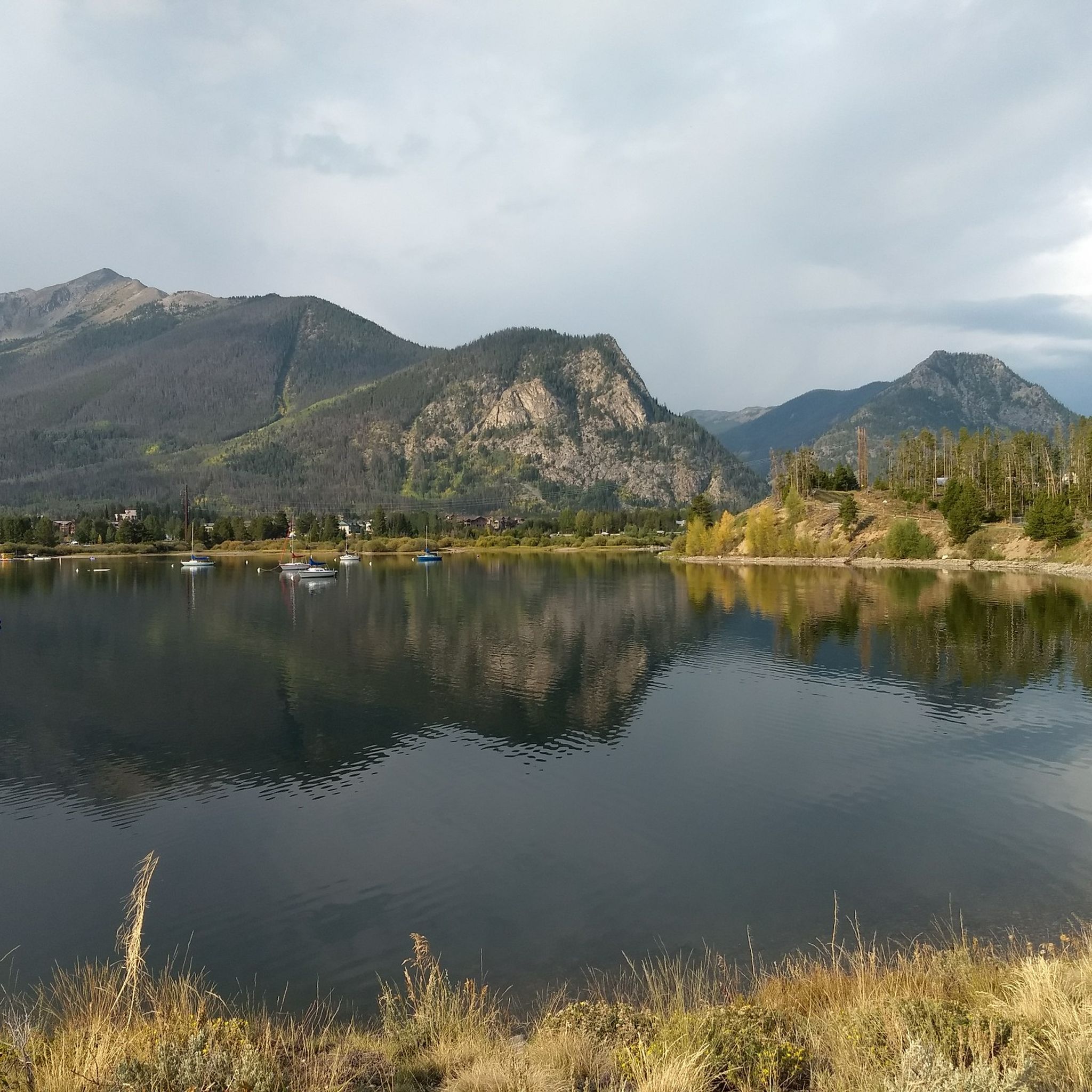
Rainbow Lake is an easy accessible body of water off of the Peaks Trail in Frisco, Colorado. The water's edge serves as a pretty picturesque spot with high mountain peaks looming in the background. This area is known for having moose pass through on a semi-regular basis.
0
0
The Colorado Trail starts to weave in and out of forested areas and through alpine meadows during this segment of the trail. Smooth, swooping singletrack trail makes for awesome views back towards the towns of Silverthorne, Frisco, and Breckenridge.
0
0
Rainbow Lake is an easily accessible body of water off of the Peaks Trail in Frisco, Colorado. The water's edge serves as a pretty picturesque spot with high mountain peaks looming in the background. This area is known for having moose pass through on a semi-regular basis.
0
0
This small stretch of trail on the Peaks Trail offers a vantage point of the Mount Evans Wilderness, which encompasses two 14,000 foot mountains: Mount Evans and Mount Bierstadt.
0
0
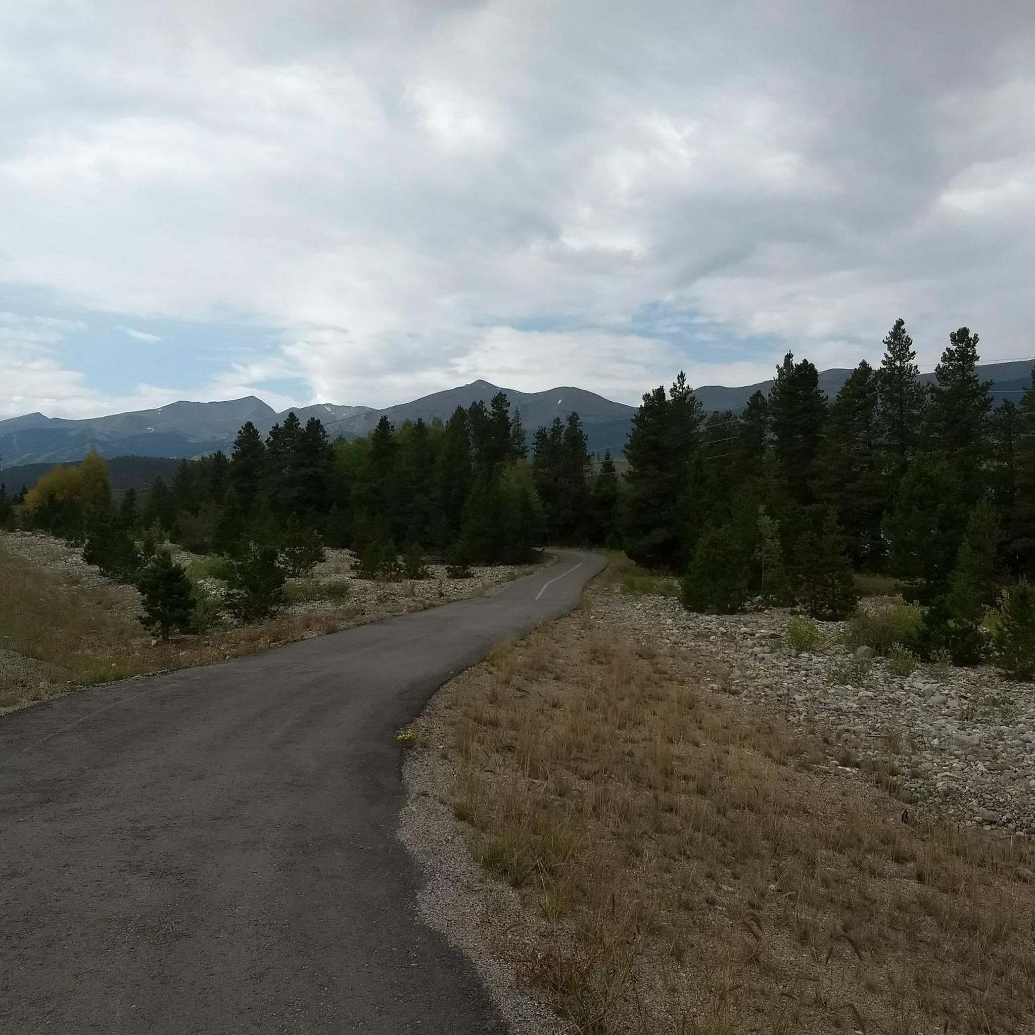
The Burro Trail is popular for hiking, but it's really popular for trail running and mountain biking since it offers a ton in one trail. There is everything from smooth singletrack to rough double-track trails with open views and forested areas.
0
0
Traveling to the top of Peak Eight, the Imperial chair lift at Breckenridge Ski Resort is the highest chairlift in North America. It tops out at 12,840 feet, which is over 1,000 feet above treeline. The summit sees snow for much of the year, but it is an exposed talus field in the summer months.
0
0
The Summit County Recreational Pathway is a paved path that moves through the town of Breckenridge and connects to the other paved trails that pass through the other cities in Summit County. This particular section follows along the creek and offers the option to hop off the pavement for some dirt trail running.
0
0
Frequently Asked Questions
How many running routes are available in Breckenridge?
Breckenridge offers a wide variety of running experiences, with over 25 routes available on komoot. These range from easy, paved paths to challenging mountain ascents, catering to all fitness levels.
Are there easy running trails suitable for beginners or a relaxed jog?
Yes, Breckenridge has several easy options. The Upper Blue Recpath is a great choice, offering a mostly paved, gentle experience. You can also find shaded forest routes like those accessed via the Snowflake Trailhead, which follow a gentle creek to Sawmill Reservoir.
What are some challenging running routes for experienced runners in Breckenridge?
For those seeking a challenge, the Peaks Trail is a demanding 13.8-mile route with significant elevation changes and stunning mountain views. Another difficult option is the Peak 8 Trail, which provides a strenuous ascent towards the higher peaks.
Can I find circular running routes in Breckenridge?
Yes, there are several loop options. For example, the Colorado Trail, Hippo Trail, & Campion Trail run loop offers a scenic and challenging circular run through varied terrain.
Are there dog-friendly running trails in Breckenridge?
Many trails in Breckenridge are dog-friendly, but it's always best to check local regulations and leash laws for specific routes. Generally, trails like the Burro Trail, which winds through pine forests and alongside a creek, are popular choices for runners with their canine companions.
What kind of scenery can I expect on Breckenridge's running trails?
Breckenridge offers diverse and breathtaking scenery. You'll encounter majestic, often snow-capped mountains of the Tenmile Range, serene pine and aspen forests (especially vibrant in autumn), and picturesque paths alongside the winding Blue River. Many trails also lead to alpine lakes and reservoirs, providing tranquil settings.
What should I know about running at high altitude in Breckenridge?
Breckenridge is at a base elevation of 9,600 feet, so high-altitude training is a key aspect. It's crucial to stay hydrated, take it easy for the first few days to acclimatize, and listen to your body to prevent altitude sickness. Visitors from lower elevations should be mindful of the reduced oxygen levels.
Are there any running routes that offer views of wildlife?
Yes, areas like the Cucumber Gulch Wildlife Preserve, accessible via trails such as the Four O'Clock and Pence Miller Trails, are known for wildlife sightings including moose, elk, and deer. Portions of Boreas Pass Road also offer opportunities for birdwatching and wildlife spotting.
What do other runners say about the trails in Breckenridge?
The running routes in Breckenridge are highly rated by the komoot community, with an average score of 5.0 stars. Runners often praise the stunning Rocky Mountain scenery, the variety of trail difficulties, and the well-maintained paths through forests and along the river.
Are there any notable landmarks or attractions near the running routes?
Absolutely! Many trails offer access to or views of significant natural landmarks. You can find routes that lead to or pass by mountain peaks like Peak Eight Summit or offer views of Dillon Reservoir from Mount Royal. Mountain passes such as Boreas Pass Gravel are also accessible and provide stunning vistas.
Are there family-friendly running paths suitable for all ages?
For families, the mostly paved Upper Blue Recpath is an excellent choice, offering a gentle and accessible surface. Shaded forest routes like those leading to Sawmill Reservoir are also suitable for a leisurely family jog.
Most popular routes around Breckenridge
Most popular attractions around Breckenridge

Get inspired with the komoot mobile app


Explore more
Browse the best Running Trails & Routes in other regions.
