The best cycling routes around Carbondale
5.0
(8)
241
riders
19
rides
Best touring bike trails near Carbondale are situated in a region characterized by its location in the Roaring Fork Valley, framed by the Elk Mountains and the White River National Forest. The landscape features the Roaring Fork River and its tributaries, offering routes that often follow river corridors. Terrain typically includes valley floors with gradual inclines, alongside more challenging ascents into the surrounding foothills.
Best touring cycling routes around Carbondale
- The most popular touring cycling route is Carbondale – View of Roaring Fork River loop from Carbondale, a 24.2 miles (39.0 km) trail that takes 2 hours 16 minutes to complete. This moderate route offers views of the Roaring Fork River.
- Another top favourite among local touring cyclists is Crystal Valley Trail – Carbondale loop from Carbondale, a moderate 19.9 miles (32.1 km) path. This route explores the Crystal Valley, featuring varied terrain and scenic stretches.
- Local touring cyclists also love the Carbondale – No Name Rest Area loop from Carbondale, a 33.7 miles (54.2 km) trail leading through the valley and along riverbanks, often completed in about 3 hours 13 minutes.
- Touring cycling around Carbondale is defined by river valleys, mountain backdrops, and open plains. The network offers options for different ability levels, from moderate valley rides to more challenging routes with greater elevation gain.
- The routes in Carbondale are highly rated by the komoot community with an average score of 5.0 stars from 9 reviews. More than 200 touring cyclists have used komoot to explore Carbondale's varied terrain.
Last updated: July 2, 2026
1
riders
34.3km
02:25
510m
510m
Cycle the difficult Missouri Heights loop, a 21.3-mile route with 1684 feet of gain and panoramic mountain views near Carbondale.
5.0
(2)
32
riders
86.4km
05:33
630m
630m
Hard bike ride. Very good fitness required. Mostly paved surfaces. Suitable for all skill levels.

Sign up for free
5.0
(1)
31
riders
32.0km
01:57
210m
210m
Moderate bike ride. Good fitness required. Mostly paved surfaces. Suitable for all skill levels.
13
riders
36.1km
02:17
400m
400m
Moderate bike ride. Good fitness required. Mostly paved surfaces. Suitable for all skill levels.
18
riders
39.4km
02:54
630m
630m
Hard bike ride. Very good fitness required. You may need to push your bike for some segments of this route.
Get access to more routes and recommendations from other explorers.
Sign up for free
Already have an account?
Our route recommendations are based on thousands of hikes, rides, and runs completed by other people on komoot.
Start today with a free account
Your next adventure awaits.
Login or Signup
Tips from the Community


The Rio Grande Trail is 42 miles between Glenwood Springs and Aspen. The trail is fully paved and traffic-free, except for crossings at intersections. This is a beautiful section that takes you into Carbondale.
0
0

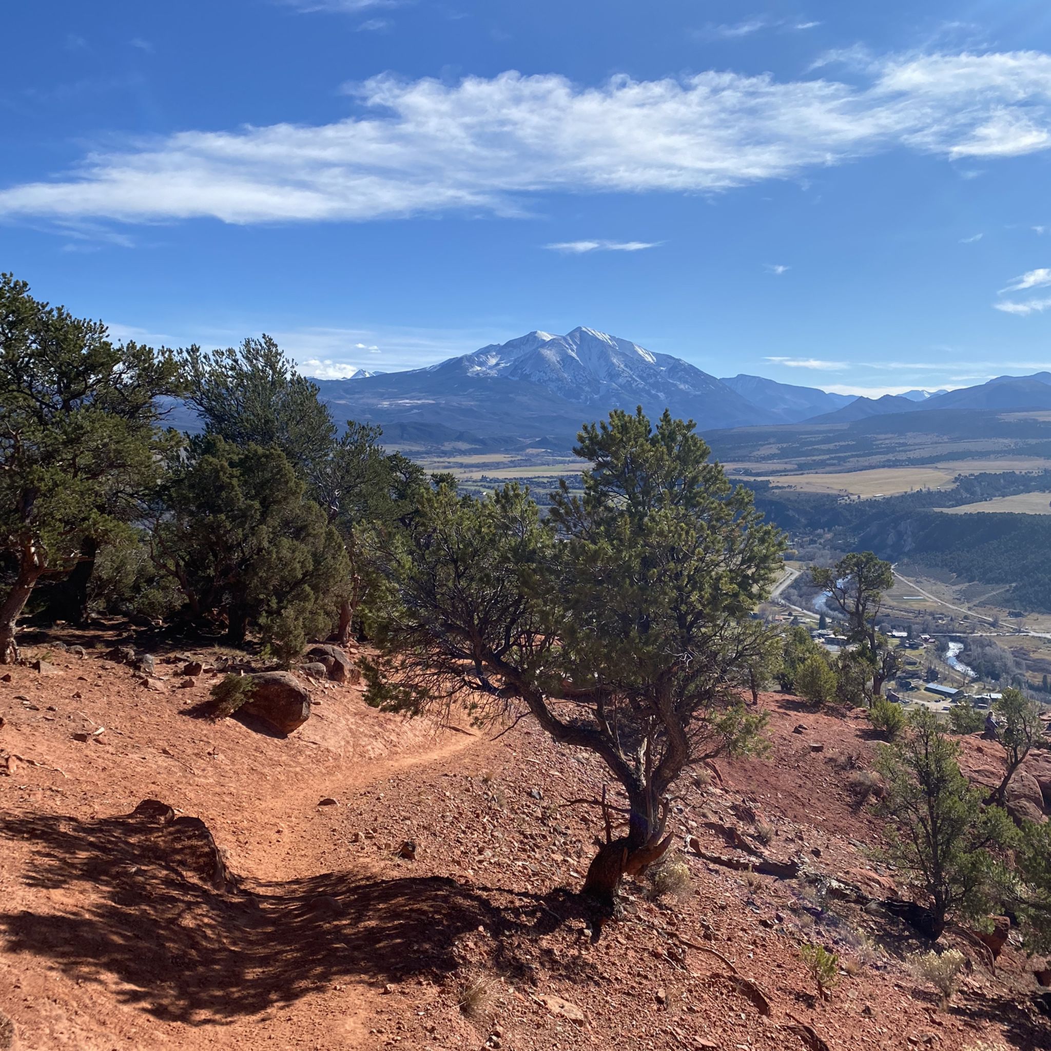
Here, Sunnyside Trail branches off the Rio Grande Trail and continues up towards Red Mountain. Sunnyside Trail is a popular trail in the area for hikers and runners, so expect to see others on the way up. In total, this trail runs about 10 miles, but there are some very nice overlooks a couple of miles in before reaching the aspen grove that make a good turn around spot if you are looking to make a shorter trip.
1
0

Prince Creek Trailhead provides access to great mountain bike, trail running and hiking trails. The trails range from a quick afternoon loop to an all-day 20+ mile loop. There are also several dispersed campsites along Prince Creek Road leading up to the trailhead.
0
0

Aspen, Colorado, the world-famous ski resort town, is a great place to kick off or end your ride by exploring the historic downtown area. Cruise through the streets with Victorian architecture, checking out local shops and art galleries, grab a quick coffee at one of the nearby cafes, or stop by one of the diverse restaurants in town for a meal, before hitting the road again.
0
0

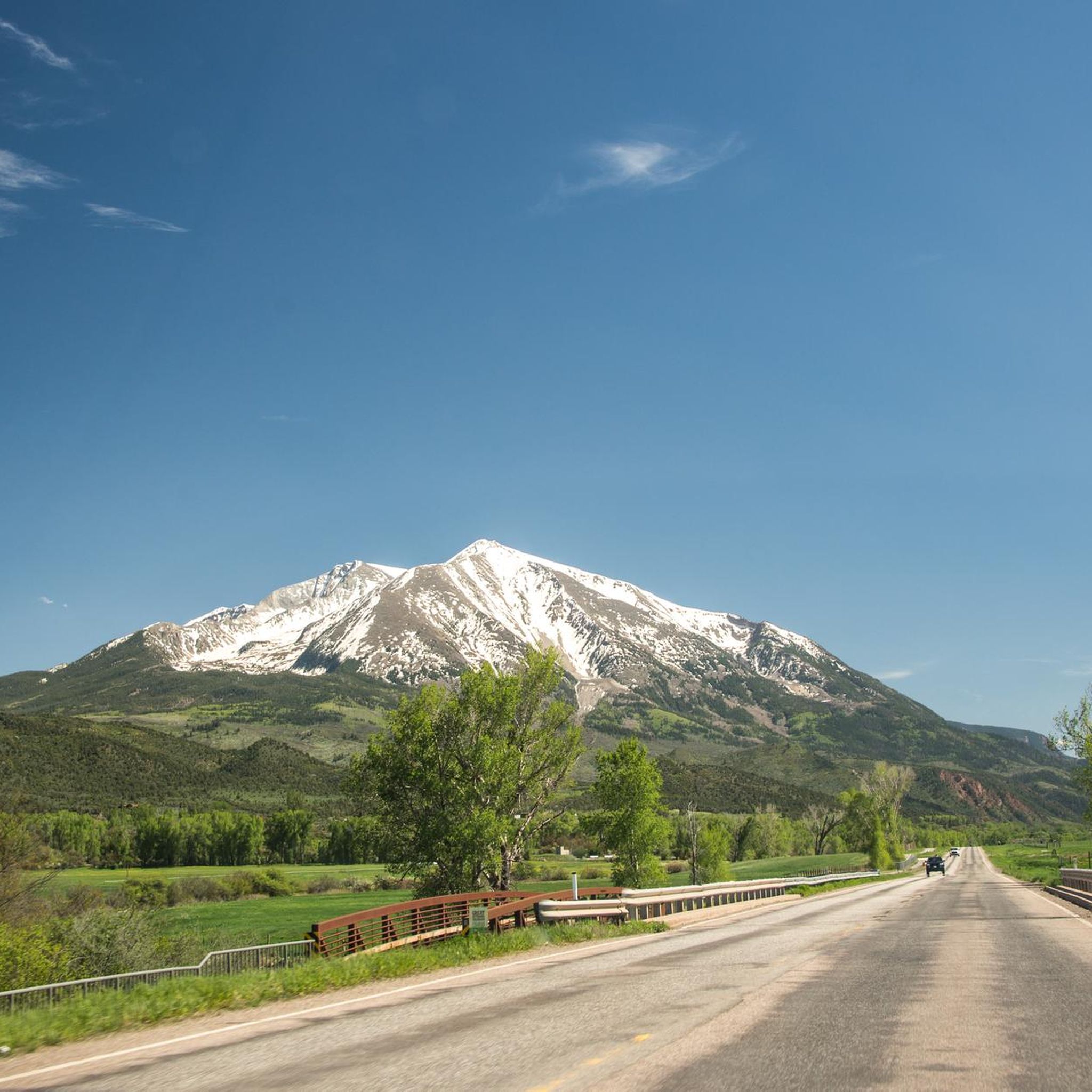
Satank Bridge spans the Roaring Fork River and was constructed in a style to resemble the period of wagon bridges. On the bridge, you have a view up the Elk Scenic Corridor and a backdrop of majestic Mount Sopris. The bridge is also called "pink bridge" due to the pink hue it takes at sunset.
0
0
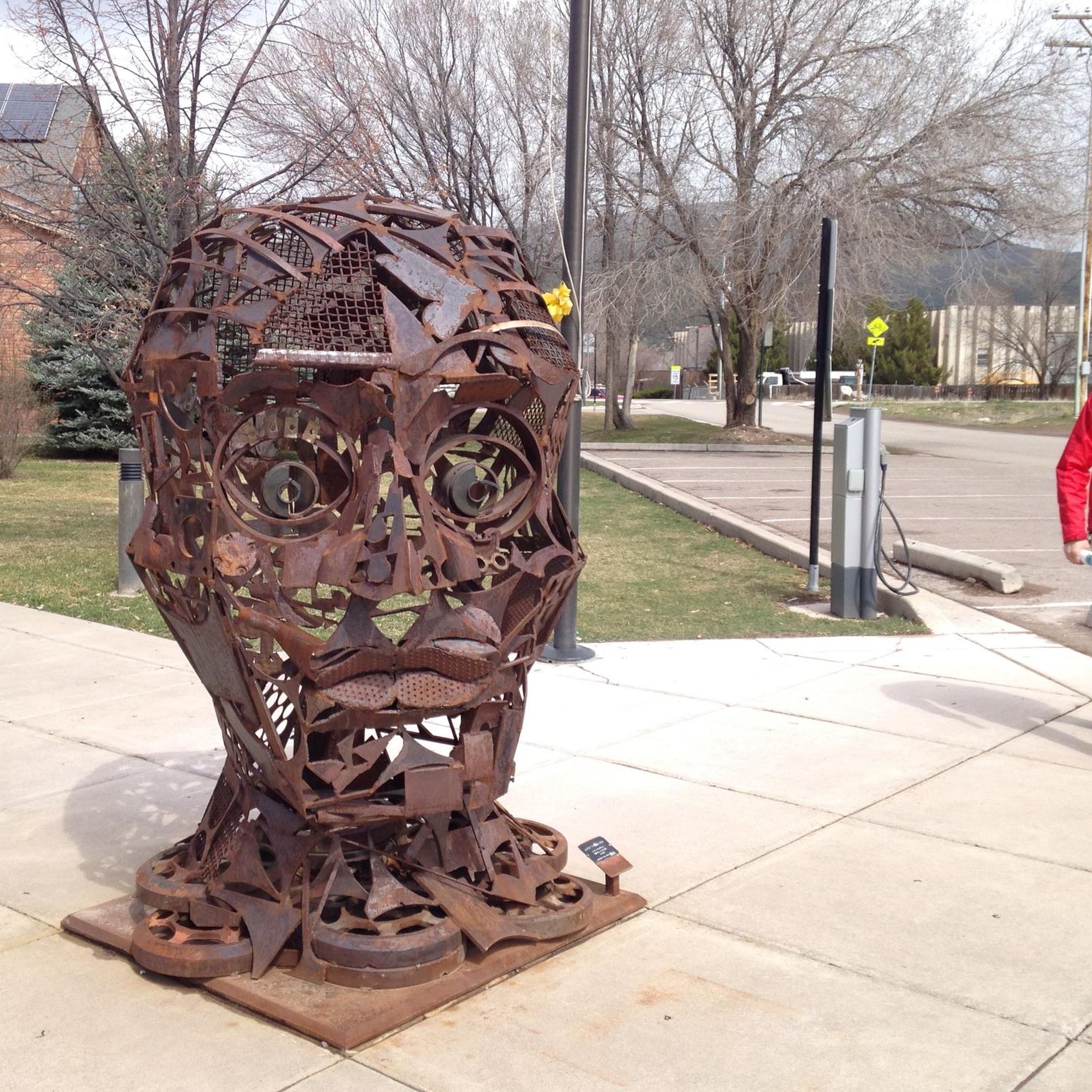
Carbondale is a picturesque town located at the base of Mt. Sopris and confluence of the Crystal and Roaring Fork Rivers. National Geographic Adventure Magazine has ranked it as one of "The Top 10 Adventure Towns in the U.S.", so there is no shortage of outdoor activities. It is also a "Certified Colorado Creative District", so it has a vibrant art scene as well.
1
0

The Rio Grande Trail is a paved bike path which parallels the highway and Roaring Fork River here between Carbondale and Glenwood Springs. There are public restrooms off the trail near the middle of this segment. From the trail you get splendid views of the canyons and rivers.
0
0
Frequently Asked Questions
How many touring cycling routes are available around Carbondale?
There are over a dozen touring cycling routes around Carbondale, offering a variety of experiences for different skill levels. These routes explore the Roaring Fork Valley, its rivers, and the surrounding foothills.
Are there any easy touring cycling routes suitable for beginners in Carbondale?
While there are no routes specifically graded as 'easy' in our current selection, many of the moderate routes feature gradual inclines along valley floors, making them accessible for those with some cycling experience. For example, the Carbondale – View of Roaring Fork River loop from Carbondale offers a pleasant ride with river views.
What are some longer touring cycling routes in the Carbondale area?
For longer rides, consider routes like the Carbondale – Rio Grande Trail loop from Carbondale, which covers approximately 44.7 miles (72 km) and is graded as difficult due to its distance and elevation gain. Another option is the Carbondale – No Name Rest Area loop from Carbondale, a moderate 33.7-mile (54.2 km) trail.
Are there any circular touring cycling routes starting from Carbondale?
Yes, many of the touring cycling routes around Carbondale are loops, allowing you to start and end in the same location. Examples include the Carbondale – View of Roaring Fork River loop from Carbondale and the Crystal Valley Trail – Carbondale loop from Carbondale.
What kind of terrain can I expect on touring cycling routes in Carbondale?
The terrain around Carbondale varies. You'll find routes along the valley floors with gradual inclines, often following the Roaring Fork River. Other routes venture into the surrounding foothills, offering more challenging ascents and descents. The region is characterized by river valleys, mountain backdrops, and open plains.
What are some scenic viewpoints or attractions along the touring cycling routes?
The routes often provide views of the Roaring Fork River and the surrounding Elk Mountains. You might encounter natural landmarks like Mushroom Rock or historical structures such as the Satank Bridge. The Rio Grande Trail itself is a popular scenic corridor.
Where can I find parking or access points for the bike trails in Carbondale?
Carbondale serves as a central starting point for many routes. Specific access points and parking can often be found near trailheads. For example, the Sutey Ranch Trailhead is a known parking location in the area.
What is the best time of year for touring cycling in Carbondale?
The best time for touring cycling in Carbondale is typically from late spring through early autumn (May to October), when the weather is mild and trails are clear of snow. Summer offers warm temperatures, while spring and fall provide cooler rides and vibrant scenery.
Are there any challenging touring cycling routes for experienced riders?
Yes, Carbondale offers several difficult routes for experienced touring cyclists. The Carbondale – Rio Grande Trail loop from Carbondale is one such option, featuring significant distance and elevation gain as it explores the region.
What do other touring cyclists say about the routes in Carbondale?
The touring cycling routes in Carbondale are highly regarded by the komoot community, holding an average rating of 5.0 stars from 9 reviews. Cyclists often praise the varied terrain, scenic river views, and the options available for different ability levels.
Can I find paved road bike trails near Carbondale?
Many of the touring cycling routes in Carbondale utilize paved sections, particularly those that follow established trails like parts of the Rio Grande Trail. These paths offer smooth surfaces suitable for road bikes, often alongside rivers and through valleys.
Are there any touring cycling routes that pass through the Crystal Valley?
Yes, the Crystal Valley Trail – Carbondale loop from Carbondale is a moderate 19.9-mile (32.1 km) route specifically designed to explore the scenic Crystal Valley, featuring varied terrain and picturesque stretches.
Most popular attractions around Carbondale

Get inspired with the komoot mobile app


Explore more
Browse the best Cycling routes in other regions.
