The best walks and hikes around Louisville
4.7
(251)
6,158
hikers
12
hikes
Hikes around Louisville navigate a landscape shaped by extensive park systems and the Ohio River. The region is characterized by mature woodlands, rolling hills, and creek-carved valleys, with many trails located within the United States' largest municipal urban forest. This combination of preserved natural spaces and urban parks provides a varied network of routes.
Best hiking trails around Louisville
- The most popular hiking route is Waneka Park loop — Lafayette, a 1.4 mile (2.2 km) trail that takes about…
Last updated: July 8, 2026
4
hikers
3.00km
00:46
10m
10m
Easy 1.9-mile hike in Warembourg Open Space, offering mountain vistas, golden plains, and views of Warembourg Fishing Pond.
6.96km
01:48
20m
70m
Hike the easy Coal Creek Trail, a 4.3-mile route with minimal elevation gain, following Coal Creek through open spaces.

Sign up for free
27.1km
07:00
160m
150m
This difficult 16.8-mile hiking loop offers varied scenery, including Front Range views, open spaces, and the scenic Coal Creek corridor.
769m
00:12
0m
0m
Hike the easy 0.5-mile Hecla Lake Loop in Louisville, Colorado, a crushed gravel trail perfect for birdwatching around Hecla Lake.
14
hikers
3.71km
00:58
30m
30m
Easy hike. Great for any fitness level. Easily-accessible paths. Suitable for all skill levels.
Get access to more routes and recommendations from other explorers.
Sign up for free
Already have an account?
Our route recommendations are based on thousands of hikes, rides, and runs completed by other people on komoot.
Start today with a free account
Your next adventure awaits.
Login or Signup




Tips from the Community

After losing their nest to a lightning strike in August, it was unclear which location the eagles would choose for their to new nest. With limited suitable nesting trees in the area—including one along the trail near their previous nest—they have now settled in a tree here, near the southern end of S. 104th St.
0
0


Awesome views. The gravel trails drain very well after a rain or snowfall. You don't need to worry about mud.
0
0

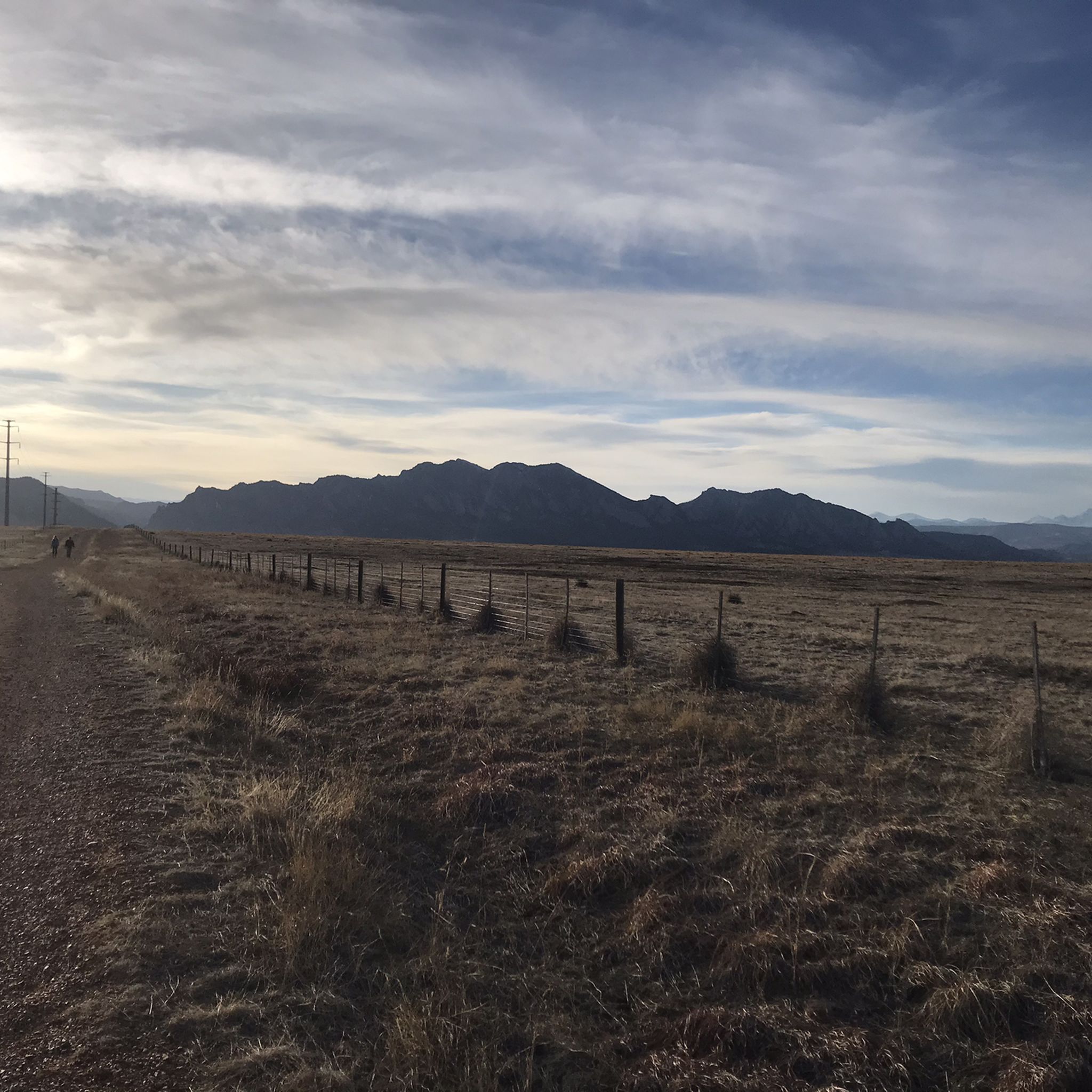
The Mesa Trail winds through a network of wide crushed gravel paths with splendid views of the Front Range.
1
0

Aquarius Open Space is crossed by many trails, being the main one "Coal Creek Trail". There's a parking lot on the southeastern part, although you can access the area by any of the trails that go through it.
0
0

Cycling along West Dillon Road through Admor Open Space treats riders to a varied geography. The landscape unfolds with rolling hills, expansive meadows, and glimpses of majestic mountains. The open space, with its diverse terrain and natural beauty, creates a scenic and enjoyable cycling experience in this Colorado locale.
0
0

This area is a highly popular running spot with well-maintained trails. The views of the mountains are amazing, and you'll also have the chance to encounter wildlife such as deer, prairie dogs, and even cows.
0
0

Aquarius Open Space features a few unpaved nature trails along with the wide, dirt Coal Creek Trail. There is one main parking area for the Nature Reserve, but you can access the trails on the property from a number of directions.
0
0
Frequently Asked Questions
Are there any dog-friendly hiking trails in Louisville?
Yes, many parks in and around Louisville welcome dogs on leashes. The Parklands of Floyds Fork is a popular choice, offering miles of trails through varied landscapes. Jefferson Memorial Forest also has numerous dog-friendly paths, providing a more rugged, woodland experience for you and your canine companion.
What are some good, easy hikes for beginners or families?
For a very gentle and accessible outing, the Purple Park loop — Superior is a short walk perfect for all skill levels. Another excellent family-friendly option is Cherokee Park, designed by Frederick Law Olmsted, which features paved loops and gentle paths through scenic, open woodlands.
Can I find any hikes with waterfalls near Louisville?
Absolutely. The hike to Tioga Falls is a local favorite for its impressive 130-foot waterfall. The trail itself is a rewarding, though steep, 1.9-mile trek through the woods. It's a great option if you're looking for a hike with a scenic payoff.
How many hiking trails are available around Louisville?
There are over 130 hiking routes to explore in the Louisville area. These range from easy park loops to challenging forest trails, with a large number of options for both beginner and intermediate hikers.
What do other hikers enjoy about the trails in Louisville?
The region is highly regarded by the komoot community. Hikers often praise the well-preserved natural spaces within and near the city, particularly the extensive trail systems in places like Jefferson Memorial Forest and The Parklands of Floyds Fork. The variety of scenery, from mature woodlands to riverside paths, is a frequently mentioned highlight.
Are there any challenging or long-distance hikes available?
Yes, for a more strenuous hike, Bernheim Arboretum and Research Forest offers the 13.75-mile Millennium Trail. For a moderate challenge closer to the city, consider the Purple Park loop from Flatiron Crossing, which covers over 5 miles with some elevation gain.
What are some good places for a quiet hike?
Harrods Creek Park is often considered a local gem for a quieter experience, offering scenic lookout spots with swinging benches. For a peaceful walk through a nature preserve, the Cradleboard Trail to Stearns Lake — Carolyn Holmberg Preserve, Broomfield offers a serene environment.
Where can I find trails with the best views of the city?
Iroquois Park, known as Louisville's "Yellowstone," is famous for its scenic overlooks that provide panoramic views of the city skyline. The Iroquois Park Overlook trail is a popular choice specifically for its rewarding vista at the summit.
Are there any free hiking trails in the Louisville area?
Yes, the majority of hiking trails in Louisville's public parks are free to access. This includes the extensive networks within Jefferson Memorial Forest, The Parklands of Floyds Fork, and the Olmsted-designed parks like Cherokee and Iroquois Park.
What's a good trail for seeing unique natural features?
For something truly unique, visit Falls of the Ohio State Park, located just across the river. The park features one of the world's largest exposed Devonian fossil beds, which are 390 million years old. You can hike along the riverbed and explore this ancient landscape.
How do the trails in Jefferson Memorial Forest compare to those in The Parklands of Floyds Fork?
Jefferson Memorial Forest offers a more traditional, rugged wilderness experience with over 35 miles of trails through the largest municipal urban forest in the U.S. The Parklands of Floyds Fork provides a more modern, multi-use park system with paved and unpaved trails that connect four different parks along a scenic creek, ideal for hiking, biking, and paddling.
Most popular routes around Louisville
Most popular attractions around Louisville

Get inspired with the komoot mobile app


Explore more
Browse the best Hikes in other regions.
