The best road cycling routes around Woodacre
4.3
(80)
3,600
riders
46
rides
Road cycling routes around Woodacre traverse a landscape characterized by rolling hills, scenic valleys, and proximity to coastal areas. The region features dense redwood forests, oak woodlands, and significant water bodies like Alpine Lake and Lagunitas Creek. Road cyclists can expect varied terrain with significant elevation gains on many routes, alongside rural roads and connections to larger trail networks.
Best road cycling routes around Woodacre
- The most popular road cycling route is Hicks Valley Road Loop, a 47.9 miles (77.1 km) trail that takes 3 hours 39 minutes to complete. This route offers a journey through open valley landscapes with scenic views and rolling hills.
- Another top favourite among local road cyclists is Nick's Cove and Boat Launch – Tomales loop from Woodacre, a difficult 66.9 miles (107.8 km) path. This route includes considerable elevation gain and passes through varied Marin County landscapes.
- Local road cyclists also love the Alpine Lake – Alpine Dam loop from Fairfax, a 29.2 miles (47.1 km) trail leading through dense redwood forests and past serene lakes, often completed in about 2 hours 42 minutes.
- Road cycling around Woodacre is defined by rolling hills, valley roads, and rural landscapes, often with views of the Pacific Ocean. The network offers options for easy, moderate, and difficult routes, catering to different ability levels.
- The routes in Woodacre are highly rated by the komoot community with an average score of 4.5 stars from over 70 reviews. More than 3,800 road cyclists have used komoot to explore Woodacre's varied terrain.
Last updated: July 8, 2026
5.0
(5)
173
riders
77.1km
03:39
870m
870m
Moderate road ride. Good fitness required. Mostly well-paved surfaces and easy to ride.
5.0
(3)
128
riders
108km
04:49
1,110m
1,110m
Hard road ride. Very good fitness required. Mostly well-paved surfaces and easy to ride.

Sign up for free
284
riders
86.1km
03:51
750m
750m
Moderate road ride. Good fitness required. Mostly well-paved surfaces and easy to ride.
5.0
(3)
99
riders
46.6km
02:40
1,040m
1,040m
Hard road ride. Very good fitness required. Mostly well-paved surfaces and easy to ride.
3.5
(2)
84
riders
41.3km
01:59
560m
560m
Moderate road ride. Good fitness required. Mostly well-paved surfaces and easy to ride.
Get access to more routes and recommendations from other explorers.
Sign up for free
Already have an account?
Our route recommendations are based on thousands of hikes, rides, and runs completed by other people on komoot.
Start today with a free account
Your next adventure awaits.
Login or Signup
Tips from the Community

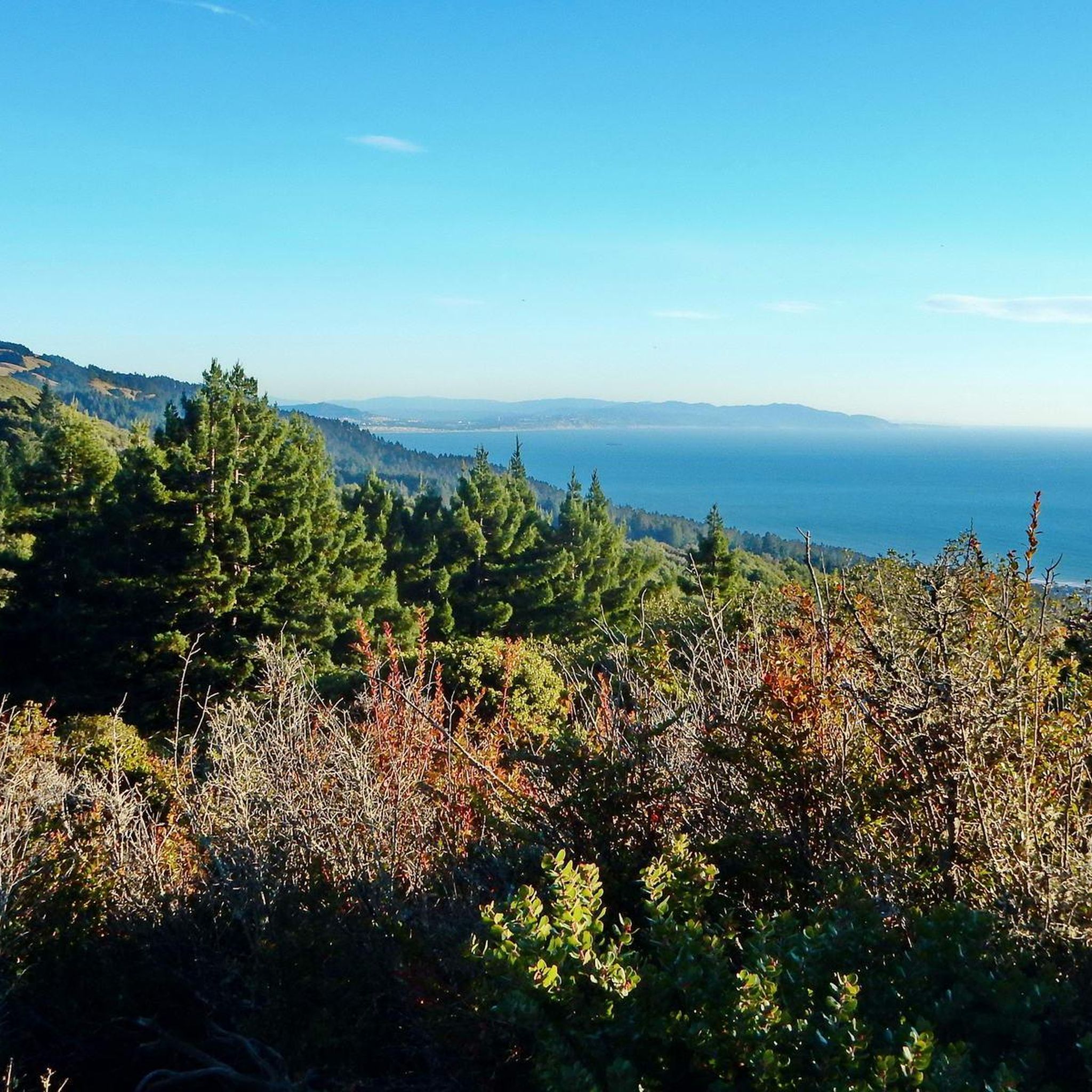
Paved section riding on the ridge between Pan Toll Road and Fairfax-Bolinas Road where it contains as Bolinas Ridge Trail, with spectacular views along the way toward the Pacific Ocean and Stinson Beach far below. The road is open during daylight hours only, in winter that means 9am to sunset.
0
0


Constructed in 1917 this dam forms Alpine Lake, which sites between Kent and Bon Tempe Lakes. The road across the top of the dam make it a great place to ride on a loop around the lake.
0
0
This lake was formed by the building of Alpine Dam in 1917. It sits between Kent Lake and Bon Tempe Lake, and is popular for a variety of outdoor activities.
0
0

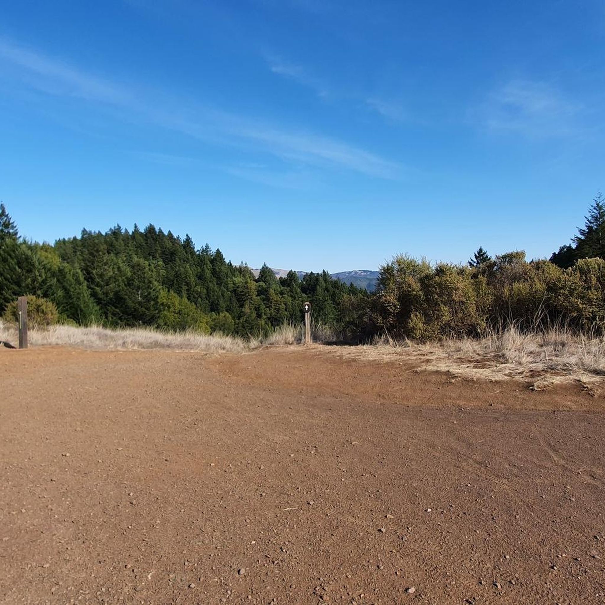
Set beneath the towering trees of Mount Tam, Rock Springs is the perfect jumping-off point for scenic hikes and quiet picnics—where trails, wildlife, and wide-open views begin.
0
0

Good supporter of Marin Biking and nice lot to start your ride from and have a beer after
0
0
Steep heading West can have traffic on SFD
0
0
Frequently Asked Questions
How many road cycling routes are available around Woodacre?
Woodacre offers a diverse network of over 50 road cycling routes. These routes traverse rolling hills, scenic valleys, and rural landscapes, catering to various skill levels.
Are there easy road cycling routes suitable for beginners in Woodacre?
Yes, Woodacre features 13 easy road cycling routes. These routes are generally less demanding, offering a gentle introduction to the region's beautiful scenery without significant elevation gains.
What are some challenging road cycling routes for experienced riders in Woodacre?
For experienced riders seeking a challenge, Woodacre has 11 difficult road cycling routes. An example is the Nick's Cove and Boat Launch – Tomales loop from Woodacre, which covers over 107 km with significant elevation, or the Alpine Lake – Alpine Dam loop from Fairfax, known for its demanding climbs.
What are some of the longer road cycling routes around Woodacre?
If you're looking for longer rides, routes like the Sausalito Path – Nicasio loop from Sausalito extend for nearly 88 km, offering a blend of coastal views and rural roads. The Nick's Cove and Boat Launch – Tomales loop from Woodacre is even longer, at over 107 km.
Can I find loop road cycling routes in Woodacre?
Yes, many of Woodacre's road cycling routes are designed as loops, allowing you to start and finish at the same point. Popular loop options include the Hicks Valley Road Loop and the Fairfax – Cross Marin Trail loop from Marin Civic Center.
What natural attractions can I discover along Woodacre's road cycling routes?
While cycling around Woodacre, you can encounter several natural monuments. Notable sights include the Mount Tamalpais Summits, the unique Pygmy (dwarf) sargent cypress forest, and the expansive Roy's Redwoods Open Space Preserve.
Are there any interesting landmarks or places to explore near Woodacre's road cycling routes?
Beyond natural beauty, you can explore landmarks such as the Old Railroad Grade Trail (upper half) on Mt Tam, or enjoy views from Pantoll Road. The Cross Marin Trail through Samuel P Taylor State Park is also a popular point of interest.
When is the best time of year to go road cycling in Woodacre?
The Woodacre region generally offers pleasant cycling conditions for much of the year. Spring and fall often provide mild temperatures and clear skies, ideal for road cycling. Summer can be warm, while winter might bring rain, though many routes remain accessible.
What do other road cyclists enjoy the most about road cycling in Woodacre?
The road cycling experience in Woodacre is highly rated by the komoot community, with an average score of 4.5 stars from over 70 reviews. Cyclists frequently praise the varied terrain, from rolling hills to scenic valley roads, and the well-maintained rural landscapes.
Where can I park when road cycling in Woodacre?
Parking availability varies depending on your chosen starting point. Many routes begin near towns or trailheads where public parking lots are available. It's advisable to check specific route details for recommended parking areas.
Can I reach Woodacre's road cycling routes by public transport?
While Woodacre itself is a smaller community, some routes may be accessible from larger transit hubs in Marin County. For routes starting further afield, like the Sausalito Path – Nicasio loop from Sausalito, public transport options to the starting point might be available.
Are there places to stop for refreshments along the road cycling routes?
Many road cycling routes in Woodacre pass through or near small towns and communities where you can find cafes, delis, or small stores for refreshments. Planning your route in advance can help identify suitable stops.
Most popular attractions around Woodacre

Get inspired with the komoot mobile app


Explore more
Browse the best Road cycling routes in other regions.
