
The best running trails around Willowbrook
40
runners
8
runs
Jogging routes around Willowbrook offer a variety of urban and suburban running experiences within Los Angeles County. The region features relatively flat terrain, making it suitable for accessible running. Many routes traverse local parks and residential areas, providing opportunities for consistent, low-elevation runs. The landscape is characterized by developed areas interspersed with green spaces and community parks.
Best jogging routes around Willowbrook
- The most popular jogging route is Running loop from Alondra Park, a 3.1 miles (5.0 km) trail that takes 30 minutes to complete. This easy route offers a pleasant run through a local park setting.
- Another top favourite among local runners is Running loop from California State University - Dominguez Hills, a moderate 3.3 miles (5.4 km) path. This route provides a good workout with some slight elevation changes around the university campus.
- Local runners also love the Running loop from Carson, a 4.9 miles (7.9 km) trail leading through suburban areas, often completed in about 1 hour.
- Jogging in Willowbrook is defined by urban green spaces, community parks, and residential streets, with options for various ability levels. The network includes routes ranging from easy loops to more challenging, longer runs.
- The guide includes highly-rated routes that showcase the best of the region's landscape. More than 30 runners have used komoot to explore Willowbrook's varied terrain.
Last updated: June 27, 2026
8
runners
4.97km
00:31
10m
10m
The Running loop from Alondra Park offers a delightful escape into nature, even within an urban setting. You'll jog along well-maintained paths that meander through extensive meadow lawns and woodlands, providing a tranquil environment. The highlight is an urban lake featuring a native plant island, which serves as a haven for local wildlife and migratory birds, adding a scenic touch to your run.
This easy 3.1-mile (5.0 km) route has a minimal elevation gain of just 29 feet (9 metres), making it incredibly flat and accessible for all. It takes approximately 30 minutes to complete, perfect for a quick, invigorating workout. The park provides ample parking, and its proximity to El Camino College makes it a convenient spot for a run.
Alondra Park is a sprawling 203.1-acre green space in Lawndale, recognized as the largest park closest to the ocean and the beach cities of Manhattan, Hermosa, and Redondo Beach. Beyond its running loops, the park boasts a golf course, various sports courts, a swimming pool, and picnic sites, making it a true community hub.
6
runners
5.36km
00:35
40m
40m
The Running loop from California State University - Dominguez Hills offers a refreshing escape into a green campus environment, perfect for a quick and easy jog. You'll navigate well-maintained, largely flat paths that wind through landscaped areas, providing a pleasant urban green space experience. With only 141 feet (43 metres) of elevation gain over 3.3 miles (5.4 km), this route is ideal for those seeking a consistent, low-impact run, perhaps exploring the Central Campus Loop or East Loop sections.
Planning your visit to these jogging routes near CSU Dominguez Hills is straightforward. The campus location near Carson, California, makes it easily reachable, and parking is typically available on university grounds, though checking for specific regulations or event-related closures is a good idea. This easy running loop is best enjoyed during daylight hours, and you should bring water, especially if you're running during warmer parts of the day.
What makes this running loop CSUDH campus special is its accessibility and the pleasant, green setting it provides within an urban area. It's a popular choice among the local running community, evidenced by its positive ratings, offering a reliable and enjoyable option for a moderate 34-minute workout. Whether you're a beginner or just looking for a convenient, easy running loop, this campus trail delivers a consistent and enjoyable experience.

Sign up for free
3
runners
17.0km
01:45
20m
20m
The Running loop from Bell Gardens offers a substantial urban jogging experience, taking you through various city parks and landscapes on primarily paved surfaces. This route is a top favorite among local runners who appreciate its extensive nature, providing a comprehensive tour of the area rather than just a quick sprint. You'll find yourself exploring different facets of Bell Gardens, including accessible green spaces and potentially sections near the Rio Hondo River, making for a varied and engaging run.
Planning your visit for this difficult 10.6-mile (17.0 km) loop, which takes about 1 hour and 44 minutes, means preparing for a long effort. With only 71 feet (22 metres) of elevation gain, the challenge comes from the distance rather than steep climbs. While specific parking isn't noted, you can access the loop from various points within Bell Gardens. Starting early in the day is advisable to beat the heat and city activity, especially if you're tackling this route in warmer months.
This particular running loop stands out in Bell Gardens for its significant length, offering an extensive running experience that goes beyond shorter, easier options. The city itself is known for its well-maintained parks, such as John Anson Ford Park and Veterans Park, which contribute to the green infrastructure you'll encounter. It's a testament to the local commitment to outdoor activities, providing a challenging yet rewarding route for those with very good fitness.
3
runners
5.66km
00:35
10m
0m
Moderate run. Good fitness required. Mostly paved surfaces. Suitable for all skill levels.
6
runners
3.97km
00:24
10m
10m
This easy running loop from Lawndale offers a quick and accessible jogging experience, perfect for those seeking a low-impact workout in the area. Unlike the more rugged Lawndale Trail in Annadel State Park with its "rock gardens galore" and diverse forest scenery, this route focuses on a straightforward, local path. It's an ideal option for a casual outing or a beginner running loop, providing a gentle introduction to local running routes Lawndale CA.
Planning your visit to this Lawndale jogging loop is simple, as it's designed for convenience. You can easily access the start point in Lawndale, California, with local parking readily available. There are no permits or fees required, making it a hassle-free choice for a spontaneous 24-minute run. Consider heading out in the morning or late afternoon for cooler temperatures, especially during warmer months.
While this specific route is a short 2.5-mile (4.0 km) loop with only 23 feet (7 metres) of elevation gain, it serves as a great local option for daily exercise. Its easy difficulty makes it family friendly jogging Lawndale, suitable for all ages and fitness levels. This route provides a reliable option for those looking for easy running loops Lawndale, offering a consistent surface for your workout.
Get access to more routes and recommendations from other explorers.
Sign up for free
Already have an account?
Our route recommendations are based on thousands of hikes, rides, and runs completed by other people on komoot.
Start today with a free account
Your next adventure awaits.
Login or Signup
Popular around Willowbrook

Frequently Asked Questions
How many running routes are available in Willowbrook?
Komoot currently features 7 distinct running routes in the Willowbrook area. These routes offer a variety of urban and suburban running experiences, catering to different preferences and fitness levels.
What is the typical terrain and elevation like for jogging in Willowbrook?
Jogging routes in Willowbrook, Los Angeles County, are generally characterized by relatively flat terrain. You'll find paths traversing local parks, community green spaces, and residential areas. While most routes have low elevation changes, some, like the Running loop from California State University - Dominguez Hills, offer slight elevation variations for a more dynamic workout.
Are there any easy or beginner-friendly running routes in Willowbrook?
Yes, Willowbrook offers several accessible options for beginners. The Running loop from Alondra Park is an excellent choice, classified as easy and providing a pleasant run through a local park setting. Its flat profile makes it ideal for those new to running or looking for a relaxed pace.
Can I find longer running routes, perhaps around 10k, in the Willowbrook area?
While many routes are shorter, there are options for longer runs. The Running loop from Bell Gardens is a more challenging option, extending to approximately 17 kilometers (over 10 miles), suitable for those looking for a significant distance.
Are there any circular running routes available?
Many of the running paths in Willowbrook are designed as loops, offering convenient circular routes. For example, the Running loop from Carson provides a circular path through suburban areas, perfect for a continuous run without retracing your steps.
What kind of natural features or landmarks can I expect to see while running?
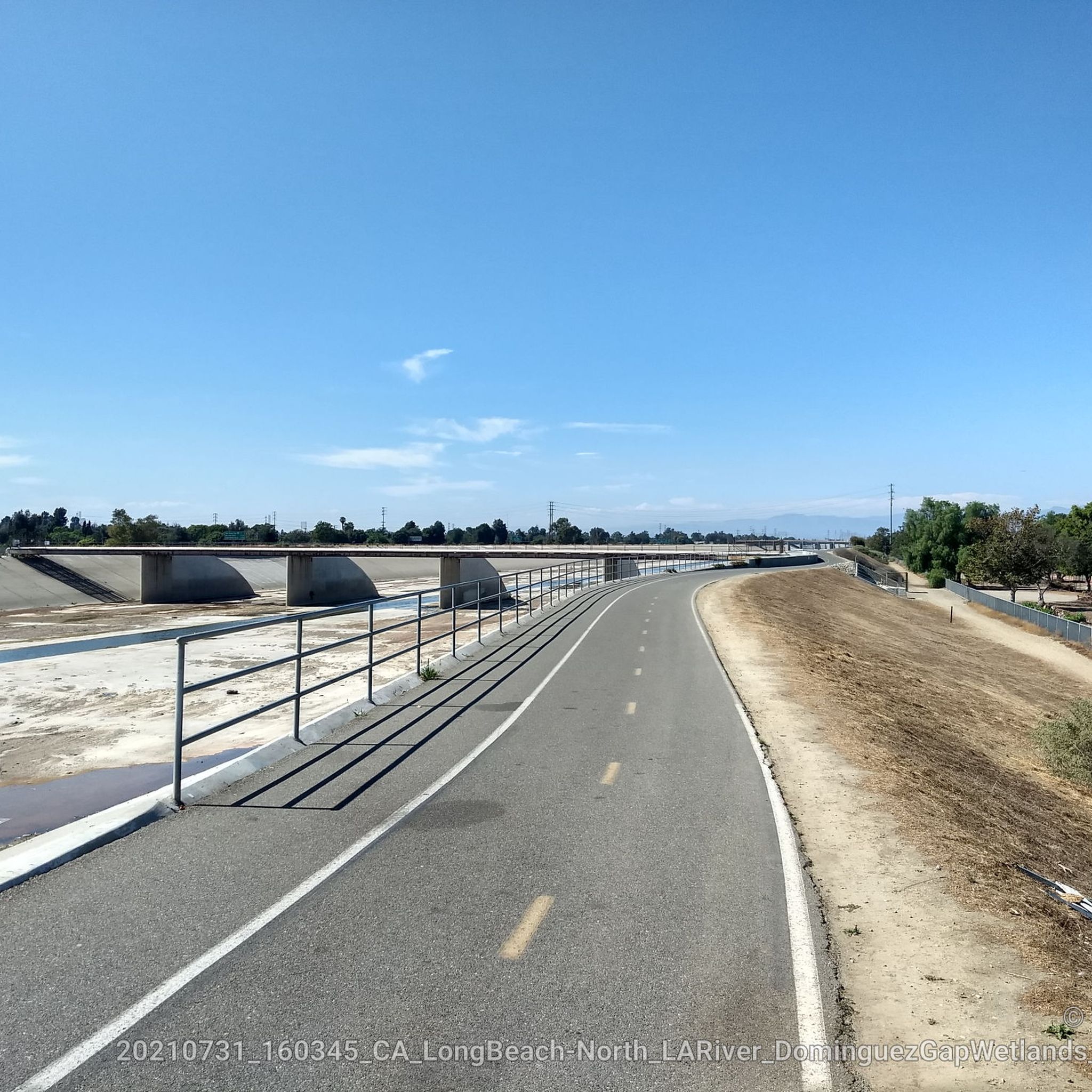
Willowbrook's running routes are interspersed with urban green spaces and community parks. While the region is developed, you can enjoy local park settings and some routes may pass by interesting infrastructure. For instance, you might encounter features like the Rio Hondo Bike Bridge or sections of the Los Angeles River Greenway, offering a mix of urban and natural views.
Are the running routes in Willowbrook suitable for families?
Yes, many of the routes, particularly those within local parks like the Running loop from Alondra Park, are suitable for families. Their easy difficulty and flat terrain make them accessible for all ages, providing a pleasant environment for a family jog or walk.
Are dogs allowed on the running trails in Willowbrook?
Dog policies can vary by specific park or trail. Generally, dogs on a leash are permitted in many public parks and on multi-use paths in Los Angeles County. It's always best to check local signage or the specific park's regulations before heading out with your furry friend.
Is parking available near the running routes?
Given the urban and suburban nature of Willowbrook, parking is generally available near many of the starting points for running routes, especially those located within community parks or near university campuses. Look for designated parking areas at parks or street parking in residential zones.
How accessible are the running routes by public transport?
Willowbrook is part of Los Angeles County, which has an extensive public transportation network. Many routes, particularly those starting from community parks or near institutions like California State University - Dominguez Hills, are often accessible via local bus services. Planning your route with a public transport app can help identify the best connections.
What is the best season for running in Willowbrook?
Willowbrook, being in Southern California, enjoys a mild climate year-round. Spring and fall offer particularly pleasant temperatures for running. Summers can be warm, so early morning or evening runs are recommended, while winters are generally mild and suitable for outdoor activity.
What do other runners say about the routes in Willowbrook?
The komoot community actively explores Willowbrook, with over 30 runners having used komoot to discover the area's varied terrain. Users often appreciate the accessibility of the routes and the opportunities for consistent, low-elevation runs within urban green spaces.
Are there any less crowded running options in Willowbrook?
While Willowbrook is a developed area, you can often find quieter times for running by choosing off-peak hours, such as early mornings or late afternoons on weekdays. Exploring routes that traverse smaller community parks or residential streets, like the Running loop from Lakewood Boulevard, might offer a more serene experience compared to larger, more popular parks during busy times.
Most popular routes around Willowbrook
Most popular attractions around Willowbrook

Get inspired with the komoot mobile app


Explore more
Browse the best Running Trails & Routes in other regions.
