The best walks and hikes around Lauenhagener Lake
4.5
(83)
306
hikers
34
hikes
Hiking around Lauenhagener Lake reveals a landscape primarily recognized as a nature reserve, located in the Vorpommern-Greifswald district of Mecklenburg-Vorpommern, Germany. This area is ecologically significant, characterized by its designation as a nature reserve in 1993 following the reflooding of the lake. The terrain was shaped by the last ice age, forming from a dead-ice hollow within a meltwater channel, and historically developed into a fen with thick peat layers.
Best hiking trails around Lauenhagener Lake
- The most popular hiking…
Last updated: July 12, 2026
4.0
(1)
2
hikers
Moderate hike. Good fitness required. Easily-accessible paths. Suitable for all skill levels.
4.5
(4)
26
hikers
Easy hike. Great for any fitness level. Easily-accessible paths. Suitable for all skill levels.

Sign up for free
3
hikers
5.76km
01:32
60m
60m
Easy hike. Great for any fitness level. Easily-accessible paths. Suitable for all skill levels.
4.7
(6)
14
hikers
Moderate hike. Good fitness required. Easily-accessible paths. Suitable for all skill levels.
4.5
(4)
19
hikers
Easy hike. Great for any fitness level. Easily-accessible paths. Suitable for all skill levels.
Get access to more routes and recommendations from other explorers.
Sign up for free
Already have an account?
Our route recommendations are based on thousands of hikes, rides, and runs completed by other people on komoot.
Start today with a free account
Your next adventure awaits.
Login or Signup
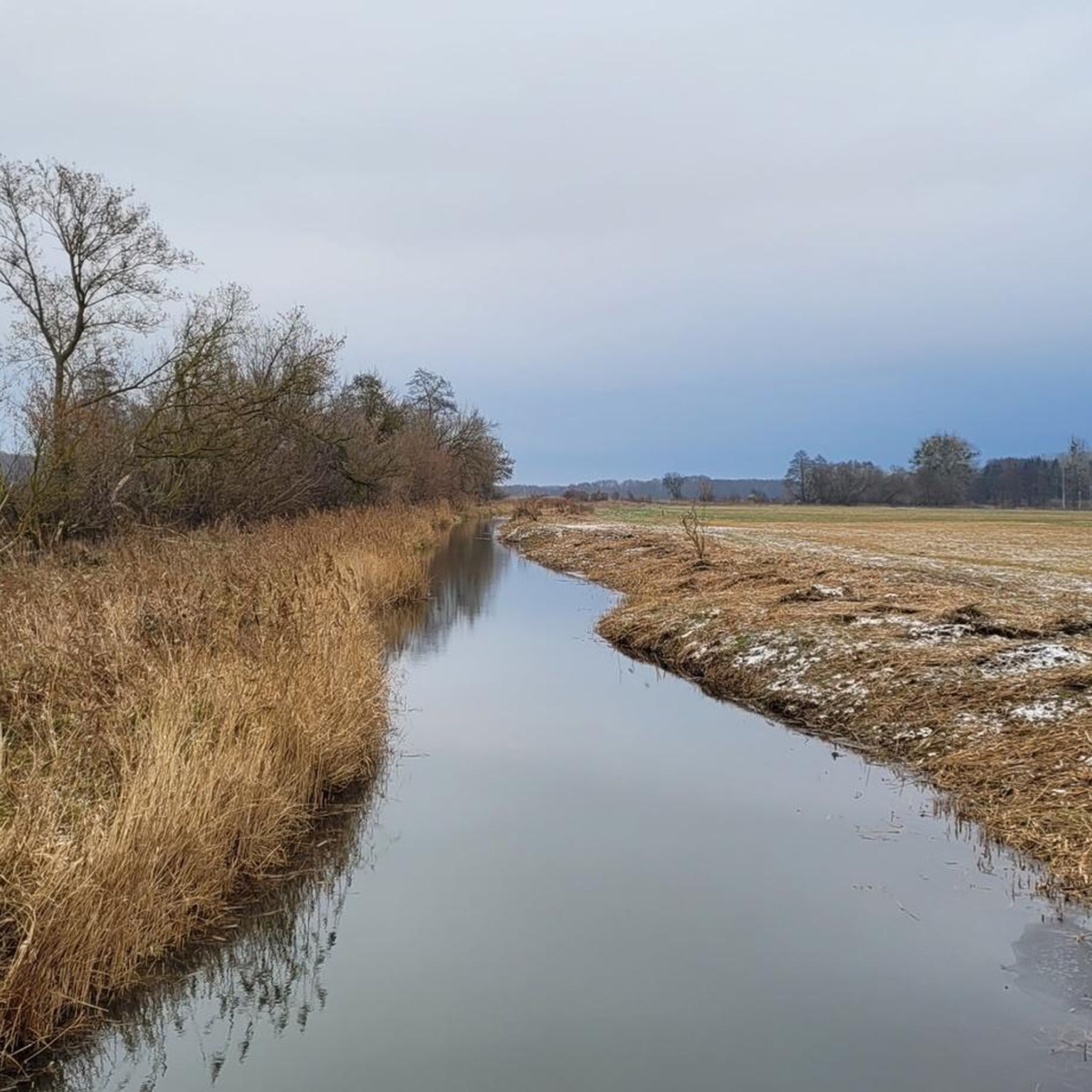
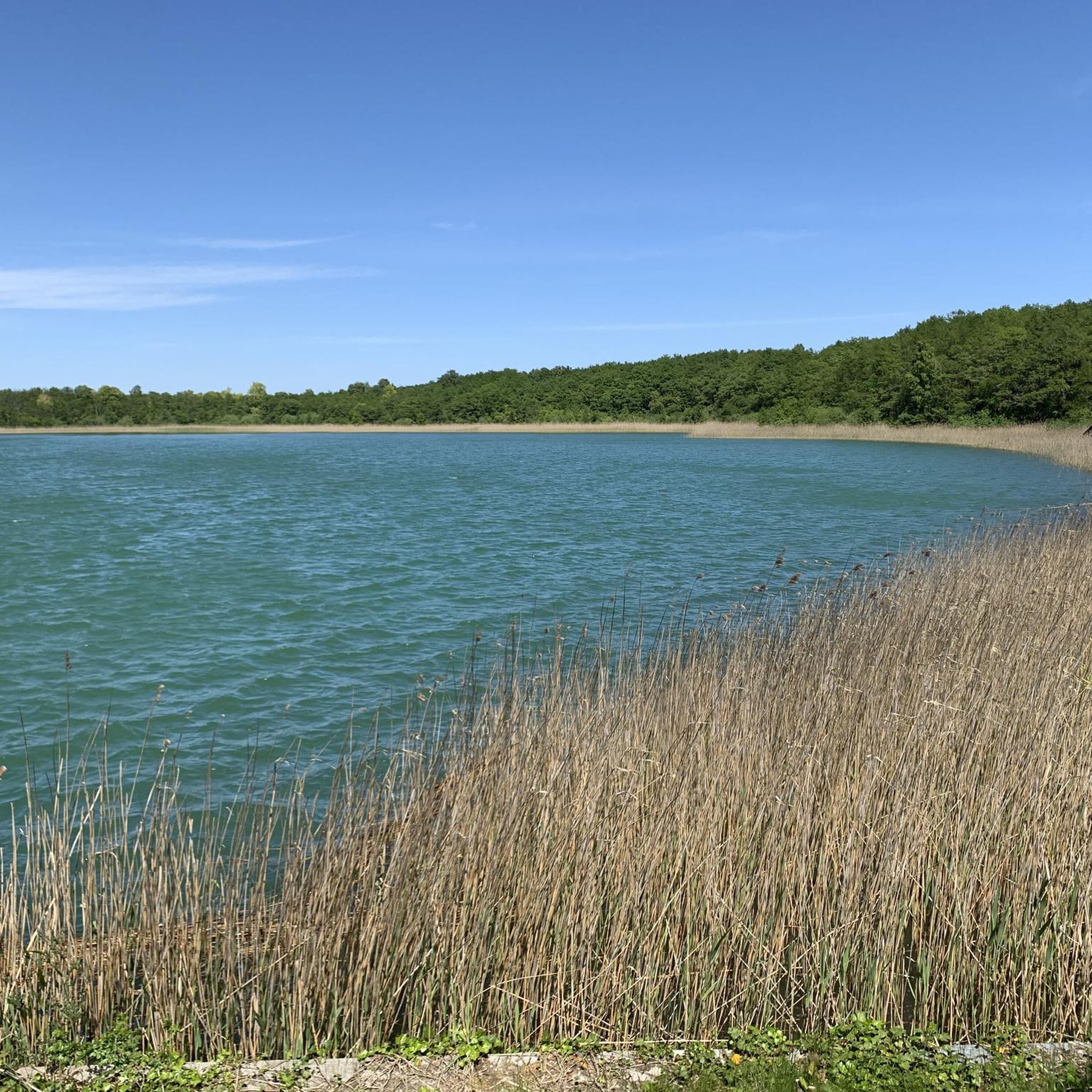
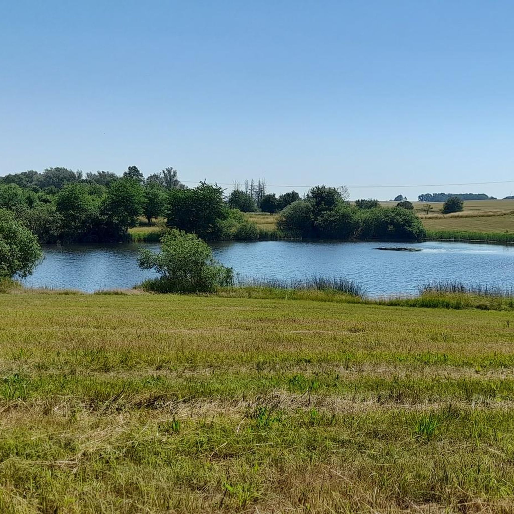
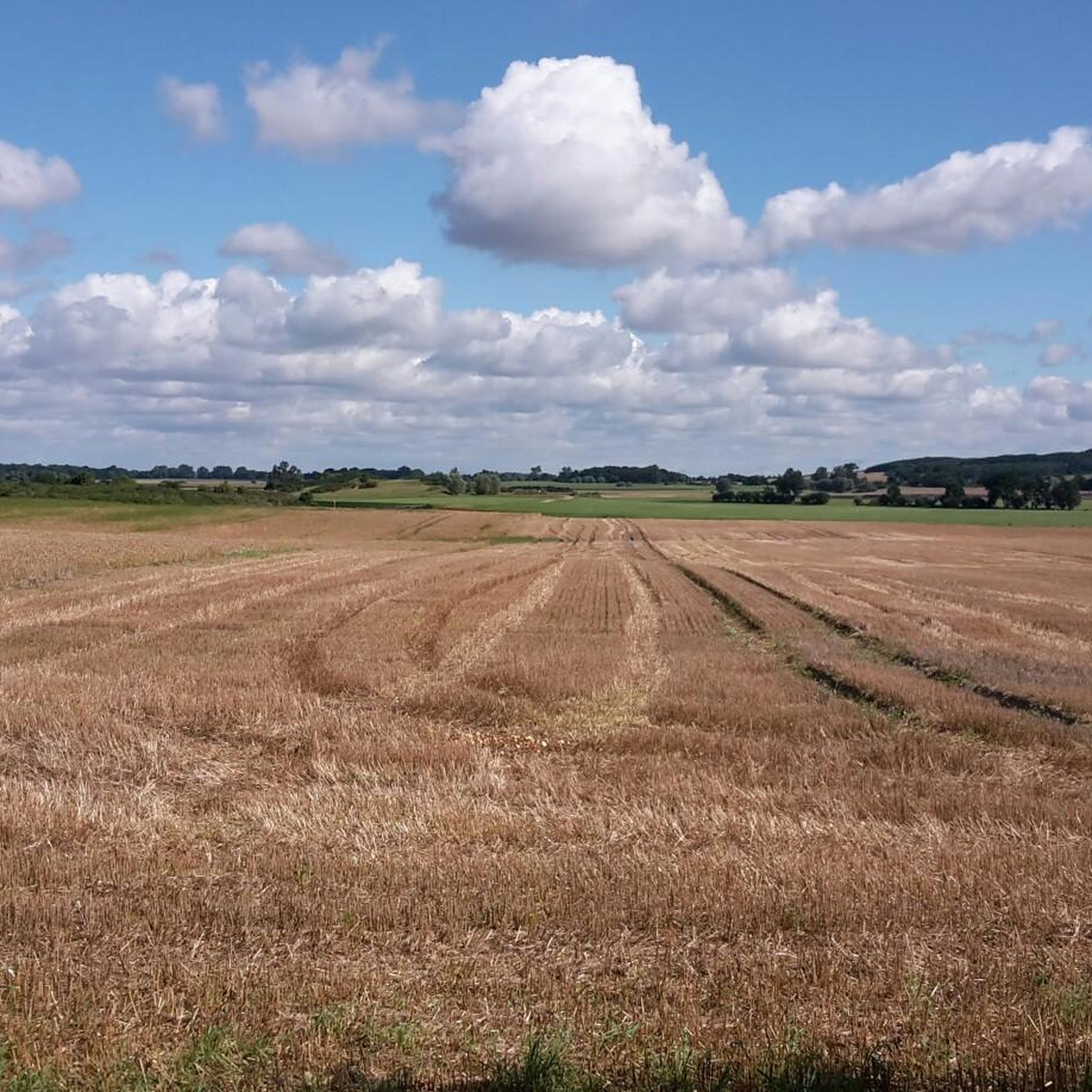
Tips from the Community

The jetty extends far enough into the lake to provide a beautiful panoramic view.
0
0

A huge boulder was used in the Tile Bridge, and the following story is told: When the Prussian King Frederick William III was once staying at the castle in Wolfshagen, Hermann von Schwerin presented this boulder to the king. The king wanted to have it made into a giant bowl for the luxurious garden in Berlin. Unfortunately, the boulder could not be transported because it was too heavy. Therefore, it was blown up and the pieces were used to create the Tile Bridge.
0
0
In the border region fought over by Brandenburg, Mecklenburg and Pomerania, the von Raven family built this castle in 1250, which fell to the Lords of Blankenburg 30 years later! The keep still stands 24 meters high. I would have loved to climb the tower! But I was still able to take a look at the surroundings with my drone!
0
0

Massive and great observation tower with a wonderful view of the valleys. It is particularly beautiful to see when the flowers are in bloom.
5
0

The castle, a typical border castle, is named after a Uckermark noble family who owned it from the 14th to the 17th century. had in possession, referred to as “Blankenburg”. The castle ruins lie on an artificially created castle hill about 4 m high. The castle hill is approximately rectangular and surrounded by an 8 m wide moat. The partially preserved curtain wall enclosed an area of approx. 36 x 28 m. Remains of a building (gate tower?) protruding from the western curtain wall can still be seen. The high corner tower with a round superstructure is located on the SW corner of the Bering. The keep is also called the Fangelturm.
0
0

It's nice when such "giant trees" can remain lying and be integrated into an educational trail.
1
0

Very nice hiking trail through nature. We were almost alone on the hike.
5
0

Although interesting, unfortunately there are no information boards
2
0
Frequently Asked Questions
How many hiking trails are available around Lauenhagener Lake?
There are 35 hiking routes available around Lauenhagener Lake. These include 21 easy trails and 14 moderate options, offering a variety of experiences for different fitness levels.
Are there any easy or family-friendly hiking trails in the Lauenhagener Lake area?
Yes, the region offers 21 easy hiking trails, many of which are suitable for families. An excellent option is the Memorial Stone Franzosenweg – Pier on Stadtsee loop from Strasburg (Uckermark), an easy 3.0-mile path that takes about 1 hour 15 minutes to complete.
What is the best time of year to go hiking around Lauenhagener Lake?
As a nature reserve, Lauenhagener Lake offers unique natural beauty throughout the year. While specific tourist infrastructure is limited, the area's ecological significance means that spring and summer provide lush greenery and active wildlife, while autumn brings vibrant colors. Winter hikes are possible, but be prepared for potentially undeveloped trails and lack of facilities.
Are dogs allowed on the hiking trails near Lauenhagener Lake?
While the area is a nature reserve, specific regulations regarding dogs on trails are not explicitly stated. Generally, dogs are permitted on public paths in nature reserves, but they should always be kept on a leash to protect local wildlife and ensure their safety. Please be mindful of the natural environment.
Are there any circular hiking routes around Lauenhagener Lake?
Yes, many of the trails around Lauenhagener Lake are designed as loops. For example, the Matzdorf Communication Tower – Wooden Gazebo Rest Area loop from Matzdorf is a moderate 6.2-mile circular route, and the Hiking loop from Matzdorf is an easy 3.6-mile option.
What kind of landscape can I expect to see while hiking near Lauenhagener Lake?
The landscape around Lauenhagener Lake is defined by its status as a nature reserve. It was shaped by the last ice age, featuring a meltwater channel and a historical fen with thick peat layers. You'll encounter natural, undeveloped areas, reflecting ongoing efforts for ecological conservation and restoration. A path in the southern part offers insights into this unique environment.
Are there any viewpoints or notable natural features along the trails?
While there are no designated tourist viewpoints with facilities, the entire area is ecologically significant. The lake itself, reflooded in 1991, is the central feature. The natural landscape, shaped by glacial history and its development as a fen, offers subtle beauty and opportunities for observing local flora and fauna, particularly along the path in the southern part of the reserve.
What do other hikers say about the trails around Lauenhagener Lake?
The routes in Lauenhagener Lake are highly rated by the komoot community, with an average score of 4.5 stars from over 80 reviews. Hikers often appreciate the quiet, natural surroundings and the opportunity to explore an ecologically significant area.
Is there public transport available to reach the hiking areas around Lauenhagener Lake?
Information regarding direct public transport links to the immediate hiking areas around Lauenhagener Lake is limited. Given its status as a nature reserve with minimal tourist infrastructure, reaching the trailheads typically requires personal transportation. It's advisable to check local bus schedules for nearby towns like Schönhausen or Matzdorf and plan accordingly.
Are there any cafes or restaurants near the hiking trails?
Due to its designation as a nature reserve with limited tourist potential, there are no public facilities such as cafes or restaurants directly within the Lauenhagener Lake hiking area. Visitors should plan to bring their own refreshments and snacks. You may find dining options in nearby towns.
Where can I find parking for hiking around Lauenhagener Lake?
Specific designated parking areas for hikers are not widely advertised for Lauenhagener Lake, as it is primarily a nature reserve with limited infrastructure. If driving, look for suitable, respectful parking spots in nearby villages like Matzdorf, ensuring you do not obstruct local access or private property.
Are there any challenging hikes in the Lauenhagener Lake region?
The Lauenhagener Lake area primarily offers easy and moderate hiking routes. There are no trails classified as difficult. The most challenging options are moderate routes like the Blankenburg Castle Ruins – Fliesenbrücke loop from Mildenitz, which covers 6.7 miles with some elevation changes.
Most popular routes around Lauenhagener Lake

Get inspired with the komoot mobile app


Explore more
Browse the best Hikes in other regions.
