The best running trails around Tahoe Vista
4.0
(1)
298
runners
12
runs
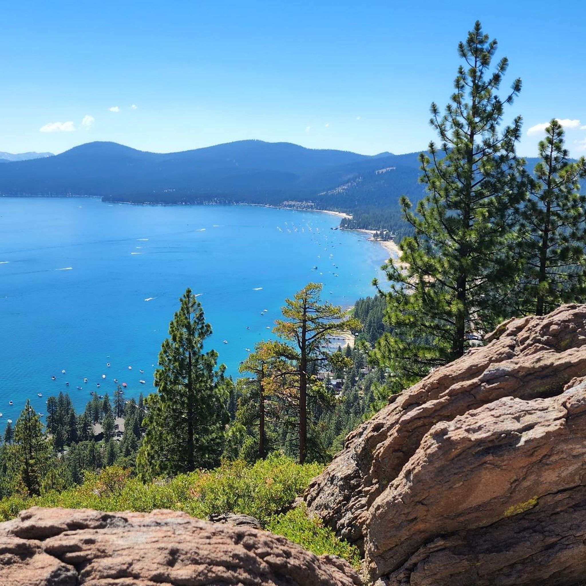
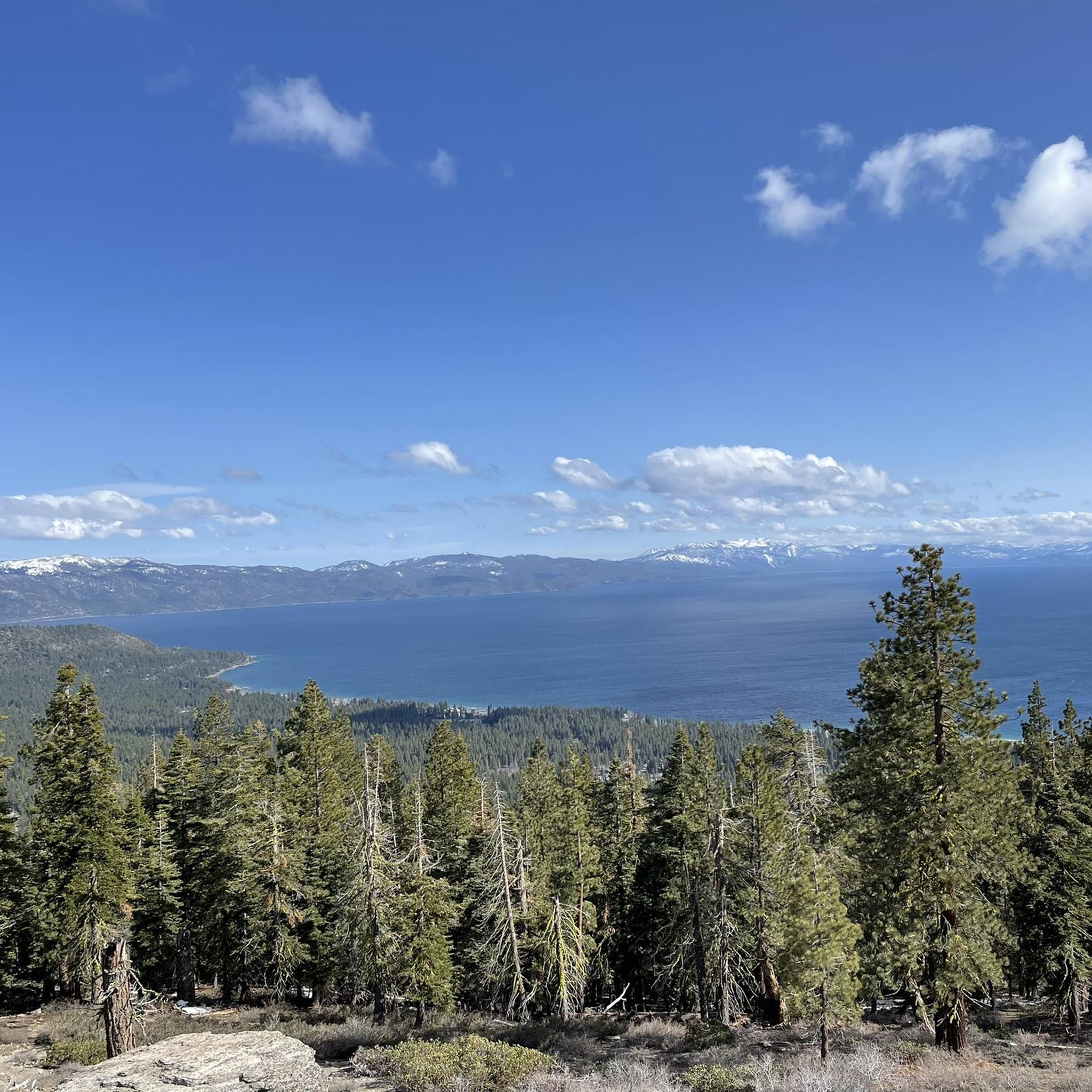
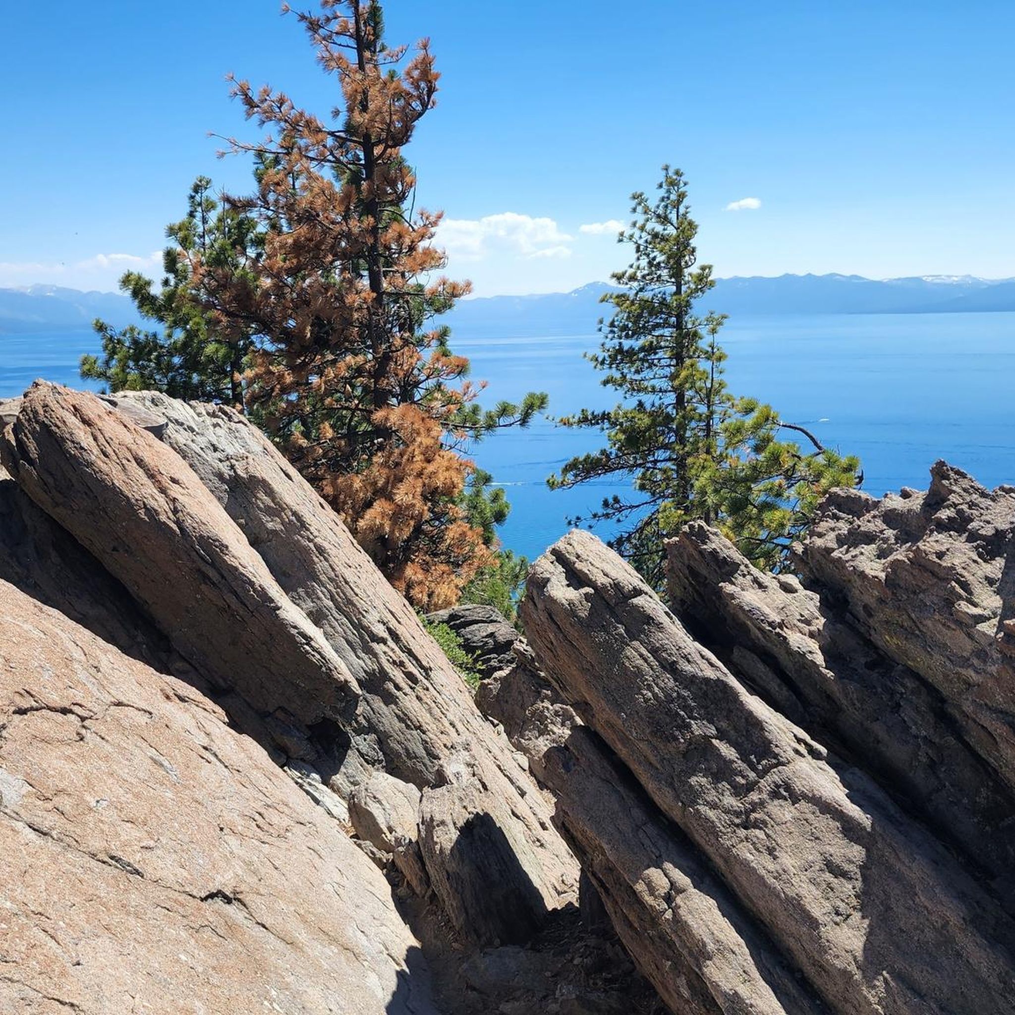
Jogging around Tahoe Vista offers diverse running experiences amidst the natural landscapes of the North Shore of Lake Tahoe. The region is characterized by the clear waters of Lake Tahoe, sandy beaches, dense forests, and open meadows, set against the backdrop of the Sierra and Carson mountain ranges. The terrain generally features hilly sections, with a base altitude around 6,200 feet, providing varied challenges for runners.
Best jogging routes around Tahoe Vista
- The most popular jogging route is Tahoe Rim…
Last updated: October 10, 2026
9
runners
4.60km
00:40
210m
210m
The Tahoe Rim Trail to Picnic Rock offers a moderate jogging experience through beautiful mixed pine forests. You will cover 2.9 miles (4.6 km) with an elevation gain of 683…
7.26km
00:50
140m
140m
Lace up for the Kings Beach to Beaver Tail Trail loop, a moderate jogging route spanning 4.5 miles (7.3 km) with 444 feet (135 metres) of elevation gain. You can…

1
runners
4.81km
00:33
50m
50m
Jog the 3.0 miles (4.8 km) Pam Emmerich Memorial Pinedrop Trail Loop, a difficult route with 158 feet (48 metres) of gain in North Tahoe Reg
1
runners
12.5km
01:42
380m
380m
Jog the difficult 7.8-mile Tahoe Rim Trail from Brockway Summit to Gold Star Peak, gaining 1234 feet with panoramic Lake Tahoe views.
16.2km
02:04
540m
540m
Jog the Martis Peak Loop via Tahoe Rim Trail for a difficult 10-mile route with 1762 feet of elevation gain and panoramic Lake Tahoe views.
Get access to more routes and recommendations from other explorers.
Already have an account?
Our route recommendations are based on thousands of hikes, rides, and runs completed by other people on komoot.
Start today with a free account
Your next adventure awaits.

Tips from the Community

Mantis Peak Road is a paved road ending at Mantis Peak Lookout. Another way to get to the peak is via the Tahoe Rim Trail. This path is not only used by runners but also by bikers, hikers, and cars, so keep your head on a swivel.
0
0
Beaver Tail Trail in Kings Beach was once known as the Kings Beach Trail. It is a multi-use trail for runners, hikers, and mountain bikers, so be aware while running through the woods, and don't forget to take in the views of Lake Tahoe along the trail.
0
0
The Pam Emmerich Memorial Pinedrop Trail is a trail that starts at North Tahoe Regional Park and ends at Pinedrop Lane. It is paved and makes for a smooth run.
0
0

The Tahoe Rim Trail is a 170-mile-long trail that circles Lake Tahoe. It is a popular route, so there is a good chance you will see others out enjoying the trails.
0
0
North Tahoe Regional Park is a popular spot for hiking, running and mountain biking, with many trails to choose from. There are also two playgrounds, picnic areas and restrooms.
1
0

On this beautiful section between Watson Lake and Brockway Summit, the trail winds between meadows and forests. A few openings between the trees allow you to admire Lake Tahoe below.
0
0
Mantis Peak Lookout is the spot of a fire lookout built in 1914. There are several routes up to the top and are definitely worth the effort for the great views from the lookout.
1
0
From Picnic Rock, we have an incredible view of Lake Tahoe! It's a really nice spot, perfect for a short break.
0
0
Frequently Asked Questions
How many running routes are available in Tahoe Vista?
There are over 10 dedicated running routes around Tahoe Vista, offering a variety of experiences from easy jogs to more challenging trail runs. The komoot community has explored these trails nearly 300 times.
Are there easy running trails suitable for beginners in Tahoe Vista?
Yes, Tahoe Vista offers several easy running trails perfect for beginners or those looking for a relaxed jog. The North Tahoe Regional Park loop is an excellent option, an easy 2.5-mile trail through shaded forests. The paved Pam Emmerich Memorial Pinedrop Trail, also starting at North Tahoe Regional Park, provides a smooth surface for an easier run.
What are some challenging running routes in Tahoe Vista?
For runners seeking a challenge, Tahoe Vista has several difficult routes. The Tahoe Rim Trail: Brockway Summit to Gold Star Peak is a demanding 7.8-mile run with significant elevation gain and panoramic lake views. The region's base altitude of 6,200 feet also adds to the challenge on many trails.
Are there any loop running trails in Tahoe Vista?
Yes, many of the running routes in Tahoe Vista are loops, providing varied scenery without retracing your steps. Popular options include the Kings Beach to Beaver Tail Trail loop, a moderate 4.5-mile path with diverse terrain, and the North Tahoe Regional Park loop.
What kind of scenic viewpoints can I expect on Tahoe Vista running routes?
Tahoe Vista's running routes offer breathtaking scenic viewpoints, primarily featuring Lake Tahoe's crystal-clear waters and the surrounding Sierra and Carson mountain ranges. Many trails provide panoramic vistas, such as those found along sections of the Tahoe Rim Trail. You can also find specific viewpoints like Memorial Point Overlook and Picnic Rock.
Are there dog-friendly running routes in Tahoe Vista?
Many trails in Tahoe Vista and the surrounding North Lake Tahoe area are dog-friendly, especially within the North Tahoe Regional Park which even features a dedicated dog park. Always check specific trail regulations for leash requirements and any seasonal restrictions before heading out with your furry friend.
What is the best time of year to go jogging in Tahoe Vista?
The best time for jogging in Tahoe Vista is typically from late spring through early fall. By June, most of the snow has cleared, revealing beautiful wildflowers and offering ideal trail conditions. Summer provides warm weather, while fall brings cooler temperatures and vibrant foliage. Winter running is possible, but many trails will be snow-covered and require appropriate gear.
Are there family-friendly running trails in Tahoe Vista?
Yes, Tahoe Vista offers family-friendly running options. The North Tahoe Regional Park loop is an easy, shaded trail suitable for families. The paved Tahoe East Shore Trail, while a short drive away, is also an excellent, flat option with continuous lake views, perfect for a leisurely family run.
Are there running routes with good parking access in Tahoe Vista?
Many popular running routes in Tahoe Vista, especially those within the North Tahoe Regional Park, offer convenient parking facilities. The Tahoe Vista Recreation Area also provides parking, serving as a starting point for lakeside jogs. For trails like the Tahoe Rim Trail, specific trailheads such as Brockway Summit have designated parking areas.
What natural attractions can I see while running in Tahoe Vista?
While jogging in Tahoe Vista, you'll be immersed in stunning natural beauty. Beyond the iconic Lake Tahoe itself, you can encounter dense forests, open meadows, and the majestic Sierra Nevada mountains. Specific natural highlights include Painted Rock and various viewpoints offering expansive vistas of the lake and surrounding landscape.
What are the typical lengths of running trails in Tahoe Vista?
Running trails in Tahoe Vista vary significantly in length. You can find shorter, easy loops like the Tahoe Rim Trail to Picnic Rock at 2.9 miles (4.6 km), or moderate options such as the Kings Beach to Beaver Tail Trail loop at 4.5 miles (7.3 km). For longer runs, sections of the Tahoe Rim Trail can extend for many miles, offering challenging distances.
Most popular attractions around Tahoe Vista

Get inspired with the komoot mobile app


Explore more
Browse the best Running Trails & Routes in other regions.
