The best road cycling routes around Sunnyside-Tahoe City
4.3
(7)
972
riders
29
rides
Road cycling routes around Sunnyside-Tahoe City navigate the western shores of Lake Tahoe, offering diverse terrain for cyclists. The region features a mix of lakeside roads, river valleys, and climbs into the surrounding Sierra Nevada foothills. Cyclists can expect routes that follow the Truckee River and provide views of the expansive lake. The landscape includes pine forests and open areas, with elevations generally below 200 meters, classifying them as hills rather than peaks.
Best road cycling routes around Sunnyside-Tahoe City
…Last updated: October 11, 2026
5.0
(3)
137
riders
64.6km
02:55
660m
670m
Embark on the Lookout Mountain loop, a moderate racebike route spanning 40.1 miles (64.6 km) with a significant elevation gain of 2174 feet (663 metres). You can expect to complete…
41
riders
84.2km
03:52
720m
720m
The Tahoe-Pyramid Bikeway and Donner Pass Loop offers a dynamic road cycling experience, transitioning from riverside paths along the Truckee River to the dramatic alpine scenery of the Sierra Nevada.…

34
riders
68.1km
02:58
560m
560m
Moderate road ride. Good fitness required. Mostly well-paved surfaces and easy to ride.
64
riders
49.9km
02:08
350m
350m
Moderate road ride. Good fitness required. Some segments of this route may be unpaved and difficult to ride.
61
riders
78.7km
03:25
630m
630m
Moderate road ride. Good fitness required. Mostly well-paved surfaces and easy to ride.
Get access to more routes and recommendations from other explorers.
Already have an account?
Our route recommendations are based on thousands of hikes, rides, and runs completed by other people on komoot.
Start today with a free account
Your next adventure awaits.

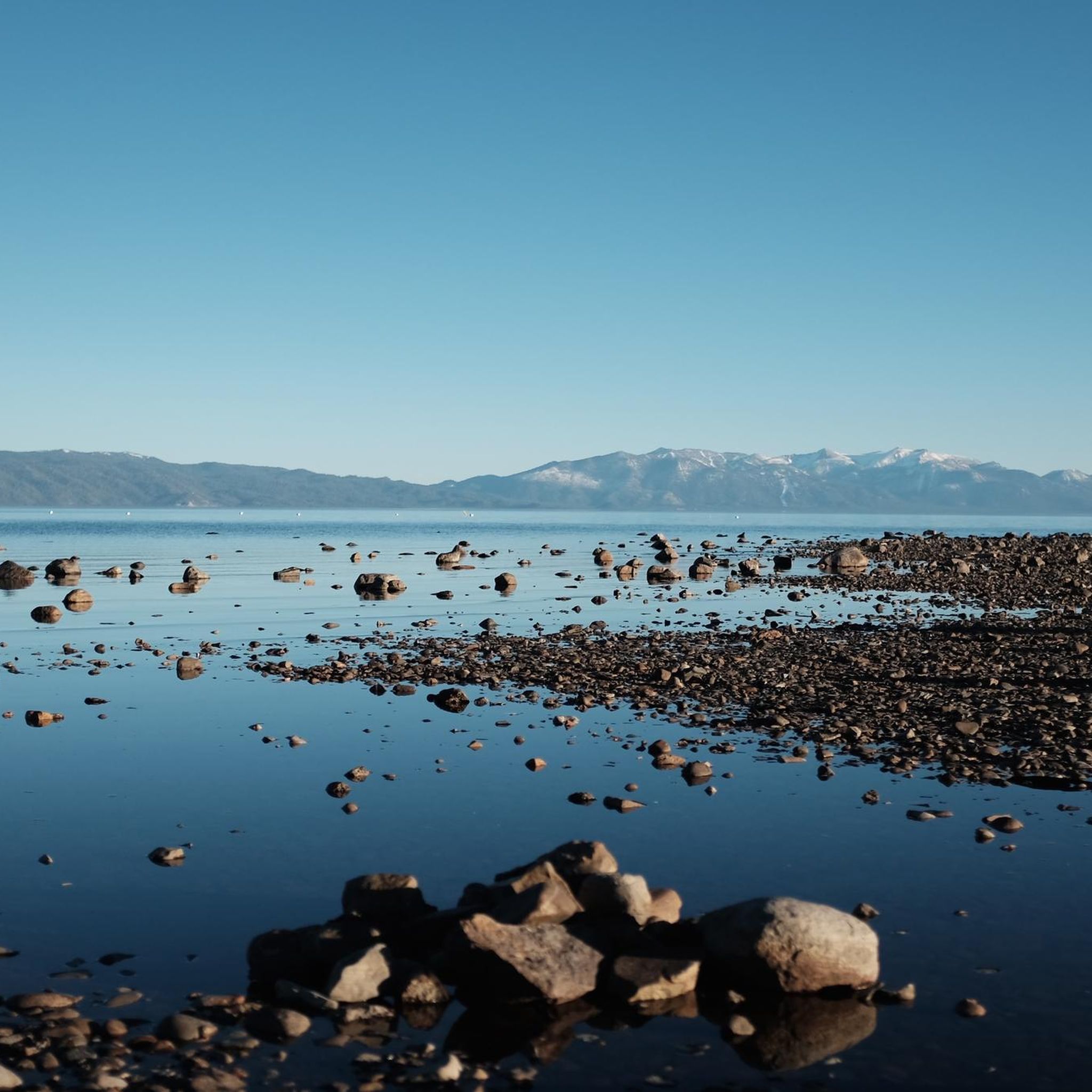
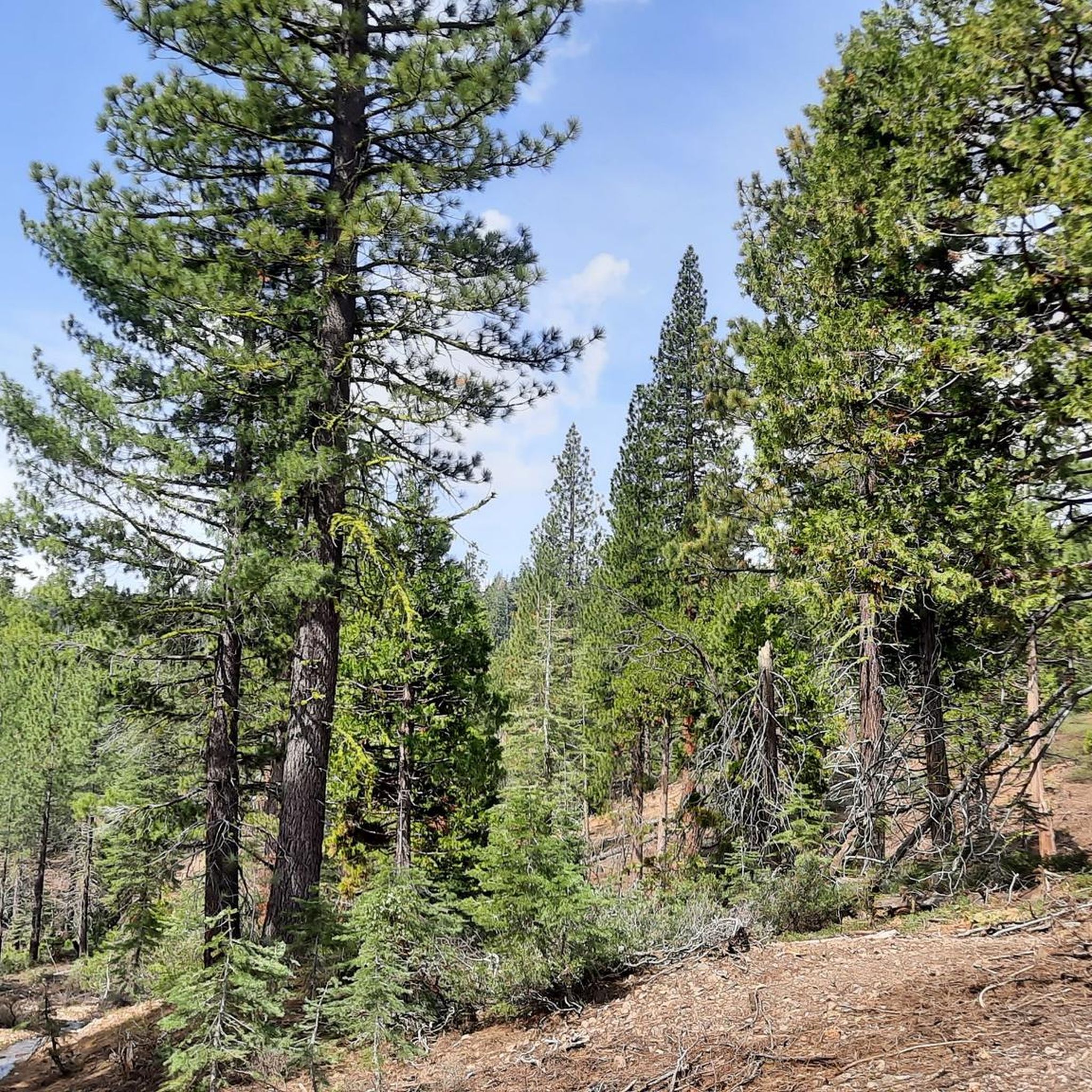
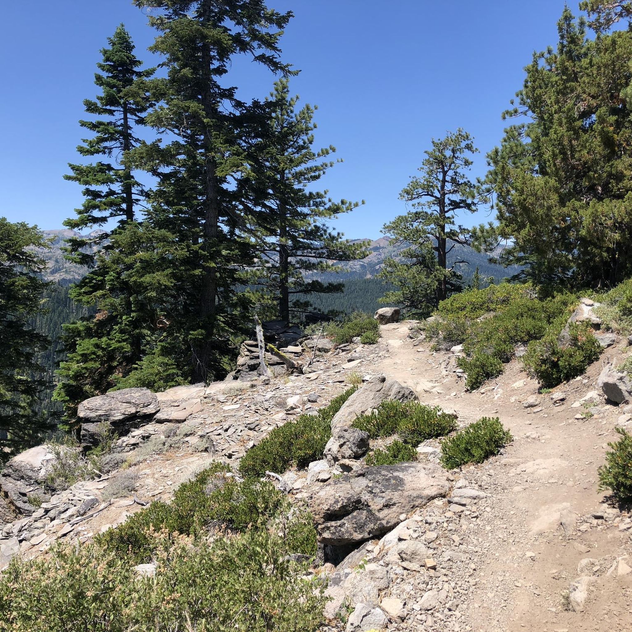
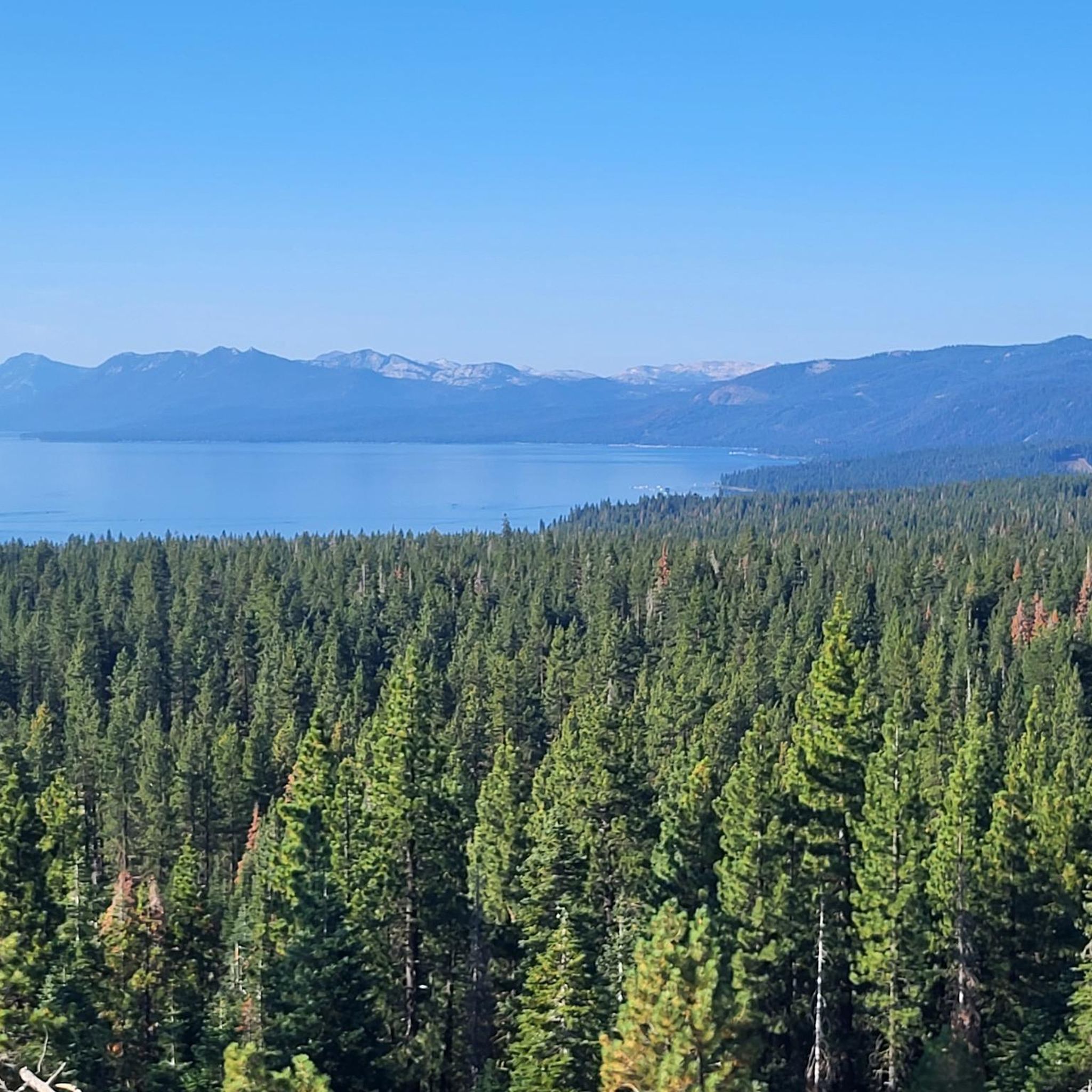

Other adventures around Sunnyside-Tahoe City

Tips from the Community

A small stretch of sand with privileged views of Donner Lake and the surrounding forest. The beach is easily accessible from the road, making it a great spot to check out, or even take a refreshing dip.
0
0
From this point on Donner Pass Road, you get a panoramic view of Donner Lake, surrounded by pine forest, this is a spot well worth stopping at during your ride.
0
0

Very Nice and Easy trail for all, ride it from Tahoe City all the way to Palisades if you like. beautiful scenery and views along the Truckee River.
0
0

This state park has nearly two miles of shoreline and over 2,500 acres of forested mountains. The name of this park changed from Sugar Pine Point State Park to Ed Z'berg Sugar Pine Point State Park in 2009 to honor Edwin L. Z'berg, a very environmentally-involved California state assemblyman.
0
0

Lake Tahoe Commons Beach is just a one-minute walk from the main street of Tahoe City. A nice beachfront area and a fantastic swimming spot.
0
0
Pole Creek Road Trailhead is on Tahoe River Road and has a small area for parking. The trailhead is right next to Pole Creek, and the Pole Creek Road Trail brings hikers all the way up to the Pacific Crest Trail eventually.
0
0
Lake Tahoe Commons Beach is just a one minute walk from the main street of Tahoe City. A nice beachfront area and a fantastic swimming spot.
0
0
Frequently Asked Questions
How many road cycling routes are available in Sunnyside-Tahoe City?
There are over 30 road cycling routes around Sunnyside-Tahoe City, offering a variety of experiences for different skill levels. You'll find a mix of easy, moderate, and challenging options.
Are there easy or family-friendly road cycling routes in Sunnyside-Tahoe City?
Yes, the region offers several easy road bike trails suitable for beginners and family-friendly rides. There are 16 easy routes available, often following lakeside roads or river valleys, providing a gentle cycling experience.
What options are available for advanced road cyclists seeking climbs?
For advanced road cyclists, Sunnyside-Tahoe City features routes with climbs into the Sierra Nevada foothills. There are 2 difficult routes, such as the challenging Tahoe-Pyramid Bikeway and Donner Pass Loop, which combines riverside cycling with mountain passes.
What is the typical length and duration of road cycling routes in the area?
Routes vary in length and duration. For instance, the Lookout Mountain loop is about 40 miles (64.6 km) and takes around 2 hours 55 minutes, while the Tahoe City loop from Dollar Point is shorter at about 21 miles (33.7 km) and can be completed in under 1.5 hours.
What kind of scenery can I expect on road cycling routes around Sunnyside-Tahoe City?
Road cycling routes in this region offer diverse scenery, including expansive views of Lake Tahoe, pine forests, and open areas. Many routes follow the Truckee River, providing picturesque riverside cycling. You'll experience a mix of lakeside roads, river valleys, and climbs into the Sierra Nevada foothills.
Are there any circular road cycling routes in Sunnyside-Tahoe City?
Yes, many routes are designed as loops. Popular circular options include the Lookout Mountain loop and the Truckee River Trail – Tahoe City loop from Idlewild, allowing you to start and finish at the same point.
What are some notable landmarks or attractions I can see along the road cycling routes?
Along the routes, you can encounter various points of interest. You might pass through areas near Tahoe City itself, or enjoy stunning perspectives like the View of Lake Tahoe from Eagle Rock. Some routes also offer proximity to natural features like William Kent Beach.
What do other road cyclists enjoy the most about road cycling in Sunnyside-Tahoe City?
The area is highly rated by the komoot community, with an average score of 3.7 stars. Reviewers often praise the varied terrain, which includes beautiful lakeside roads, scenic river trails, and challenging climbs into the Sierra Nevada foothills, catering to a wide range of cycling preferences.
What is the best time of year for road biking in Sunnyside-Tahoe City?
The best time for road biking in Sunnyside-Tahoe City is generally from late spring through early fall (May to October), when the weather is mild, and roads are clear of snow. Summer offers warm temperatures perfect for lakeside rides, while fall brings beautiful foliage.
Are there any routes that follow the Truckee River?
Yes, several routes incorporate sections along the Truckee River. A popular choice is the Truckee River Trail – Tahoe City loop from Idlewild, which leads through the picturesque Truckee River valley, offering a pleasant and scenic ride.
Can I find routes that offer views of Lake Tahoe?
Absolutely. Many road cycling routes in Sunnyside-Tahoe City navigate the western shores of Lake Tahoe, providing continuous views of the expansive lake. Routes often follow lakeside roads, ensuring you'll have plenty of opportunities to enjoy the stunning blue waters.
Most popular routes around Sunnyside-Tahoe City
Most popular attractions around Sunnyside-Tahoe City

Get inspired with the komoot mobile app


Explore more
Browse the best Road cycling routes in other regions.
