The best cycling routes around South Monrovia Island
4.4
(41)
688
riders
37
rides
Touring cycling routes around South Monrovia Island are set against the backdrop of the San Gabriel Mountains, offering a varied landscape for cyclists. The region features foothills, canyons, and diverse ecosystems including oak woodlands and riparian areas. Flat, accessible routes often follow river greenways, while more challenging options ascend into the mountain foothills. This area provides a mix of natural features suitable for different cycling preferences.
Best touring cycling routes around South Monrovia Island
- The most popular touring cycling route…
Last updated: June 29, 2026
4.8
(5)
52
riders
Easy bike ride. Great for any fitness level. Mostly paved surfaces. Suitable for all skill levels.
4.3
(3)
27
riders
Easy bike ride. Great for any fitness level. Mostly paved surfaces. Suitable for all skill levels.

Sign up for free
3.0
(1)
15
riders
25.7km
01:35
180m
180m
Moderate bike ride. Good fitness required. Mostly paved surfaces. Suitable for all skill levels.
5.0
(2)
19
riders
103km
06:12
210m
210m
Hard bike ride. Very good fitness required. Mostly paved surfaces. Suitable for all skill levels.
3.0
(1)
9
riders
35.4km
02:15
130m
130m
Moderate bike ride. Good fitness required. Mostly paved surfaces. Suitable for all skill levels.
Get access to more routes and recommendations from other explorers.
Sign up for free
Already have an account?
Our route recommendations are based on thousands of hikes, rides, and runs completed by other people on komoot.
Start today with a free account
Your next adventure awaits.
Login or Signup


Tips from the Community

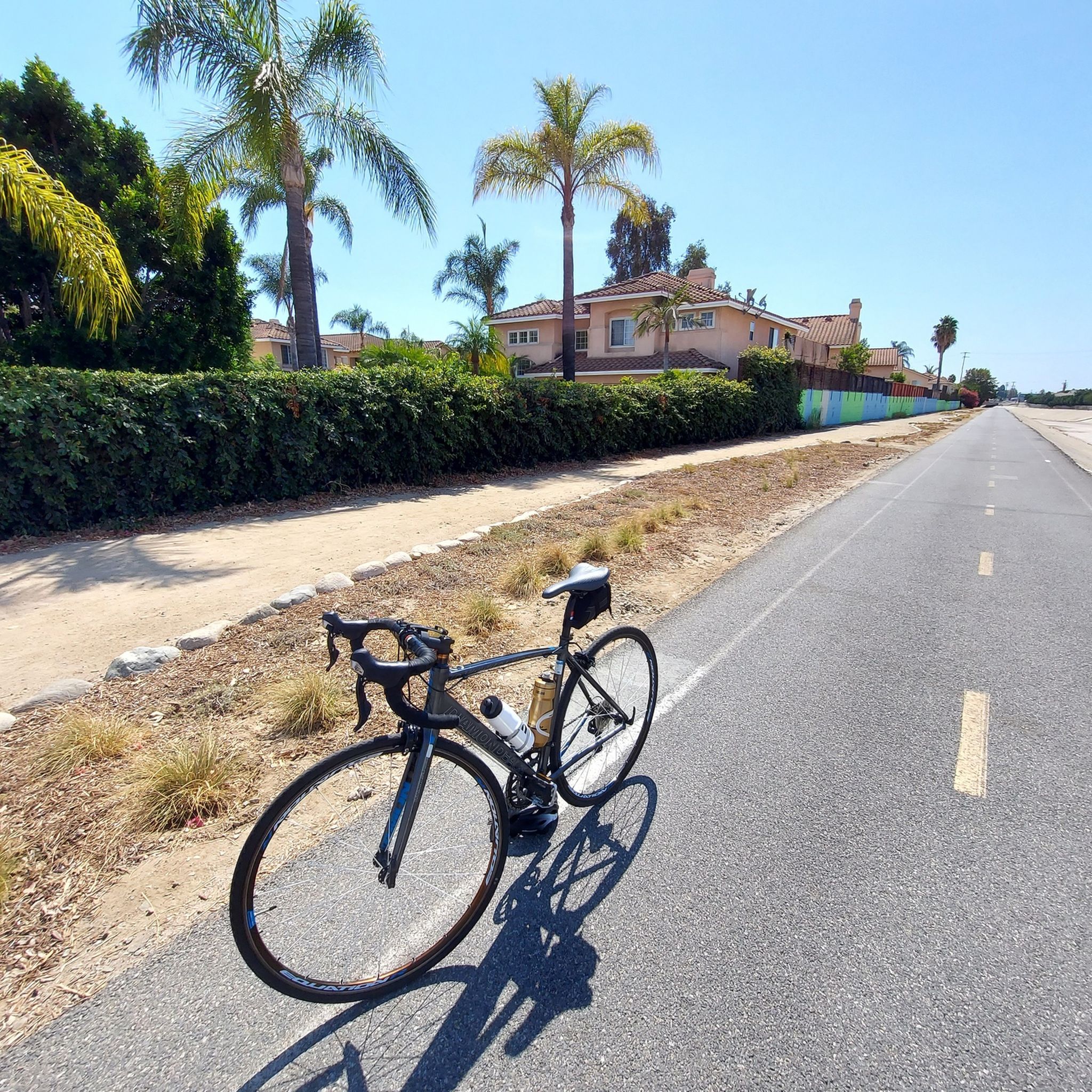
The Rio Hondo Greenway is a beautiful bike lane that follows the river that gives the trail its name. It is fully paved and flat, so it is not a challenging trail.
0
0
The Rio Hondo Bike Bridge is an interesting structure that connects the bike trails that runs on either side of the Rio Hondo.
0
0

Nice bike path. not much roads to cross. some are hilly but doable for newbies. It's our first time and we had a good time. just some areas are with a lot of homeless people, esp. the tunnels.
0
0
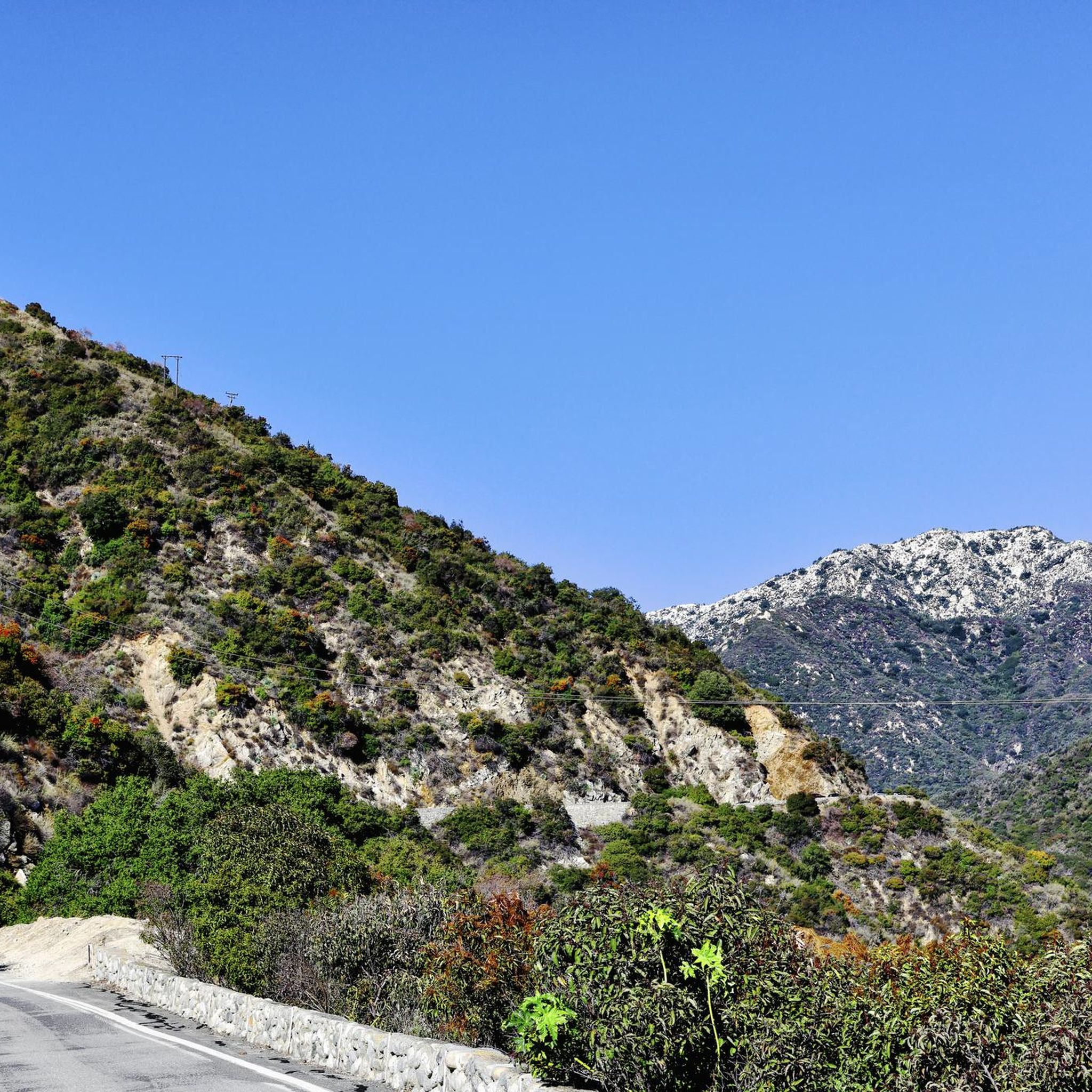
Great view from the cycle path of the San Gabriel Mountains in the distance.
0
0

One of the best dedicated bike trails in the LA area, leading from the San Gabriel mountains north of Azuza along a car free paved river route all the way to Seal beach
1
0
Leafy park with lawns and shaded seating, restrooms, drinking water fountains, and a bike repair station. Great for a break or as trailhead to ride west along the dedicated Duarte Bike Trail, a multi-purpose trail that was founded in 1977. It stretches 1.6 miles from Royal Oaks Park at Vineyard Avenue to Buena Vista Avenue. Next to the paved cycling path runs a dirt jogging and equestrian trail shaded by oak trees. The gently sloped trail follows the historic Pacific Electric Railway route, passing an arched bridge that once carried Red Trolley Cars to Los Angeles.
1
0

Duarte Bike Trail is a multi-purpose trail that was founded in 1977. It stretches 1.6 miles from Buena Vista Avenue to Royal Oaks Park at Vineyard Avenue. There are both a paved cycling path and a dirt jogging and equestrian trail. The path runs under shady oak trees with gentle slopes, and the trail follows the historic Pacific Electric Railway route, where you can spot an arched bridge that once carried Red Trolley Cars to Los Angeles. Great for biking, jogging, dog walking, or leisurely strolls, the trail includes amenities like parking, restrooms at Royal Oaks Park, drinking fountains, and a bike repair station at Vineyard Avenue. It’s open daily from dawn to dusk.
0
0

There is a parking lot and restroom here at the trailhead, which provides access to a large network of paved and packed dirt trails along the beautiful Rio Hondo. The trailhead closes at sunset.
0
0
Frequently Asked Questions
How many touring cycling routes are available around South Monrovia Island?
There are over 35 touring cycling routes around South Monrovia Island, offering a diverse range of experiences from easy river greenways to more challenging mountain foothills.
Are there any easy touring cycling routes suitable for beginners or families?
Yes, South Monrovia Island offers several easy routes perfect for beginners or families. For a flat and scenic ride, consider the Bosque del Rio Hondo – Rio Hondo Greenway loop from North El Monte, which winds along the Rio Hondo Greenway. Another great option is the Santa Fe Flood Control Basin – San Gabriel River Greenway loop from Duarte, following a river greenway with pleasant views.
What kind of challenging touring cycling routes can I find in the area?
For experienced cyclists seeking a challenge, the region offers routes with significant elevation gain. The View of San Gabriel Mountains – Royal Oaks Park - Las Lomas loop from Duarte/City of Hope provides a demanding ride with rewarding views of the San Gabriel Mountains. Additionally, the San Gabriel Canyon (Azusa Canyon) road is known for its smooth pavement and picturesque scenery through the canyon.
Are there any loop trails for touring cyclists in South Monrovia Island?
Yes, many touring cycling routes in South Monrovia Island are designed as loops, allowing you to start and end at the same point. Examples include the Duarte Bike Trail – Duarte Recreational Trail loop from Monrovia, which takes you through shaded oak trees, and the Rio Hondo River Trail – Bosque del Rio Hondo loop from North El Monte.
What natural features or attractions can I expect to see along the cycling routes?
Cycling routes in South Monrovia Island often showcase diverse natural features. You can expect to see chaparral-covered hillsides, oak woodlands, and riparian areas. The region is nestled at the foothills of the San Gabriel Mountains, offering dramatic backdrops and panoramic views of the San Gabriel Valley. Some routes follow river greenways like the San Gabriel River Greenway and Rio Hondo Greenway. Monrovia Canyon Park also features trails leading to seasonal waterfalls.
What do other touring cyclists say about the routes in South Monrovia Island?
The touring cycling routes in South Monrovia Island are highly rated by the komoot community, with an average score of 4.3 stars from over 40 reviews. Cyclists often praise the varied terrain, from flat river paths to challenging mountain ascents, and the beautiful natural scenery.
Are there dedicated bike trails in the South Monrovia Island area?
Yes, the area features dedicated bike trails. The Duarte Bike Trail is a notable multi-purpose path that follows a historic railway route, offering both paved and dirt sections shaded by oak trees. River greenways also provide excellent cycling infrastructure.
Are there any viewpoints along the touring cycling routes?
Many trails and cycling routes in the region lead to vantage points that provide sweeping views. You can often enjoy panoramic vistas of the San Gabriel Valley, the Los Angeles basin, and on clear days, even Catalina Island, especially on routes that ascend into the mountain foothills.
What are the typical distances and durations for touring cycling routes here?
The routes vary significantly in distance and duration to suit different preferences. Easy routes, such as the Bosque del Rio Hondo – Rio Hondo Greenway loop, are around 14.5 miles (23.3 km) and can be completed in under 1.5 hours. More challenging routes, like the View of San Gabriel Mountains – Royal Oaks Park - Las Lomas loop, can extend over 32 miles (51 km) and take several hours to complete.
Is public transport available to access the bike trails?
While the region is actively working on improving cycling infrastructure, specific public transport connections directly to all trailheads may vary. It's advisable to check local transit options for routes serving areas like Duarte or North El Monte, which are common starting points for many tours.
Are there any specific places to explore or landmarks near the cycling routes?
Beyond the natural beauty, you can explore various points of interest. The Santa Fe Flood Control Basin is a notable feature, and the End of San Gabriel River Bike Path marks a significant point along one of the major greenways. Monrovia Canyon Park is also a popular spot for its trails and seasonal waterfalls.
Most popular attractions around South Monrovia Island

Get inspired with the komoot mobile app


Explore more
Browse the best Cycling routes in other regions.
