The 4 Most Amazing Peaks around Santa Rosa Valley
Best mountain peaks around Santa Rosa Valley are found in a region characterized by diverse terrain, including mountains, valleys, and open spaces. This area, primarily in Ventura County, offers a range of elevations and natural features. It serves as a gateway to the Santa Monica Mountains National Recreation Area, providing varied landscapes for outdoor activities. The region's geology includes ancient volcanic formations and granitic rocks, contributing to its rugged beauty.
Best mountain peaks around Santa Rosa Valley
- The most popular…
Last updated: June 24, 2026
Upper Sycamore Overlook
Highlight • Viewpoint
Tip by

Conejo Mountain Trail
Highlight (Segment) • Trail
Tip by

Sign up now to discover places like this
Get recommendations on the best single tracks, peaks, & plenty of other exciting outdoor places.
Sign up for free
Angel Vista Viewpoint
Highlight • Viewpoint
Tip by
View from Elliott Mountain
Highlight • Summit
Tip by
Start today with a free account
Your next adventure awaits.
Login or Signup

Tips from the Community

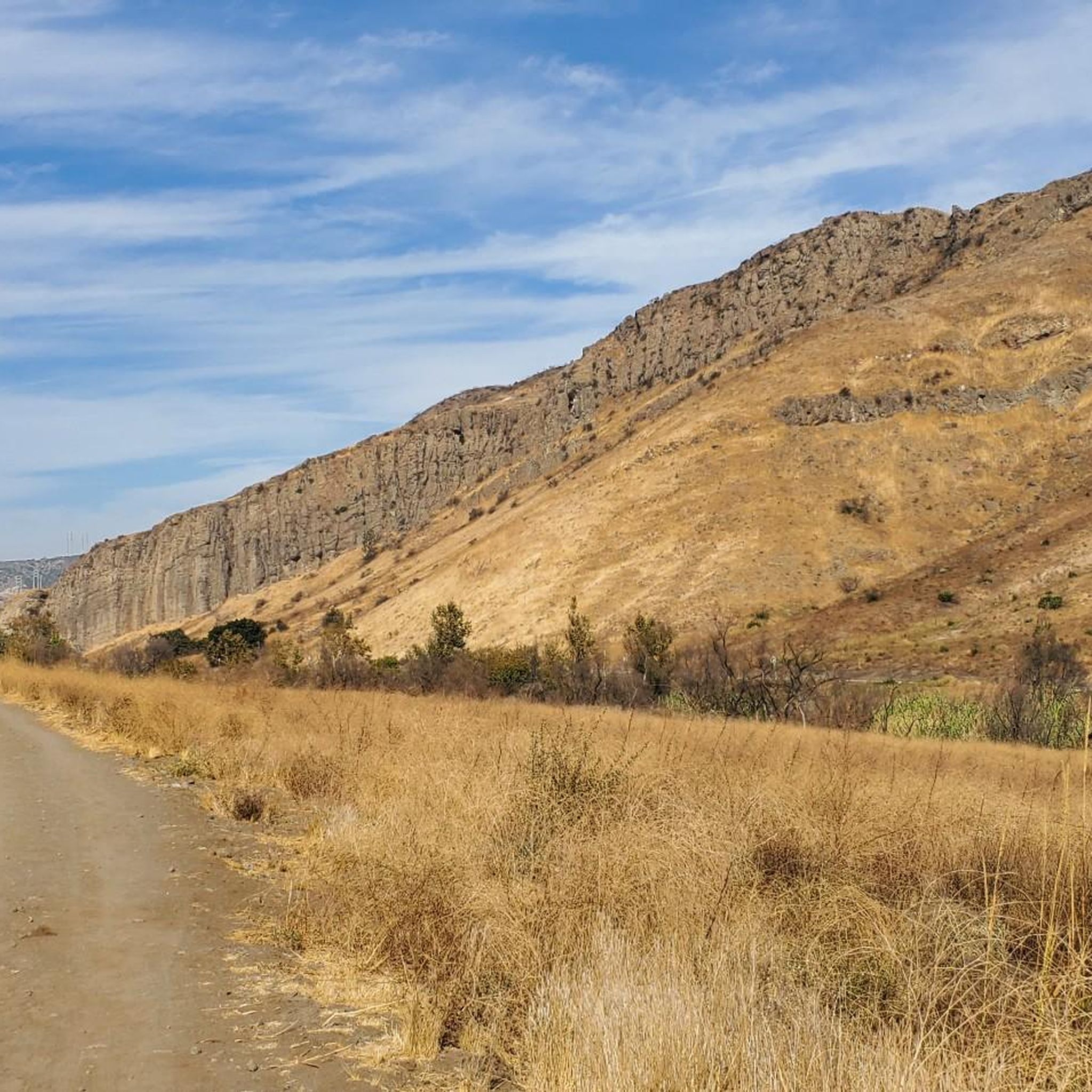
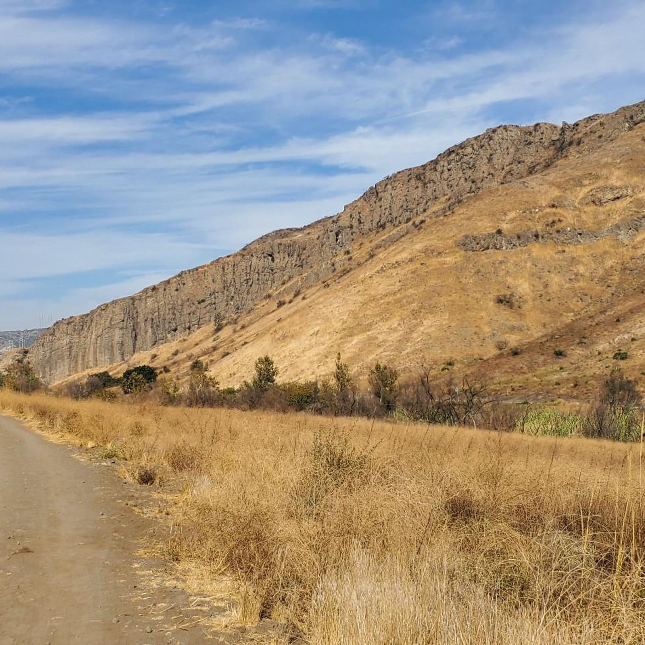
Conejo Mountain stands at 1,814 feet, offering panoramic views of Thousand Oaks. Once an active volcano 14 million years ago, it can now be explored via a moderately challenging 4.7-mile out-and-back trail. The trail has some steep sections, but nothing too difficult. It's less popular than other trails, so you might have the place all to yourself. Enjoy!
0
0

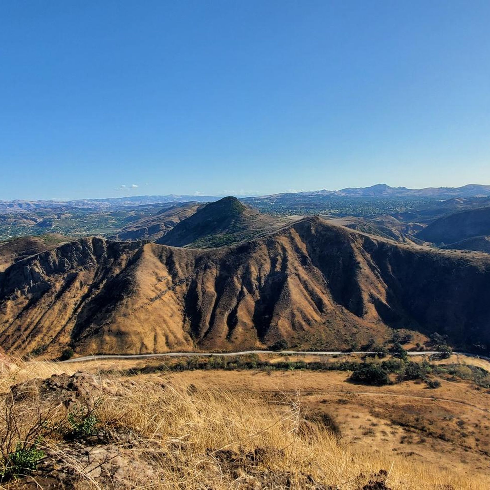
This summit has some of the best views in the area with a view consisting of green open space, surrounding mountains, and the city as it slowly encroaches on nature.
0
0
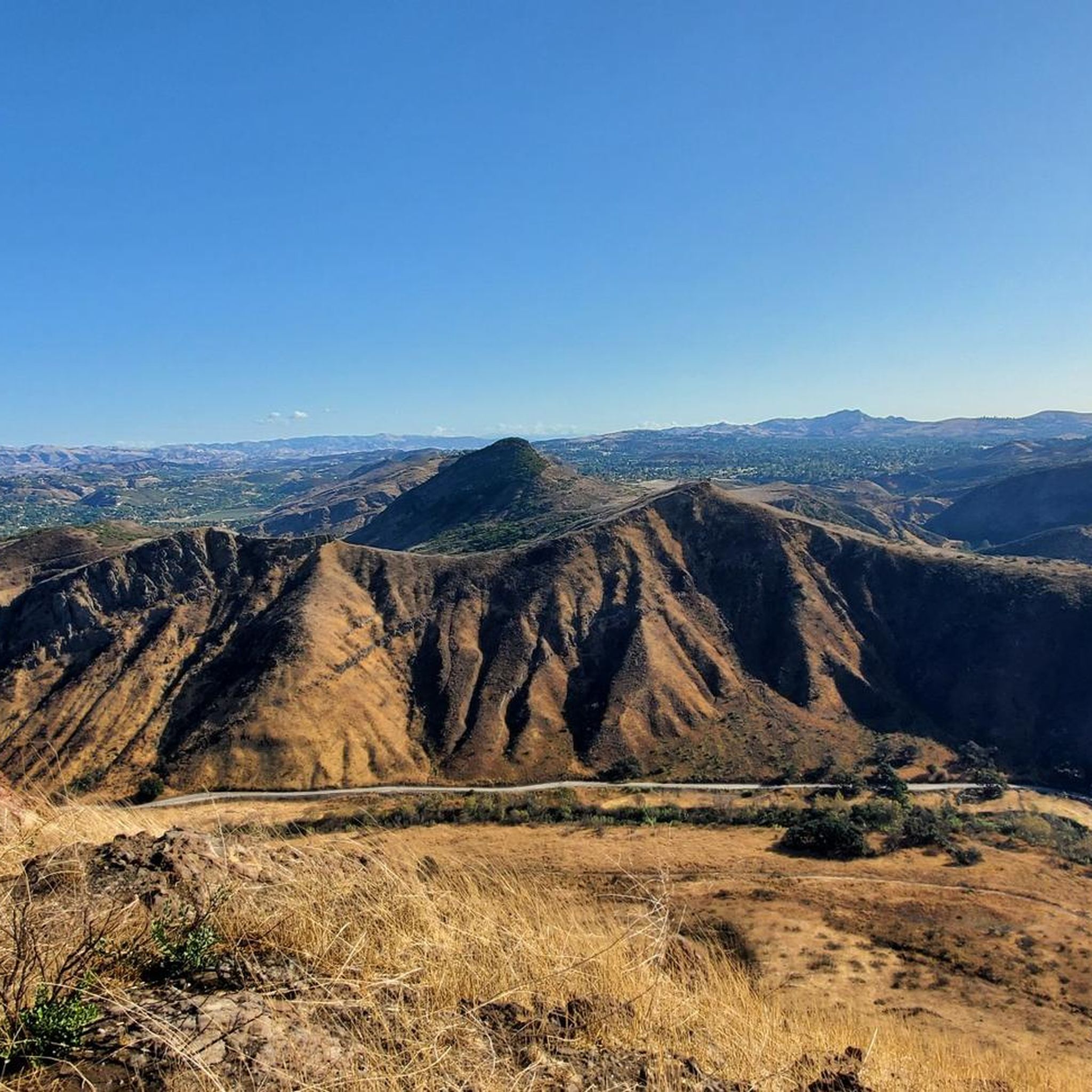
At the end of the Rosewood Trail, and atop Ventu Park, you reach Angel Vista. This lookout point provides 360 degree views of the open space and has a decent amount of shade reaching this point.
0
0
This summit has some of the best views in the area with view consisting of green open space, surrounding mountains, and the city as it slowly encroaches on nature.
0
0
At the end of the Rosewood Trail, and atop Ventu Park, you reach Angel Vista. This lookout point provides 360 desgree views of the open space and has a descent amount of shade reaching this point.
0
0
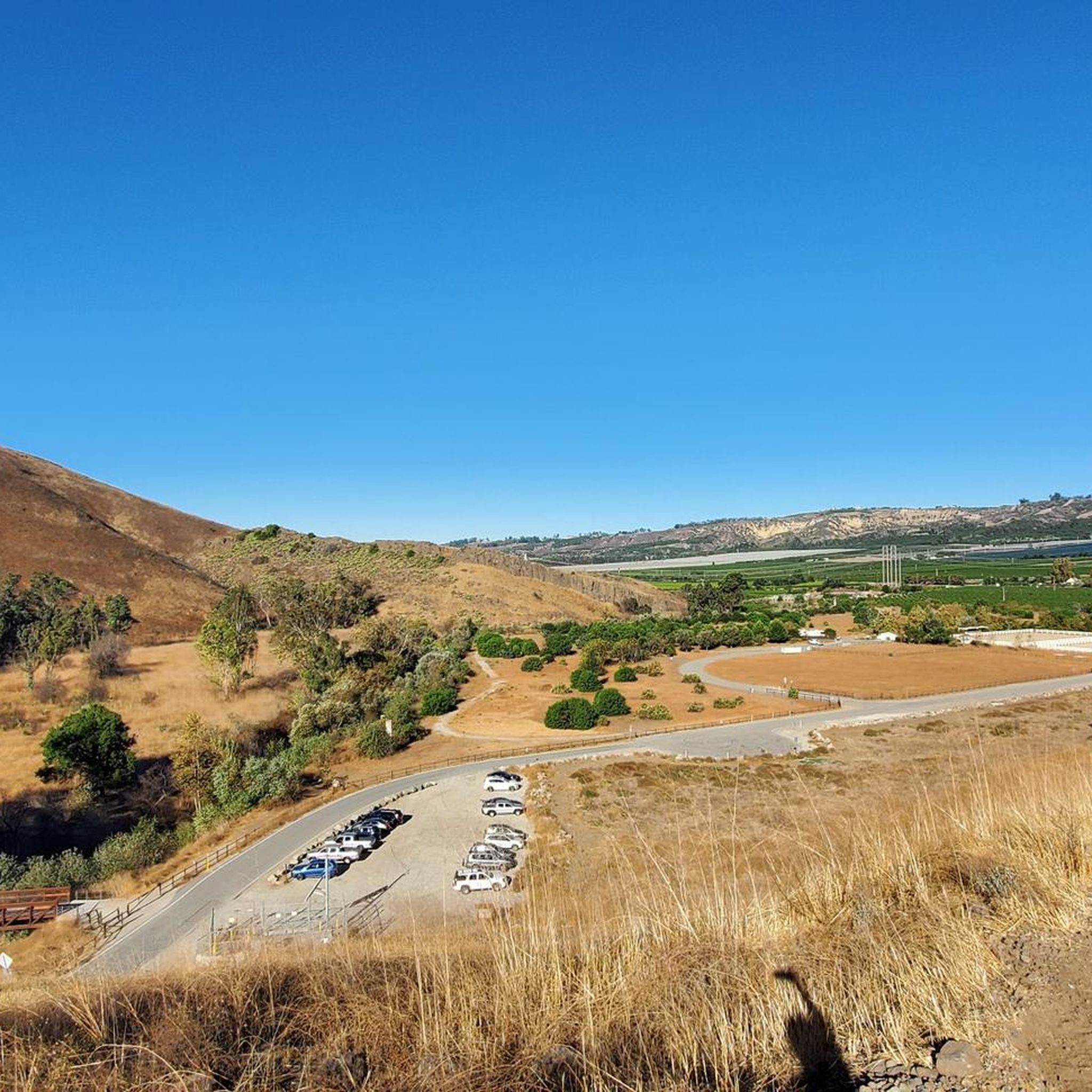
There is an overlook spot here on the side of the trail that allows you to take a break and enjoy the hillside. Don't plan on spending too much time here as there is not any shade, but luckily you are just a short downhill stroll away from the Native American Culture Center which will allow you to escape the direct sun.
0
0

Nice viewpoint before you start hiking at the Upper Sycamore Trail.
0
0
Frequently Asked Questions
What are some of the most prominent mountain peaks and viewpoints in the Santa Rosa Valley area?
The Santa Rosa Valley, primarily in Ventura County, offers several notable peaks and viewpoints. Among them, Simi Peak stands at 2,403 feet, providing panoramic views of the Santa Monica Mountains National Recreation Area. Conejo Mountain, an ancient volcano, offers panoramic views of Thousand Oaks from its 1,814-foot summit. For stunning vistas, Angel Vista Viewpoint atop Ventu Park provides 360-degree views, and the View from Elliott Mountain is praised for its expansive outlooks over green open spaces and surrounding mountains.
Are there challenging hikes around the Santa Rosa Valley peaks?
Yes, for those seeking a challenge, the Conejo Mountain Trail is a moderately challenging 4.7-mile out-and-back route with some steep sections. While not overly difficult, it offers a rewarding experience with panoramic views. The region's diverse terrain, including ancient volcanic formations and granitic rocks, contributes to rugged and engaging trails.
What kind of views can I expect from the mountain peaks in Santa Rosa Valley?
From the mountain peaks and viewpoints in Santa Rosa Valley, you can expect diverse and expansive views. Simi Peak offers a panoramic look at the Santa Monica Mountains National Recreation Area. Angel Vista Viewpoint provides 360-degree views of the open space, while the View from Elliott Mountain showcases green open spaces, surrounding mountains, and the encroaching city. Even Upper Sycamore Overlook offers a pleasant hillside view before continuing on the trail.
What outdoor activities can I do near the Santa Rosa Valley mountain peaks?
The Santa Rosa Valley area provides a variety of outdoor activities. You can find numerous hiking opportunities, including easy hikes like the Arroyo Vista Community Park Loop or more challenging routes. The region is also popular for road cycling, with routes like the Ojai & Ventura loop, and gravel biking, with trails such as the Sycamore Canyon North climb. For more details on specific routes, you can explore the easy hikes, road cycling routes, and gravel biking routes guides for the area.
Are there any family-friendly trails or viewpoints in Santa Rosa Valley?
While specific 'family_friendly' tags aren't present for these highlights, many trails in the Santa Rosa Valley are suitable for families, especially those looking for accessible overlooks. The Upper Sycamore Overlook is a nice spot to take a break and enjoy the hillside before starting a hike, and it's a short stroll from the Native American Culture Center. The nearby easy hikes around Santa Rosa Valley guide lists routes like the Arroyo Vista Community Park Loop, which are generally suitable for families.
What is the elevation of Simi Peak?
Simi Peak stands at an elevation of 2,403 feet (732 meters) above sea level, offering a commanding position for panoramic views of the Santa Monica Mountains National Recreation Area.
What natural features can I observe around the Santa Rosa Valley peaks?
The Santa Rosa Valley is characterized by diverse natural features. You can observe ancient volcanic formations, such as Conejo Mountain which was an active volcano millions of years ago. The region also features granitic rocks, contributing to its rugged beauty. The area serves as a gateway to the Santa Monica Mountains National Recreation Area, offering varied landscapes including canyons, forests, and open spaces, supporting diverse flora and fauna.
What do visitors enjoy most about the mountain peaks in Santa Rosa Valley?
Visitors particularly enjoy the expansive views and the sense of open space. From Simi Peak, the panoramic look at the Santa Monica Mountains National Recreation Area is a highlight. The View from Elliott Mountain is noted for its 'best views in the area' encompassing green open space and surrounding mountains. The 360-degree views from Angel Vista Viewpoint are also highly appreciated, often with the added benefit of shade.
Are there any shaded areas or places to rest at the viewpoints?
Yes, some viewpoints offer shade. Angel Vista Viewpoint, for instance, is noted for having a 'decent amount of shade.' However, the Upper Sycamore Overlook specifically mentions not having much shade, but it is conveniently located a short downhill stroll from the Native American Culture Center where you can find respite from the sun.
What is the best season for hiking the Santa Rosa Valley mountains?
While specific seasonal data isn't provided, the Santa Rosa Valley, being in Southern California, generally experiences mild winters and hot, dry summers. Spring and fall are typically the most pleasant seasons for hiking, offering comfortable temperatures and often vibrant wildflowers in spring. Summer hikes are possible but best done early in the morning to avoid the heat. Winter can also be a good time, though occasional rain may occur.
Are there any trails that were once active volcanoes in the Santa Rosa Valley?
Yes, Conejo Mountain, which stands at 1,814 feet, was an active volcano approximately 14 million years ago. Today, you can explore it via a moderately challenging 4.7-mile out-and-back trail, enjoying panoramic views of Thousand Oaks from its summit.
Where can I find easy hiking trails near the Santa Rosa Valley peaks?
For easy hiking trails near the Santa Rosa Valley peaks, you can refer to the Easy hikes around Santa Rosa Valley guide. It includes routes like the Arroyo Vista Community Park Loop, Paradise Falls via Fort Trail and Wildwood Canyon, and the Mesa Trail and Lizard Rock Trail Loop, which are all rated as easy and offer pleasant outdoor experiences.
Most popular routes around Santa Rosa Valley
Most popular attractions around Santa Rosa Valley

Get inspired with the komoot mobile app


Explore more
See even more amazing summits around Santa Rosa Valley with these guides:
