The best road cycling routes around San Geronimo
4.3
(32)
1,554
riders
27
rides
Road cycling around San Geronimo offers diverse terrain within Marin County, California. The region features a picturesque valley characterized by rolling hills, lush forests, and meandering creeks. Cyclists encounter varied landscapes including views of San Geronimo Ridge, Mount Barnabe, and Whites Hill. Routes often traverse the ecologically significant Lagunitas Creek watershed, providing a mix of paved trails and challenging climbs.
Best road cycling routes around San Geronimo
- The most popular road cycling route is Hicks Valley Road Loop, a…
Last updated: July 8, 2026
5.0
(5)
173
riders
77.1km
03:39
870m
870m
Embark on the Hicks Valley Road Loop for a rewarding racebike experience through Marin County's varied terrain. This moderate route spans 47.9 miles (77.1 km) and features a significant 2864…
138
riders
88.6km
04:29
1,390m
1,380m
Hard road ride. Very good fitness required. Mostly well-paved surfaces and easy to ride.

Sign up for free
5.0
(3)
128
riders
108km
04:49
1,110m
1,110m
Hard road ride. Very good fitness required. Mostly well-paved surfaces and easy to ride.
284
riders
86.1km
03:51
750m
750m
Moderate road ride. Good fitness required. Mostly well-paved surfaces and easy to ride.
5.0
(3)
99
riders
46.6km
02:40
1,040m
1,040m
Hard road ride. Very good fitness required. Mostly well-paved surfaces and easy to ride.
Get access to more routes and recommendations from other explorers.
Sign up for free
Already have an account?
Our route recommendations are based on thousands of hikes, rides, and runs completed by other people on komoot.
Start today with a free account
Your next adventure awaits.
Login or Signup
Tips from the Community

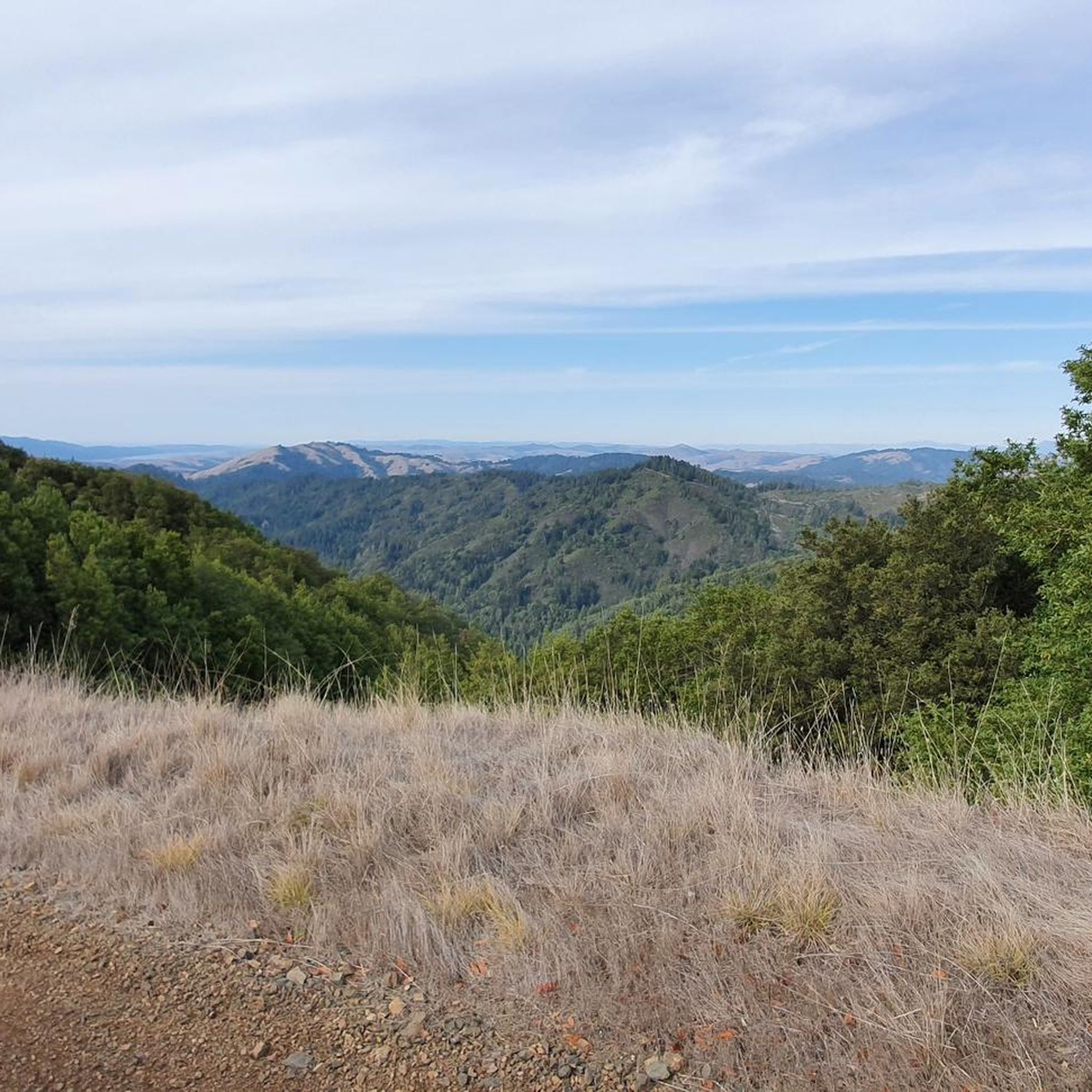
Paved section riding on the ridge between Pan Toll Road and Fairfax-Bolinas Road where it contains as Bolinas Ridge Trail, with spectacular views along the way toward the Pacific Ocean and Stinson Beach far below. The road is open during daylight hours only, in winter that means 9am to sunset.
0
0


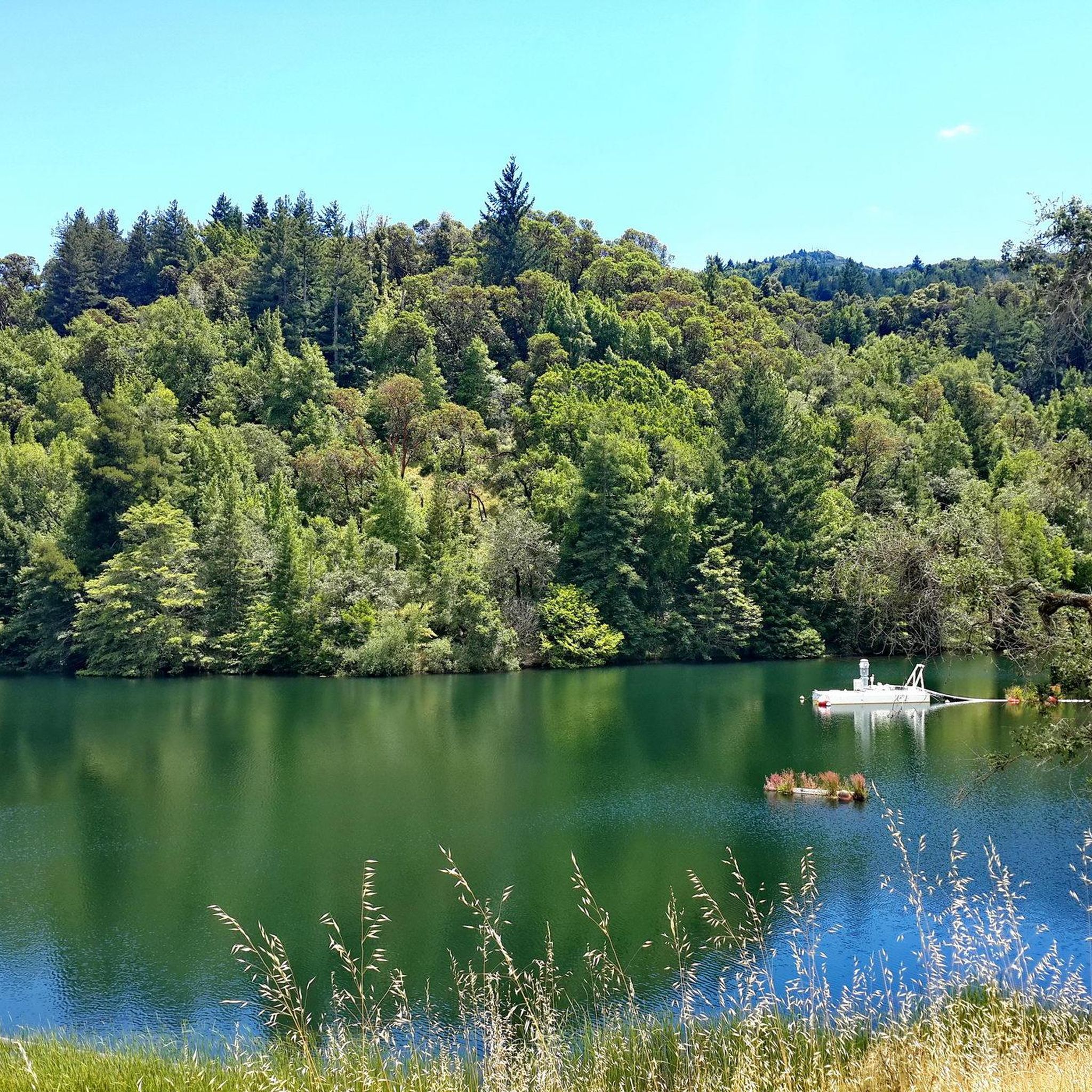
Constructed in 1917 this dam forms Alpine Lake, which sites between Kent and Bon Tempe Lakes. The road across the top of the dam make it a great place to ride on a loop around the lake.
0
0
This lake was formed by the building of Alpine Dam in 1917. It sits between Kent Lake and Bon Tempe Lake, and is popular for a variety of outdoor activities.
0
0

Set beneath the towering trees of Mount Tam, Rock Springs is the perfect jumping-off point for scenic hikes and quiet picnics—where trails, wildlife, and wide-open views begin.
0
0

Steep heading West can have traffic on SFD
0
0
Embark on an adrenaline-fueled mountain biking adventure through Big Rock. The trail reaches its peak at the towering landmark, a colossal rock that adds a unique touch to the experience. Exercise caution on the descent; the pavement can get slippery, adding an exhilarating challenge to this thrilling ride.
0
0
Frequently Asked Questions
How many road cycling routes are available around San Geronimo?
There are over 20 road cycling routes around San Geronimo, offering a variety of experiences for different skill levels. The komoot community has explored 24 routes in total.
What are the typical terrain and elevation challenges for road cycling in San Geronimo?
Road cycling around San Geronimo is characterized by rolling hills, lush forests, and scenic valleys. Routes often include moderate elevation changes, with some challenging climbs. For example, the Nick's Cove and Boat Launch – Tomales loop from Woodacre features over 1,100 meters of elevation gain, providing a significant challenge.
Are there any beginner-friendly road cycling routes in the San Geronimo area?
While many routes offer moderate challenges, the region does provide options for less experienced riders. The paved Cross Marin Trail, which follows an old railbed along Lagunitas Creek, is generally suitable for a more relaxed ride. Additionally, areas like San Geronimo Commons offer mellow biking opportunities on scenic trails.
What are some of the more advanced road cycling routes near San Geronimo?
For experienced cyclists seeking a challenge, routes like the Nick's Cove and Boat Launch – Tomales loop from Woodacre, spanning over 107 km with significant elevation, are ideal. The region also features routes that journey towards coastal areas, such as the challenging Cross-Marin Trailhead – Point Reyes Station loop from Fairfax, offering extensive riding through varied landscapes.
What kind of views and landmarks can I expect along the road cycling routes?
Road cycling routes in San Geronimo offer diverse scenery, including views of the picturesque San Geronimo Valley, San Geronimo Ridge, Mt. Barnabe, and Whites Hill. You can also ride through lush forests, alongside the ecologically significant Lagunitas Creek watershed, and towards coastal towns. Notable landmarks include the Mount Tamalpais Summits, offering expansive views, and the tranquil Natalie Coffin Greene Park Ross.
Are there any loop road cycling routes around San Geronimo?
Yes, many road cycling routes in the area are loops, providing a convenient way to explore the region. Popular loop options include the Hicks Valley Road Loop, the Sausalito Path – Nicasio loop from Sausalito, and the Fairfax – Cross Marin Trail loop from Marin Civic Center.
What do other road cyclists enjoy most about cycling in San Geronimo?
The road cycling routes around San Geronimo are highly rated by the komoot community, with an average score of 4.3 stars from over 20 reviews. Cyclists frequently praise the diverse and scenic landscapes, the mix of paved trails and challenging climbs, and the opportunity to explore rolling hills, lush forests, and coastal views.
Are there any cafes or places to stop for refreshments along the routes?
Yes, you can find places to refuel. For example, Splitrock Tap & Wheel is a highlight in the area that caters to cyclists, offering a convenient stop for refreshments.
What is the best time of year for road biking in San Geronimo?
San Geronimo offers good cycling conditions for much of the year. The region benefits from a mild climate, making spring and fall particularly pleasant with comfortable temperatures and vibrant scenery. Summer is also popular, though some days can be warmer. Winter cycling is possible, but it's advisable to check local weather conditions for rain or cooler temperatures.
Are there any family-friendly road cycling options in San Geronimo?
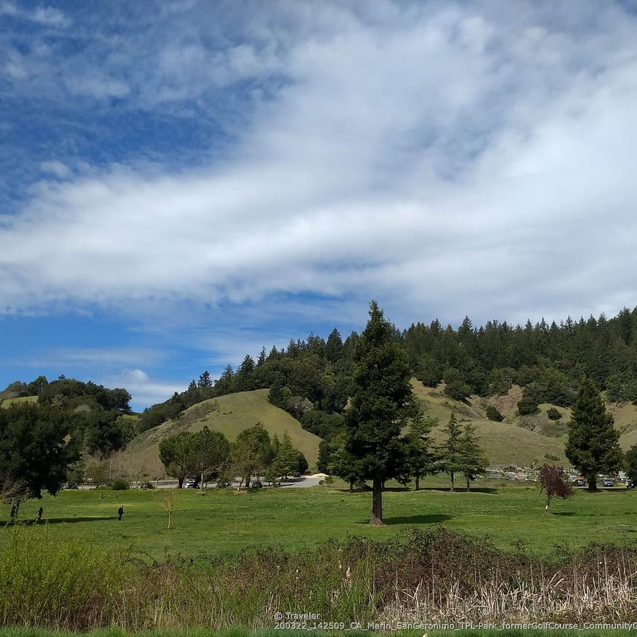
For families or those looking for a more relaxed ride, the paved Cross Marin Trail is an excellent choice, following a gentle grade through redwood forests. Additionally, San Geronimo Commons, a former golf course, now offers scenic trails suitable for mellow biking and wildlife watching, perfect for a family outing.
What are the typical distances of road cycling routes in the San Geronimo area?
The road cycling routes around San Geronimo vary significantly in length, catering to different preferences. You can find routes ranging from shorter rides of around 58 km, like the Nicasio Reservoir – Nicasio loop from Marin County, to much longer and more challenging routes exceeding 100 km, such as the Nick's Cove and Boat Launch – Tomales loop from Woodacre.
Most popular attractions around San Geronimo

Get inspired with the komoot mobile app


Explore more
Browse the best Road cycling routes in other regions.
