The best MTB trails around Rowland Heights
4.8
(146)
526
riders
29
rides
Mountain biking around Rowland Heights offers diverse landscapes characterized by rolling hills, protected nature preserves, and expansive regional parks. The terrain includes a mix of chaparral-covered hillsides, fire roads, and singletrack trails. This environment provides varied options for mountain bikers, ranging from gentle paths to routes with significant elevation gains.
Best mountain bike trails around Rowland Heights
- The most popular mountain bike trail is Gilman Peak – Carbon Canyon Regional Park loop from Brea, a 21.5 miles (34.6 km)…
Last updated: October 16, 2026
4.5
(4)
17
riders
Moderate mountain bike ride. Good fitness required. Suitable for all skill levels.
9
riders
49.7km
04:23
860m
860m
Moderate mountain bike ride. Good fitness required. Suitable for all skill levels.

5.0
(3)
12
riders
16.2km
01:45
460m
460m
Moderate mountain bike ride. Good fitness required. Suitable for all skill levels.
5.0
(3)
11
riders
Moderate mountain bike ride. Good fitness required. Suitable for all skill levels.
4.8
(4)
14
riders
13.1km
01:19
280m
280m
Easy mountain bike ride. Great for any fitness level. Suitable for all skill levels.
Get access to more routes and recommendations from other explorers.
Already have an account?
Our route recommendations are based on thousands of hikes, rides, and runs completed by other people on komoot.
Start today with a free account
Your next adventure awaits.



Tips from the Community

This is the intersection of five trails: Raptor Ridge Trail, North Ridge Trail, Bovinian Delight Trail or Telegraph Canyon Road. There are also some boards with information about the trails and a restroom.
0
0

This area is designated as a wildlife sanctuary for rare and endangered wildlife. It has about 4,500 acres of wild space and open land.
0
0

This is a cool, panoramic overlook with a placard off the side of the South Ridge Trail. The overlook is situated over the city and neighborhoods of Yorba Linda.
0
0
Telegraph Canyon Trail is one of the most popular paths in the entire park. It leaves the visitor's center as a wide, smooth road and eventually narrows a bit, but it's pretty smooth the entire way. As you approach Four Corners, the trail starts to become more hilly, but it's always considered a "green" trail in terms of difficulty.
0
0

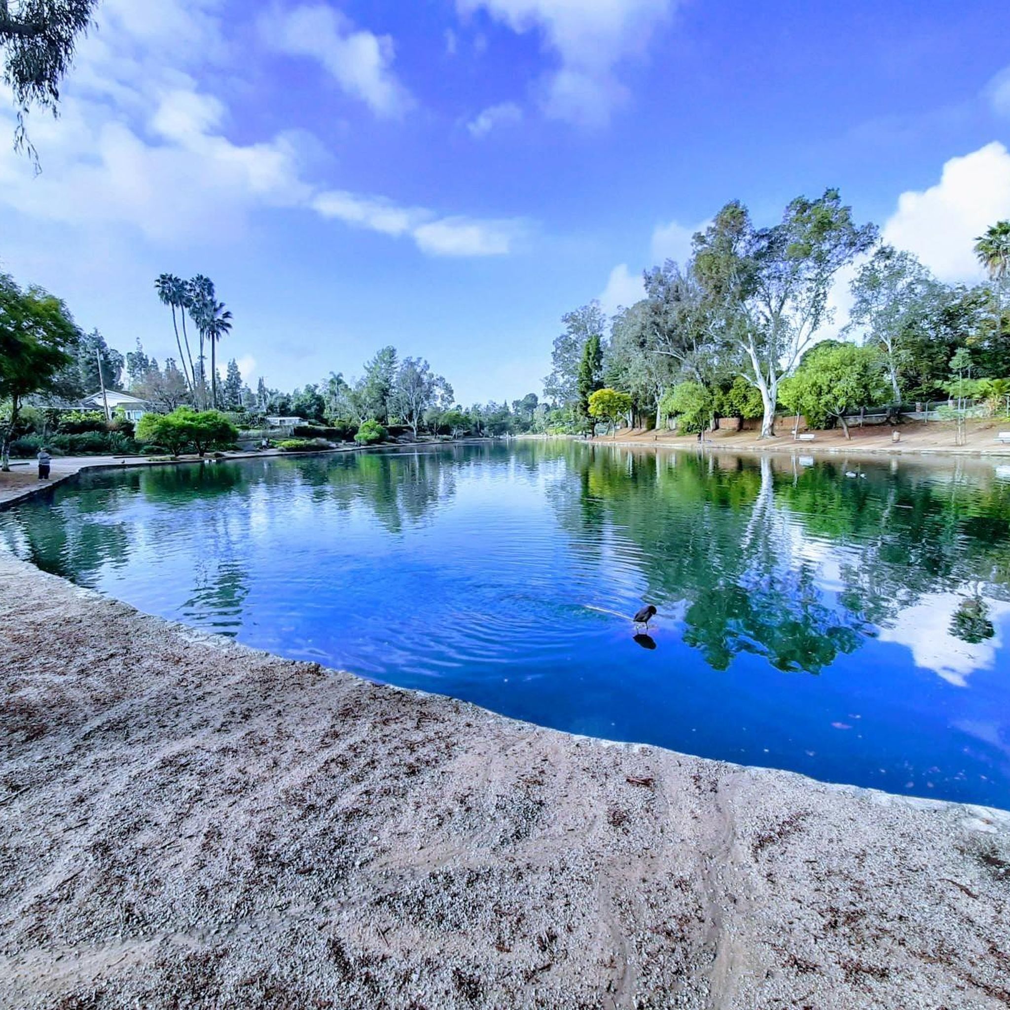
Carbon Canyon Regional Park is a great local park with a small lake and some nature trails featuring redwoods and the Carbon Canyon Creek. It connects to Chino Hills State Park.
0
0

Andersen Bump is a 482m high hilltop that rises above the city of Los Angeles in California. It provides some wonderful views of the surrounding peaks that make up the Water Canyon Natural Preserve, and on a clear day, across the city and toward the ocean, too.
0
0
This area of trail has a nice view of the residential area of Yorba Linda.
0
0

Frequently Asked Questions
How many mountain bike trails are available in Rowland Heights?
Rowland Heights offers over 30 mountain bike trails, catering to various skill levels. You'll find a mix of fire roads and singletrack trails across rolling hills, protected nature preserves, and regional parks.
Are there easy or beginner-friendly mountain bike trails in Rowland Heights?
Yes, Rowland Heights has a good selection of trails suitable for beginners, with 18 routes rated as easy. For instance, the View of Yorba Linda loop from Carbon Canyon Regional Park is an easy 9.9-mile trail that takes about 1 hour 25 minutes to complete, leading through pleasant nature areas.
What are some moderate mountain bike trails in the area?
For those seeking a moderate challenge, there are 11 routes available. A popular choice is the View of Hacienda Heights – Schabarum Picnic Areas loop from Puente Hills Mall, a 12-mile path offering diverse terrain and scenic views within Schabarum Regional Park. Another option is the Puente Hills Preserve loop from Puente Hills Preserve, which is 10.1 miles long and features significant elevation gain.
Are there any challenging mountain bike trails for experienced riders?
Yes, experienced riders can find more demanding routes. The Four Corners – Telegraph Canyon Trail loop from Carbon Canyon Regional Park is a difficult 31.3-mile trail with nearly 1000 meters of elevation gain, offering a substantial challenge.
What is the best time of year to go mountain biking in Rowland Heights?
Rowland Heights benefits from a Mediterranean climate with warm, dry summers and mild, wetter winters. This makes it ideal for mountain biking for much of the year. Spring and fall generally offer the most comfortable temperatures, but winter can also be pleasant with cooler weather and potential for lush greenery after rain.
Are there any loop mountain bike trails in Rowland Heights?
Many of the mountain bike trails in Rowland Heights are loops, providing a convenient way to explore the diverse landscapes. Examples include the Gilman Peak – Carbon Canyon Regional Park loop from Brea, a 21.5-mile route, and the View of Yorba Linda loop from Carbon Canyon Regional Park.
What kind of natural features or wildlife can I expect to see on the trails?
The trails in Rowland Heights traverse diverse landscapes including chaparral-covered hillsides, protected nature preserves, and regional parks. You might encounter various local wildlife, especially in areas like Powder Canyon and Puente Hills Preserve. From certain points, you can also enjoy panoramic views of the San Gabriel Mountains and the Pacific Ocean.
Are there any nearby attractions or points of interest accessible from the mountain bike trails?
Yes, the area offers several points of interest. You can find highlights like Carbon Canyon Regional Park, which features nature trails and redwood groves. Other notable spots include Turnbull Canyon and Brea Dam. Some trails, like the Rowland Heights Loop Trail, lead to lookout points offering scenic vistas.
What do other mountain bikers enjoy most about riding in Rowland Heights?
The mountain biking routes in Rowland Heights are highly rated by the komoot community, with an average score of 4.7 stars from over 170 reviews. Riders often praise the diverse terrain, ranging from rolling hills to challenging singletrack, and the scenic views available from many trails, particularly those within Schabarum Regional Park and Puente Hills Preserve.
Is there information available about parking or trailheads?
Many trails in Rowland Heights are accessible from various regional parks and preserves, which typically offer designated parking areas. For example, routes often start from locations like Puente Hills Mall or Carbon Canyon Regional Park. The Rowland Heights Loop Trail is known to climb through a residential neighborhood and along the edge of Pathfinder Community Regional Park to a lookout point. Specific parking details are usually available on individual route pages.
Can I find trails that connect to other parks or trail systems?
Absolutely. The trail network in Rowland Heights is well-connected. For instance, trails within Chino Hills State Park, such as the Gilman Peak trail, offer connections to other routes through Carbon Canyon Regional Park. This allows for longer rides and varied experiences across different natural areas.
Most popular attractions around Rowland Heights

Get inspired with the komoot mobile app


Explore more
Browse the best MTB trails in other regions.
