The best walks and hikes around Dentlein am Forst
4.4
(1142)
4,735
hikers
27
hikes
Hiking trails around Dentlein am Forst are located in the southern part of Bavaria, within the Franconian Lake District. The region features rolling hills and dense forests, providing a tranquil setting for outdoor activities. The nearby Altmühl River offers paths along its banks, while the "Forster Hardt" forest is a key area for trails. This landscape offers diverse terrain for various hiking experiences.
Best hiking trails around Dentlein am Forst
- The most popular hiking route is Oberlottermühle – Wöhrweiher loop…
Last updated: June 26, 2026
4.7
(7)
15
hikers
4.46km
01:10
40m
40m
Easy hike. Great for any fitness level. Easily-accessible paths. Suitable for all skill levels.
18
hikers
4.63km
01:13
40m
40m
Easy hike. Great for any fitness level. Easily-accessible paths. Suitable for all skill levels.

Sign up for free
5.0
(2)
4
hikers
5.71km
01:31
50m
50m
Easy hike. Great for any fitness level. Easily-accessible paths. Suitable for all skill levels.
4.0
(4)
5
hikers
7.48km
01:58
60m
60m
Easy hike. Great for any fitness level. Easily-accessible paths. Suitable for all skill levels.
5.0
(1)
7
hikers
5.02km
01:20
50m
50m
Easy hike. Great for any fitness level. Easily-accessible paths. Suitable for all skill levels.
Get access to more routes and recommendations from other explorers.
Sign up for free
Already have an account?
Our route recommendations are based on thousands of hikes, rides, and runs completed by other people on komoot.
Start today with a free account
Your next adventure awaits.
Login or Signup
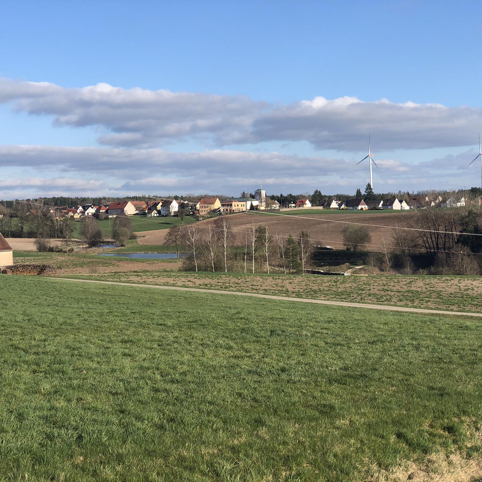
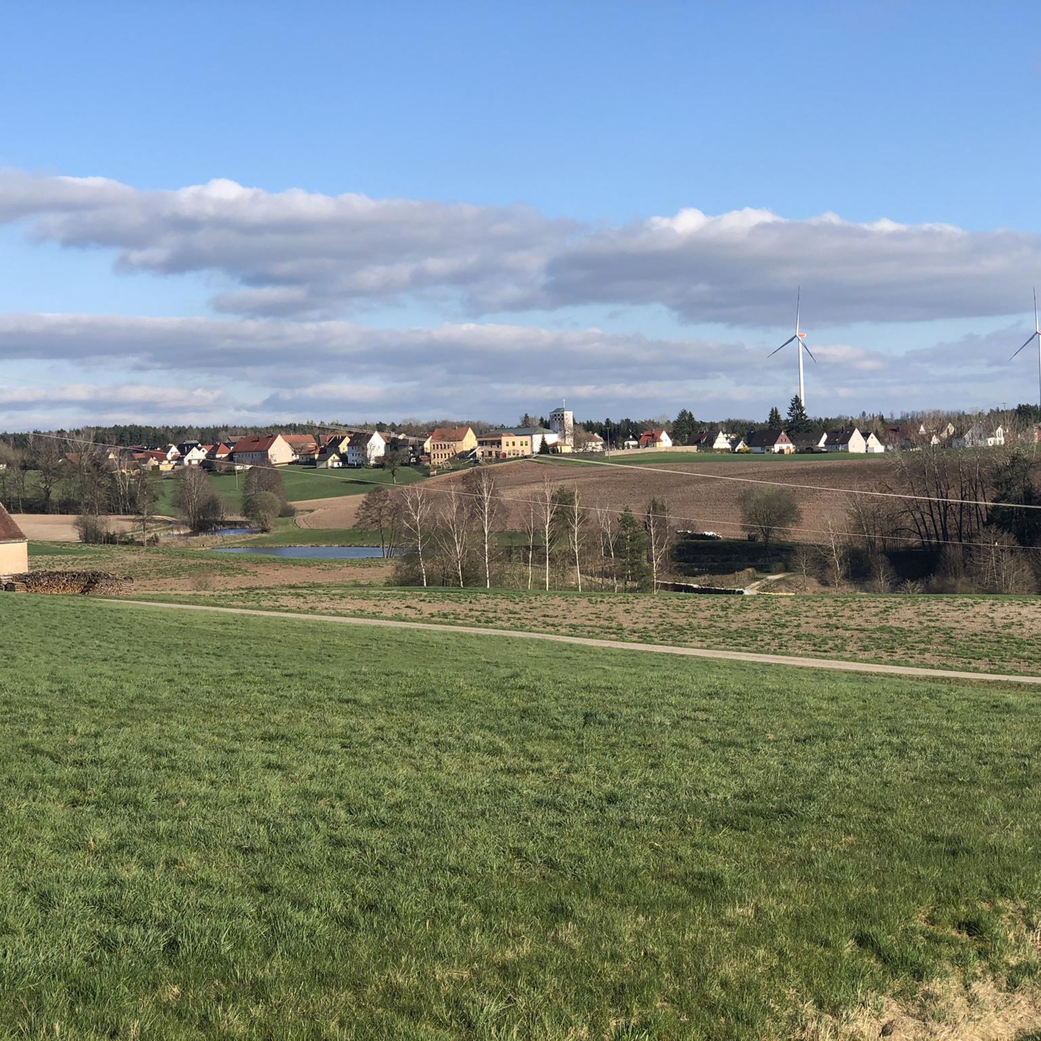
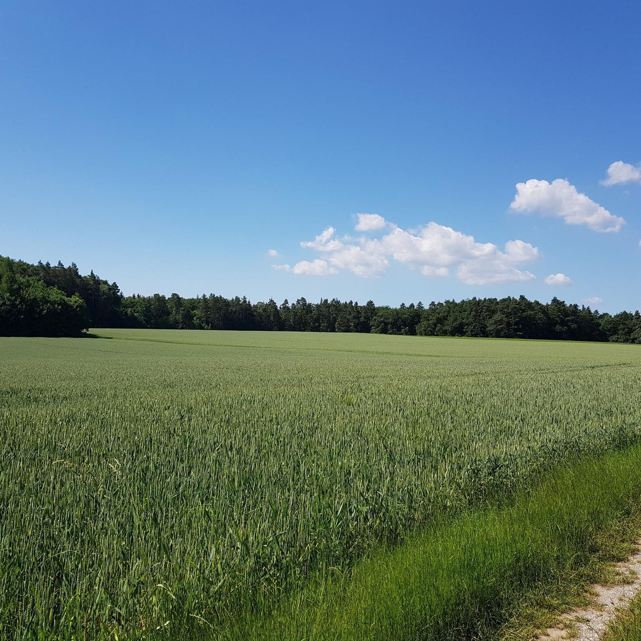
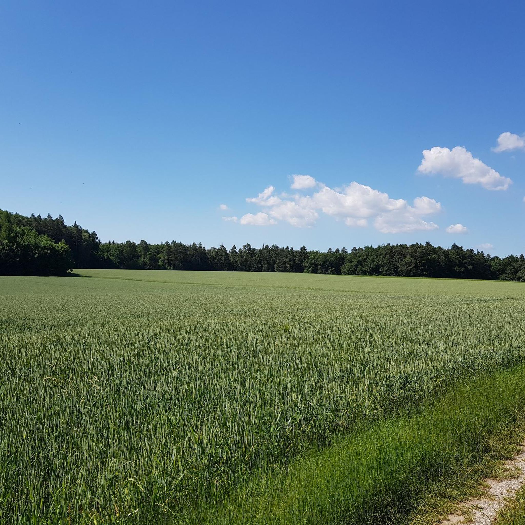
Tips from the Community

Beautifully situated ponds also invite you to take a short rest or to bring your own snack.
0
0

Almost mystical in autumn
0
0


If you follow the romantic road cycle path, you will automatically pass this pond. Although, you should actually say that you can get past both ponds. For a short stretch, the pond lies to the left and right of the path.
3
0

Red pond Good for swimming Water is clear but very cold
0
0

The pond is very nice as a short cooling off. It is right on a street, but you can sit in a small niche on the bank.
3
0
Frequently Asked Questions
What types of hiking trails can I expect in Dentlein am Forst?
Dentlein am Forst offers a diverse range of hiking trails, from leisurely forest paths to more strenuous routes. You'll find paths winding through dense forests, across green fields, and along the banks of the Altmühl River. The region's rolling hills and varied terrain provide options for different ability levels, ensuring a suitable experience for everyone.
Are there easy hiking trails suitable for beginners or families?
Yes, Dentlein am Forst has many easy trails perfect for beginners or families. Out of 27 available routes, 20 are classified as easy. An excellent option is the Oberlottermühle – Wöhrweiher loop from Thürnhofen, which is 2.8 miles (4.5 km) long and offers a pleasant walk through the local landscape.
Are there any challenging hiking routes in the area?
While most routes are easy, there are moderate options for those seeking a bit more challenge. For example, the Zirkelkappel near Schwaighausen – Wöhrweiher loop from Schwaighausen is a moderate 9.8 miles (15.7 km) path that provides varied terrain and takes approximately 4 hours 9 minutes to complete.
What are the best times of year to go hiking in Dentlein am Forst?
Spring and autumn are considered the best seasons for hiking in Dentlein am Forst. The mild climate and the vibrant natural colors, especially the foliage in autumn, greatly enhance the hiking experience. However, the picturesque forests offer tranquil walks throughout the year.
Are there any circular hiking routes available?
Yes, many routes in Dentlein am Forst are circular, allowing you to start and end at the same point. A popular choice is the Wind Turbine in the Forest loop from Dentlein am Forst, a 4.6 miles (7.5 km) trail through forested areas.
What natural features or landmarks can I see while hiking?
The region is characterized by picturesque forests and the nearby Altmühl River. While hiking, you might encounter scenic views over the Franconian countryside. For geological interest, the Hesselberg Summit and the Posidonia Shale Quarry (Geological Natural Monument) are notable nearby attractions offering unique natural insights.
Are there any historical or cultural sights near the hiking trails?
Yes, beyond the natural beauty, you can combine your hike with cultural exploration. The well-preserved Dinkelsbühl Old Town, with its romantic half-timbered houses, is a highly recommended excursion. Other nearby points of interest include the Feuchtwangen Market Square and the Dambach Roman Fort.
What do other hikers enjoy most about the trails in Dentlein am Forst?
The hiking trails in Dentlein am Forst are highly rated by the komoot community, with an average score of 4.4 stars from over 1000 reviews. Hikers frequently praise the tranquil setting, the diverse forest paths, and the opportunities for immersive nature experiences.
Is there parking available at the trailheads?
While specific parking details vary by trailhead, Dentlein am Forst is generally accessible for hikers arriving by car. Many routes, especially circular ones, often have designated parking areas at their starting points or in nearby villages.
Can I access hiking trails using public transport?
Access to hiking trails via public transport in Dentlein am Forst may be limited, as is common in more rural areas. It's advisable to check local bus schedules to nearby villages or consider driving to trailheads for more flexibility.
Are there any trails that offer good viewpoints?
Many routes through the rolling hills and forests of Dentlein am Forst offer spectacular views over the Franconian countryside. For a prominent viewpoint, the Hesselberg South Side, located near the Hesselberg Summit, provides expansive vistas of the surrounding landscape.
Most popular routes around Dentlein am Forst
Most popular attractions around Dentlein am Forst

Get inspired with the komoot mobile app


Explore more
Browse the best Hikes in other regions.
