The best road cycling routes around Pleasure Point
4.3
(75)
3,797
riders
121
rides
Road cycling routes around Pleasure Point are primarily characterized by coastal roads and inland paths. The region features varied terrain, including stretches along beaches and through residential areas, with some routes extending into more rural landscapes. Elevations vary from flat coastal sections to moderate climbs on inland roads.
Best road cycling routes around Pleasure Point
- The most popular road cycling route is Bonny Doon & California Coastal National Monument loop from Santa Cruz, a 33.1 miles (53.3 km) trail that takes 2 hours 50 minutes to complete. This route features significant elevation gain and coastal views.
- Another top favourite among local road cyclists is Pleasure Point Beach – West Cliff Cycleway loop from Capitola, an easy 21.6 miles (34.7 km) path. This route offers a scenic ride along the coastline with minimal elevation changes.
- Local road cyclists also love the Pleasure Point Beach – North Rodeo Gulch Road loop from Capitola, a 34.6 miles (55.7 km) trail leading through coastal and inland roads, often completed in about 2 hours 43 minutes.
- Road cycling around Pleasure Point is defined by coastal paths, beachside roads, and rolling inland routes. The network offers options for different ability levels, from easy coastal spins to more challenging rides with moderate climbs.
- The routes in Pleasure Point are highly rated by the komoot community with an average score of 4.3 stars from over 40 reviews. More than 2,900 road cyclists have used komoot to explore Pleasure Point's varied terrain.
Last updated: October 19, 2026
108
riders
53.3km
02:51
850m
850m
The Bonny Doon & California Coastal National Monument loop from Santa Cruz offers a truly dynamic road cycling experience, transitioning from sweeping Pacific Ocean views to the cool, dense redwood forests of the Santa Cruz Mountains. You'll find yourself pedaling along the coast, then plunging into the quiet solitude of areas like Ice Cream Grade, where towering trees create a natural canopy. This route is a fantastic way to experience the diverse landscapes of the region, providing both challenging climbs and rewarding descents.
This moderate road cycling route covers 33.1 miles (53.3 km) with a significant 2802 feet (854 metres) of elevation gain, typically taking around 2 hours and 50 minutes to complete. It's a demanding ride that requires good fitness, especially for the strenuous sections of Bonny Doon Road. Starting from Santa Cruz, it's easily accessible, but be prepared for the substantial climbing involved. Ensure your bike is in good condition and you carry plenty of water for the duration.
This loop is famous in the cycling world, having been a proving ground for professional cyclists in the Tour of California, solidifying its reputation as one of the best road bike rides in the Santa Cruz area. The Bonny Doon climb itself is a notable feature, known for its challenging grades. While the California Coastal National Monument primarily refers to offshore features, the coastal segments of this loop provide continuous ocean views and connect you to the diverse onshore environments.
4.6
(5)
114
riders
34.7km
01:53
200m
200m
Easy road ride. Great for any fitness level. Mostly well-paved surfaces and easy to ride.

35
riders
26.3km
01:17
350m
350m
Moderate road ride. Good fitness required. Mostly well-paved surfaces and easy to ride.
27
riders
53.0km
02:32
620m
620m
Moderate road ride. Good fitness required. Mostly well-paved surfaces and easy to ride.
4.0
(2)
24
riders
15.8km
00:56
100m
100m
Easy road ride. Great for any fitness level. Mostly well-paved surfaces and easy to ride.
Get access to more routes and recommendations from other explorers.
Already have an account?
Our route recommendations are based on thousands of hikes, rides, and runs completed by other people on komoot.
Start today with a free account
Your next adventure awaits.

Tips from the Community

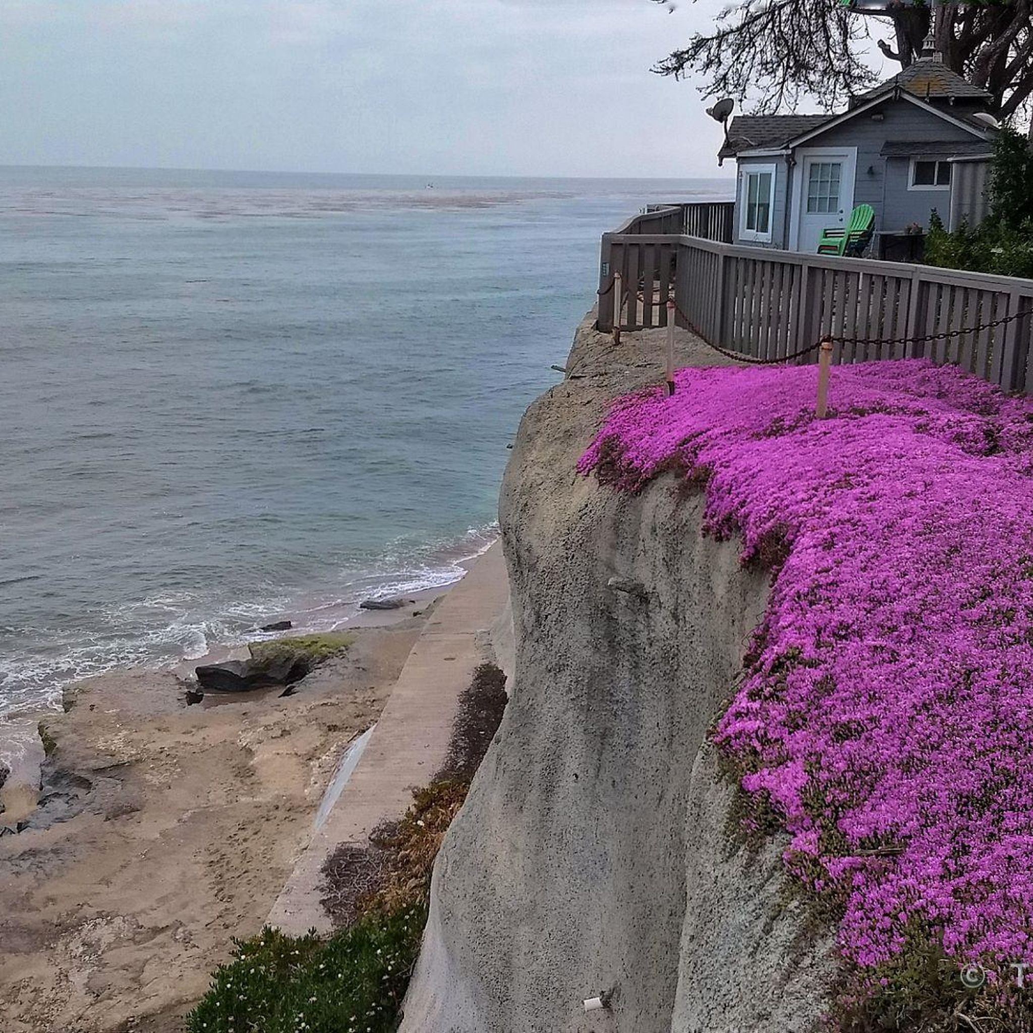
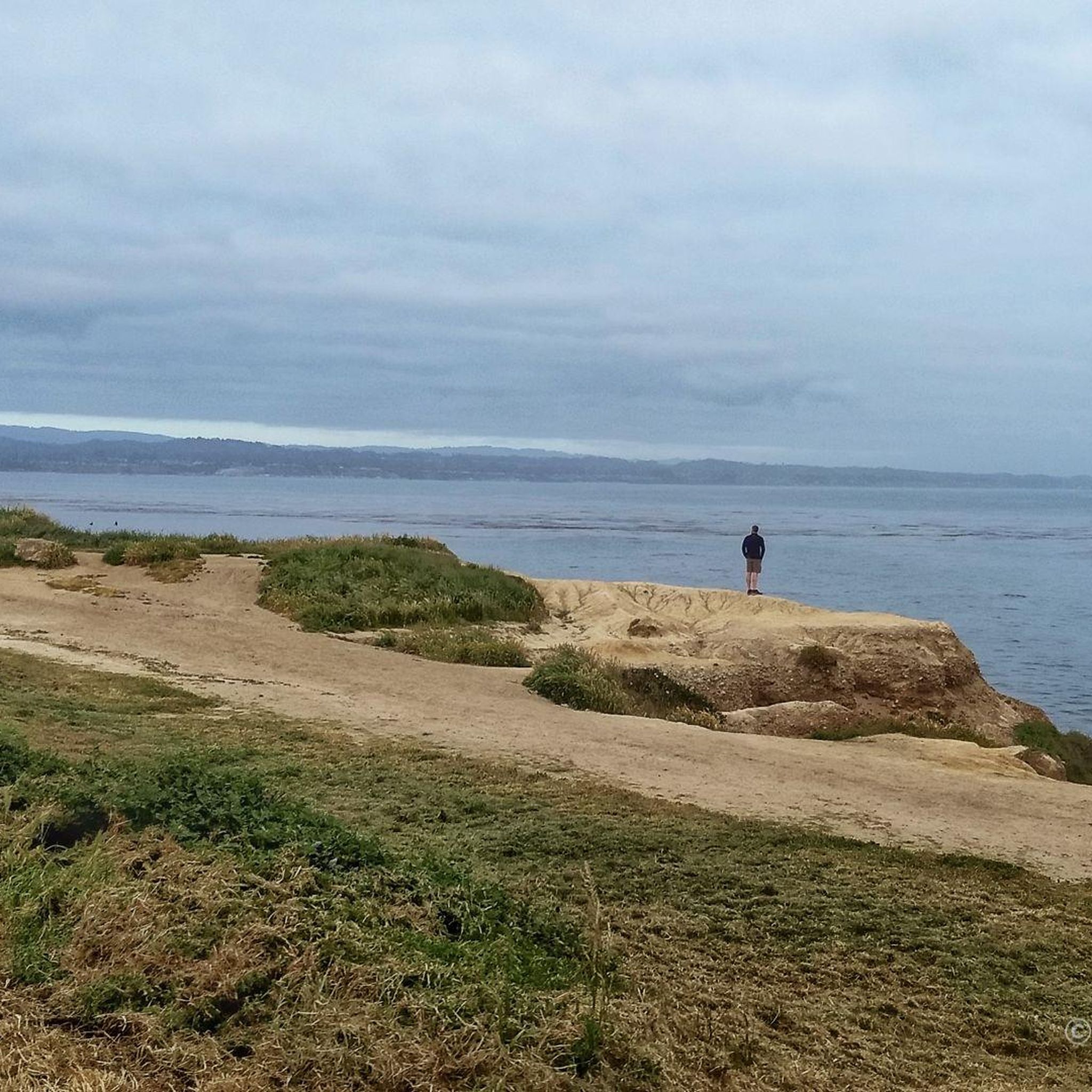
Nice little lookout point well off the beaten parh.
0
0
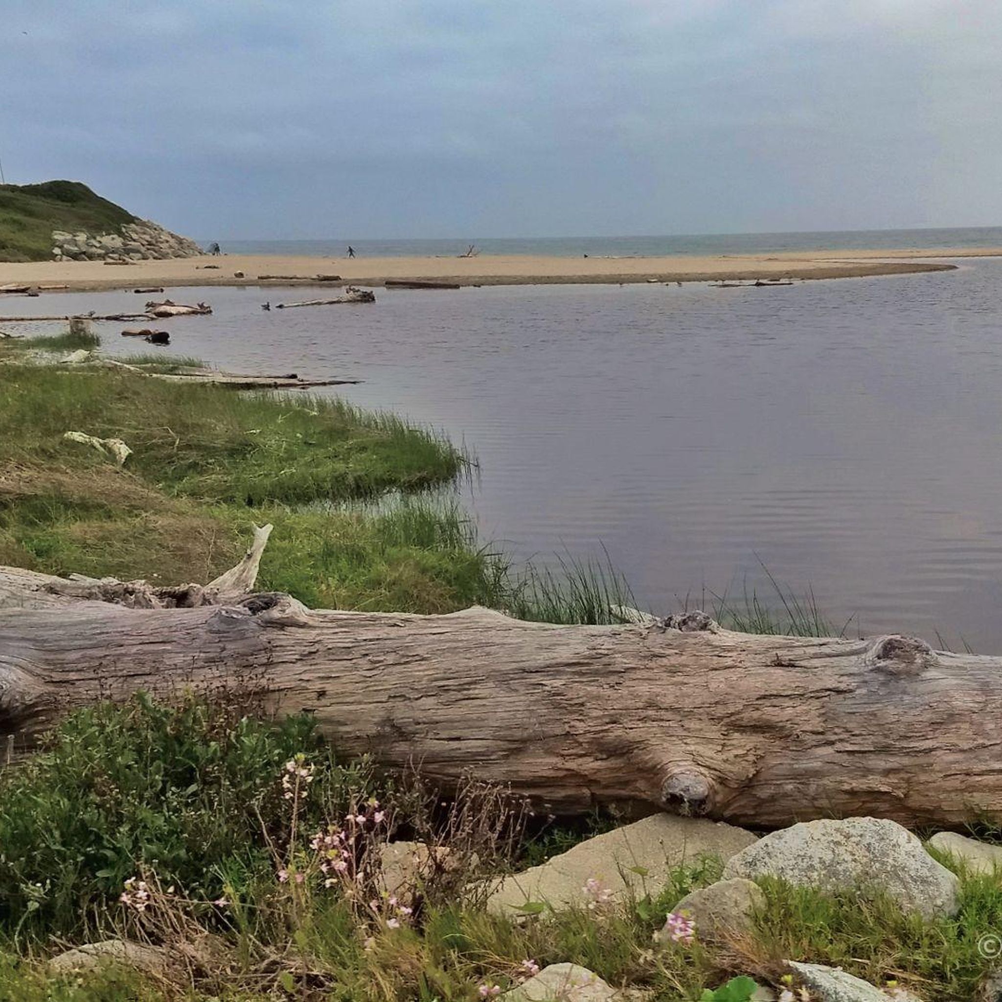
What's special about this path is that it takes you from Santa Cruz to the Wilder Ranch Park without using Route 1. Once there, you have multiple dirt path choices to ride around up into the park.
0
0

Northern entrance to the coastal park from Delaware Ave. The trailhead is pedestrian and biker only, The former road goes straight to the beach, while smaller trails turn east into the Monarch Butterfly Natural Preserve, and West into the upper portions of the State Beach Park.
1
0

A small but cozy beach along East Cliff Drive, featuring a lake and a park. There’s bike parking nearby and benches overlooking the water, making it a great spot to pause during your ride, enjoy the ocean views, or even take a refreshing dip. The beach is especially nice during low tide.
0
0

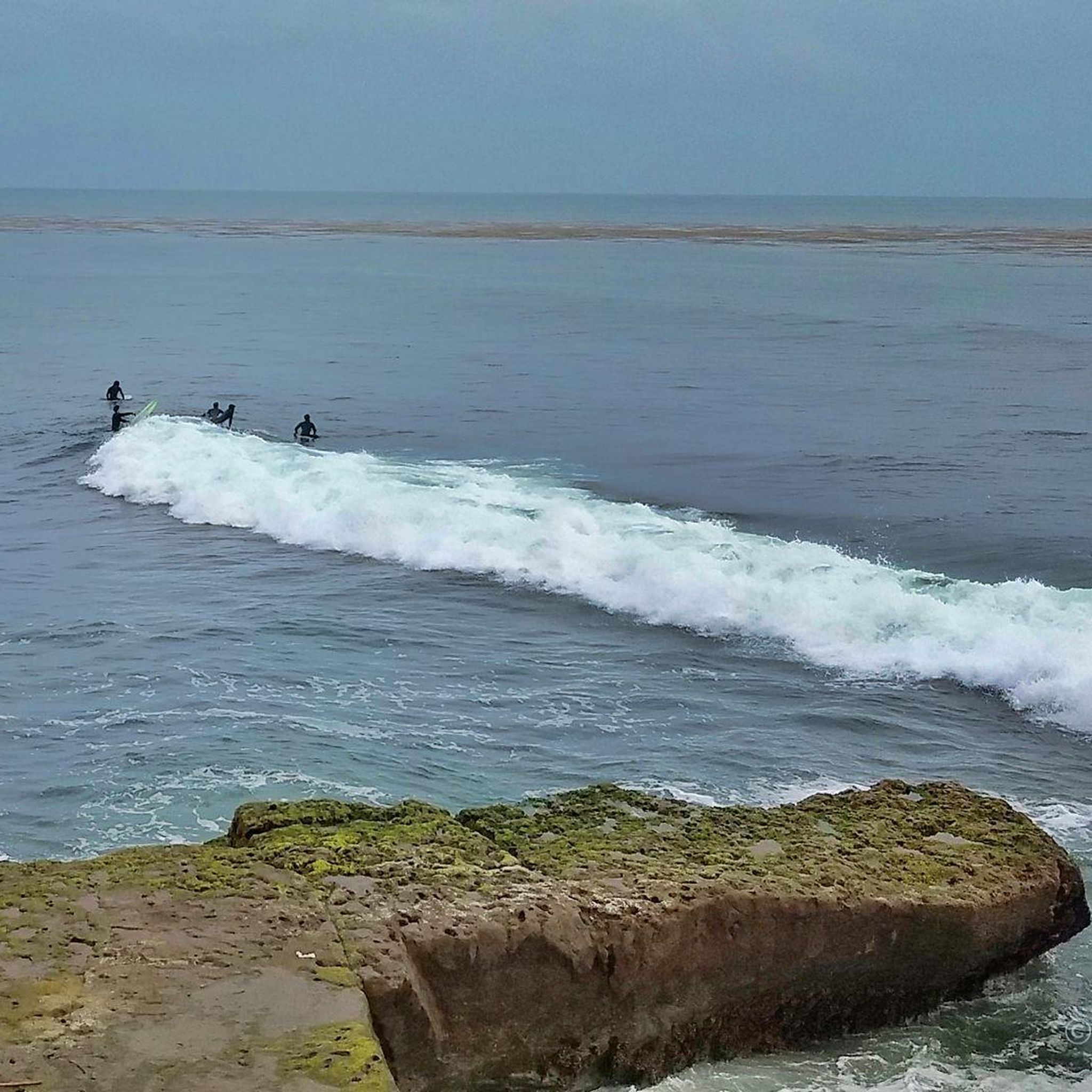
For cyclists exploring Santa Cruz, Pleasure Point Beach on 38th Avenue beckons with its beauty and recreational opportunities. Ideal for swimming, sunbathing, and surfing, the beach offers a picturesque setting. It is accessible via a brief walk from the road.
0
0

Twin Lakes State Beach features a mile of sandy shoreline for swimming and picnicking, situated near the Santa Cruz Harbor. Adjacent Schwan Lake Park offers picturesque walking trails through oak preserves and coastal grasslands, ideal for dog-walking and bird watching. The day-use area operates from sunrise to sunset.
0
0

The Seascape Village is a shopping center that offers a mix of boutique stores, eateries, and essential services. The shops are known for their blend of coastal charm and business.
0
0
The Santa Cruz Beach Boardwalk is California's oldest surviving amusement park. This 24-acre park was founded in 1907 and offers old-fashioned carnival games and food booths.
0
0
Frequently Asked Questions
How many road cycling routes are available around Pleasure Point?
There are over 130 road cycling routes around Pleasure Point, offering a diverse range of options for different skill levels and preferences.
Are there easy road cycling routes suitable for beginners or families in Pleasure Point?
Yes, Pleasure Point offers many easy road cycling routes. Approximately 40 routes are classified as easy. A great option for a scenic, less strenuous ride is the Pleasure Point Beach – West Cliff Cycleway loop from Capitola, which covers 21.6 miles (34.7 km) with minimal elevation changes along the coastline.
What are some more challenging road cycling routes for experienced riders?
For experienced road cyclists seeking a challenge, Pleasure Point has over 35 difficult routes. The Bonny Doon & California Coastal National Monument loop from Santa Cruz is a popular choice, featuring significant elevation gain over its 33.1 miles (53.3 km) and rewarding coastal views.
Can I find loop road cycling routes in Pleasure Point?
Yes, many road cycling routes in Pleasure Point are designed as loops, allowing you to start and end at the same point. For example, the Pleasure Point Beach – North Rodeo Gulch Road loop from Capitola is a 34.6-mile (55.7 km) route that combines coastal and inland roads.
What kind of scenery can I expect on road cycling routes around Pleasure Point?
Road cycling routes around Pleasure Point are characterized by diverse scenery, including coastal roads with ocean views, stretches along beaches, and paths through residential areas. Some routes extend into more rural landscapes, offering a mix of natural beauty and local charm.
What do other road cyclists enjoy the most about road cycling in Pleasure Point?
The area is highly rated by the komoot community, with an average score of 4.3 stars from over 40 reviews. Reviewers often praise the varied terrain, from flat coastal spins to more challenging rides with moderate climbs, and the beautiful coastal views.
Are there any interesting landmarks or natural attractions along the road cycling routes?
Yes, several natural attractions are accessible near the road cycling routes. You can find beautiful beaches like Moran Lake Beach and Park and Twin Lakes State Beach. Further afield, you might encounter natural monuments such as Natural Bridges State Beach or the Sandhills Observation Deck for panoramic views of the Pacific Ocean.
What is the typical duration for road cycling routes in Pleasure Point?
The duration of road cycling routes in Pleasure Point varies widely depending on the distance and elevation. For instance, an easy route like the Pleasure Point Beach – West Cliff Cycleway loop from Capitola typically takes around 1 hour 50 minutes, while longer, more challenging routes can take 2 hours 30 minutes or more.
Are there routes that combine coastal views with inland exploration?
Absolutely. Many routes offer a blend of coastal and inland scenery. The North Rodeo Gulch Road – Pleasure Point Beach loop from New Brighton State Beach is a good example, taking you through both the scenic coastline and the varied terrain of inland roads.
What is the best time of year for road cycling in Pleasure Point?
Pleasure Point generally offers pleasant road cycling conditions year-round, thanks to its mild coastal climate. Spring and fall often provide ideal temperatures and fewer crowds. Summer is also popular, though coastal fog can occur in the mornings, usually burning off by midday.
Are there any routes that pass through local towns or villages where I can stop for refreshments?
Yes, several routes pass through or near local towns and villages. For example, the Pleasure Point Beach – Capitola Village loop from Live Oak takes you through Capitola Village, a charming area known for its shops and cafes, perfect for a mid-ride break.
Most popular routes around Pleasure Point
Most popular attractions around Pleasure Point

Get inspired with the komoot mobile app


Explore more
Browse the best Road cycling routes in other regions.
