The best road cycling routes around Occidental
4.9
(20)
1,170
riders
73
rides
Road cycling routes around Occidental traverse a landscape characterized by rolling hills, dense redwood forests, and scenic coastal roads. The region offers varied terrain, from challenging climbs with significant elevation gain to more gentle routes winding through rural valleys. Cyclists can expect a mix of shaded forest sections and open stretches with views of the Pacific coastline.
Best road cycling routes around Occidental
- The most popular road cycling route is Monte Rio – Moscow Rd back route loop from Occidental…
Last updated: September 1, 2026
5.0
(4)
97
riders
89.9km
04:23
1,120m
1,120m
Hard road ride. Very good fitness required. Mostly well-paved surfaces and easy to ride.
5.0
(1)
69
riders
80.2km
04:16
1,170m
1,170m
Hard road ride. Very good fitness required. Mostly well-paved surfaces and easy to ride.

Sign up for free
5.0
(1)
32
riders
46.5km
02:32
740m
740m
Moderate road ride. Good fitness required. Mostly well-paved surfaces and easy to ride.
24
riders
55.8km
03:24
880m
880m
Moderate road ride. Good fitness required. Some segments of this route may be unpaved and difficult to ride.
5.0
(1)
15
riders
62.8km
03:05
720m
720m
Moderate road ride. Good fitness required. Mostly well-paved surfaces and easy to ride.
Get access to more routes and recommendations from other explorers.
Sign up for free
Already have an account?
Our route recommendations are based on thousands of hikes, rides, and runs completed by other people on komoot.
Start today with a free account
Your next adventure awaits.
Login or Signup
Tips from the Community

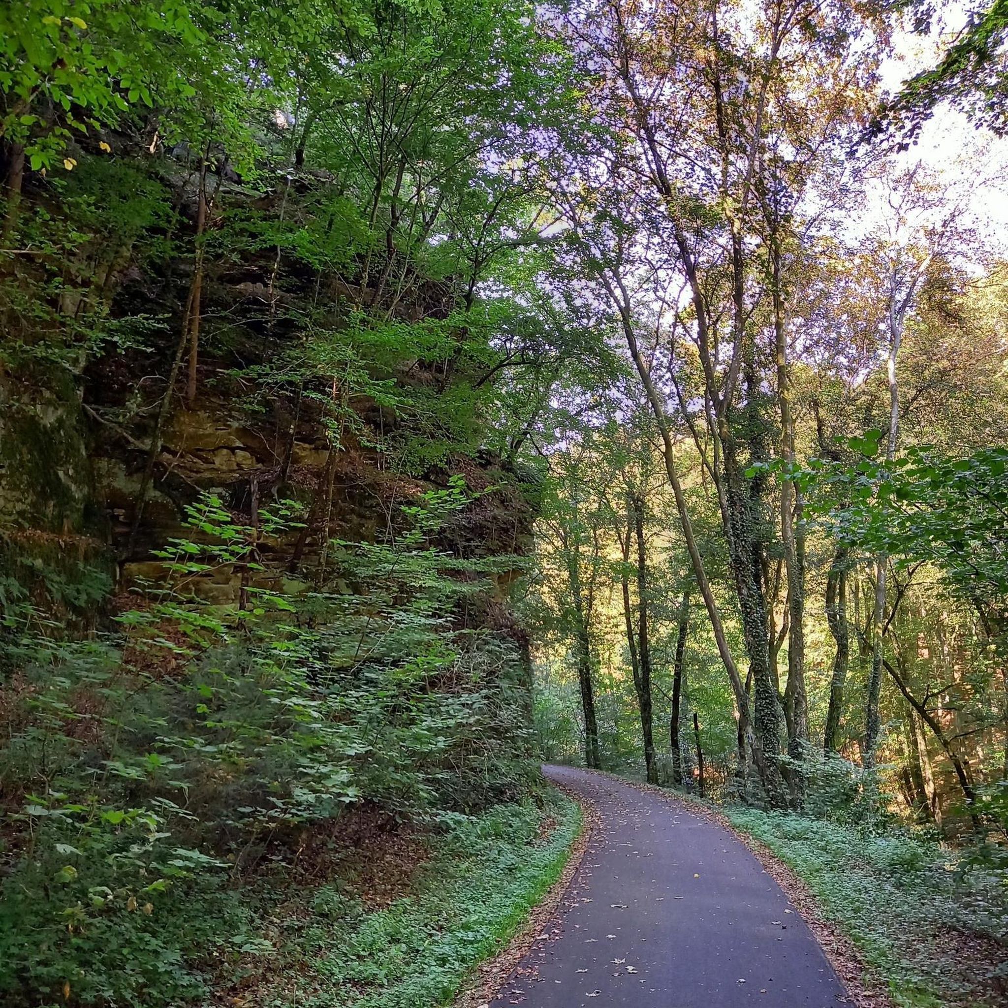
Pedestrian wooden bridge that has some steps, leading onto narrow but mostly quite residential roads into the forest.
0
0
Bohemian Highway winds along the shaded creekside. There is not much shoulder, but this segment is short, then there are again options to hop on trails up into the hills.
0
0
The recreated western town now houses restaurants, a General Store, and various smaller boutiques.
0
0

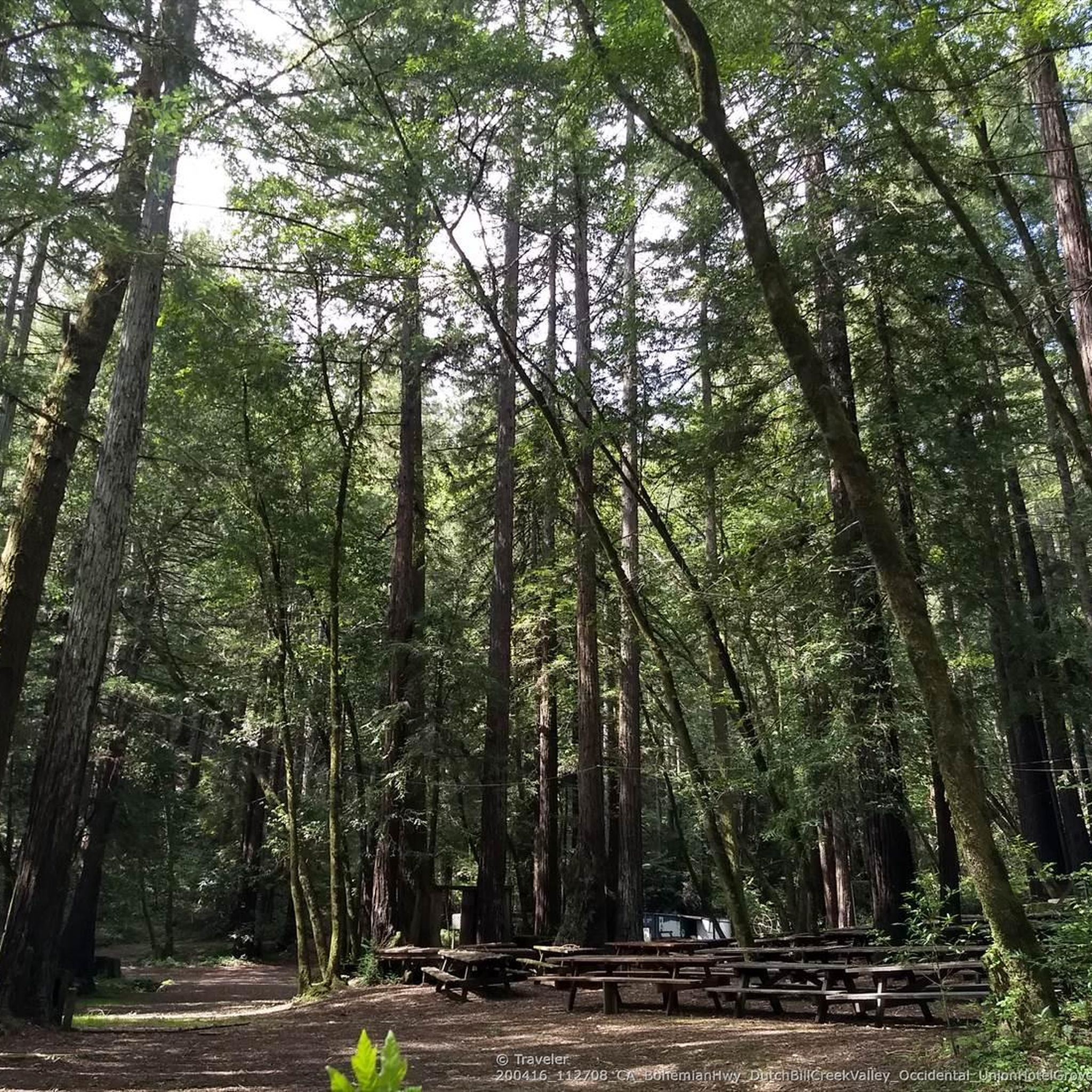
Lovely and long climb through the (partially Redwood) forest. Bottom half of the hill the road is a bit rough, be mindful when descending. Upper half has recently been repaved and is in good shape. Ride it early in the morning as it gets hot on a sunny day.
0
0

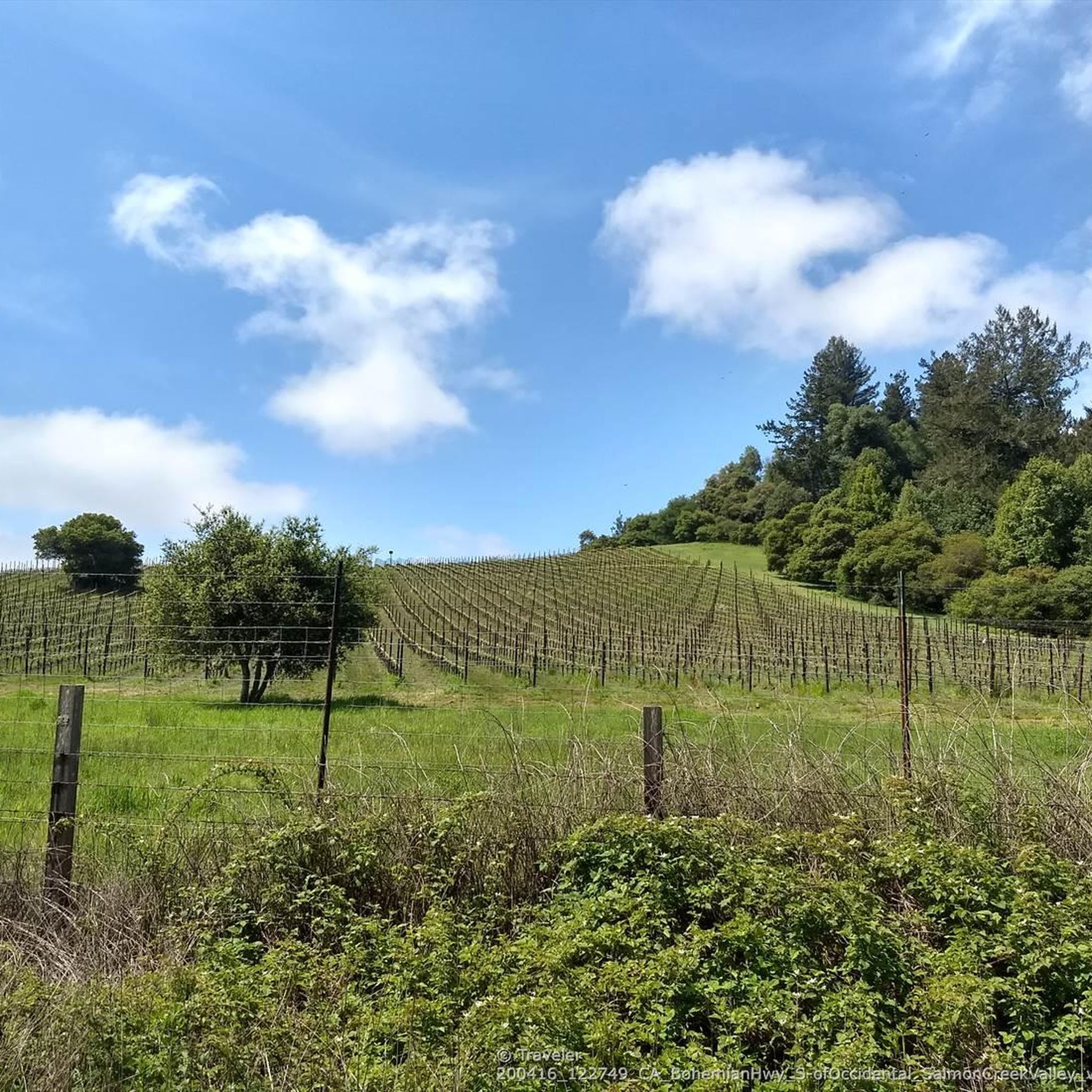
Bodega Highway follows scenic Salmon Creek for a few miles as both wind through the Sonoma countryside. Keep an eye out for wineries in the rolling hills.
0
0

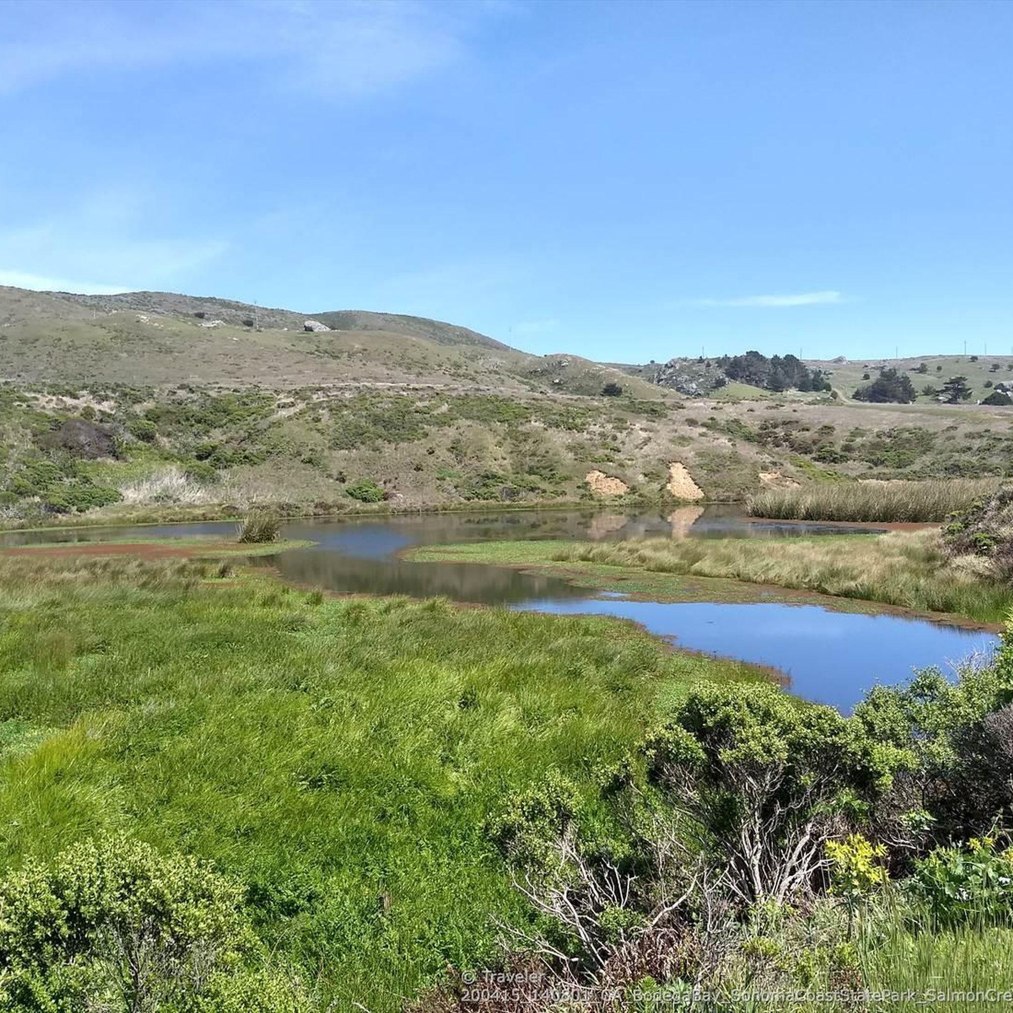
This small coastal lagoon is formed by a sandbar that dams Stemple Creek, which starts in the hills of Marin County and flows west near the mouth of Tomales Bay, southeast to Bodega Bay, northwest of Dillon Beach. A variety of seabirds and water species rely on its natural environment, including 923 acres of associated wetlands. The California Department of Fish and Wildlife identifies this marine protected area as one of the most significant habitat areas in the state.
1
0
Small costal town that still maintains a small fishing fleet, though most of the marina now holds recreational boats
0
0

Frequently Asked Questions
How many road cycling routes are available around Occidental?
There are over 75 road cycling routes around Occidental, providing a diverse selection for cyclists of all abilities. The komoot community has explored these routes over 900 times, highlighting the area's popularity for road biking.
What are the difficulty levels of road cycling routes in Occidental?
Occidental offers a good mix of routes: 9 are classified as easy, 55 as moderate, and 14 as difficult. This variety ensures there's a suitable ride for every experience level, from beginners to advanced cyclists seeking a challenge.
Are there any easy or beginner-friendly road cycling routes in Occidental?
Yes, there are 9 easy routes suitable for beginners. While specific routes are not detailed as 'easy' in the provided data, the region's varied terrain includes gentler sections. For a moderate option that might suit improving beginners, consider the Westminster Woods – Monte Rio loop from Joy School, which covers 45.7 km with 654 m of elevation gain.
Which road cycling routes offer a more advanced or challenging experience?
For advanced cyclists, Occidental features 14 difficult routes. Notable challenging options include the Gleason Beach – Salmon Creek loop from Sebastopol, a 83 km route with over 950 m of elevation, and the Monte Rio – Moscow Rd back route loop from Occidental, which is 79.4 km long with over 1160 m of climbing.
Are there any loop road cycling routes around Occidental?
Yes, many of the road cycling routes around Occidental are loops, allowing you to start and end in the same location. Examples include the popular Gleason Beach – Salmon Creek loop from Sebastopol and the Salmon Creek – North Salmon Creek Beach ⛱️ loop from Freestone Turnoff SB.
What kind of scenery can I expect on road cycling routes near Occidental?
Road cycling routes around Occidental are known for their diverse and scenic landscapes. You'll experience rolling hills, dense redwood forests providing shaded sections, and stunning coastal roads with views of the Pacific Ocean. Many routes also pass through rural valleys and charming small towns.
What are some interesting places or landmarks to see along the road cycling routes?
As you cycle, you might pass through or near interesting spots like the town of Sebastopol or the scenic Salmon Creek Valley. The Moscow Rd back route is also a notable section for its natural beauty.
What is the best time of year for road biking in Occidental?
The best time for road biking in Occidental is generally spring through fall, when the weather is mild and rainfall is less frequent. Summers are typically warm and dry, while spring and fall offer pleasant temperatures and vibrant scenery. Winter can bring rain, but many days are still suitable for cycling, especially on paved roads.
What should I wear for road biking in Occidental, considering the weather?
Given the varied terrain and proximity to the coast, layering is key. Even on warm days, coastal fog can bring cooler temperatures, especially in the mornings. A windbreaker or light jacket is advisable, along with moisture-wicking base layers. Sun protection is also important for open stretches.
Are there any less crowded road bike trails around Occidental?
While popular routes like the Gleason Beach loop can see more traffic, many of Occidental's routes wind through quieter rural roads and forested areas. Exploring some of the moderate or difficult routes, or cycling during off-peak hours, can often lead to a more serene experience away from crowds.
What do other road cyclists enjoy most about road cycling in Occidental?
The area is highly rated by the komoot community, with an average score of 4.7 stars from over 10 reviews. Reviewers often praise the region's combination of challenging climbs, beautiful coastal views, and the peaceful atmosphere of cycling through redwood forests and rural landscapes.
Are there road cycling routes that pass by places to stop for coffee or refreshments?
Many routes in Occidental pass through or near small towns like Occidental itself, Monte Rio, or Sebastopol, where you can find cafes and shops for refreshments. Planning your route to include these towns can provide convenient stops for coffee or a snack.
Most popular attractions around Occidental

Get inspired with the komoot mobile app


Explore more
Browse the best Road cycling routes in other regions.
