The best walks and hikes around Großer Stechlinsee
4.6
(4463)
15,481
hikers
500
hikes
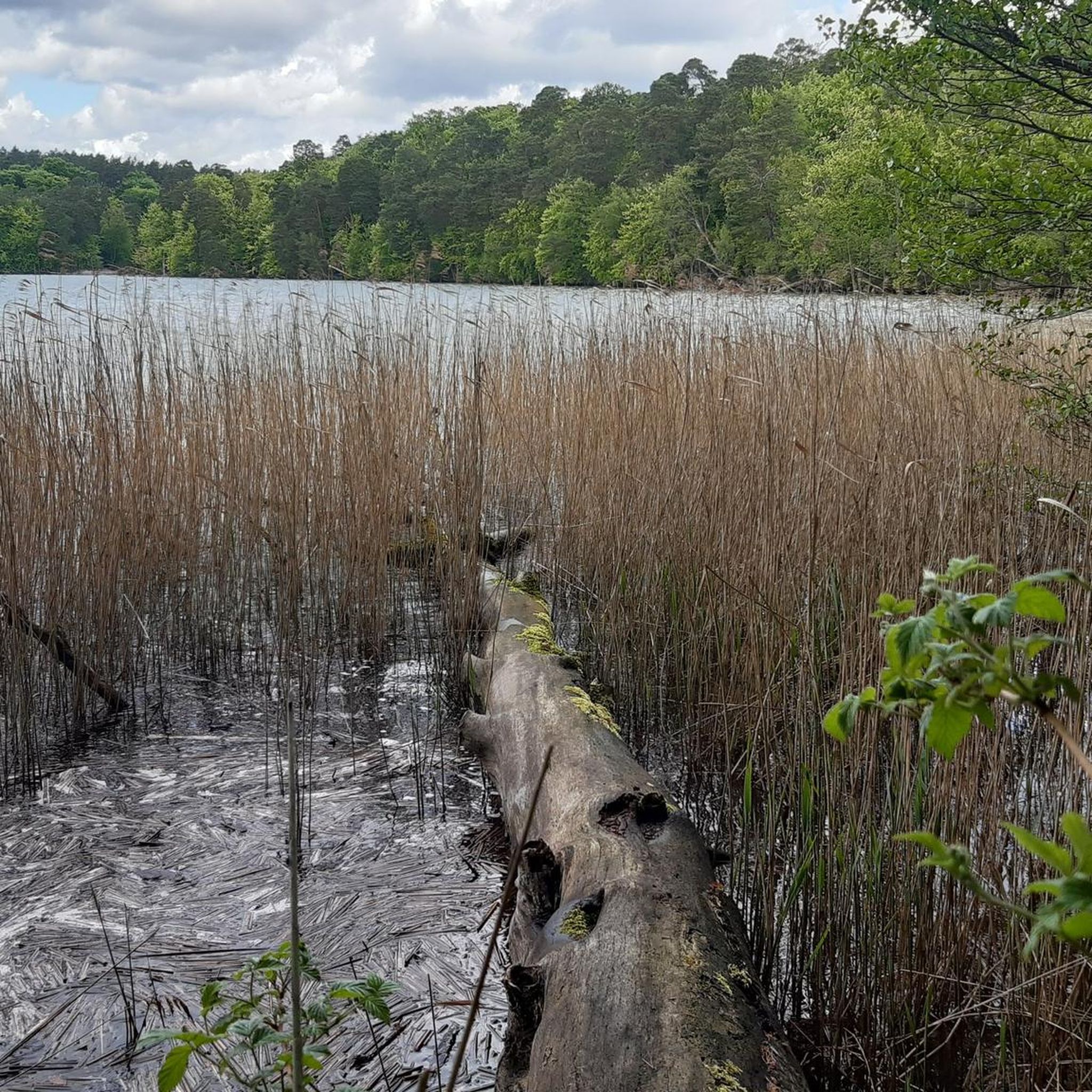
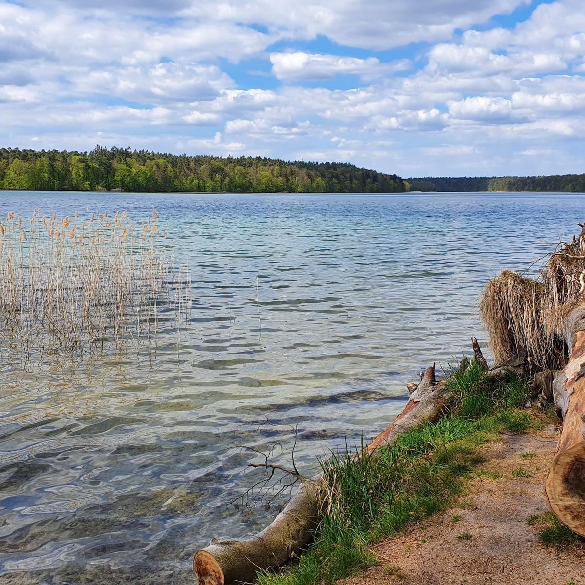
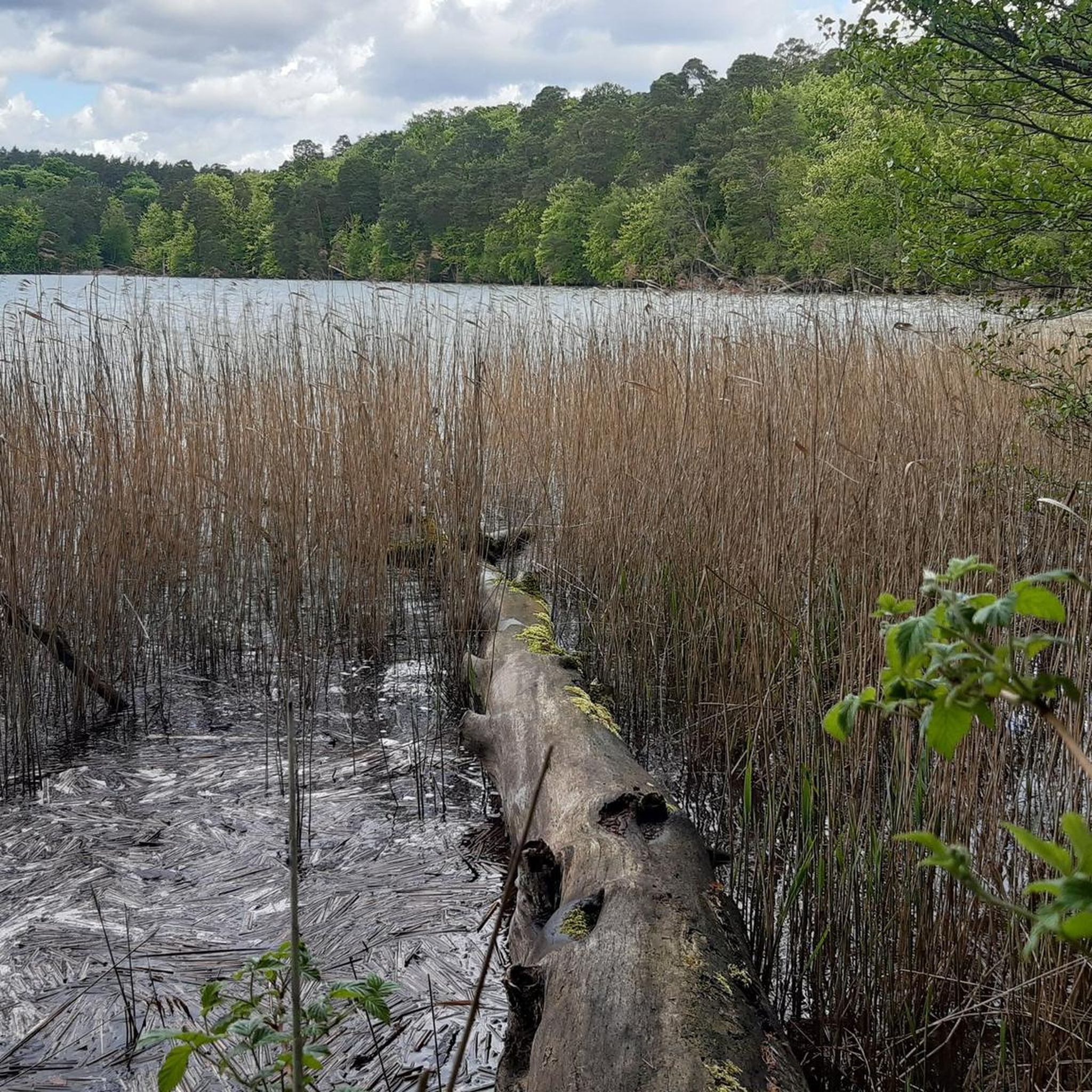
Hiking around Großer Stechlinsee offers routes through the Stechlin-Ruppiner Land Nature Park, characterized by its exceptionally clear lakes and diverse forests. Großer Stechlinsee is known as the deepest and one of the clearest lakes in Brandenburg, with visibility often reaching several meters. The surrounding landscape features expansive beech forests, some resembling primeval woodland, and a pleasant hilly terrain. This region provides varied hiking experiences amidst its natural charm.
Best hiking trails around Großer Stechlinsee
- The most popular hiking route is…
Last updated: October 16, 2026
13
hikers
7.02km
01:48
30m
30m
Easy hike. Great for any fitness level. Easily-accessible paths. Suitable for all skill levels.
5.0
(1)
12
hikers
4.97km
01:16
20m
20m
Easy hike. Great for any fitness level. Easily-accessible paths. Suitable for all skill levels.

5.0
(1)
7
hikers
Easy hike. Great for any fitness level. Easily-accessible paths. Suitable for all skill levels.
7.88km
02:02
40m
40m
Moderate hike. Good fitness required. Easily-accessible paths. Suitable for all skill levels.
4.8
(276)
867
hikers
16.6km
04:17
90m
90m
Moderate hike. Good fitness required. Easily-accessible paths. Suitable for all skill levels.
Get access to more routes and recommendations from other explorers.
Already have an account?
Our route recommendations are based on thousands of hikes, rides, and runs completed by other people on komoot.
Start today with a free account
Your next adventure awaits.

Other adventures around Großer Stechlinsee

Tips from the Community

The nature park is highly recommended - also for hikers!
0
0

Crystal clear water, a beautiful beach
0
0

Caution! The bridge is dilapidated and therefore extensively cordoned off.
0
0

Very nice place to linger, with a magical view over the Stechlin.
0
0

😍 Pure nature! Unfortunately, the bridge at the end is closed 🤷♂️ So it's either walking back or climbing...
1
0
Definitely worth seeing. It is especially worth knowing how it was created.
0
0
Very cozy. The regional offerings are appealing.
0
0
Friendly, delicious food and very accommodating.
0
0
Frequently Asked Questions
How many hiking trails are available around Großer Stechlinsee?
There are over 500 hiking trails around Großer Stechlinsee, offering a wide range of options for all skill levels. This includes more than 230 easy routes and over 250 moderate trails, ensuring there's a path for every hiker.
Are there easy hiking trails suitable for beginners or families?
Yes, the Großer Stechlinsee area offers numerous easy trails perfect for beginners and families. A good option is the The Lütker Bench – Großer Stechlinsee Beach loop from Neuglobsow, which is a shorter, pleasant walk. Many paths are relatively flat, winding through forests and along the lake shores.
Can I hike around the entire Großer Stechlinsee?
Yes, a popular option is the Großer Stechlinsee Loop Trail, a moderate 16.6 km (10.3 miles) path that circles the lake. This route typically takes around 4 hours and 17 minutes to complete, offering continuous views of the pristine waters and diverse forest sections.
What kind of natural features or attractions can I expect to see while hiking?
While hiking around Großer Stechlinsee, you'll encounter exceptionally clear lakes, expansive beech forests, and a pleasant hilly terrain. Key attractions include the Lake Stechlin itself, known for its clarity, and the Wooden bridge over the Polzow Canal, a scenic spot with clear water reflections. You can also find various Bathing spots at Stechlinsee for a refreshing dip.
Is Großer Stechlinsee suitable for hiking with dogs?
Yes, hiking with dogs is generally possible around Großer Stechlinsee. However, as the area is part of the Stechlin-Ruppiner Land Nature Park, it's important to keep dogs on a leash to protect wildlife and ensure a pleasant experience for all visitors. Always check local signage for specific regulations.
What is the best time of year to go hiking around Großer Stechlinsee?
The Großer Stechlinsee region is beautiful year-round. Spring offers lush greenery and blooming flora, while autumn provides stunning fall colors in the beech forests. Summer is ideal for combining hiking with swimming in the clear lake. Even in winter, the serene, often snow-dusted landscapes offer a unique hiking experience.
Are there options for public transport to reach the hiking trails?
Yes, the village of Neuglobsow, located on the eastern shore of Stechlinsee and a common starting point for many trails, can be reached by public transport. Regional buses connect Neuglobsow to nearby train stations, such as Fürstenberg/Havel, which has direct train connections. It's advisable to check current bus schedules before your trip.
Where can I find parking near the hiking trails?
Parking is available in and around Neuglobsow, which serves as a primary access point for many trails, including the popular Großer Stechlinsee Loop Trail. Designated parking areas are usually signposted within the village and near trailheads. Some smaller parking spots might also be found near other access points around the lake.
What do other hikers say about the trails around Großer Stechlinsee?
The trails around Großer Stechlinsee are highly rated by the komoot community, with an average score of 4.6 stars from over 4000 reviews. Hikers frequently praise the exceptional clarity of the lake, the peacefulness of the expansive beech forests, and the well-maintained paths that offer constant beautiful views.
Can I go swimming in Großer Stechlinsee after a hike?
Absolutely! Großer Stechlinsee is renowned for being one of Germany's clearest lakes, with visibility often reaching up to eleven meters. There are several designated Bathing spots at Stechlinsee, particularly on the northern shore, where you can enjoy a refreshing swim in its pristine waters after your hike.
Are there any specific regulations or permits required for hiking in the nature park?
Großer Stechlinsee is located within the Stechlin-Ruppiner Land Nature Park. While no specific hiking permits are generally required for day hikes on marked trails, it's crucial to respect nature park rules. This includes staying on marked paths, not disturbing wildlife, and observing leash laws for dogs. The visitor center in Menz can provide more detailed information.
Are there any longer, more challenging hiking routes in the area?
For those seeking a greater challenge, the region offers longer routes beyond the main lake loop. The View of Lake Stechlin – North Bay of Lake Stechlin loop from Neuglobsow is a more demanding 22.3 km (13.9 miles) trail. Additionally, the 250-kilometer Ruppiner Land Circular Trail passes through the area, offering sections for ambitious hikers.
Most popular routes around Großer Stechlinsee
Most popular attractions around Großer Stechlinsee

Get inspired with the komoot mobile app


Explore more
Browse the best Hikes in other regions.
