The best road cycling routes around Modjeska
4.6
(12)
532
riders
35
rides
Road cycling around Modjeska offers diverse routes through the foothills of the Santa Ana Mountains in Orange County, California. The region is characterized by scenic canyons, rolling hills, and oak-lined roads, providing a rural cycling experience. Cyclists can navigate winding stretches and varied terrain, with routes ranging from moderate paths to more strenuous climbs. The area's physical features include access to higher elevations like Santiago Peak and Modjeska Peak, though most routes remain in the lower canyons and foothills.
Best road cycling routes around Modjeska
- The most popular road cycling route is Whiting Ranch Tunnel – Aliso Creek Bikeway loop from Saddleback Church, a 18.8 miles (30.2 km) trail that takes 1 hour 32 minutes to complete. This route offers a moderate ride through varied terrain, including sections of the Aliso Creek Bikeway.
- Another top favourite among local road cyclists is Aliso Creek Bikeway – Santiago Canyon Road loop from Saddleback Church, a moderate 39.0 miles (62.8 km) path. This route incorporates the scenic Santiago Canyon Road, known for its winding stretches and rolling hills.
- Local road cyclists also love the Cook's Corner – Santiago Canyon Road loop from Saddleback Church, a 37.6 miles (60.4 km) trail leading through rolling hills and past the notable Cook's Corner, often completed in about 3 hours 7 minutes.
- Road cycling around Modjeska is defined by rolling hills, scenic canyons, and oak-lined roads. The network offers options for different ability levels, from moderate rides to more challenging routes with significant elevation gain.
- The routes in Modjeska are highly rated by the komoot community with an average score of 4.75 stars from over 10 reviews. More than 750 road cyclists have used komoot to explore Modjeska's varied terrain.
Last updated: July 8, 2026
5.0
(1)
68
riders
30.2km
01:33
290m
290m
The Whiting Ranch Tunnel – Aliso Creek Bikeway loop is one of the best road cycling loops Orange County has to offer, blending urban parkland with natural riparian and oak woodland canyons. You'll enjoy a mostly paved surface along the Aliso Creek Bikeway, winding through diverse scenery including coastal sage scrub and rolling grassland hills. This moderate 18.8 miles (30.2 km) route features 965 feet (294 metres) of elevation gain, making for a sustained effort on the uphill sections and a pleasant downhill return.
For planning your visit, you can start this popular route from Saddleback Church, where parking is available. The trail system is accessible year-round, and you'll find well-maintained rest areas with water stations along the way, which is helpful for staying hydrated. While the route is generally well-kept, be mindful of potential cracks or bumps on some older sections of the Aliso Creek Trail. Knowing how long does Whiting Ranch Tunnel Aliso Creek Bikeway loop take by bike, about 1 hour and 32 minutes, helps you plan your day.
This loop is recognized as the most popular road cycling route in Whiting Ranch Wilderness Park, offering crucial connectivity to the wider OC Parks Regional Trails system. Along the way, you might even spot historical sites, such as an adobe house built in the 1840s, adding a touch of local history to your ride. It's a highly-rated route within the cycling community for its blend of nature and adventure.
19
riders
Moderate road ride. Good fitness required. Mostly well-paved surfaces and easy to ride.

Sign up for free
4.0
(2)
24
riders
60.9km
03:12
540m
540m
The Laguna Niguel Lake – Salt Creek Beach loop offers a fantastic road cycling experience, transitioning from the calm waters of Laguna Niguel Lake to the dramatic coastal bluffs of Salt Creek Beach. You'll pedal through diverse ecosystems, enjoying serene lake views, then winding through canyons with glimpses of the Pacific Ocean. Keep an eye out for local wildlife like red-tailed hawks and white pelicans as you navigate this varied terrain, which includes both flat sections and consistent climbs.
This moderate 37.8-mile (60.9 km) route, with 1771 feet (540 metres) of elevation gain, typically takes around 3 hours and 11 minutes. Starting from Saddleback Church, you'll connect to well-maintained paved multi-use paths. Restrooms and picnic areas are available along the way, particularly at Laguna Niguel Regional Park and Salt Creek Beach, making it easy to refuel and refresh. Parking at Saddleback Church for cyclists is a convenient option for starting this journey.
What makes this route stand out is its seamless connection between inland natural beauty and the ocean. It's a popular choice for those seeking a comprehensive Orange County road cycling route that combines the tranquility of a freshwater lake with the invigorating challenge of a coastal ride. The gradual descent to the beach means you'll have a rewarding climb on the return, offering a good workout with stunning scenery.
17
riders
26.0km
01:27
480m
480m
Moderate road ride. Good fitness required. Some segments of this route may be unpaved and difficult to ride.
6
riders
34.5km
01:58
420m
420m
Moderate road ride. Good fitness required. Some segments of this route may be unpaved and difficult to ride.
Get access to more routes and recommendations from other explorers.
Sign up for free
Already have an account?
Our route recommendations are based on thousands of hikes, rides, and runs completed by other people on komoot.
Start today with a free account
Your next adventure awaits.
Login or Signup
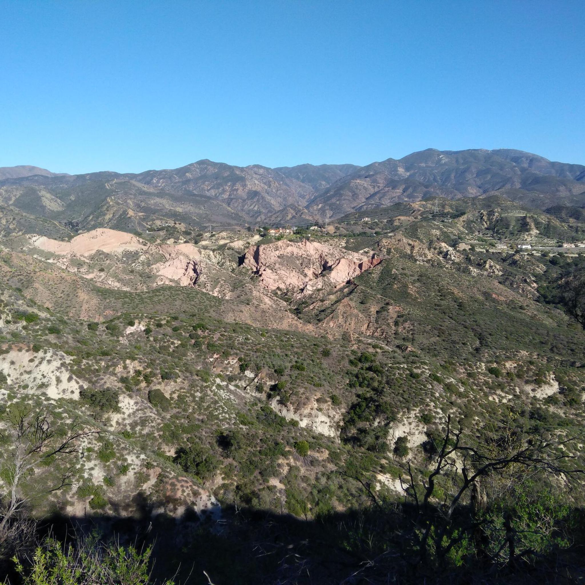
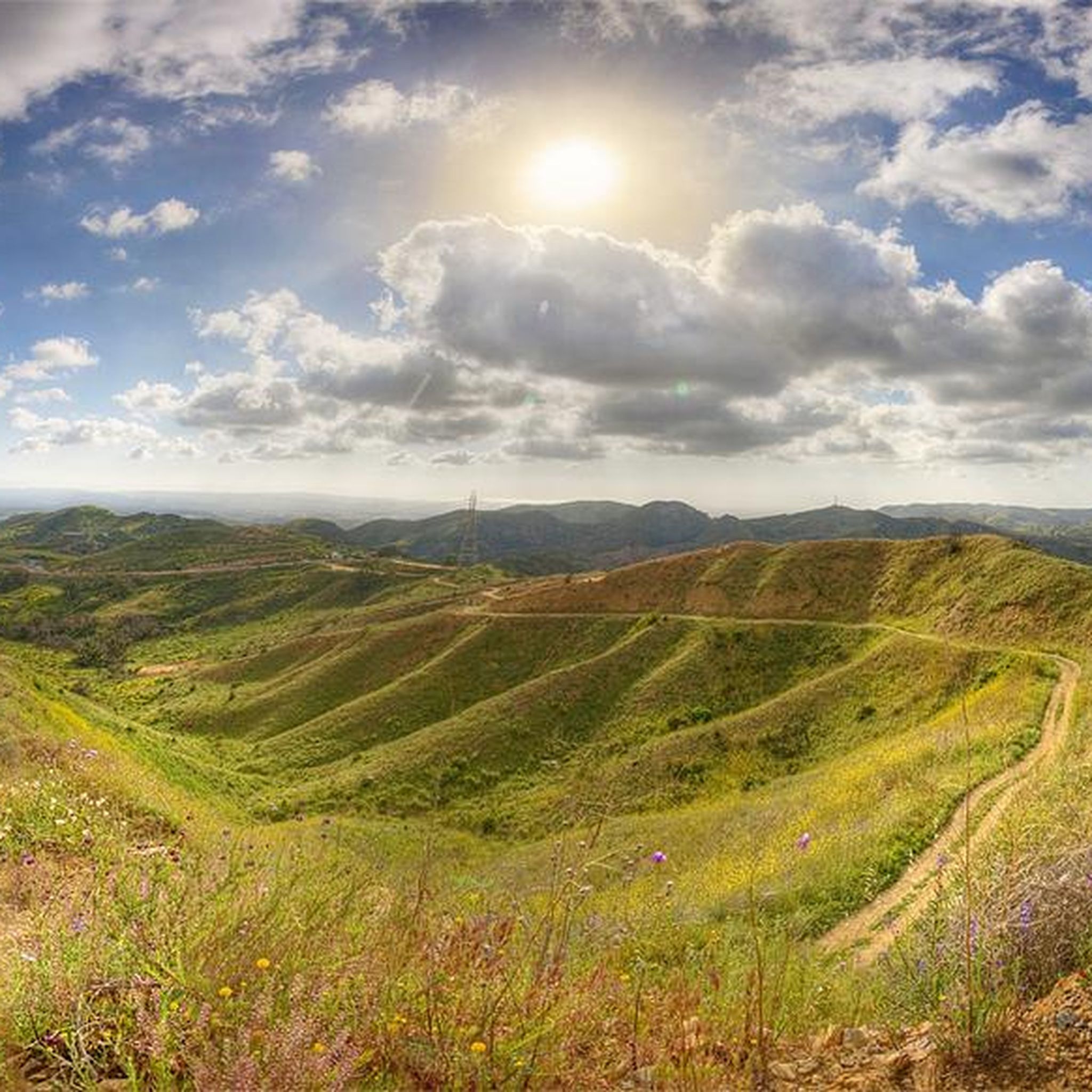

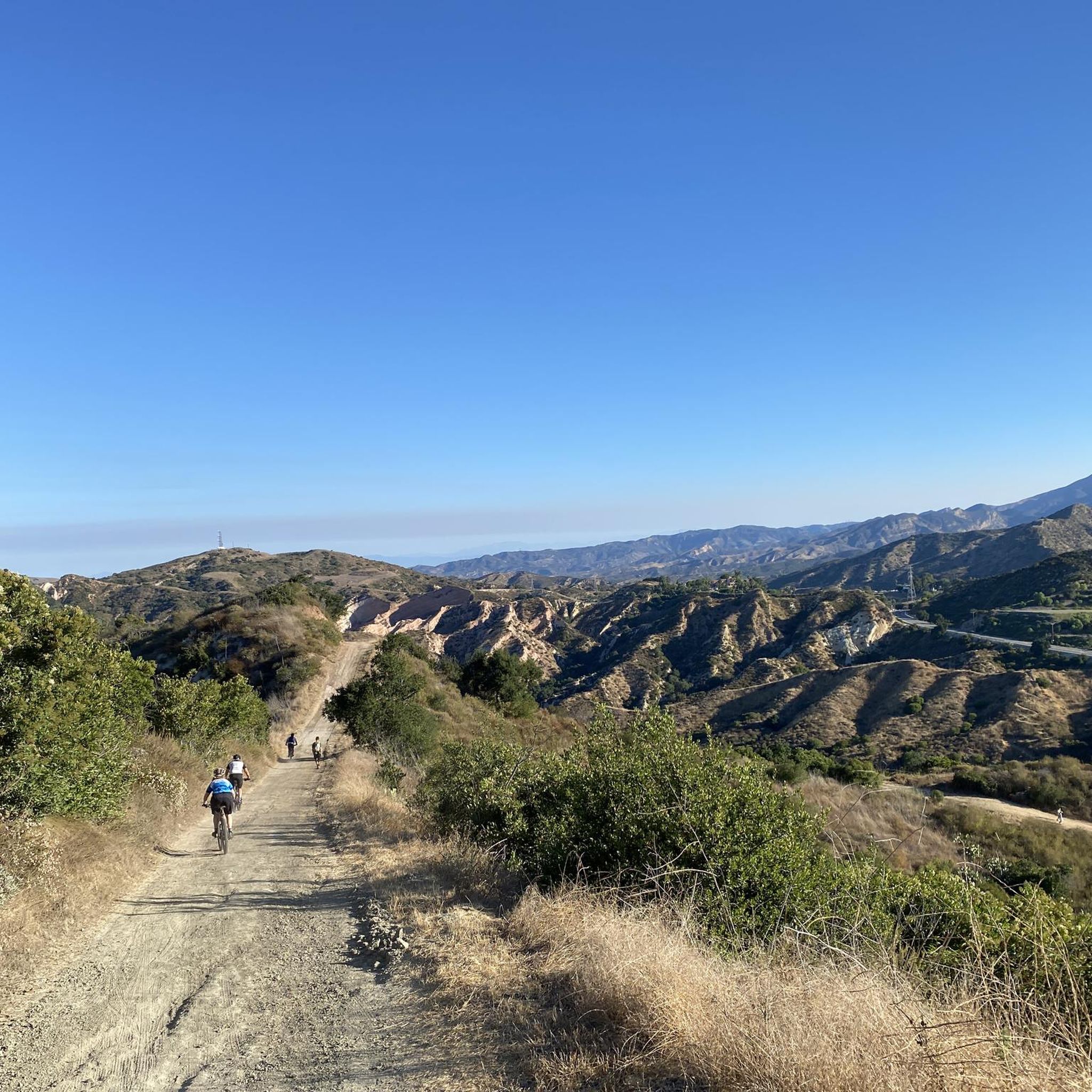
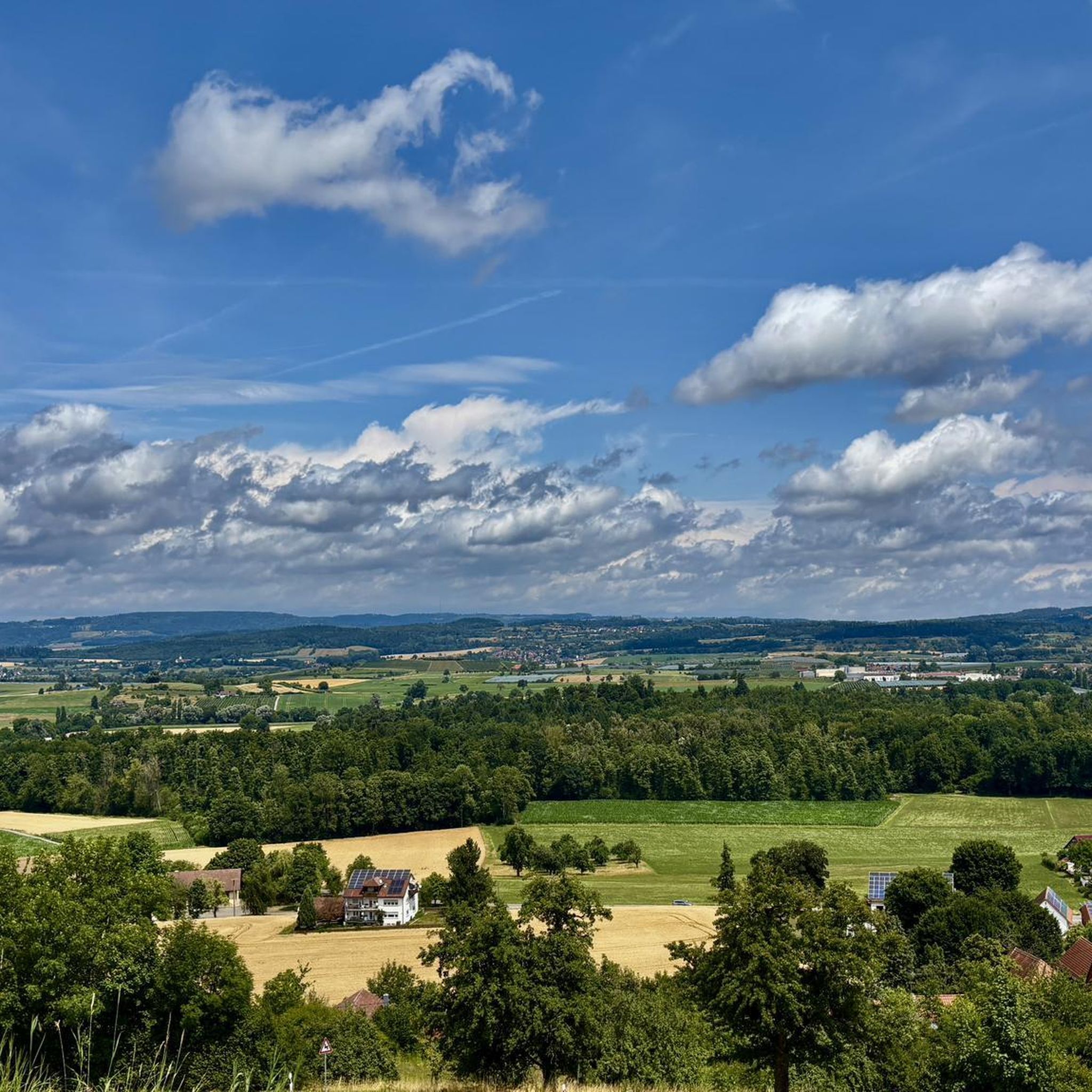
Tips from the Community

Santiago Canyon Road is a scenic favorite for road cyclists in Orange County. It’s a long, winding stretch with rolling hills, light traffic, and wide shoulders in most parts. The views of open hills and oak trees make the climb worth it, and you’ll find classic stops along the way for a break.
0
0
Cook’s Corner is a classic stop for cyclists riding through Santiago Canyon and one of the most popular biker hangouts in Southern California. It’s casual and bike-friendly, with shaded picnic tables and plenty of space to park. Grab a burger or a cold drink, rest your legs, and soak in the lively atmosphere—especially on weekends when it’s packed with motorcycles and live music.
0
0

The Aliso Creek Trail goes from South Laguna to Rancho Santa Margarita. It is an 18.5-mile multi use trail corridor that goes through a number of parks on the way. There are plenty of rest areas on the way for you. Starting shoreside, the trail goes gradually uphill, but it will be a fun trip on the way back.
0
0

Santiago Canyon Road is a great option for a ride with rolling hills and great views. As you get to the top of each hill, you are treated with a great view of the valley you just climbed out of.
0
0

Laguna Niguel Lake, formerly known as Sulphur Creek Reservoir, is a 44-acre recreational lake that was created by the Sulphur Creek Dam. The fee to access the park and lake is $3 on weekdays, $5 on weekends, and $7 on holidays.
0
0

The trail is a scenic two-lane paved path that crosses under Niguel Road just north of here and connects up with Chapparosa Park and beyond to Colinas Ridge and Trabuco Creek. The trail stays in the creek valley and avoids crossing any roads on its way south to Salt Creek Beach.
0
0

Beautiful Salt Creek Beach is a lovely location. It's a small cove that offers surfers a surprising variety of waves, from mushy beginners waves to punchy tubes. It has been and still is home to some real surfing legends. It's a popular trail, so be respectful and dismount to observe pedestrianized areas.
0
0

This entrance leads you inside the Whiting Ranch Wilderness Park trail system. There is parking near the trailhead and trails are open from 7:00 am to sunset. No dogs are allowed in the park.
0
0
Frequently Asked Questions
What kind of terrain can I expect on road cycling routes around Modjeska?
Road cycling around Modjeska features diverse terrain, primarily characterized by scenic canyons, rolling hills, and oak-lined roads. You'll find winding stretches and varied surfaces, offering a rural cycling experience through the foothills of the Santa Ana Mountains.
How many road cycling routes are available in the Modjeska area?
There are over 30 road cycling routes available around Modjeska, catering to various skill levels. This includes 8 easy routes, 23 moderate routes, and 2 more challenging options for experienced cyclists.
Are there any challenging road cycling routes with significant elevation gain?
Yes, for those seeking a challenge, routes like the Cook's Corner – Santiago Canyon Road loop from Saddleback Church offer significant elevation gain, with nearly 1000 meters (3,280 feet) of climbing. The region also provides access to higher elevations like Santiago Peak and Modjeska Peak, though the most strenuous climbs, such as Harding Truck Trail, may involve unpaved sections.
What natural features or landmarks can I see along the road cycling routes?
Many routes offer views of the Santa Ana Mountains and canyons. You might encounter natural features like the red sandstone formations of the Red Rock Trail in Whiting Ranch Wilderness Park, or the scenic Black Star Falls, though reaching the falls themselves requires leaving your bike. The area is rich in oak trees and offers expansive vistas from higher points.
Are there any places to stop for refreshments or rest along the routes?
Yes, a popular and bike-friendly stop is Cook's Corner, located along Santiago Canyon Road. It's a classic spot for cyclists to rest, grab a meal, and enjoy the lively atmosphere, especially on weekends. Routes like the Cook's Corner – Santiago Canyon Road loop specifically incorporate this notable landmark.
What is the best time of year to go road cycling in Modjeska?
Modjeska's climate generally allows for cycling year-round. However, the spring and fall months often offer the most pleasant temperatures for longer rides. Summers can be hot, especially in the canyons, so early morning rides are recommended during those months. Winters are mild but can bring occasional rain.
Are there any beginner-friendly road cycling routes in Modjeska?
Yes, Modjeska offers several easier routes suitable for beginners. For instance, the Whiting Ranch Tunnel – Aliso Creek Bikeway loop from Saddleback Church is a moderate route that includes sections of the Aliso Creek Bikeway, providing a less strenuous option. There are 8 routes classified as 'easy' in the region.
What do other road cyclists enjoy most about cycling in Modjeska?
The Modjeska area is highly rated by the komoot community, with an average score of 4.75 stars from over 10 reviews. Cyclists often praise the scenic canyons, rolling hills, and the rural charm that offers a refreshing contrast to urban areas. The diverse routes catering to various fitness levels and the presence of bike-friendly stops like Cook's Corner are also frequently highlighted.
Are there any circular road cycling routes in the Modjeska area?
Yes, many of the road cycling routes around Modjeska are designed as loops. Examples include the Whiting Ranch Tunnel – Aliso Creek Bikeway loop and the Aliso Creek Bikeway – Santiago Canyon Road loop, which allow you to start and end at the same point while exploring different sections of the region.
Is there public transport access to the Modjeska Canyon cycling routes?
Modjeska Canyon is a more rural area, and direct public transport options to the specific trailheads are limited. Most cyclists typically drive to the area, often parking near common starting points like Saddleback Church or other designated parking areas to access the routes.
Are there any permits required for road cycling in Modjeska?
Generally, no specific permits are required for road cycling on public roads and designated bikeways in the Modjeska area. However, if your route takes you into specific wilderness parks or private lands, it's always advisable to check their individual regulations for any access requirements or fees.
Can I find routes that are suitable for families with children?
While many routes involve public roads, some sections of bikeways, like parts of the Aliso Creek Bikeway, can be more suitable for families, offering flatter and more separated paths. For very young children, it's best to stick to dedicated, traffic-free bike paths. Always assess the route's traffic and difficulty before heading out with family.
Most popular attractions around Modjeska

Get inspired with the komoot mobile app


Explore more
Browse the best Road cycling routes in other regions.
