The best walks and hikes around Meiners Oaks
4.8
(17)
266
hikers
43
hikes
Hikes around Meiners Oaks explore the Ojai Valley, which is defined by its varied landscapes. The region features riparian habitats along the Ventura River, chaparral-covered hillsides, and oak woodlands. Trails navigate through several preserves and provide access to the expansive Los Padres National Forest, offering routes with varied elevation and terrain.
Best hiking trails around Meiners Oaks
- The most popular hiking route is the Wills-Rice Trail loop — Ventura River Preserve, a 5.3 mile (8.5 km) trail that takes…
Last updated: October 10, 2026
2
hikers
3.31km
01:10
330m
0m
Hike the moderate 2.1-mile Pratt Trail to Magic Mountain in Los Padres National Forest, gaining 1081 feet with views of Ojai Valley.
831m
00:13
20m
0m
The Ojai Meadows Preserve Trail offers a delightful, easy hike through a beautifully restored wetland ecosystem. You'll wander along flat, unpaved paths, enjoying views of the surrounding mountains like Chief…

4.7
(3)
35
hikers
5.16km
01:40
240m
240m
If you're in Ojai and want a taste of Southern California's diverse landscapes, the Pratt, Foothill, and Fox Canyon Trails Loop is a great pick. This easy 3.2-mile (5.2 km)…
5.0
(2)
35
hikers
8.50km
02:20
140m
140m
Hike the moderate 5.3-mile Wills and Rice Canyon Loop in Ventura River Preserve, featuring river crossings, oak forests, and Ojai Valley vie
5.0
(1)
12
hikers
11.4km
03:25
380m
380m
Hike the moderate Fuel Break Road and Shelf Road loop in Valley View Preserve, offering 7.1 miles of diverse terrain and panoramic Ojai Vall
Get access to more routes and recommendations from other explorers.
Already have an account?
Our route recommendations are based on thousands of hikes, rides, and runs completed by other people on komoot.
Start today with a free account
Your next adventure awaits.

Tips from the Community

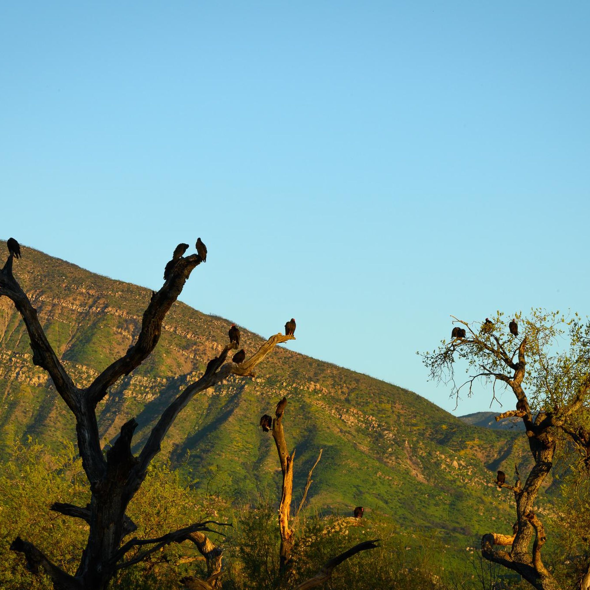
Ojai Meadows Preserve is a tranquil sanctuary in California, renowned for its diverse wildlife and vibrant ecosystem. Spanning 58 acres, it offers scenic trails, birdwatching opportunities, and educational programs, inviting visitors to connect with nature's beauty.
0
0

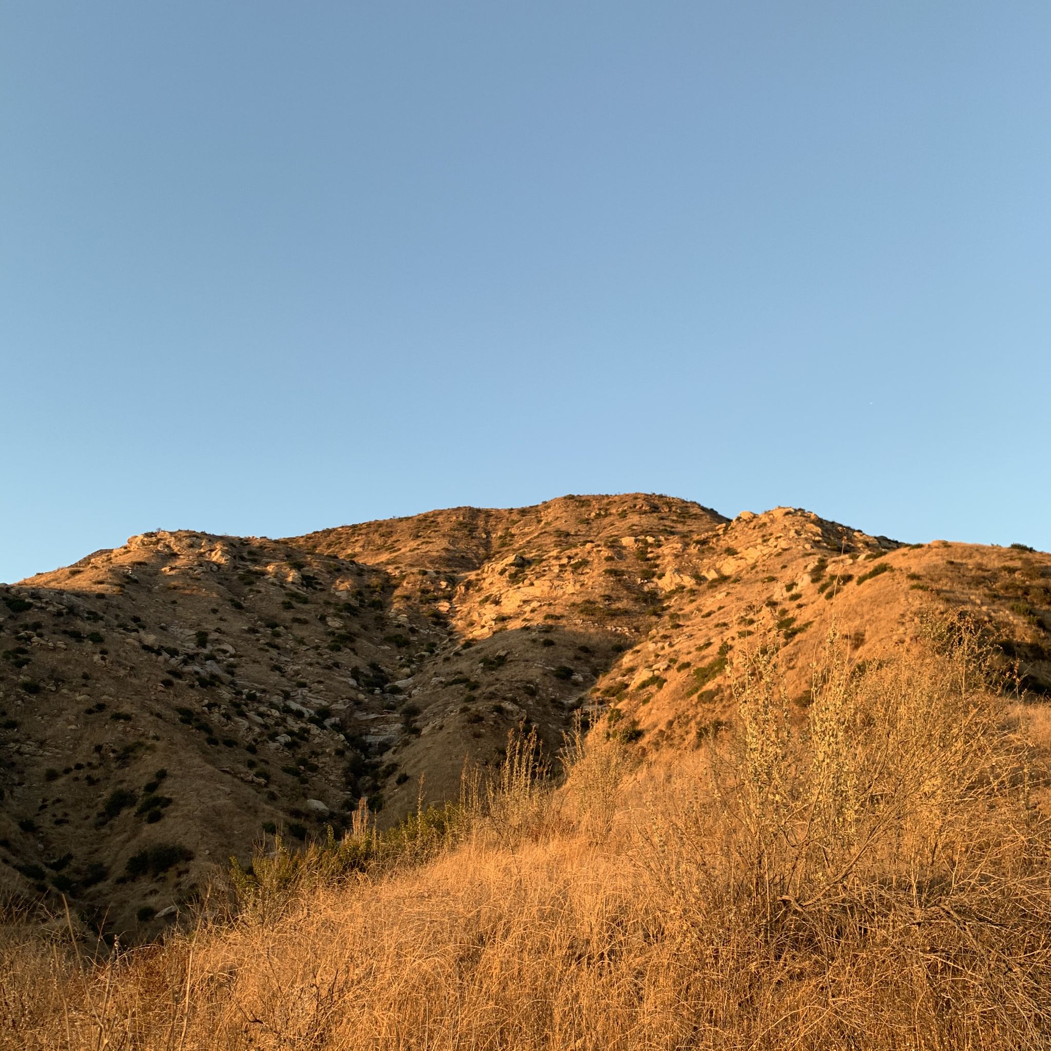
This trailhead marks the start of the 3.33-mile-long Pratt Trail, which concludes at Nordhoff Ridge, one mile west of the old Lookout Tower. The lower section of the trail intersects with the Cozy Dell Trail, Foothill Trail, and the Ojai Fuelbreak Road, providing plenty of opportunities to explore the area and take in the stunning scenery. As you make your way up the trail, you'll be rewarded with breathtaking views of the Ojai Valley and the surrounding mountains. You will find plenty of parking space at this location.
1
0

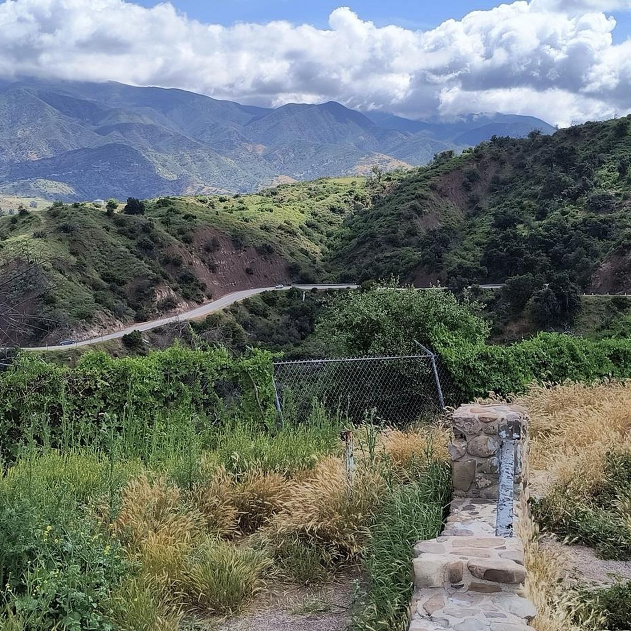
Shelf Road goes along a stream, with views of the upper valley, finishing at North Signal Street. If you want to go a little further, you will reach Pratt Trailhead.
0
0
Ventura River gives its name to the surrounding Ventura River Preserve, at the heart of the protected area. Many trails in the area cross the river at one point or another, though the crossing shouldn’t be too deep.
0
0
One of many small waterfalls that descend from an unnamed stream in Los Padres National Forest. Here is a great place to take a break and chill while listening to the water flowing.
0
0
Following Rice Creek there's Rice Canyon Trail, a gradual hike up, with beautiful views of the Ojai Valley, Old Man Mountain, Monte Arido, and Topatopa Mountains to the east, passing through an oak forest along the way.
0
0
Shelf Road Trail is an easy trail, between avocado and orange trees, that connects Gridley Road and North Signal Street.
0
0
Fuelbreak Road Trail is a rolling hike with many inclines and declines. Hiking this trail, there are views of the valley and some vineyards all around. There are a few small streams to cross along the way.
0
0
Frequently Asked Questions
Are hiking trails in Meiners Oaks suitable for beginners or families with children?
Yes, there are several easy, family-friendly options. The Ojai Meadows Preserve offers flat, leisurely trails perfect for birdwatching and a relaxed walk. For a slightly more adventurous but still manageable outing, the Pratt, Foothill, and Fox Canyon Trails loop in the Valley View Preserve is a great choice, offering rewarding views without being overly strenuous.
Can I bring my dog on the hiking trails around Meiners Oaks?
Many trails in the area are dog-friendly, but policies can vary between preserves. Dogs are generally welcome on leash in the Ventura River Preserve and the Los Padres National Forest. Always check the specific regulations for the trailhead you plan to visit and be sure to bring enough water for your pet, especially on warm days.
Where can I find trailheads with parking near Meiners Oaks?
Several well-established trailheads provide parking. For the Ventura River Preserve, you can use the Ventura River Preserve - Oso Trailhead on Meyer Road or the Riverview Trailhead on South Rice Road. For the Valley View Preserve, the Fox Canyon Trailhead is a popular starting point, accessible near the end of North Signal Street.
Are there any hikes with waterfalls in the Meiners Oaks area?
Yes, for a hike featuring a waterfall, you'll want to head into the Los Padres National Forest. The trail to Rose Valley Falls is a well-known and relatively family-friendly option that leads to a beautiful waterfall. The flow can be seasonal, so it's most impressive after recent rainfall.
What kind of wildlife might I see while hiking?
The region's diverse habitats support a variety of wildlife. It's common to see birds like great horned owls and hawks, as well as deer and coyotes. The area is also home to more elusive animals like bobcats, mountain lions, and black bears. Always be aware of your surroundings, do not approach wildlife, and know the proper safety protocols for bear encounters.
What should I pack for a day hike in the Ojai Valley?
It's essential to pack plenty of water, as many trails are exposed and can get very hot. Sun protection, including a hat, sunglasses, and sunscreen, is crucial. Wear sturdy hiking shoes with good grip. Also, bring snacks, a map of the area (or have it downloaded on your phone), and a small first-aid kit. Depending on the season, you might also want insect repellent.
Are there challenging hikes available for experienced hikers?
Absolutely. The Los Padres National Forest offers numerous strenuous hikes. Trails like the Gridley Trail or the trek up to Nordhoff Peak provide significant elevation gain and distance, rewarding seasoned hikers with incredible 360-degree views of the Ojai Valley, the Pacific Ocean, and the surrounding Topatopa Mountains.
When is the best time of year to see wildflowers?
Spring is the most spectacular time for wildflowers in the Meiners Oaks area. After the winter rains, typically from March to May, the meadows and hillsides in preserves like the Ventura River Preserve and Valley View Preserve burst into color with blooms like bush poppies and California blackberries.
Are there any circular or loop trails available?
Yes, there are many excellent loop trails. The Fuel Break Road and Shelf Road loop is a moderate circular route in the Valley View Preserve that combines a wide dirt road with other trails for varied scenery. The Ventura River Preserve also features numerous interconnected paths that allow you to create loops of different lengths.
Can I go swimming while hiking in the Ventura River Preserve?
Yes, there are designated swimming spots along the Ventura River. These can be refreshing on a hot day, but the water level is highly dependent on the season and recent rainfall. The river can be dry in certain sections, especially during late summer and fall. Always exercise caution and check conditions before entering the water.
What do other hikers say about the trails in Meiners Oaks?
The trails around Meiners Oaks are highly rated by the komoot community, with an average score of 4.9 stars. Hikers often praise the stunning panoramic views of the Ojai Valley, the well-maintained trail networks within the preserves, and the beautiful contrast between the lush river habitats and the chaparral-covered hills.
How difficult are the trails in this region?
The difficulty varies widely, catering to all levels. You'll find easy, flat trails in the Ojai Meadows Preserve, moderate loops with some climbing in the Ventura and Valley View Preserves, and difficult, strenuous climbs into the Los Padres National Forest. For a longer, more challenging route, consider the Kennedy Ridge Trail, which offers a significant workout with rewarding views.
Most popular attractions around Meiners Oaks

Get inspired with the komoot mobile app


Explore more
Browse the best Hikes in other regions.
