The best walks and hikes around Meadow Vista
5.0
(11)
463
hikers
28
hikes
Hikes around Meadow Vista explore the foothills of the Sierra Nevada, an area defined by rolling hills, dense woodlands, and scenic river canyons. The region's trail network is concentrated within the nearby Auburn State Recreation Area, offering routes that follow the North Fork of the American River. These paths provide a mix of riverside scenery and climbs into the surrounding forested hills.
Best hiking trails around Meadow Vista
- The most popular hiking route is Foresthill Divide Loop — Auburn State…
Last updated: October 11, 2026
5.0
(1)
38
hikers
7.70km
02:30
330m
300m
Embark on the Training Hill, Olmstead, and Wendell Robie Loop for a moderate hiking experience that packs a punch. This route spans 4.8 miles (7.7 km) and challenges you with…
5
hikers
13.2km
03:57
420m
380m
Hike the 8.2-mile Quarry Trail and Wendell T Robie Trail Loop for diverse scenery, from riverside paths to canyon views.

6
hikers
3.18km
00:56
140m
20m
Hike the easy 2.0 miles (3.2 km) Clementine Trail in Auburn State Recreation Area, passing under the colossal Foresthill Bridge.
5.0
(1)
4
hikers
28.4km
08:27
930m
670m
Hike the challenging 17.6-mile Training Hill Loop via Rim Trail and Olmstead Loop for strenuous climbs and scenic views.
3
hikers
6.66km
02:39
560m
390m
Hike the moderate 4.1-mile Confluence to Foresthill Bridge trail for river views and a unique perspective of California's highest bridge.
Get access to more routes and recommendations from other explorers.
Already have an account?
Our route recommendations are based on thousands of hikes, rides, and runs completed by other people on komoot.
Start today with a free account
Your next adventure awaits.
Tips from the Community

In 2016, Jim Walmsley was on pace to set a new Western States 100 course record. His first time running the race, he had dropped his pacer by this point and was running on his own. He missed the turn up the trail and continued down the Quarry Trail until he reached Hwy 49 and realized his mistake. He went on to finish the race in 20th place and learn that crucial turn to be able to set the course record (14:09:28) and win it three times. This corner is now known as Walmsley's Turn. This photo is from a spot shortly before the turn.
0
0

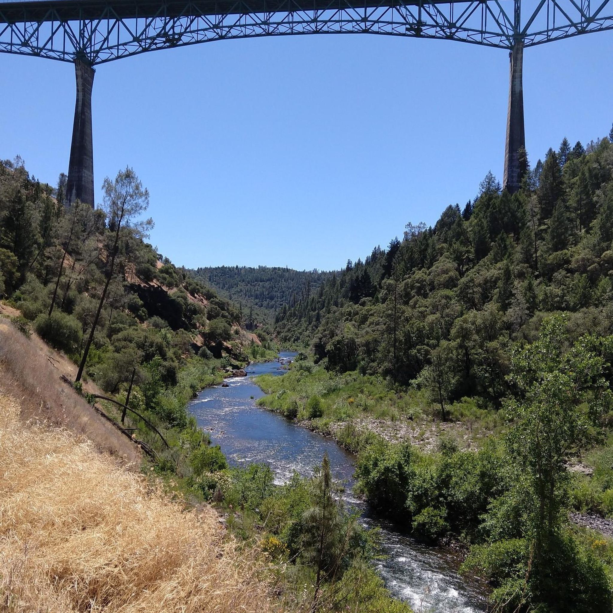
The Foresthill Bridge, spanning 2,428 feet over the North Fork American River, holds the title of the tallest bridge in California. Does it look familiar? Movie buffs might recognize it from Xander Cage's parachute jump in "XXX" and John Travolta's 1996 blockbuster "Phenomenon."
0
0
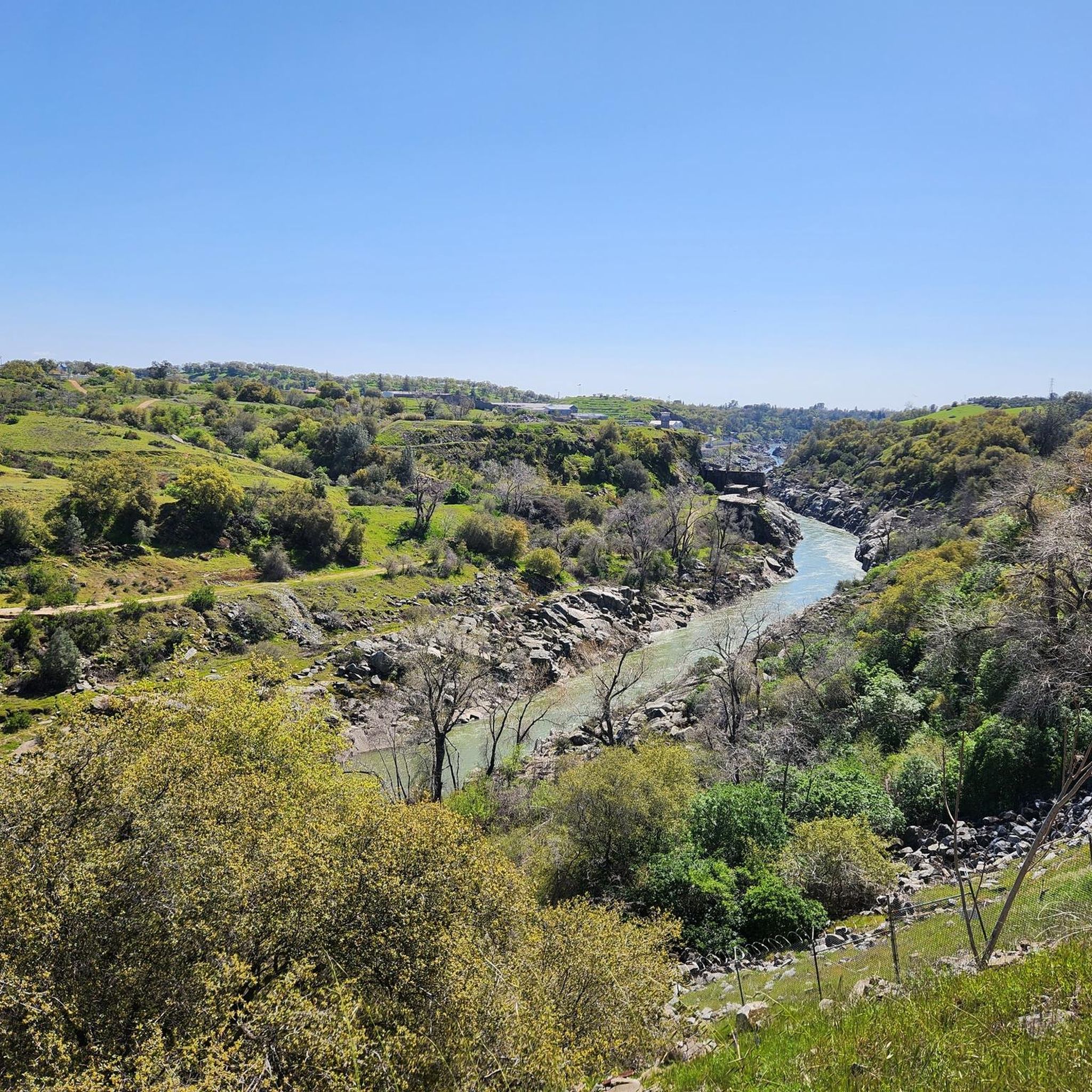
Middle Fork of the American River is a popular spot for rafting, with many trails around it. Be careful swimming in some spots as the current is strong.
0
0
The Foresthill Bridge, spanning 2,428 feet over the North Fork American River, holds the title of the tallest bridge in California. Does it look familiar? Movie buffs might recognize it from Xander Cage's parachute jump in "XXX" and John Travolta's 1996 blockbuster "Phenomenon."
0
0

Make a break and enjoy the impressive view on Foresthill Bridge, California's tallest bridge.
1
0

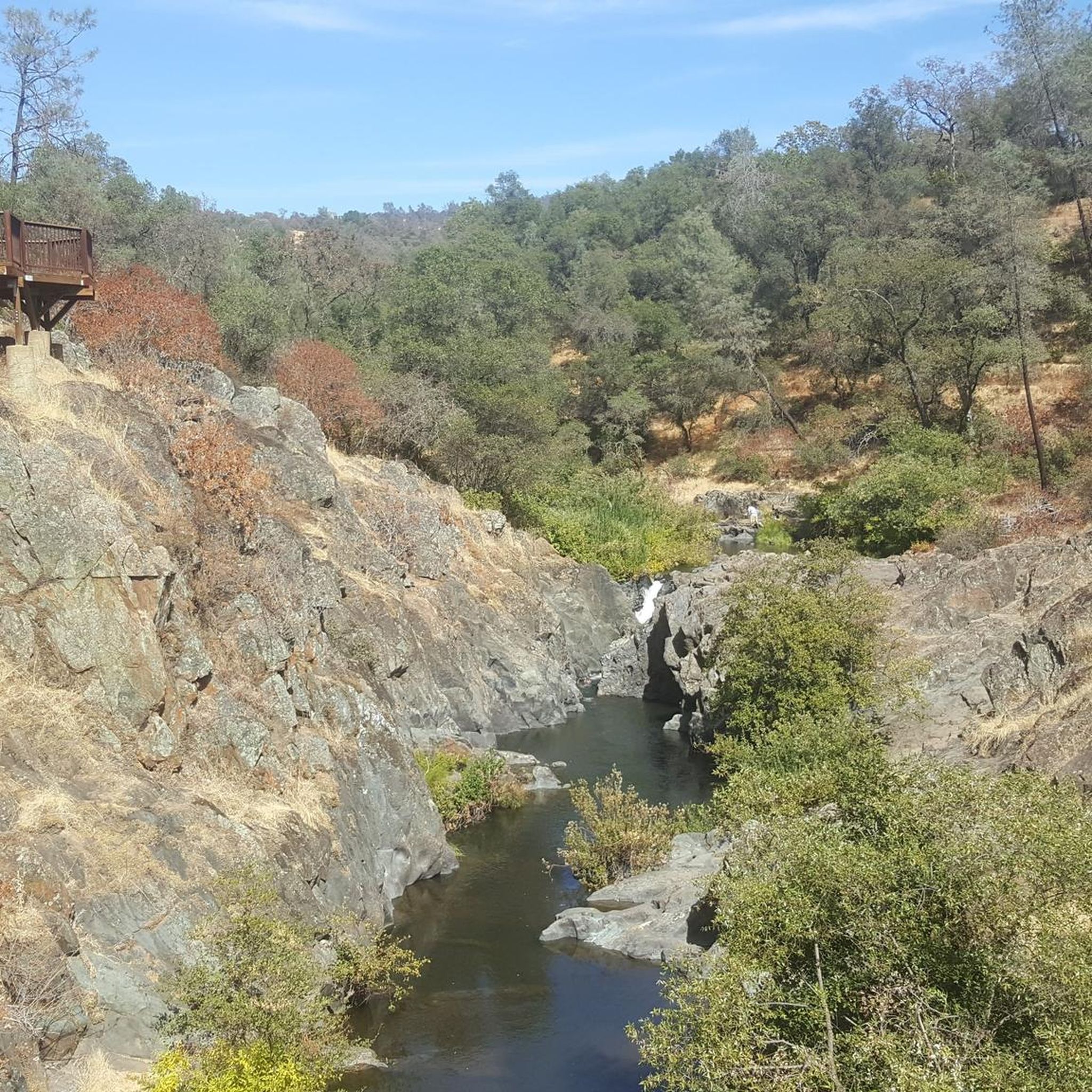
Some swimming holes near the bridge. The flat trail near the bridge is short lived. Expect to start heading uphill or downhill along the route. Very little flat trail.
0
0
Frequently Asked Questions
Are there any easy, family-friendly hikes in the Meadow Vista area?
Yes, the region offers several easier hikes suitable for families. A great option is the Stagecoach Trail loop, a relatively short walk through the Auburn State Recreation Area. For a different experience, Hidden Falls Regional Park is a popular choice with well-maintained trails that are great for all ages.
Can I bring my dog on the hiking trails near Meadow Vista?
Many trails in the area are dog-friendly, but rules can vary, so it's always best to check signage at the trailhead. Dogs are generally welcome on leash in the Auburn State Recreation Area. The Codfish Creek Falls Discovery Trail is another spot where hikers often bring their dogs, but be mindful of narrow paths.
Which hikes near Meadow Vista lead to a waterfall?
For a rewarding waterfall hike, the Codfish Falls Trail is a great choice, leading to the scenic Codfish Falls on the American River. The falls are especially impressive during the spring. Nearby, Hidden Falls Regional Park also features waterfalls along its trail network.
Are there any challenging hikes for more experienced hikers?
Absolutely. For a more strenuous workout, consider the Training Hill & Quarry Trail loop. This route involves significant elevation gain, offering a good challenge and rewarding views within the Auburn State Recreation Area.
Where can I find hikes with river access for swimming?
Several trails provide access to the American River. The Clementine Trail runs alongside the North Fork of the American River and offers opportunities for a riverside rest or a swim. Another popular spot is Cronan Ranch Regional Trails Park, which provides access to beautiful sections of the river.
What are the best shaded hikes for a hot day?
Many trails around Meadow Vista wind through forests of oak and pine, providing good shade. The Foresthill Divide Loop is a long walk that offers ample time under the tree canopy. The Sugar Pine Mountain Trail is also known for its pleasant woodland sections.
Are there any circular or loop trails available?
Yes, there are several excellent loop trails so you don't have to retrace your steps. The Clementine & Confluence Trail loop is a moderately difficult option that combines riverside paths with climbs into the hills for a varied experience.
What do other hikers say about the trails around Meadow Vista?
The area is highly rated by the komoot community. Hikers often praise the beautiful scenery, particularly the combination of dense woodlands and views of the American River canyon. The well-maintained trails within the Auburn State Recreation Area are also frequently mentioned.
Are there trails suitable for horseback riding?
Yes, the region is very popular for equestrian activities. Many multi-use trails, such as those in the Auburn State Recreation Area and Hidden Falls Regional Park, are open to horseback riders. The Meadow Vista Arena serves as a dedicated staging area for equestrian trail users. For more information on the arena, you can visit the Placer County website.
What is the Sugar Pine Mountain Trail like?
The Sugar Pine Mountain Trail is a multi-use loop that is considered moderately challenging due to some steep hills and switchbacks. It's a year-round trail that winds through pleasant woodlands and offers beautiful views along the way.
How many hiking trails are in the Meadow Vista area?
There are over a dozen designated hiking routes in and around Meadow Vista featured on komoot. These range from easy riverside walks to more demanding moderate loops in the surrounding hills, primarily within the Auburn State Recreation Area.
Most popular attractions around Meadow Vista

Get inspired with the komoot mobile app


Explore more
Browse the best Hikes in other regions.
