The 12 Most Amazing Peaks around Marin City
Best mountain peaks around Marin City are found within Marin County, an area known for its mountainous landscapes and extensive trail networks. The region features numerous elevated areas that offer panoramic views and diverse ecosystems. Marin City is nestled within this environment, providing access to significant peaks and ridges. These natural features contribute to the region's appeal for outdoor activities.
Best mountain peaks around Marin City
- The most popular mountain peaks is Cardiac Hill (Dipsea Trail, Mount Tamalpais State Park)…
Last updated: July 8, 2026
Mount Tamalpais — East Peak
Highlight • Summit
Tip by

Horse Hill Bike Path
Highlight (Segment) • Cycleway
Tip by
Sign up now to discover places like this
Get recommendations on the best single tracks, peaks, & plenty of other exciting outdoor places.
Sign up for free
Cardiac Hill (Dipsea Trail, Mount Tamalpais State Park)
Highlight • Summit
Tip by
Mount Caroline Livermore summit
Highlight • Summit
Tip by
Bare Knoll
Highlight • Summit
Tip by

Sign up for free to discover even more peaks around Marin City.
Sign up for free
Already have an account?
Start today with a free account
Your next adventure awaits.
Login or Signup

Tips from the Community

One of the best views in the entire Bay Area. No question.
0
0

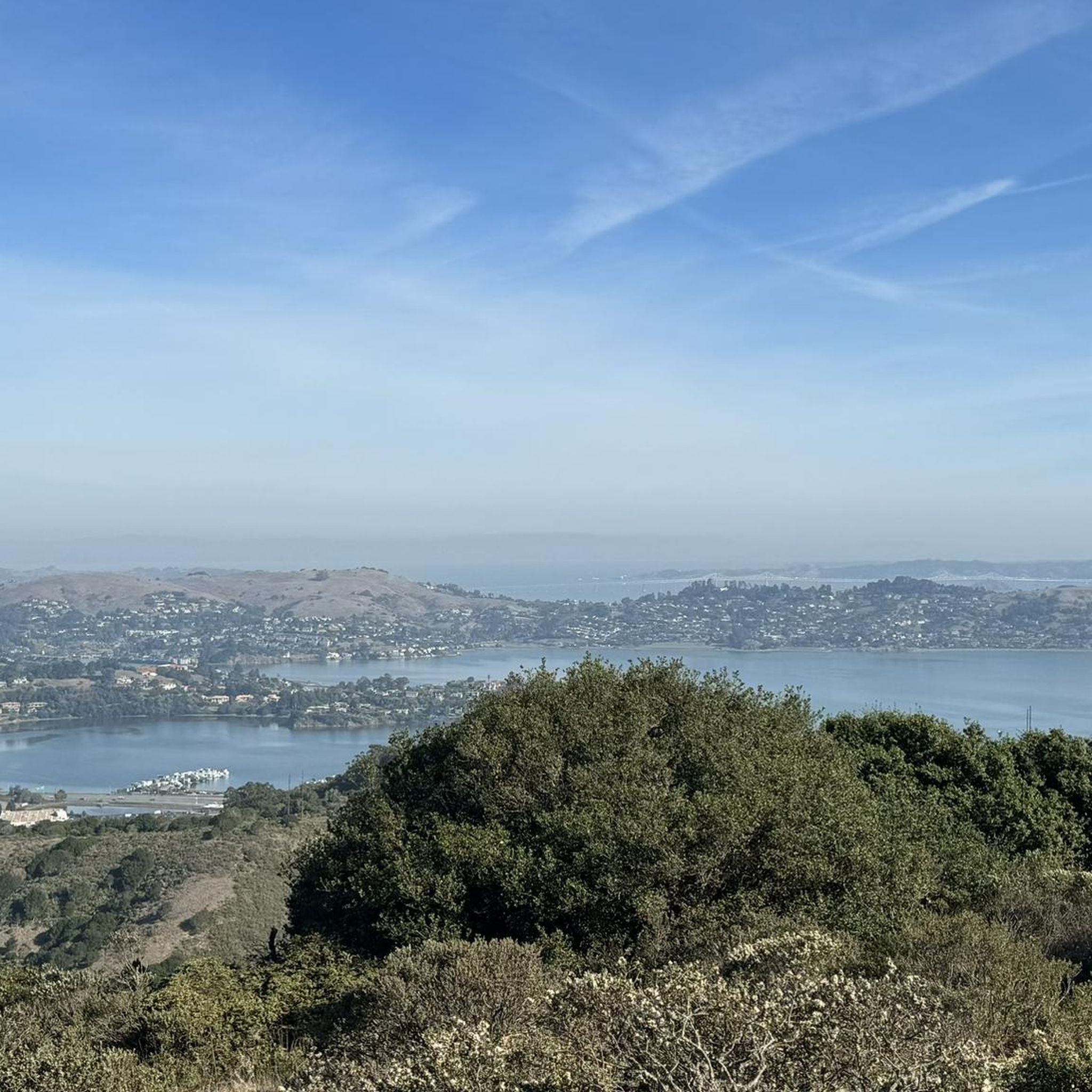
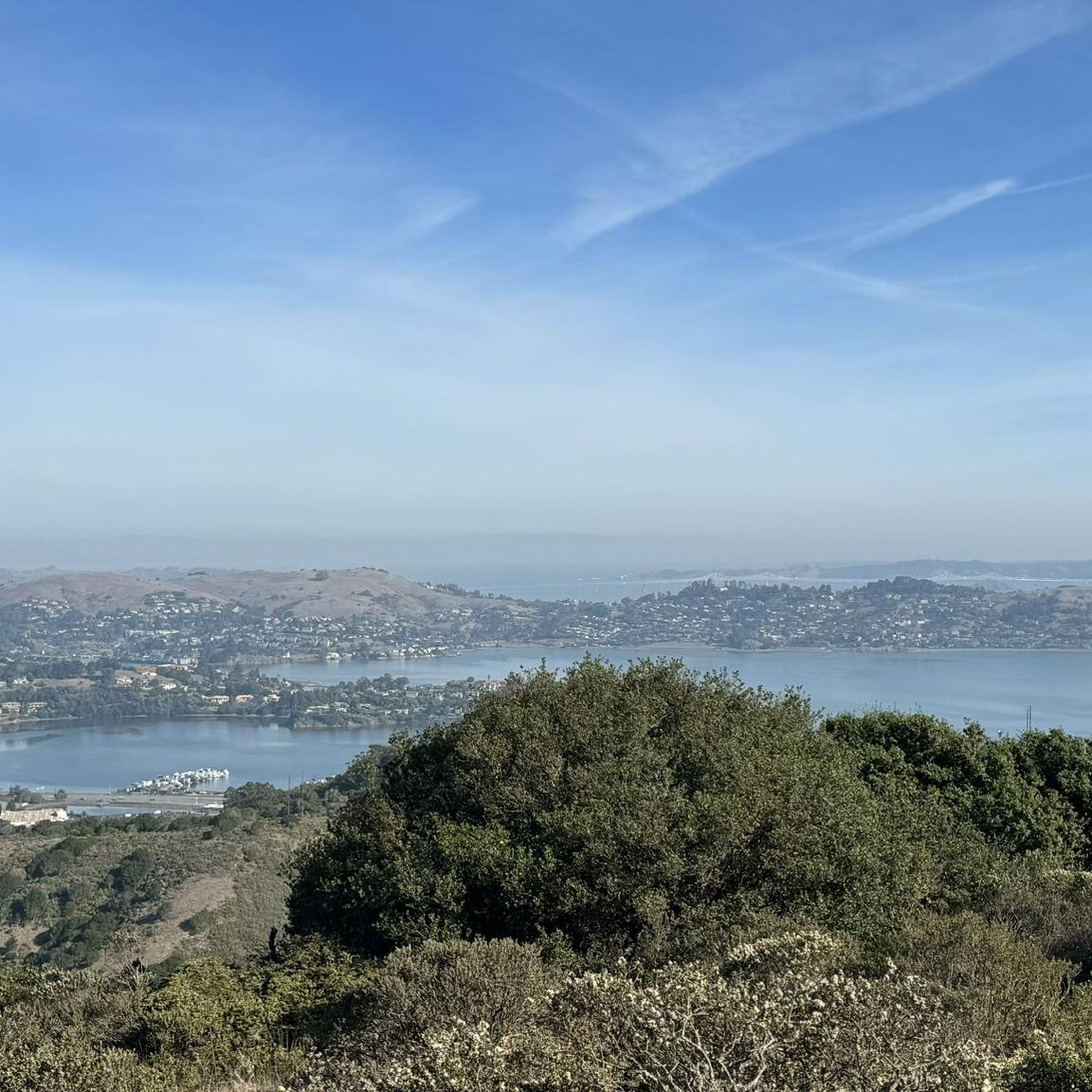
Mount Tam East Peak offers some of the most majestic views north of the bay. From this vantage point, you can see all of Marin, along with Point Reyes to the north and Oakland and San Francisco to the south. The stunning panoramic vistas make the journey well worth the effort. There are restrooms and picnic tables, ideal for a snack or lunch while you capture some incredible photos.
1
0

Great lookout with a usually closed summit hut at 2571 feet (784 m) elevation. Outstanding views of the Bay, Marin County, San Francisco, and the Pacific Ocean.
0
0

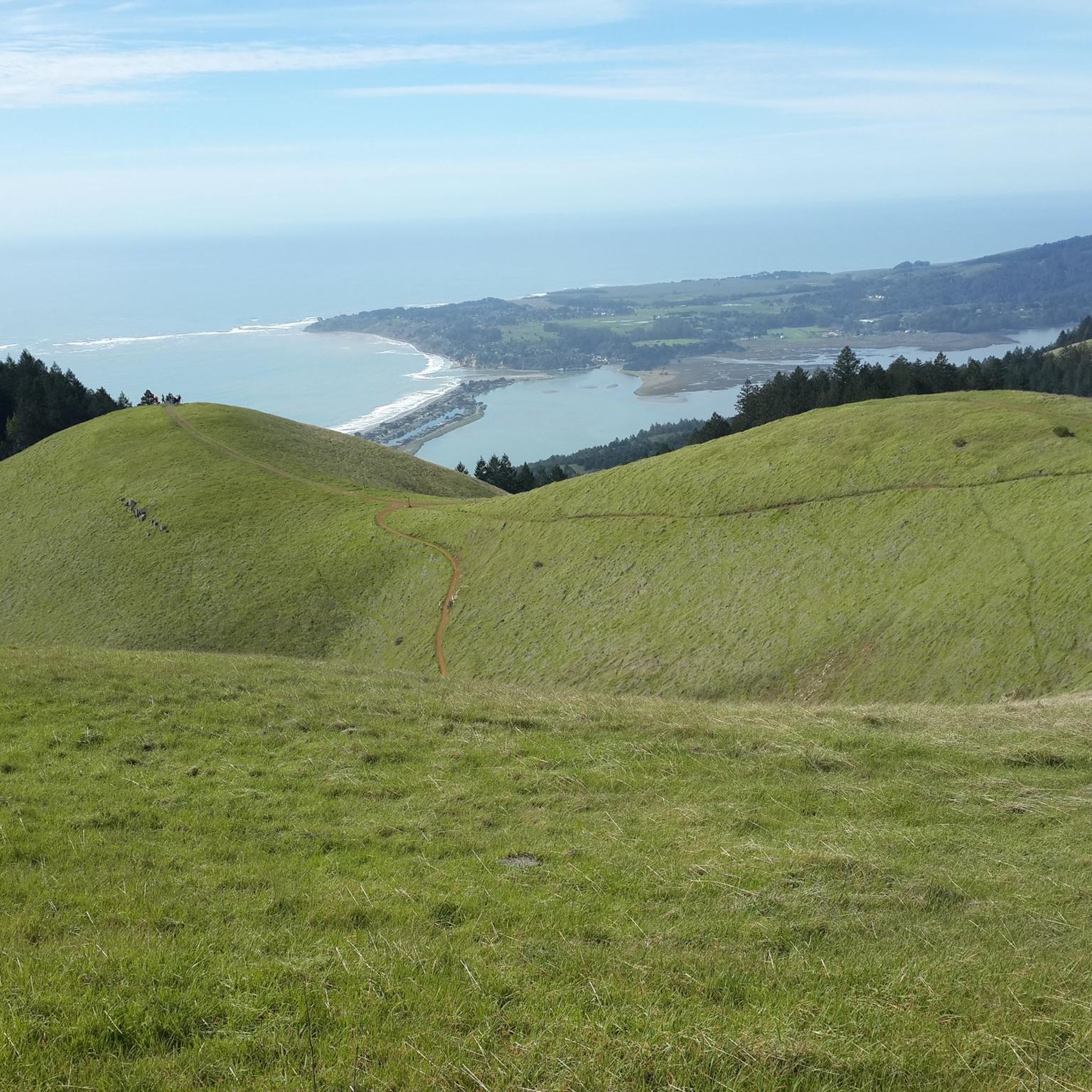
Bare Knoll is a relatively small peak that allows you to see views stretching from Stinson Beach into the Gulf of the Farallones.
1
0

There are, indeed, horses on this hill. Connector path between Mill Valley and Corte Madera, easier than Camino alto. The alto tunnel is still closed, learn more here: https://openaltotunnel.org/
0
0

This trail runs along part of the Dipsea Trail and heads towards Cardiac Hill. The first section is characterised by a wooden stairway, then the path goes into a lush forest.
0
0
Highest peak in Marin County, north of the Golden Gate with fantastic panoramic views in all directions, from the Bay to the Pacific, to the skyline of San Francisco as well as the small towns, bays and coastline along the North Bay.
1
0
Sweeping bay and San Francisco skyline views reward the hiker up the trail to the 791 feet (241 m) elevation summit of the island. The peak is named for American conservationist Caroline Sealy Livermore (1883-1968), whose work created several protected areas in Marin county, and led to the protection of Angel Island and its declaration as a state park.
3
0
Frequently Asked Questions
What are the most notable mountain peaks and elevated areas around Marin City?
Marin City is surrounded by several prominent peaks and elevated areas within Marin County. Key locations include Mount Tamalpais, the highest peak in the Marin Hills, offering panoramic views; Big Rock Ridge, known for its challenging trails and 360-degree Bay Area vistas; and the Marin Headlands, a dramatic coastal area with iconic views of the Golden Gate Bridge and San Francisco skyline. Additionally, Mount Caroline Livermore summit on Angel Island provides unique perspectives of the bay.
What kind of views can I expect from the mountain peaks in Marin County?
The mountain peaks in Marin County offer a wide array of breathtaking views. From Mount Tamalpais, you can see from the Farallon Islands to the Sierra Nevada, encompassing the San Francisco Bay and Golden Gate Bridge. Big Rock Ridge provides spectacular 360-degree panoramas of the entire Bay Area, including Mount Diablo and even Skywalker Ranch. The Marin Headlands are famous for their dramatic coastal views of the Golden Gate Bridge, San Francisco skyline, and the Pacific Ocean, especially from spots like Hawk Hill.
Are there family-friendly trails or accessible options on these mountain peaks?
Yes, there are options for families and those seeking accessible paths. On Mount Tamalpais, the Verna Dunshee Trail offers a paved and accessible loop around the East Peak, complete with informative panels and stunning vistas. While many trails in the region can be challenging, areas like the Marin Headlands also feature trails for various skill levels, including easier sections suitable for families. For example, the Tennessee Valley Trail in the Headlands is generally considered easy.
What outdoor activities can I do near the mountain peaks around Marin City?
The region around Marin City offers a diverse range of outdoor activities. You can enjoy extensive hiking, mountain biking, and trail running on peaks like Mount Tamalpais and Big Rock Ridge. The Marin Headlands provide miles of hiking and cycling trails, including the Coastal Trail. For specific routes, explore options like the hiking trails around Marin City, gravel biking routes, or road cycling routes.
What historical or cultural significance do these mountain peaks hold?
Several peaks in the area have historical significance. Mount Tamalpais is home to the historic Dipsea Race, the oldest trail race in the country. Mount Caroline Livermore summit on Angel Island was partially leveled for a Nike Missile site in the 1950s and the island itself served as a military base and immigration station. The Marin Headlands feature historical military forts, batteries, and the Point Bonita Lighthouse, reflecting its strategic importance for coastal defense.
Are there any unique natural features or ecosystems to observe?
Yes, the region boasts diverse ecosystems. Mount Tamalpais features everything from dense redwood groves and lush ferns to open grasslands and rocky outcrops. Big Rock Ridge traverses rolling grasslands, oak-studded woods, and chaparral, offering opportunities for wildlife viewing and vibrant spring wildflowers. Bolinas Ridge passes through pastureland, conifer forests, and open chaparral, with views of the San Andreas Rift Zone. The Marin Headlands are characterized by dramatic coastal bluffs and rugged cliffs, with opportunities to spot raptors.
What is the best time to visit the mountain peaks in Marin County?
Marin County's mountain peaks can be enjoyed year-round, but the best time often depends on your activity. Spring (March-May) is ideal for wildflowers and generally pleasant temperatures. Fall (September-November) offers clear skies and comfortable hiking weather. Summer can bring coastal fog, especially to the Marin Headlands, which can add a dramatic quality but also obscure views. Winters are mild but can be wet, making some trails muddy.
Can I bring my dog on the trails around these mountain peaks?
Many trails in Marin County are dog-friendly, but regulations vary by specific park or preserve. It's always best to check the rules for the particular trail or area you plan to visit. For instance, while some areas of Mount Tamalpais State Park allow dogs on leash, others may have restrictions. The Golden Gate National Recreation Area, which includes the Marin Headlands, has specific rules regarding dogs on trails and beaches.
Where can I find challenging hiking experiences near Marin City?
For challenging hikes, consider Big Rock Ridge, which offers significant elevation gain over its 5-mile span, making it a rewarding experience for experienced hikers. The Cardiac Hill (Dipsea Trail, Mount Tamalpais State Park), while having a more gradual section, is part of the historic Dipsea Trail known for its demanding terrain. Many trails on Mount Tamalpais also offer strenuous ascents and long distances.
What makes Mount Tamalpais a significant destination?
Mount Tamalpais is often considered the symbol of Marin County due to its prominence and diverse offerings. As the highest peak in the Marin Hills, it provides unparalleled 360-degree views. It's largely protected within Mount Tamalpais State Park, Muir Woods National Monument, and the Marin Municipal Water District watershed, offering nearly 40 miles of continuous public open space. Visitors can enjoy extensive hiking, cycling, and equestrian trails, and it's home to the historic Dipsea Race.
What is the significance of Mount Caroline Livermore on Angel Island?
Mount Caroline Livermore summit is the highest point on Angel Island, offering unique perspectives of the San Francisco Bay. Reaching 791 feet (241 meters), it provides unparalleled 360-degree panoramic views that include the Golden Gate Bridge, the San Francisco skyline, Alcatraz Island, the Marin Headlands, and Mount Tamalpais. The island itself is rich in history, having served as a military base and immigration station, making it a destination that combines natural beauty with historical intrigue.
Most popular attractions around Marin City

Get inspired with the komoot mobile app


Explore more
See even more amazing summits around Marin City with these guides:
