The best road cycling routes around Loma Mar
5.0
(18)
808
riders
15
rides
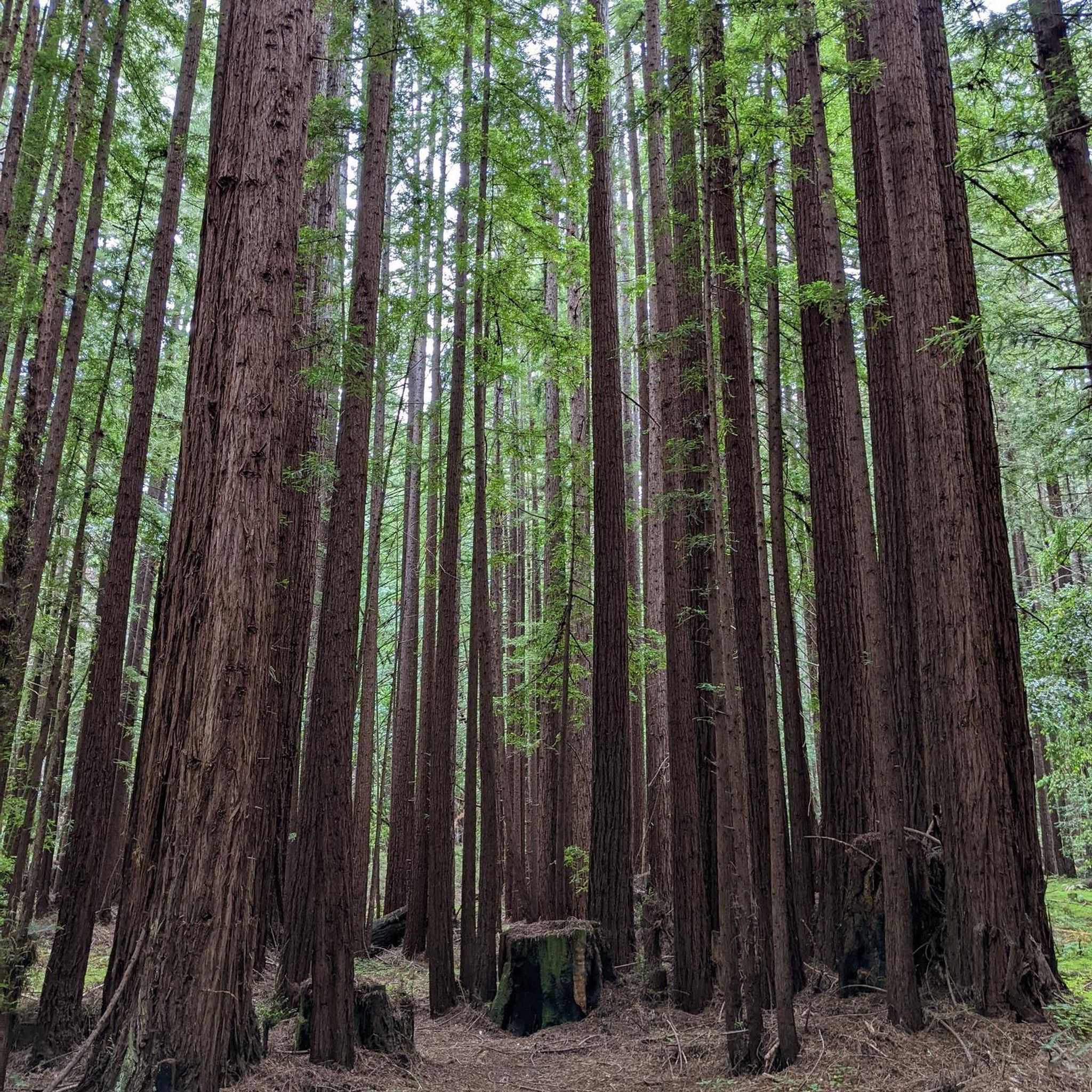
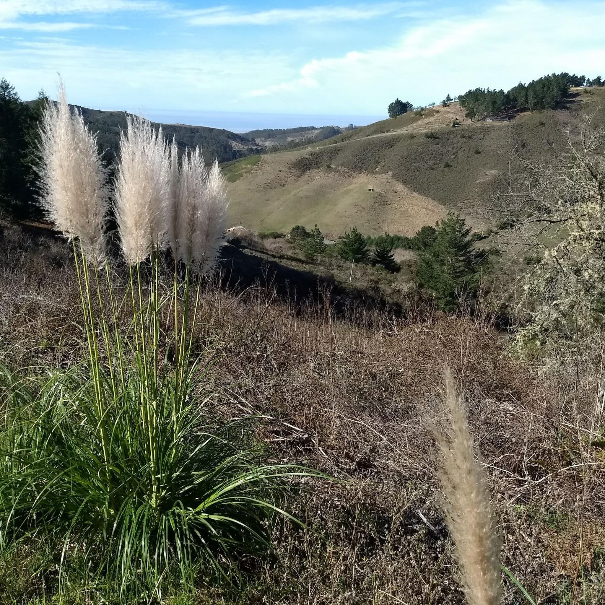
Road cycling routes around Loma Mar are characterized by winding roads through redwood forests and rolling hills. The region features a mix of coastal proximity and inland terrain, offering varied elevation profiles. Road cyclists can expect routes that navigate through rural landscapes, often following creek beds and ascending into forested areas. The area provides a diverse environment for road cycling, from moderate climbs to more challenging ascents.
Best road cycling routes around Loma Mar
- The most popular road cycling route…
Last updated: September 29, 2026
5.0
(5)
80
riders
44.6km
02:01
490m
490m
Moderate road ride. Good fitness required. Mostly well-paved surfaces and easy to ride.
5.0
(3)
67
riders
56.2km
02:34
650m
650m
Moderate road ride. Good fitness required. Mostly well-paved surfaces and easy to ride.

5.0
(1)
41
riders
70.1km
03:18
840m
840m
Moderate road ride. Good fitness required. Mostly well-paved surfaces and easy to ride.
5.0
(1)
29
riders
110km
05:52
2,010m
2,010m
Hard road ride. Very good fitness required. Mostly well-paved surfaces and easy to ride.
41
riders
75.0km
03:55
1,270m
1,270m
Hard road ride. Very good fitness required. Mostly well-paved surfaces and easy to ride.
Get access to more routes and recommendations from other explorers.
Already have an account?
Our route recommendations are based on thousands of hikes, rides, and runs completed by other people on komoot.

Tips from the Community

The Bike Hut is a small hut with fresh water, organic teas and coffee and a variety of snacks for cyclist passing by. It is self-serve and open 24/7. There is also a small picnic area, a bathroom and a message board for posting road conditions or notes to fellow cyclists.
0
0

Didn’t OLR used to turn into Dirt before reaching Skyline? Is it all pavement now?? Scott
0
0

Page Mill Road is a classic route for cyclists looking for a challenge, with its steep climbs, sharp switchbacks, and stunning views of Silicon Valley. Starting near Palo Alto and climbing into the Santa Cruz Mountains, the ride tests your legs but rewards you with breathtaking scenery. Be prepared for varying gradients, especially in the lower sections, and pack plenty of water—the climb can be intense, especially on warmer days.
0
0

A lovely little cut through from the quiet MP part of Alma to the busy PA side (or the turn across the tracks and El Camino to Sand Hill). If you're not in a hurry, pause on the bridge to enjoy the view of the creek which might be dry in the summer or a raging torrent in the winter. The rail bridge to the west is the original Southern Pacific bridge from a century ago, still in use by Caltrain. And if you look closely, you will find El Palo Alto (from which the city gets its name) in this grove of redwoods. It is not obvious in 2024 but it is signed.
0
0

The San Francisquito Creek Bridge provides a smooth ride over the San Francisquito Creek, which eventually ends in southwest San Francisco Bay. Enjoy the beauty here and stop on the bridge to peer down into the creek.
0
0

Old La Honda Road is considered one of the most challenging climbs in the Bay Area. The road winds through Redwood forests, offering stunning views of the surrounding mountains and valleys, as well as a peaceful and enjoyable ride.
1
0

Alpine Rd Downhill to La Honda: https://youtu.be/MdsNqhRt4so?si=j7I-PfTWqhQc1lxf
0
0
Old La Honda Rd downhill video: https://youtu.be/icnBpBZQ8gE?si=xYovaH-Nr8llwLEM
0
0
Frequently Asked Questions
How many road cycling routes are available in Loma Mar?
There are over 10 road cycling routes around Loma Mar, offering a variety of experiences from moderate to difficult. The region is known for its winding roads through redwood forests and rolling hills.
Are there easy road cycling routes suitable for beginners in Loma Mar?
Yes, Loma Mar offers a couple of easy road cycling routes. These routes typically feature less elevation gain and shorter distances, making them ideal for those new to road cycling or looking for a more relaxed ride.
What are the typical distances and elevations for road cycling routes in Loma Mar?
Road cycling routes in Loma Mar vary significantly. You can find moderate routes like the Pescadero Creek Road & La Honda Road Loop, which is about 27.7 miles (44.6 km) with around 486 meters of elevation gain. More challenging routes can extend to over 40 miles (64 km) with more than 1000 meters of climbing.
What are some challenging road cycling routes in Loma Mar?
For experienced road cyclists seeking a challenge, routes like the Pescadero Creek Road – Stage Road loop from La Honda, at 44.8 miles (72.1 km) with over 936 meters of elevation, offer significant ascents through redwood forests and coastal hills. Another demanding option is the Pescadero Creek Road – Stage Road loop from Pescadero, which covers 74.2 km and features over 1291 meters of climbing.
When is the best time of year for road cycling in Loma Mar?
Loma Mar's coastal proximity means milder temperatures year-round. However, the spring and fall months generally offer the most pleasant conditions for road cycling, with less fog and moderate temperatures, making it ideal for enjoying the redwood forests and rolling hills.
Are there many loop routes available for road cycling in Loma Mar?
Yes, many of the popular road cycling routes in Loma Mar are designed as loops, allowing you to start and finish in the same location. Examples include the Pescadero Creek Road & La Honda Road Loop and the La Honda Road – Stage Road loop from La Honda.
What do other road cyclists enjoy the most about road cycling in Loma Mar?
The road cycling routes in Loma Mar are highly rated by the komoot community, with an average score of 5.0 stars from over 14 reviews. Cyclists frequently praise the scenic rural roads, the immersive experience of riding through redwood forests, and the varied terrain that offers both moderate climbs and challenging ascents.
What can I see along the road cycling routes in Loma Mar?
While cycling, you'll experience the natural beauty of the region. Notable features include the scenic Pescadero Creek Road and Stage Road. You might also pass by natural attractions like Alpine Pond or enjoy views from summits such as Ocean View Summit.
Are there any long-distance road cycling options in Loma Mar?
Yes, Loma Mar offers several routes suitable for longer rides. For instance, the Stage Road – Higgins-Purisima Road loop from Pescadero is a substantial 77.6 km (48.2 miles) route, providing an excellent option for those looking for an extended road cycling adventure.
Where can I find parking for road cycling in Loma Mar?
Parking availability varies depending on your chosen starting point. Many routes begin near small towns or designated parking areas. It's advisable to check the specific route details on komoot for recommended parking locations near the trailhead or starting point of your ride.
Which road cycling routes offer the most scenic views in Loma Mar?
Many routes in Loma Mar are inherently scenic, winding through redwood forests and offering glimpses of rolling hills and coastal landscapes. Routes that incorporate Pescadero Creek Road and Stage Road are particularly known for their picturesque surroundings.
Most popular routes around Loma Mar
Most popular attractions around Loma Mar

Get inspired with the komoot mobile app


Explore more
Browse the best Road cycling routes in other regions.
