The best road cycling routes around Larkfield-Wikiup
4.7
(47)
1,507
riders
102
rides
Road cycling around Larkfield-Wikiup offers a network of routes through Sonoma County's diverse landscape. The region features rolling hills, agricultural lands, and quiet country roads, providing varied terrain for road cyclists. Routes often traverse areas with vineyards and open spaces, characteristic of Northern California. The elevation gains are generally moderate, making the area accessible for different fitness levels.
Best road cycling routes around Larkfield-Wikiup
- The most popular road cycling route is Chalk Hill loop from Sonoma County Airport, a…
Last updated: July 9, 2026
4.8
(6)
311
riders
101km
04:32
690m
690m
Moderate road ride. Good fitness required. Mostly well-paved surfaces and easy to ride.
5.0
(15)
152
riders
45.1km
01:59
240m
240m
Easy road ride. Great for any fitness level. Mostly well-paved surfaces and easy to ride.

Sign up for free
4.7
(3)
88
riders
53.5km
02:21
320m
320m
Moderate road ride. Good fitness required. Mostly well-paved surfaces and easy to ride.
19
riders
53.5km
02:25
220m
220m
Moderate road ride. Good fitness required. Mostly well-paved surfaces and easy to ride.
6
riders
133km
05:52
940m
940m
Hard road ride. Very good fitness required. Mostly well-paved surfaces and easy to ride.
Get access to more routes and recommendations from other explorers.
Sign up for free
Already have an account?
Our route recommendations are based on thousands of hikes, rides, and runs completed by other people on komoot.
Start today with a free account
Your next adventure awaits.
Login or Signup
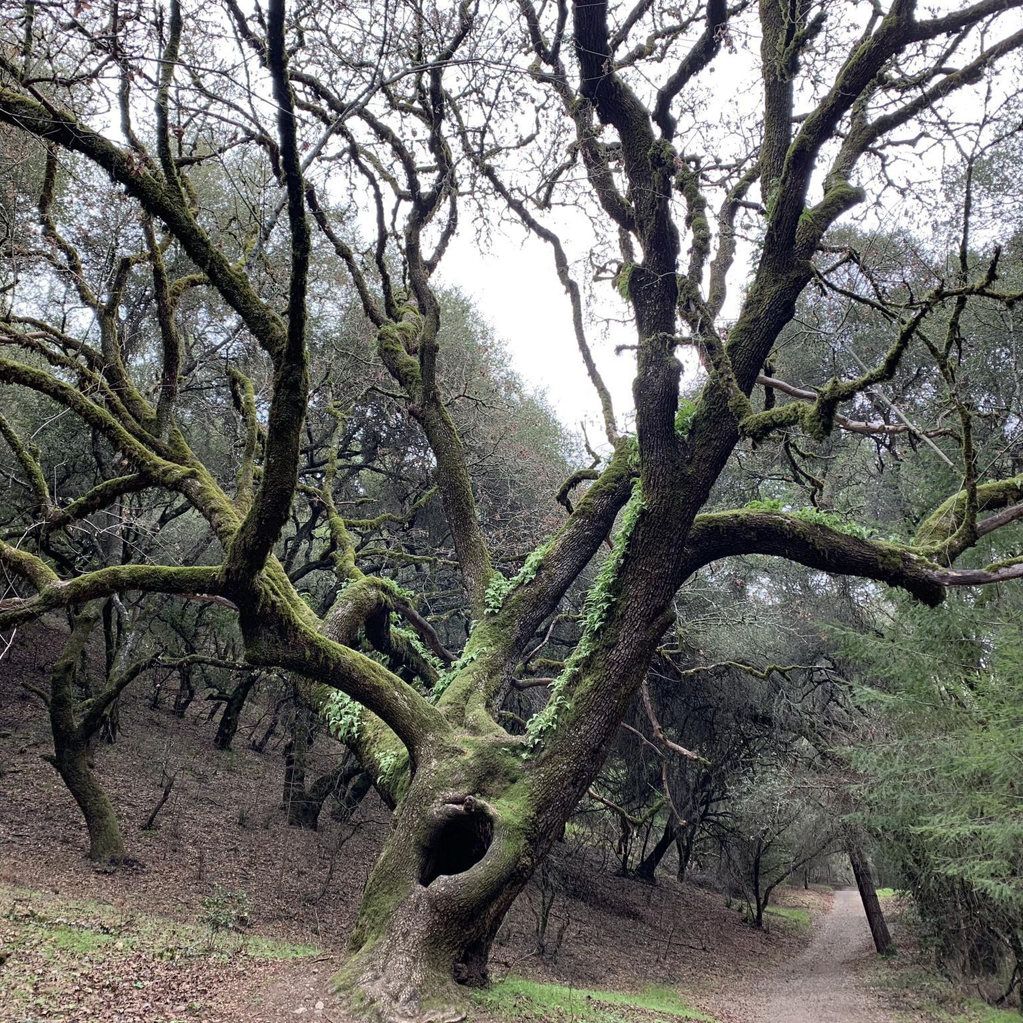
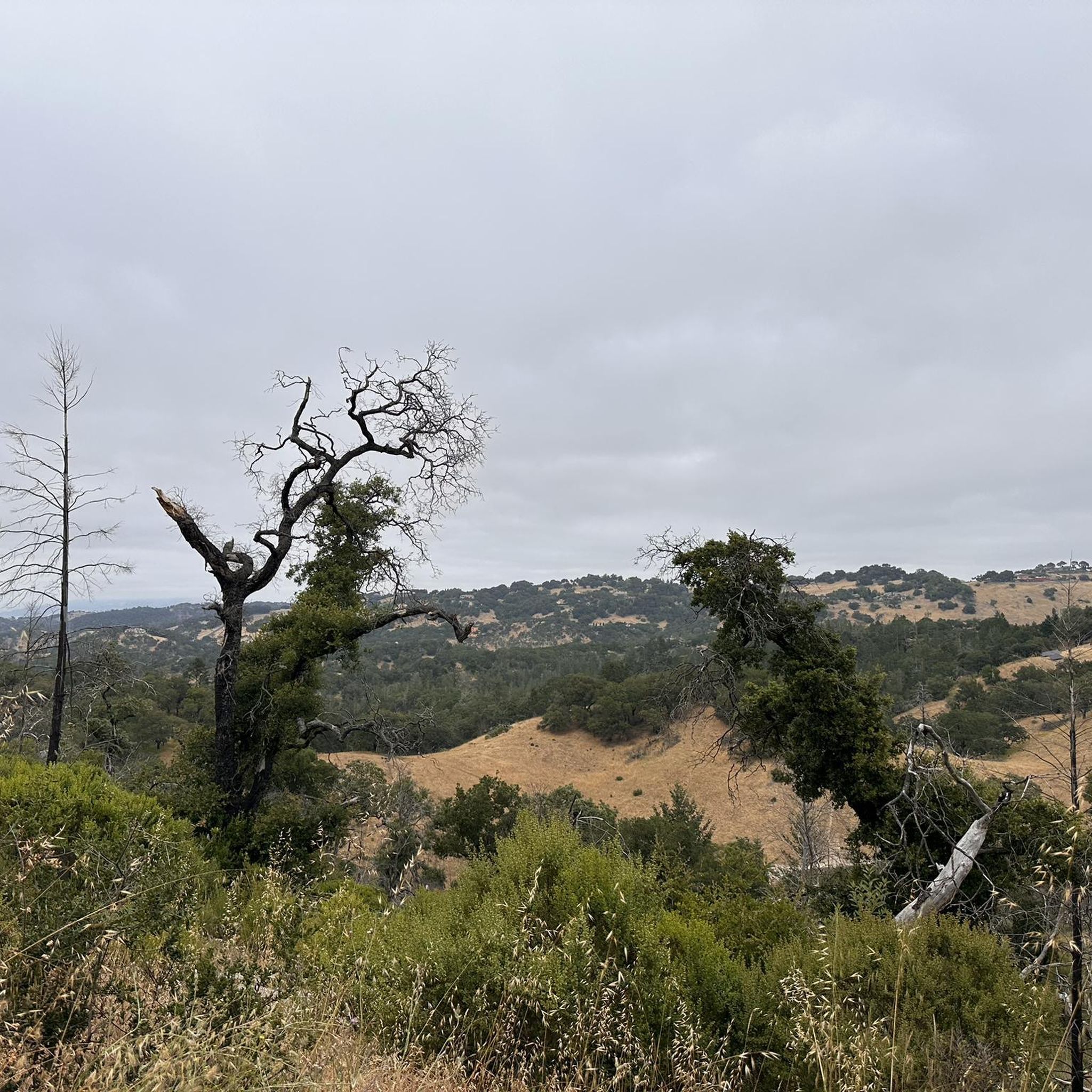
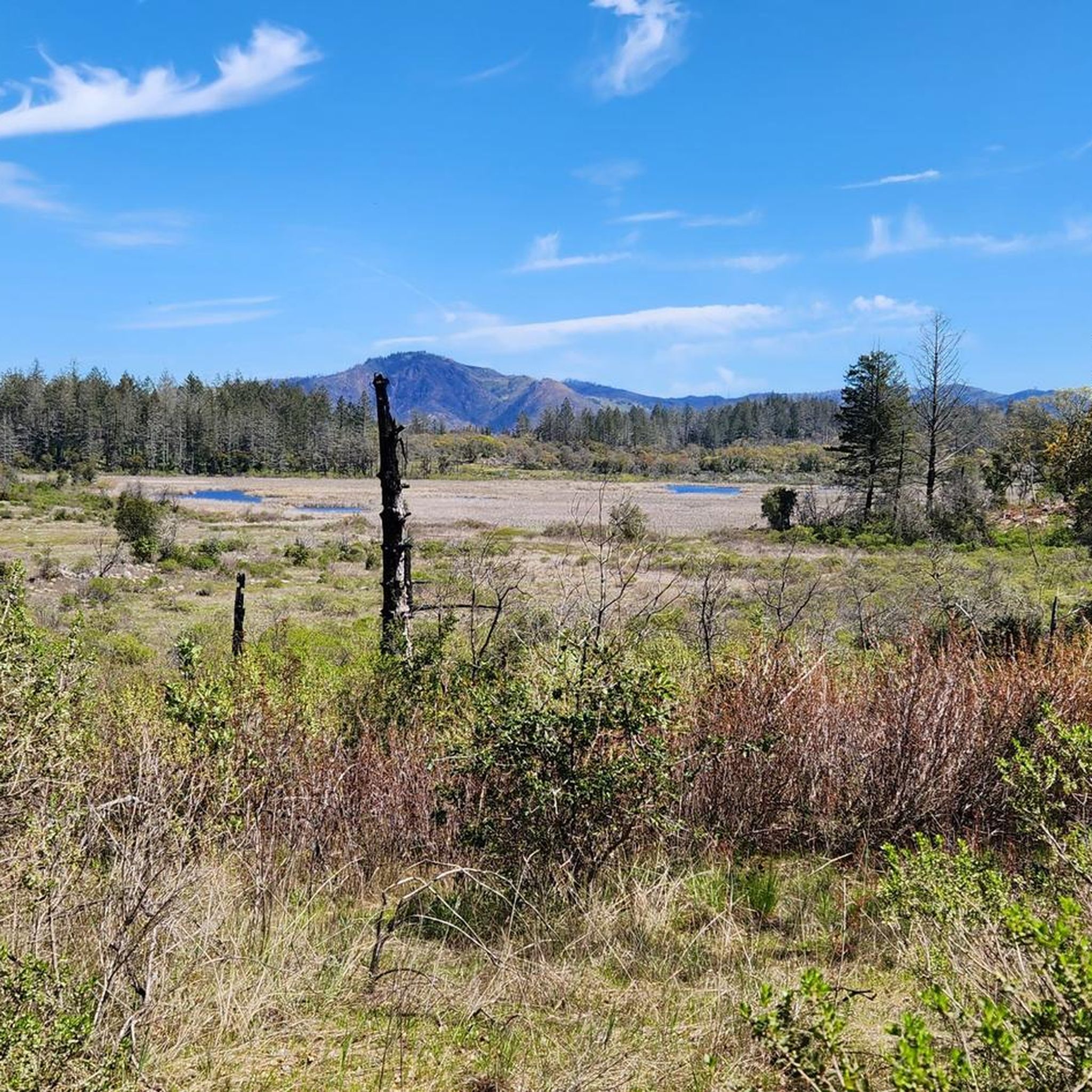
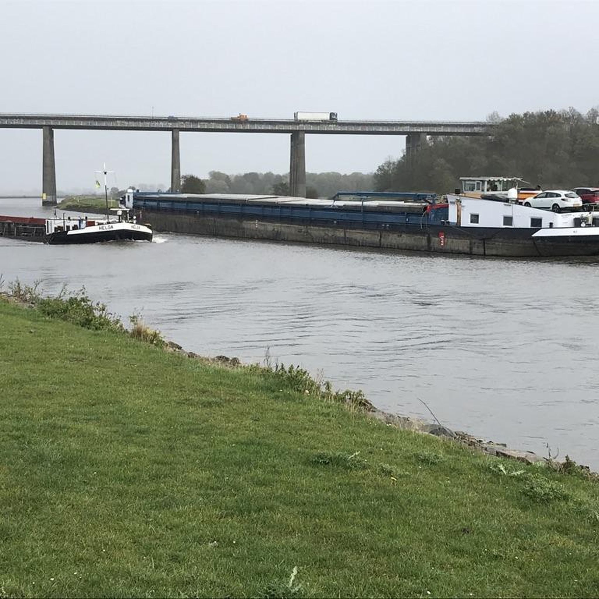
Tips from the Community

Pedestrian wooden bridge that has some steps, leading onto narrow but mostly quite residential roads into the forest.
0
0
Bohemian Highway winds along the shaded creekside. There is not much shoulder, but this segment is short, then there are again options to hop on trails up into the hills.
0
0

An incredibly beautiful road. Lots of vineyards and rolling hills. Lots of wineries to stop at for picnic lunch.
0
0

Beautiful, quiet, winding stretch of road among grape vines, forest, and along the river.
1
0

Nestled in Alexander Valley, the Jimtown Store is a must-visit landmark and café. This quirky little restaurant and shop offers a vintage atmosphere that feels like a step back in time. The back patio is perfect for a simple lunch while exploring the nearby wineries.
0
0
The West Dry Creek Road is a quiet, paved gem of a back road in wine country. This picturesque, peaceful road is a favorite cycling route among locals that winds through the stunning Dry Creek Valley, offering an ideal setting for a delightful picnic among the many vineyards in the area.
0
0

This is a popular road climb, but it's mild enough that you don't have to be a road biker to enjoy it. You'll find a few other hills along Chalk Hill Road too — a nice contrast to the generally flat riding in this area.
0
0
This is a popular climb for road riders in this area. You'll find a few other hills along Chalk Hill Road too — a nice contrast to the generally flat riding in this area.
0
0
Frequently Asked Questions
How many road cycling routes are available around Larkfield-Wikiup?
There are nearly 100 road cycling routes around Larkfield-Wikiup, offering a wide range of options for different skill levels and preferences. The region's diverse landscape provides varied terrain for cyclists.
Are there easy road cycling routes suitable for beginners in Larkfield-Wikiup?
Yes, Larkfield-Wikiup offers over 30 easy road cycling routes. For a balanced experience on well-maintained roads, consider the Roadbike loop from Sonoma County Airport, which is a moderate 28.3-mile path with manageable elevation.
Where can I find more challenging road cycling routes with significant climbs?
For those seeking more challenging rides, Larkfield-Wikiup has 17 difficult routes. The Chalk Hill loop from Sonoma County Airport, while rated moderate, is a longer 61.8-mile route with over 680 meters of elevation gain, providing a good test for endurance.
Which road cycling routes offer the most scenic views?
Many routes in Larkfield-Wikiup traverse areas with vineyards and open spaces, characteristic of Sonoma County. The Chalk Hill loop from Sonoma County Airport is particularly known for its scenic views of the surrounding countryside and rolling hills.
Are there road cycling routes that are loop-shaped?
Yes, many of the road cycling routes around Larkfield-Wikiup are designed as loops, allowing you to start and finish at the same point. Examples include the Chalk Hill – Jimtown Store loop from Sonoma County Airport and the West Dry Creek Road loop from Sonoma County Airport.
What is the best time of year for road biking in Larkfield-Wikiup?
The region generally offers good road cycling conditions for much of the year. Spring and fall provide pleasant temperatures and vibrant scenery. Summers can be warm, but early mornings are often ideal. Winters are typically mild, though occasional rain may occur.
Are there any interesting landmarks or attractions along the road cycling routes?
Yes, road cycling routes in Larkfield-Wikiup can take you past various points of interest. You might encounter sections near the Joe Rodota Trail or the Santa Rosa Creek Trail. The Chalk Hill – Jimtown Store loop passes by the historic Jimtown Store, a popular stop.
What do other road cyclists enjoy most about road cycling in Larkfield-Wikiup?
The area is highly rated by the komoot community, with an average score of 4.6 stars from over 40 reviews. Cyclists often praise the quiet country roads, the beautiful vineyard-dotted valleys, and the variety of routes suitable for different ability levels.
Are there road cycling routes with low elevation gain for a more relaxed ride?
Yes, many routes in Larkfield-Wikiup feature moderate elevation gains, making them accessible. The West Dry Creek Road loop from Sonoma County Airport, for example, is a 33.3-mile route with just over 220 meters of elevation gain, offering a relatively flat experience.
Where can I find parking for road cycling trails in Larkfield-Wikiup?
Many routes, such as the Chalk Hill loop and the Roadbike loop, start from the Sonoma County Airport area, which typically offers parking facilities suitable for accessing the routes.
Are there road cycling routes that pass by lakes or water features?
While the primary focus of road cycling in Larkfield-Wikiup is often vineyards and rolling hills, some routes may bring you close to areas with water features. For example, nearby attractions include Spring Lake Park and the Santa Rosa Swimming Lagoon, which could be incorporated into a ride or visited separately.
Can I find quiet road bike paths away from heavy traffic?
Larkfield-Wikiup is known for its quiet country roads, especially those winding through agricultural lands and vineyards. Routes like the West Dry Creek Road – Dry Creek Road loop from Sonoma County Airport are excellent choices for experiencing less traffic and enjoying the peaceful rural landscape.
Most popular attractions around Larkfield-Wikiup

Get inspired with the komoot mobile app


Explore more
Browse the best Road cycling routes in other regions.
