The best road cycling routes around Ladera
4.6
(231)
9,322
riders
164
rides
Road cycling around Ladera, California, is characterized by its naturally rolling landscape, nestled in the foothills of the Orange County Saddleback. The area features an extensive network of trails, including manufactured trails and paved paths suitable for road cycling. Riders can experience diverse terrain with both inclines and descents, offering varied challenges. The region also provides scenic views of the mountains and glimpses of the ocean from various points along the routes.
Best road cycling routes around Ladera
- The most…
Last updated: August 19, 2026
4.7
(9)
335
riders
50.1km
02:58
930m
930m
Hard road ride. Very good fitness required. Mostly well-paved surfaces and easy to ride.
145
riders
25.7km
01:08
250m
250m
Easy road ride. Great for any fitness level. Mostly well-paved surfaces and easy to ride.

Sign up for free
5.0
(1)
18
riders
15.9km
00:46
170m
170m
Easy road ride. Great for any fitness level. Mostly well-paved surfaces and easy to ride.
16
riders
15.1km
01:01
420m
420m
Moderate road ride. Good fitness required. Mostly well-paved surfaces and easy to ride.
17
riders
Easy road ride. Great for any fitness level. Mostly well-paved surfaces and easy to ride.
Get access to more routes and recommendations from other explorers.
Sign up for free
Already have an account?
Our route recommendations are based on thousands of hikes, rides, and runs completed by other people on komoot.
Start today with a free account
Your next adventure awaits.
Login or Signup

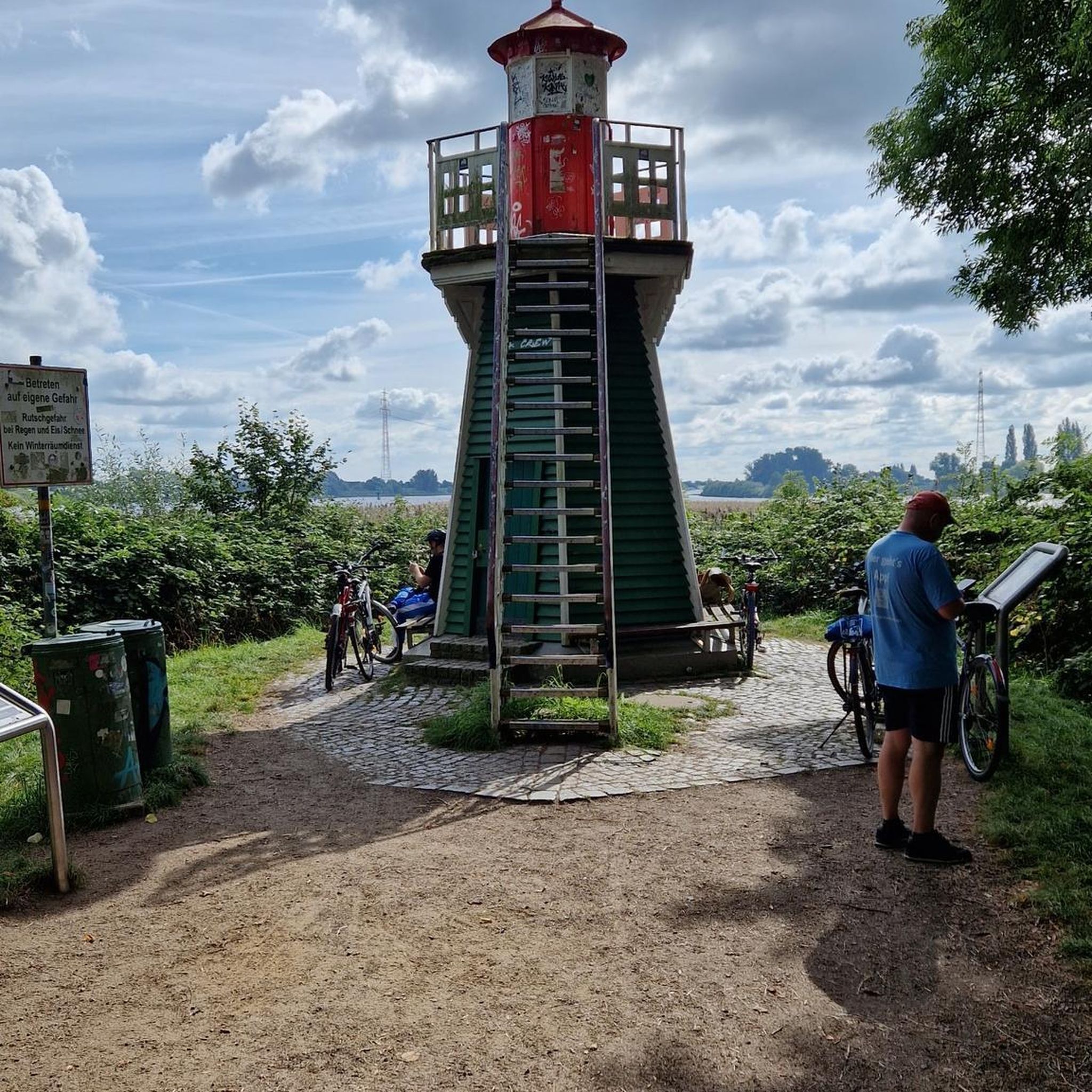
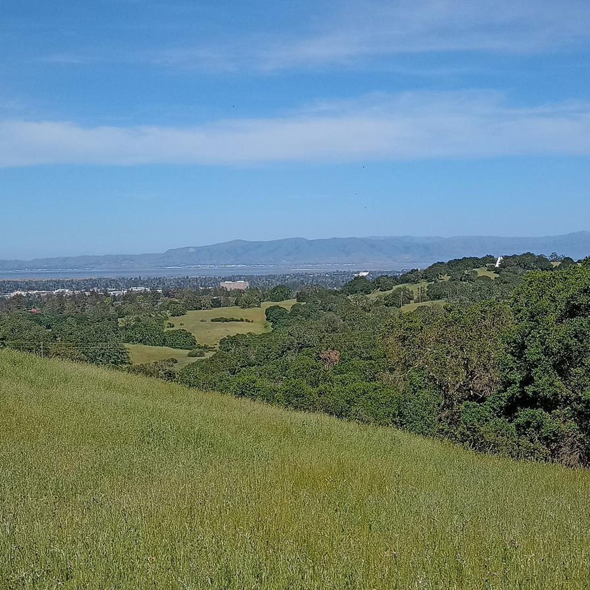
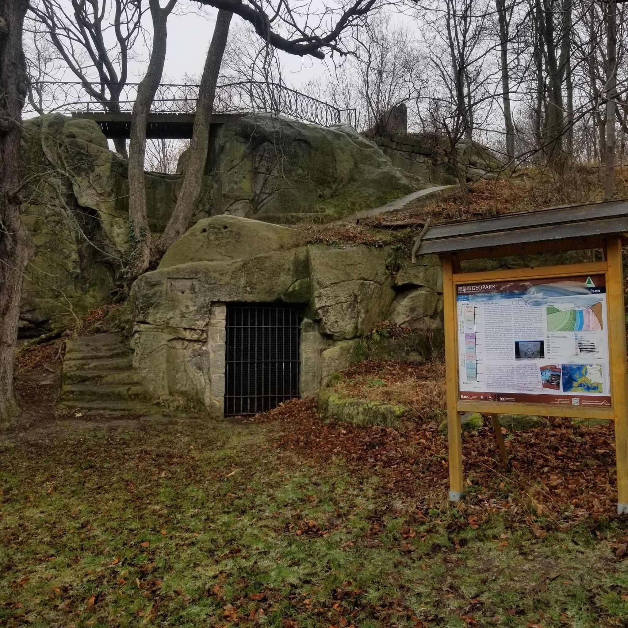
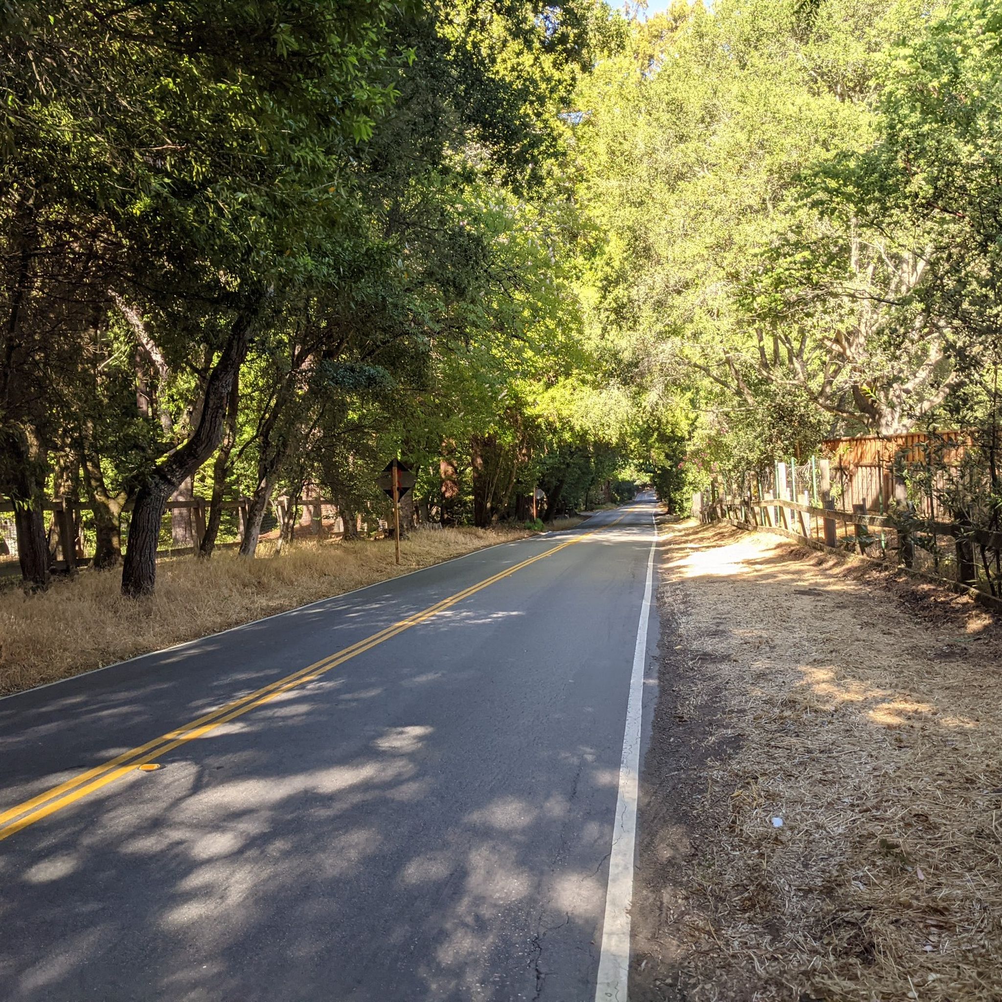
Tips from the Community

The Northern part of Alpine Road is a paved and curvy descent through wooded areas and runs parallel to Coal Mine Ridge Preserve, eventually connecting with the trailhead there.
0
0

This mostly paved bike trail alongside Alpine Road is great for bike commuting — just don't run over any slower trail users! The trail runs all the way from Portola Valley to Stanford, offering some nice shade along the way. The brief moments of unpaved trail are near the Portola Valley end.
0
0

Didn’t OLR used to turn into Dirt before reaching Skyline? Is it all pavement now?? Scott
0
0

A sculpture made by Augustin Rodnin
0
0


Alameda de las Pulgas Road has consistent traffic but features a good bike lane for safe cycling. The route is straightforward and flat, it works for a smooth ride through the area.
0
0
Page Mill Road is a classic route for cyclists looking for a challenge, with its steep climbs, sharp switchbacks, and stunning views of Silicon Valley. Starting near Palo Alto and climbing into the Santa Cruz Mountains, the ride tests your legs but rewards you with breathtaking scenery. Be prepared for varying gradients, especially in the lower sections, and pack plenty of water—the climb can be intense, especially on warmer days.
0
0
Frequently Asked Questions
How many road cycling routes are available around Ladera?
There are over 170 road cycling routes around Ladera, catering to various skill levels. You'll find a wide selection, from easy loops to more challenging climbs through the rolling hills.
What are the difficulty levels of road cycling routes in Ladera?
Ladera offers a diverse range of routes: approximately 68 are considered easy, 69 are moderate, and 33 are difficult. This variety ensures options for beginners and experienced cyclists alike.
What kind of terrain can I expect when road cycling around Ladera?
Road cycling around Ladera features a naturally rolling landscape with diverse terrain, including both inclines and descents. The area boasts an extensive network of paved paths and manufactured trails, perfect for road bikes, winding through scenic foothills and offering mountain views.
Are there family-friendly road cycling routes in Ladera?
Yes, Ladera offers several easy road cycling routes suitable for families. These often feature mostly paved surfaces and gentler gradients, allowing for a pleasant experience for all ages. An example of an easy route is the Portola Valley – Rossotti's Alpine Inn loop from Enid Pearson-Arastradero Preserve.
Are there loop routes available for road cycling in Ladera?
Many road cycling routes in Ladera are designed as loops, providing a convenient way to explore the area without retracing your path. Popular loop options include the Junipero Serra Boulevard loop from Stanford Linear Accelerator Center National Accelerator Laboratory and the Old La Honda Road – Manzanita Way loop from Portola Valley.
What do other road cyclists enjoy most about road cycling in Ladera?
The area is highly rated by the komoot community, with an average score of 4.6 stars from over 280 reviews. Cyclists often praise the varied terrain, scenic views of the mountains and occasional ocean glimpses, and the well-maintained network of paved paths.
Where can I find scenic viewpoints along road cycling routes in Ladera?
Many routes offer stunning vistas. The rolling hills provide numerous points with panoramic views of Orange County, and you can often catch glimpses of the ocean. The region's proximity to the Orange County Saddleback ensures picturesque mountain backdrops throughout your ride.
Are there any specific landmarks or points of interest I can see while cycling?
Yes, several routes pass by notable landmarks. For instance, you might encounter the historic Woodside Store. Additionally, routes often traverse areas near significant cycling features like Old La Honda Road and Kings Mountain Road.
Where can I park my car when road cycling in Ladera?
Parking is generally available near trailheads and community parks in and around Ladera. For routes starting from specific locations, such as the Stanford Linear Accelerator Center National Accelerator Laboratory or Portola Valley, designated parking areas are typically accessible.
Are there cafes or places to stop for refreshments along the routes?
Yes, several routes pass through or near communities like Portola Valley and Woodside, where you can find cafes and other establishments popular with cyclists. These spots offer convenient breaks for refreshments and a chance to refuel during your ride.
What is the best time of year for road biking in Ladera?
Ladera's mild climate makes it suitable for road cycling year-round. However, spring and fall often offer the most comfortable temperatures and pleasant conditions. Winter rides are also possible, though it's always wise to check local weather forecasts.
Can I use public transport to access road cycling routes in Ladera?
While Ladera is primarily accessed by car, some public transport options might connect to nearby towns. However, for direct access to specific road cycling trailheads, driving is generally the most convenient method.
Most popular attractions around Ladera

Get inspired with the komoot mobile app


Explore more
Browse the best Road cycling routes in other regions.
