The best walks and hikes around Diamond Springs
17
hikers
5
hikes
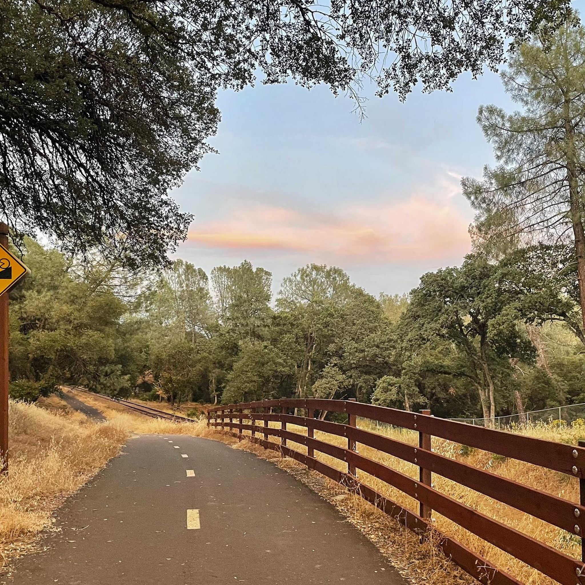
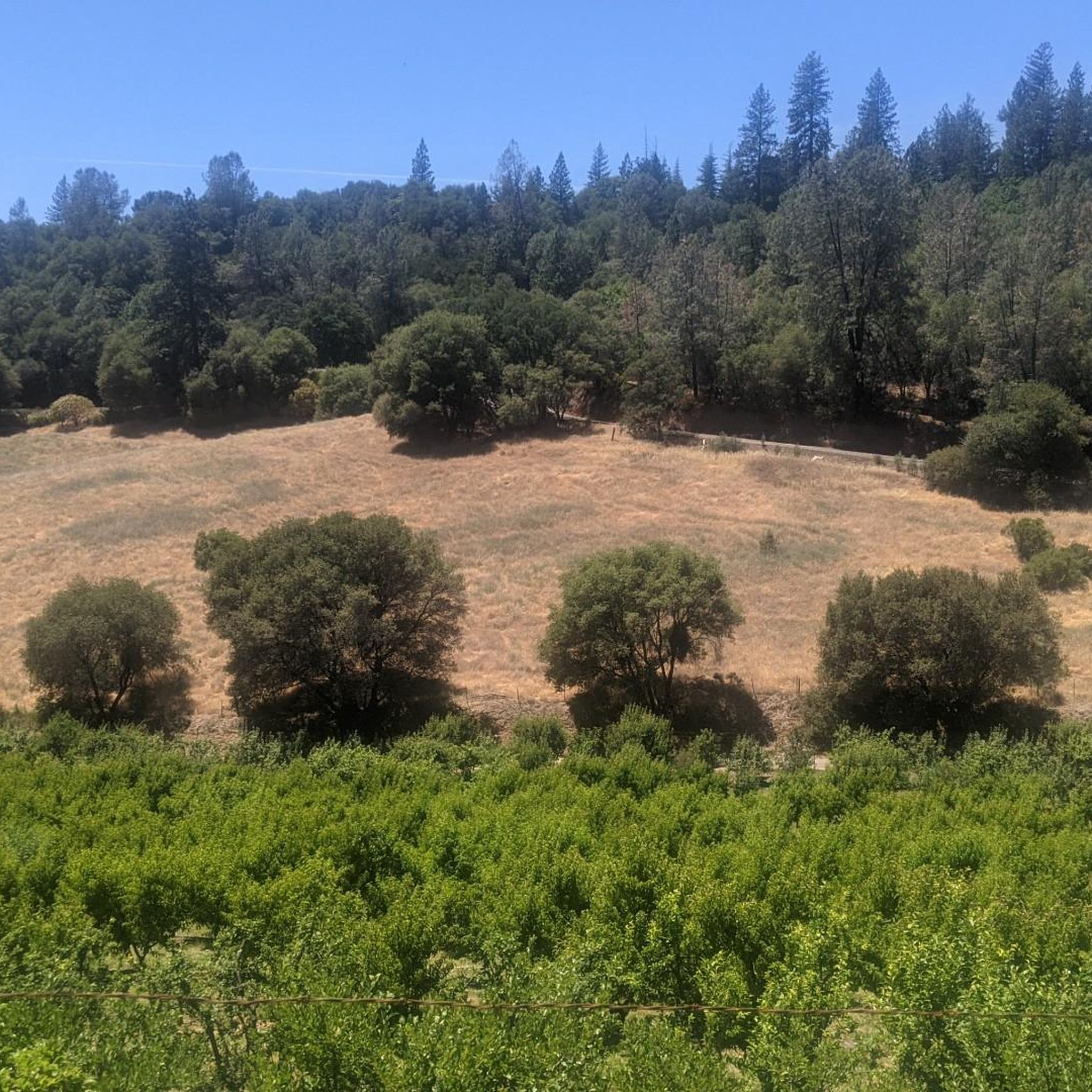
Hiking trails near Diamond Springs are situated in the Sierra Nevada foothills, characterized by oak-dotted landscapes and rolling hills. The region features numerous creeks and streams, contributing to its natural environment. The South Fork American River is a prominent natural feature nearby, offering scenic vistas. This area provides access to diverse terrain, from gentle paths along rivers to more undulating routes through woodlands.
Best hiking trails around Diamond Springs
- The most popular hiking route is El Dorado Trail, a…
Last updated: August 17, 2026
1
hikers
4.17km
01:13
120m
110m
Embark on an easy hike through Cameron Park Hills, where you'll find varied terrain winding past towering pines and sprawling oaks. This route covers 2.6 miles (4.2 km) with a…
13.3km
03:33
40m
330m
Embark on the El Dorado Trail for a moderate hike spanning 8.2 miles (13.3 km), offering a gentle ascent of 147 feet (45 metres) over approximately 3 hours and 32…

Sign up for free
1.64km
00:26
10m
10m
This easy hike, the Sutter's Mill Replica via Gold Discovery Trail, offers a pleasant stroll through riparian oak woodlands. You will follow the scenic South Fork American River, enjoying the…
1.14km
00:20
0m
80m
Embark on the Sand Bar Recreational Trail for an easy 0.7-mile (1.1 km) hike that takes just 19 minutes to complete, with a gentle elevation gain of 6 feet (2…
16
hikers
3.66km
01:16
210m
210m
Embark on an easy hike along the Red Shack Trail, a 2.3-mile (3.7 km) route that takes about 1 hour and 16 minutes to complete. You'll descend through a beautiful…
Our route recommendations are based on thousands of hikes, rides, and runs completed by other people on komoot.
Start today with a free account
Your next adventure awaits.
Login or Signup
Popular around Diamond Springs

Tips from the Community

Nestled along the South Fork American River in Coloma, California lies an unassuming sawmill that sparked a historic frenzy. Sutter's Mill was owned by 19th-century pioneer John Sutter when gold was first discovered there in 1848, igniting the California Gold Rush. This monumental event drew hopeful prospectors from around the world to the Sierra Nevada foothills, forever changing the landscape and population of California. Sutter's Mill marked the site of the western United States' first significant gold discovery, making it a cherished landmark. Today, the mill is preserved within Marshall Gold Discovery State Historic Park, allowing visitors to reflect on its legacy and the pivotal role it played in the history and development of the United States.
0
0

Exciting long one lane bridge across the South Fork American River
0
0
Partially steep trail descending to the river for a fishing spot and an overlook to see rafters float down the popular river
1
0
Frequently Asked Questions
How many hiking trails are available around Diamond Springs?
Komoot offers a selection of 5 hiking trails around Diamond Springs. These routes cover a variety of landscapes, from oak-dotted hills to river overlooks, providing options for different preferences and skill levels.
Are there any easy, family-friendly hikes in Diamond Springs?
Yes, Diamond Springs offers several easy trails perfect for families. The Sand Bar Recreational Trail is a short, gentle option. The Sutter's Mill Replica via Gold Discovery Trail is another easy walk, offering a glimpse into the region's history. Additionally, the El Dorado Trail has paved segments suitable for all ages.
What are some dog-friendly hiking options in the area?
Many trails in the Diamond Springs area are dog-friendly, though leash laws typically apply. While specific komoot routes don't explicitly state dog-friendliness, the wider region, including areas like The Potholes near Silver Lake, is known for welcoming dogs on trails. Always check local regulations before heading out with your furry friend.
Are there any trails with waterfalls near Diamond Springs?
Yes, the region boasts trails leading to beautiful waterfalls. The Canyon Creek Trail leads to the Black Hole of Calcutta Falls, offering a scenic reward for your hike. The Black Hole of Calcutta Falls itself is also accessible via a moderate trail that is popular for birding.
What kind of landscapes can I expect to see while hiking around Diamond Springs?
Hiking around Diamond Springs offers diverse scenery. You'll encounter picturesque oak-dotted landscapes and rolling hills characteristic of the Sierra Nevada foothills. Many trails follow creeks and streams, and you can find vistas overlooking the South Fork American River, such as from the Red Shack Trail Overlook.
Are there any historical sites or points of interest along the trails?
Absolutely. The area is rich in history, particularly from the Gold Rush era. You can visit Sutter's Mill, a significant historical site, or explore the Sutter's Mill Replica via Gold Discovery Trail. The nearby Placerville Historic Downtown also offers a glimpse into 19th-century architecture and history.
What is the best time of year to go hiking in Diamond Springs?
The spring and fall seasons are generally ideal for hiking in Diamond Springs, offering pleasant temperatures and vibrant natural beauty. Spring brings wildflowers, while fall showcases beautiful foliage. Summer can be hot, so early morning or late afternoon hikes are recommended, especially on trails with less shade.
Are there any loop trails for hikers who prefer circular routes?
Yes, the region offers several loop trails. While our current selection includes linear routes like the Red Shack Trail, the wider El Dorado County area features popular circular options such as the Cronan Ranch Loop and the Olmstead Loop Trail, which follows a river.
What are some moderate hiking options for a bit more challenge?
For a moderate challenge, consider the El Dorado Trail. While it has easy sections, its longer distance provides a good workout. Other regional trails like the Marshall Monument Loop and Darrington (Salmon Falls) Trail also offer moderate difficulty with notable elevation gains.
Are there opportunities for birdwatching while hiking?
Yes, the diverse natural environment around Diamond Springs makes it a great spot for birdwatching. Trails that follow waterways or pass through oak woodlands, such as the Black Hole of Calcutta Falls trail or the Cronan Ranch Loop, are particularly good for spotting local bird species.
What do other hikers enjoy most about the trails in Diamond Springs?
Hikers often praise the accessibility and natural beauty of the trails around Diamond Springs. The variety of easy to moderate routes, combined with scenic views of oak woodlands, rolling hills, and river overlooks, makes the area a popular choice for outdoor enthusiasts seeking a peaceful escape.
Most popular routes around Diamond Springs
Most popular attractions around Diamond Springs

Get inspired with the komoot mobile app


Explore more
Browse the best Hikes in other regions.
