The best running trails around Day Valley
448
runners
38
runs
Jogging around Day Valley offers a diverse range of running experiences, with routes that traverse coastal areas, forested groves, and creek-side paths. The region features varied terrain, including both paved and unpaved surfaces, suitable for different preferences. Elevation changes are present on some routes, providing opportunities for more challenging runs.
Best jogging routes around Day Valley
- The most popular jogging route is Fire Road SA31, a 3.6 miles (5.7 km) trail that takes about 1 hour to complete, offering…
Last updated: October 11, 2026
5.71km
00:58
400m
400m
Fire Road SA31 offers a demanding uphill jogging experience through the forested Santa Cruz Mountains, rewarding your effort with truly expansive views. As you climb, you'll see Mount Umunhum and…
50
runners
12.5km
01:29
120m
120m
Moderate run. Good fitness required. Mostly paved surfaces. Suitable for all skill levels.

21
runners
Hard run. Very good fitness required. Mostly paved surfaces. Suitable for all skill levels.
11
runners
4.92km
00:33
60m
60m
Easy run. Great for any fitness level. Mostly paved surfaces. Suitable for all skill levels.
23
runners
11.7km
01:20
180m
180m
Moderate run. Good fitness required. Mostly paved surfaces. Suitable for all skill levels.
Get access to more routes and recommendations from other explorers.
Already have an account?
Our route recommendations are based on thousands of hikes, rides, and runs completed by other people on komoot.
Start today with a free account
Your next adventure awaits.

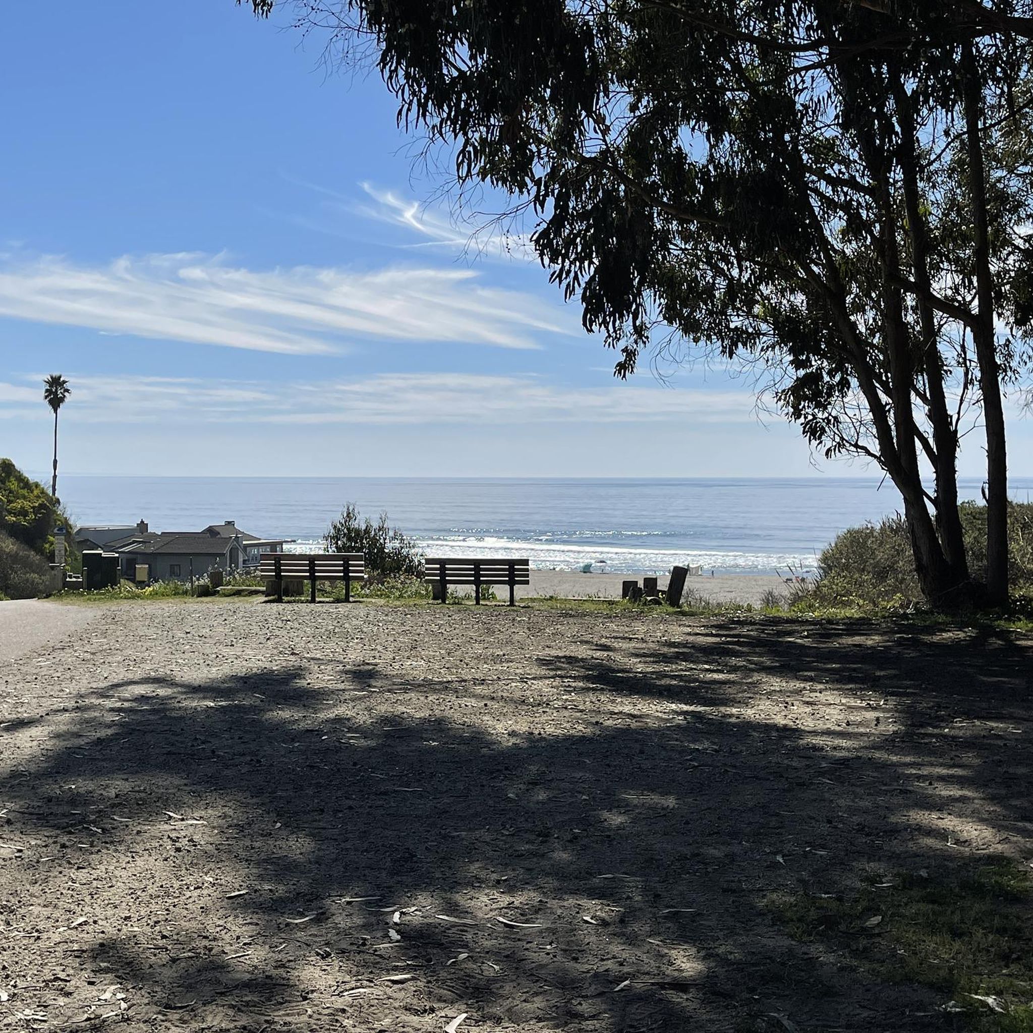
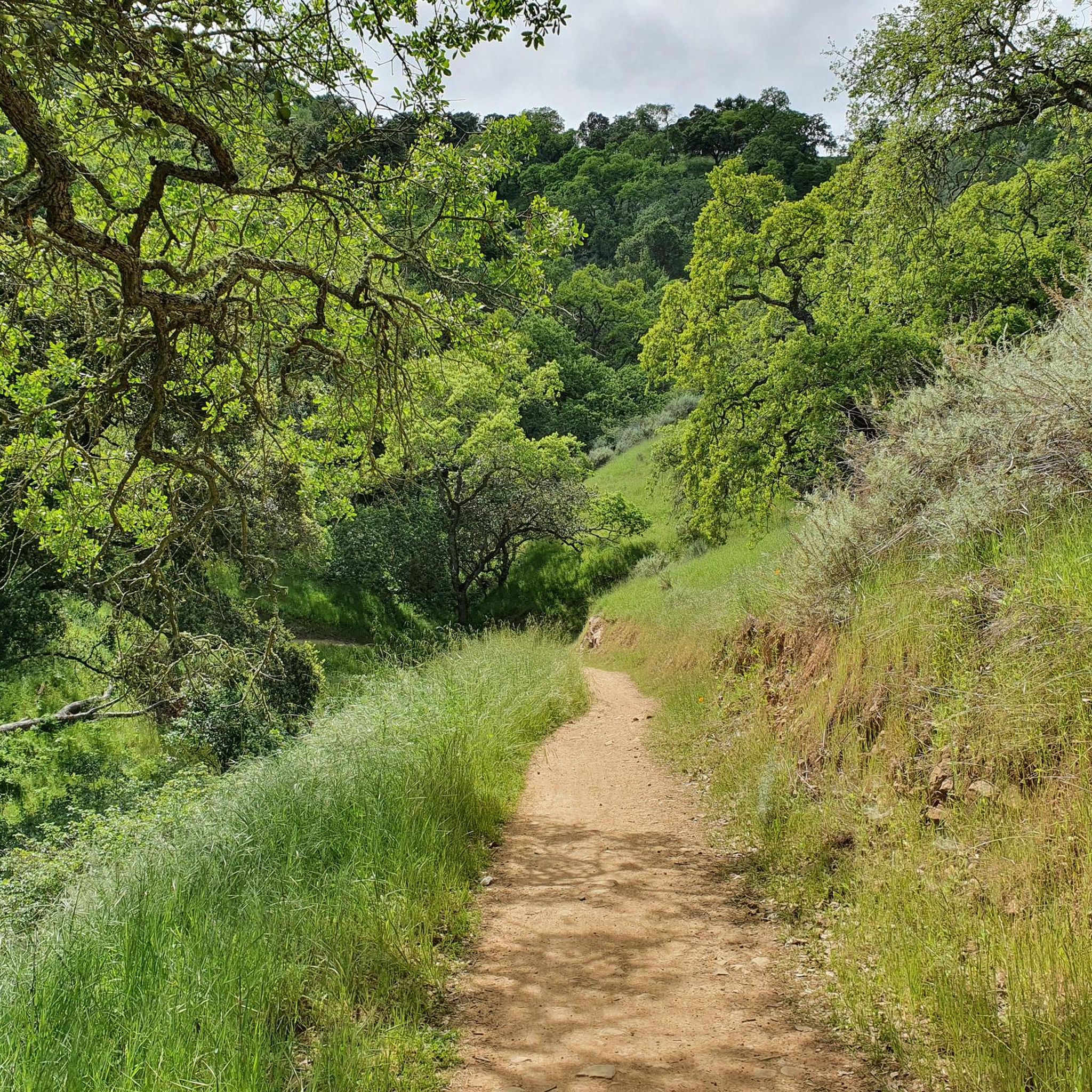
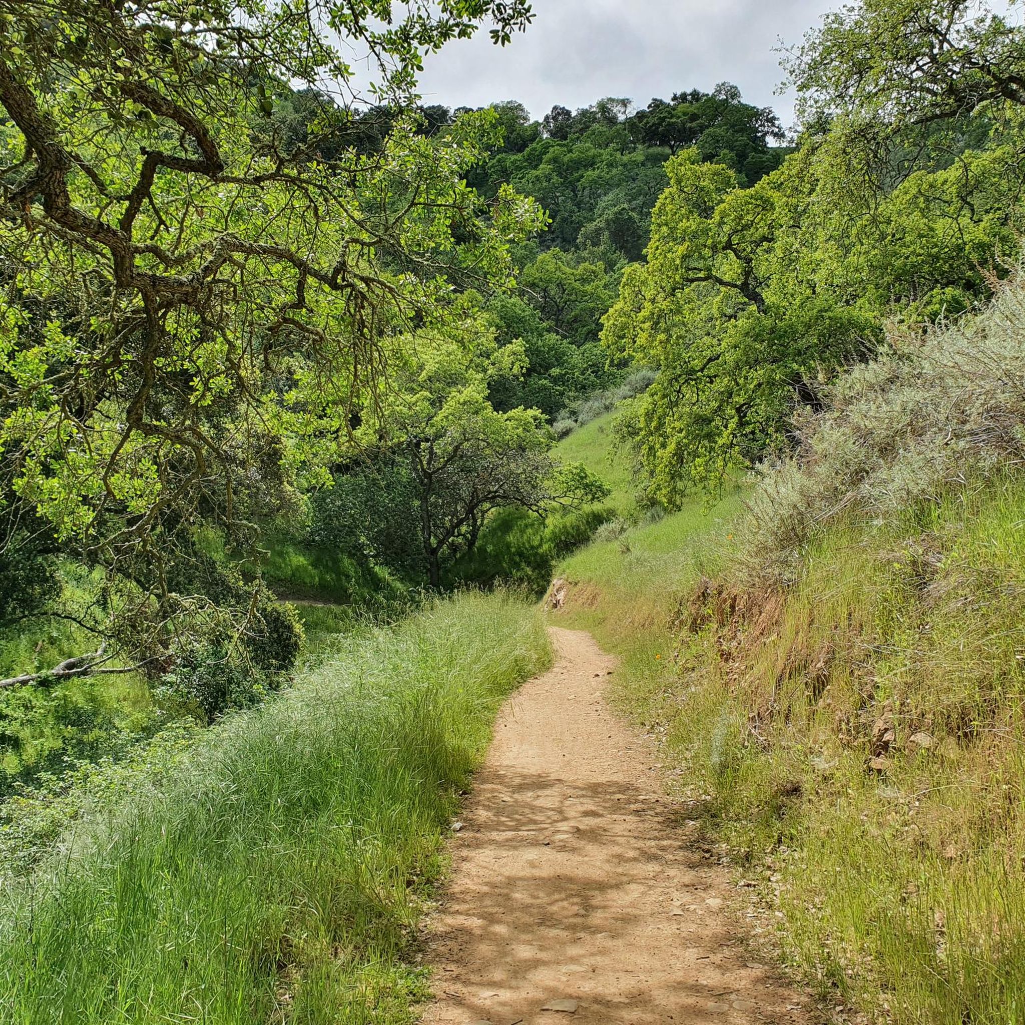

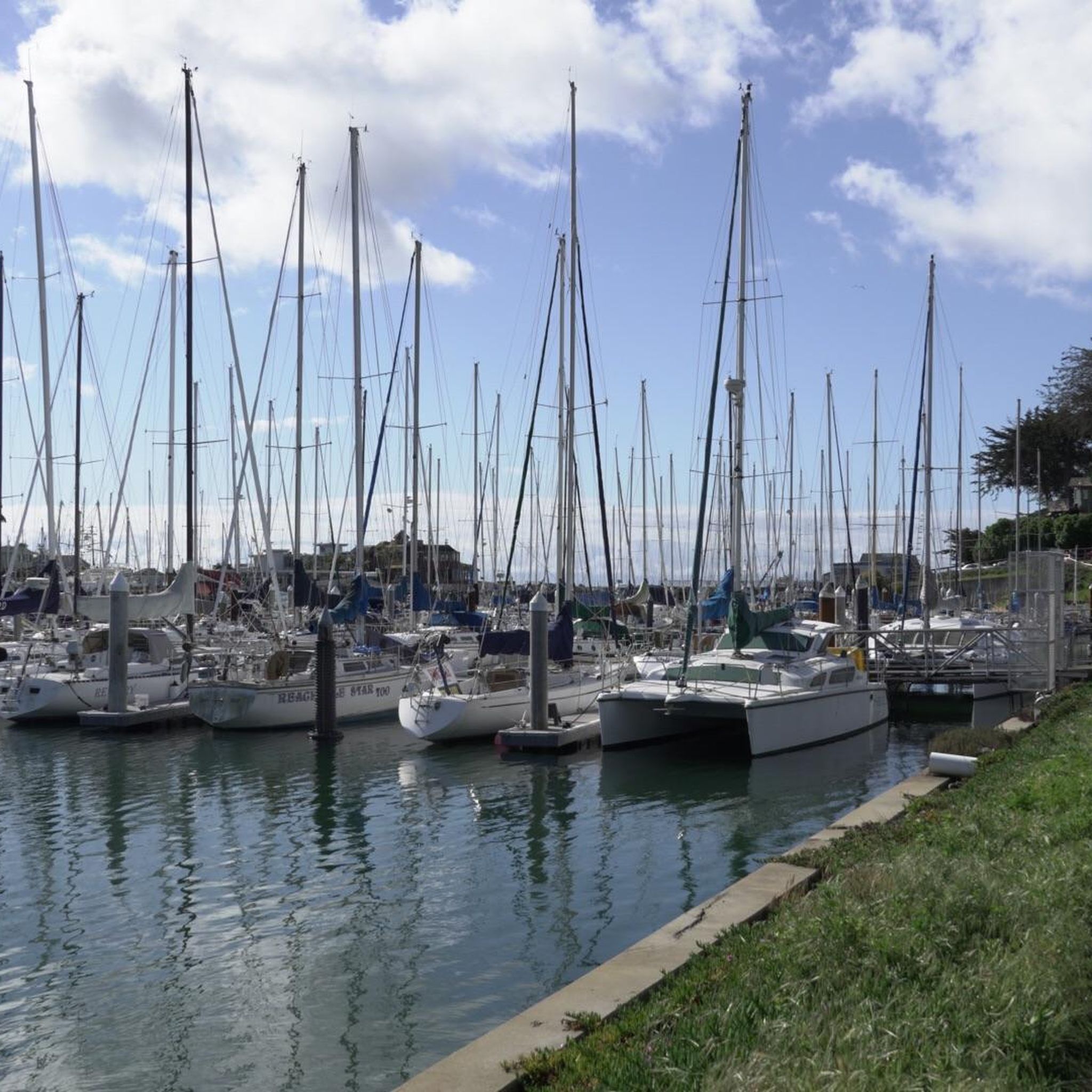
Other adventures around Day Valley

Tips from the Community

One of several natural-surface multi-use trails in these woods, occasionally butting up against Aptos Creek as they wind through the (relatively) young redwoods.
0
0

At the top of Loma Prieta Way, there is an overlook that allows you to see the Soquel Canyon State Marine Conservation Area on a clear day.
0
0

The Aptos Creek Road winds through The Forest of Nisene Marks State Park. It is worth parking up your bike and spending some time here to explore the network of trails through Redwood forests and along Aptos Creek.
0
0

A peaceful escape surrounded by nature, the towering redwood forest of Nisene Marks' Tillman Grove offers mountain bikers a scenic ride under its lush canopy. Coasting along soft dirt trails, keep your eyes peeled for wildlife peeking out from the ferns and your ears open to birds calling overhead.
0
0

The Forest of Nisene Marks State Park provides a picturesque backdrop for (trail) running enthusiasts. The park offers a network of diverse trails, weaving through redwood groves and along the Aptos Creek.
0
0

A small but sturdy bridge made out of wooden planks crosses Aptos Creek and links the starting point of Old Growth Loop Trail with its main loop.
0
0

A nice, small place, unfortunately a bit off the hiking trails, so that you have to walk a long time on the road to get in or out of the place. But the town center is worth it.
0
0
Frequently Asked Questions
How many running routes are available in Day Valley?
Day Valley offers a wide selection of running experiences, with over 45 routes available. These routes cater to various fitness levels, including easy, moderate, and difficult options.
What kind of terrain can I expect on Day Valley's running trails?
Runners in Day Valley can enjoy a diverse range of terrain. Routes traverse coastal areas, forested groves, and creek-side paths. You'll find both paved and unpaved surfaces, with some routes featuring elevation changes that provide opportunities for more challenging runs.
Are there family-friendly running routes in Day Valley?
Yes, Day Valley has several routes suitable for families. For an accessible option, consider the Bench by Aptos Creek loop from Seacliff State Beach, which is a moderate 3.1-mile path.
Are there dog-friendly running trails in Day Valley?
While specific dog-friendly designations vary, many trails in natural areas like Day Valley generally permit dogs on leash. It's always best to check local signage or park regulations for the specific trail you plan to run. For a moderate run, the Bench by Aptos Creek – Tillman Grove loop from Seacliff State Beach offers a scenic 5.5-mile path through forested areas.
Are there circular running routes in Day Valley?
Yes, many of the running routes in Day Valley are designed as loops, offering a convenient way to explore the area without retracing your steps. Examples include the Tillman Grove – Bench by Aptos Creek loop from Seacliff State Beach, a moderate 7.7-mile route, and the Bench by Aptos Creek – Tillman Grove loop from Seacliff State Beach, a 5.5-mile option.
What do other runners enjoy most about jogging in Day Valley?
The running routes in Day Valley are highly rated by the komoot community, with an average score of 4.0 stars. Runners often praise the diverse scenery, which includes coastal paths, redwood groves, and creek-side trails, offering a refreshing variety for every run.
Are there scenic running routes with viewpoints in Day Valley?
Yes, Day Valley and its surroundings offer several scenic spots. While running, you might encounter views of the coast or forested areas. For specific viewpoints, consider exploring areas near Lone Tree Prairie or Bald Mountain Viewpoint, which are popular for their panoramic vistas.
Where can I find parking for running trails in Day Valley?
Parking availability varies by trailhead. Many popular access points, especially near state parks or beaches like Seacliff State Beach, typically offer designated parking areas. It's advisable to check specific route details for parking information before you head out.
Can I reach Day Valley's running trails by public transport?
Public transport options to trailheads in Day Valley may be limited. While some urban 'Valley' locations have good public transport access, it's generally recommended to check local bus schedules or ride-sharing services for specific routes. Planning your journey in advance is key.
Are there any interesting landmarks or attractions near the running routes?
Absolutely! Beyond the trails, Day Valley's vicinity boasts several points of interest. You could visit Pleasure Point Beach for coastal views or explore the charming Capitola Village. For those interested in more challenging climbs, Mount Umunhum Road (climb) is also nearby.
What are some challenging running routes in Day Valley?
For runners seeking a challenge, Day Valley offers several difficult routes. The Fire Road SA31 is a notable option, covering 3.6 miles with a significant ascent, offering open views. Another demanding route is the Tillman Grove – Bench by Aptos Creek loop from Aptos, a 10.1-mile trail with considerable elevation gain.
Are there any easy running paths for beginners in Day Valley?
Yes, beginners can find suitable paths in Day Valley. While specific 'easy' routes are fewer, many moderate trails can be approached at a comfortable pace. The Bench by Aptos Creek loop from Seacliff State Beach is a moderate 3.1-mile route with minimal elevation, making it a good starting point.
Most popular attractions around Day Valley

Get inspired with the komoot mobile app


Explore more
Browse the best Running Trails & Routes in other regions.
