The best road cycling routes around Cayucos
4.8
(8)
415
riders
17
rides
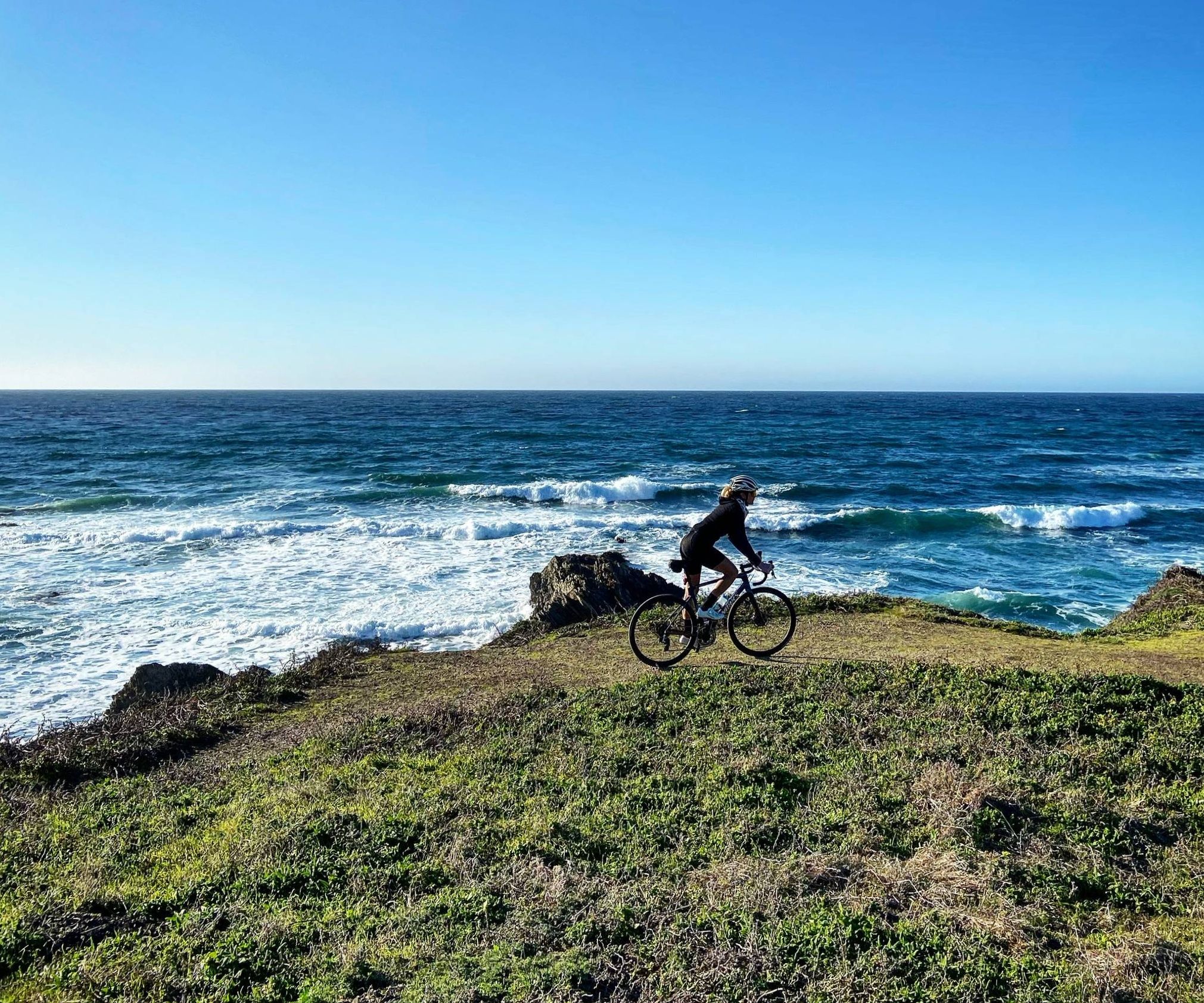
Road cycling routes around Cayucos feature a diverse coastal landscape, characterized by stretches along the Pacific Ocean and inland roads. The terrain includes flat sections suitable for longer rides, as well as rolling hills with moderate elevation gains. This region offers a mix of dedicated bike lanes and scenic routes through natural areas.
Best road cycling routes around Cayucos
- The most popular road cycling route is Cabrillo Highway 101 Bike Lane – Moonstone Beach loop from Morro Bay, a…
Last updated: October 11, 2026
5.0
(1)
29
riders
Moderate road ride. Good fitness required. Some segments of this route may be unpaved and difficult to ride.
23
riders
Moderate road ride. Good fitness required. Mostly well-paved surfaces and easy to ride.

5.0
(2)
21
riders
Moderate road ride. Good fitness required. Some segments of this route may be unpaved and difficult to ride.
38
riders
Moderate road ride. Great for any fitness level. Some segments of this route may be unpaved and difficult to ride.
5.0
(1)
24
riders
Moderate road ride. Good fitness required. Mostly well-paved surfaces and easy to ride.
Get access to more routes and recommendations from other explorers.
Already have an account?
Our route recommendations are based on thousands of hikes, rides, and runs completed by other people on komoot.
Start today with a free account
Your next adventure awaits.
Other adventures around Cayucos

Tips from the Community

This beautiful 40,662-acre reservoir provides drinking water for San Luis Obispo, Cayucos and the surrounding area. It is encompassed by grassy rolling hills and oak and sycamore trees, with herds of cattle grazing peacefully in the background. The lake is open to the public only during the trout fishing season (last Saturday in April to November 15th). The trail alongside the lake is primarily used as fishing access but is also a beautiful area for hiking, cycling, picnicking, and bird watching.
0
0
Los Osos Valley, nestled between southern San Luis Obispo and Baywood-Los Osos, is beautiful, with the town of Los Osos at its heart. As you ride along this stretch of road, you will see fantastic views of the Irish Hills to the south and five of the Nine Sisters volcanic mountains to the north. Flowing through the valley, Los Osos Creek opens up into southern Morro Bay.
0
0

Unexpectedly found a lot of sea lions here. It's amazing!
0
0

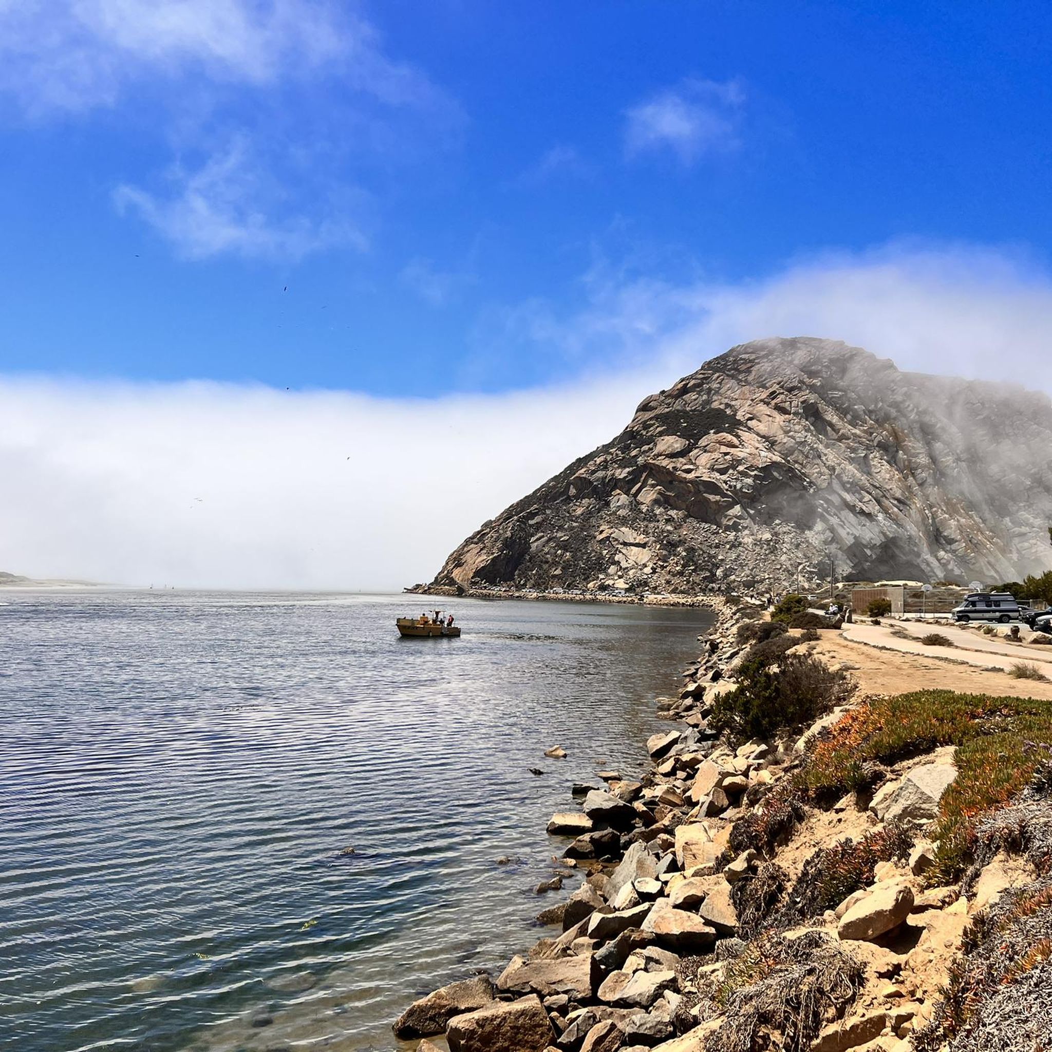
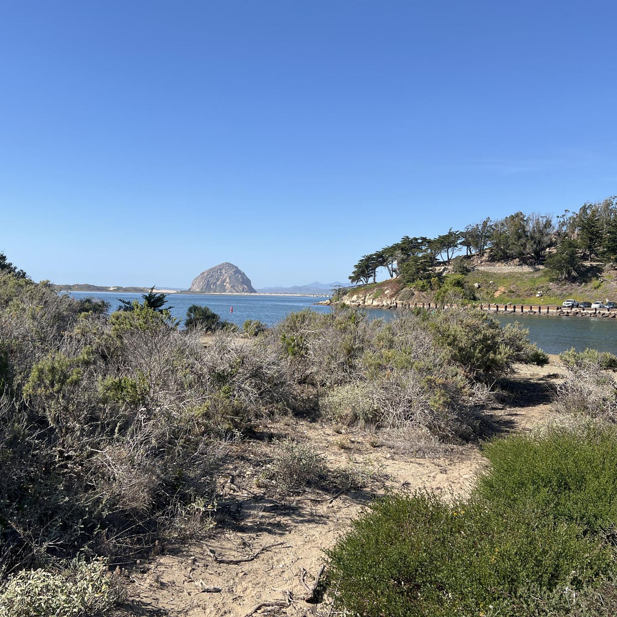
This small but picturesque park features a large anchor, picnic tables, and a fishing pier extending out past the boat docks. All of this makes for a near-perfect view of iconic Morro Rock. If you come early in the morning you are likely to have the place to yourself as the eastern sun lights up Morro Rock.
0
0

Los Osos Oaks Nature Preserve features 90 acres of century-old dwarf oaks in a coastal dune landscape. The oak trees, over 800 years old, have extraordinary gnarled roots, which spread out over the hiking trails. A magnificent site not to be missed!
1
0

A sculpture by Elizabeth MacQueen commemorating families waiting for loved ones lost at sea.
0
0

The Morro Bay National Estuary Program is one of 28 National Estuary Programs across the country committed to protecting and improving the health of some of the nation's most important coastal waters.
1
0

This region was once part of a Mexican land grant, which was later divided into farmland and ranchland. Even today, you can observe magnificent oak trees that have been growing within the sand dunes for centuries in this area. Be sure to keep an eye out for local wildlife, which is more visible after sunrise and before sunset.
0
0
Frequently Asked Questions
How many road cycling routes are available around Cayucos?
There are 15 road cycling routes around Cayucos, offering a diverse range of coastal and inland experiences. These routes are rated as moderate or difficult, with 13 moderate and 2 difficult options available.
Are there any easy road cycling routes for beginners in Cayucos?
The road cycling routes around Cayucos are generally rated as moderate to difficult, with no routes specifically categorized as easy. However, some moderate routes, like the Morro Rock from Coleman Park – Cabrillo Highway 101 Bike Lane loop from Cayucos, have lower elevation gains and shorter distances, which might be more approachable for those with some cycling experience.
What is the typical length and duration of road cycling routes in Cayucos?
The road cycling routes around Cayucos vary in length and duration. For example, the Cabrillo Highway 101 Bike Lane – Moonstone Beach loop from Morro Bay is approximately 46.8 miles (75.4 km) and takes about 3 hours 15 minutes, while the Morro Bay — National Estuary – Anchor Memorial Park loop from Morro Strand State Beach is 21.9 miles (35.3 km) and typically completed in about 1 hour 33 minutes.
Are there any challenging or advanced road cycling routes in the Cayucos area?
Yes, there are two routes around Cayucos specifically rated as difficult, catering to experienced road cyclists looking for a greater challenge. The remaining 13 routes are rated as moderate, offering a good balance of distance and elevation.
What kind of scenery can I expect on road cycling routes around Cayucos?
Road cycling routes around Cayucos are known for their diverse coastal landscapes. You can expect scenic stretches along the Pacific Ocean, views of Moonstone Beach, and routes through natural areas and parks around Morro Bay. Many routes offer stunning ocean vistas and opportunities to explore the unique coastal environment.
Are there any circular road cycling routes in Cayucos?
Yes, many of the road cycling routes around Cayucos are designed as loops, allowing you to start and end your ride in the same location. Examples include the Spooner's Cove – Pasadena Park on Morro Bay loop from Morro Strand State Beach and the Los Osos Valley Road – Morro Bay Harbor loop from Morro Strand State Beach.
What are some interesting landmarks or attractions to see along the road cycling routes?
Several routes pass by notable attractions. For instance, the Morro Bay — National Estuary – Anchor Memorial Park loop from Morro Strand State Beach takes you near the Morro Bay — National Estuary and Anchor Memorial Park. Other highlights in the area include the Nick Howell Legacy Bench and the Morro Bay Museum of Natural History.
What is the best season for road biking in Cayucos?
Cayucos generally offers mild weather year-round, making it suitable for road biking in most seasons. Spring and fall often provide the most pleasant conditions with moderate temperatures and less chance of fog. Summer can be popular, but coastal fog (known as 'June Gloom' or 'May Gray') can occur, especially in the mornings. Winter rides are possible, but it's advisable to check local forecasts for rain and cooler temperatures.
What do other road cyclists enjoy most about road cycling in Cayucos?
The road cycling routes in Cayucos are highly rated by the komoot community, with an average score of 4.9 stars from 12 reviews. Cyclists often praise the diverse coastal landscape, the scenic bike lanes, and the well-maintained routes that offer a mix of flat sections and rolling hills.
Are there opportunities to stop for coffee or refreshments along the routes?
While specific coffee shops are not detailed for each route, many of the road cycling routes pass through or near coastal towns like Cayucos and Morro Bay. These towns typically offer various amenities, including cafes, restaurants, and shops where you can stop for refreshments and breaks.
What should I wear for road biking in Cayucos during winter?
During winter in Cayucos, temperatures can be cool, especially in the mornings and evenings, and rain is possible. It's recommended to wear layers, including a moisture-wicking base layer, an insulating mid-layer, and a windproof/water-resistant outer shell. Gloves, shoe covers, and a cycling cap can also help keep you comfortable.
Are there any less crowded road cycling options around Cayucos?
While popular routes can see more traffic, exploring some of the less-trafficked inland sections or riding during off-peak hours (early mornings or weekdays) can offer a more solitary experience. The region offers a good network of routes, so you can often find quieter alternatives by exploring different options.
Most popular routes around Cayucos
Most popular attractions around Cayucos

Get inspired with the komoot mobile app


Explore more
Browse the best Road cycling routes in other regions.
