The best cycling routes around Castro Valley
4.5
(70)
973
riders
15
rides
Touring cycling routes around Castro Valley traverse a diverse landscape, featuring extensive trail networks, recreational lakes, and hilly terrain. The region is characterized by significant elevation changes, offering both challenging climbs and rewarding panoramic views of the Bay Area. Cyclists can explore redwood groves, wind along lakeshores, and ride flat, gravel trails along natural shorelines. This variety provides a range of experiences for different cycling preferences.
Best touring cycling routes around Castro Valley
- The most popular touring cycling route is…
Last updated: October 10, 2026
7
riders
43.9km
02:58
700m
700m
This difficult 27.3-mile touring cycling loop in Anthony Chabot Regional Park offers hilly terrain, redwood groves, and reservoir views.
2
riders
52.7km
03:15
490m
490m
Cycle the challenging 32.8-mile Iron Horse Regional Trail Loop, gaining 1611 feet through diverse East Bay landscapes.

21
riders
56.6km
03:49
930m
930m
Hard bike ride. Very good fitness required. Mostly paved surfaces. Suitable for all skill levels.
4.0
(2)
19
riders
36.8km
02:29
600m
600m
Hard bike ride. Very good fitness required. Mostly paved surfaces. Suitable for all skill levels.
4.0
(2)
19
riders
49.7km
03:19
780m
780m
Hard bike ride. Very good fitness required. Mostly paved surfaces. Suitable for all skill levels.
Get access to more routes and recommendations from other explorers.
Already have an account?
Our route recommendations are based on thousands of hikes, rides, and runs completed by other people on komoot.
Start today with a free account
Your next adventure awaits.

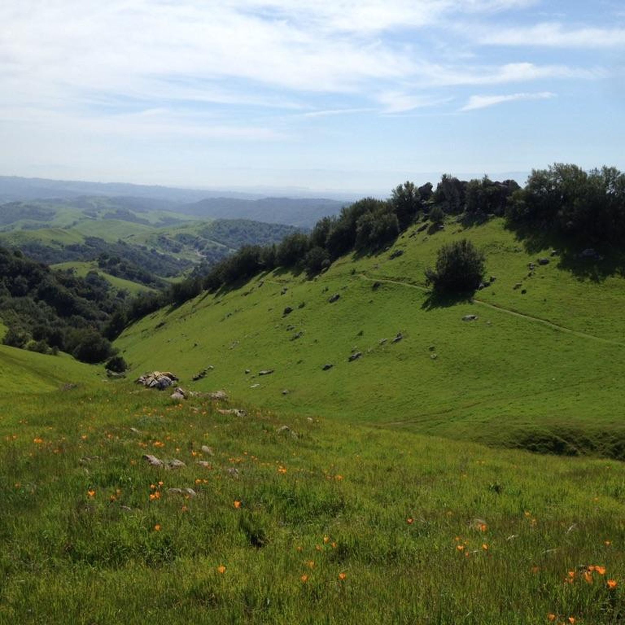
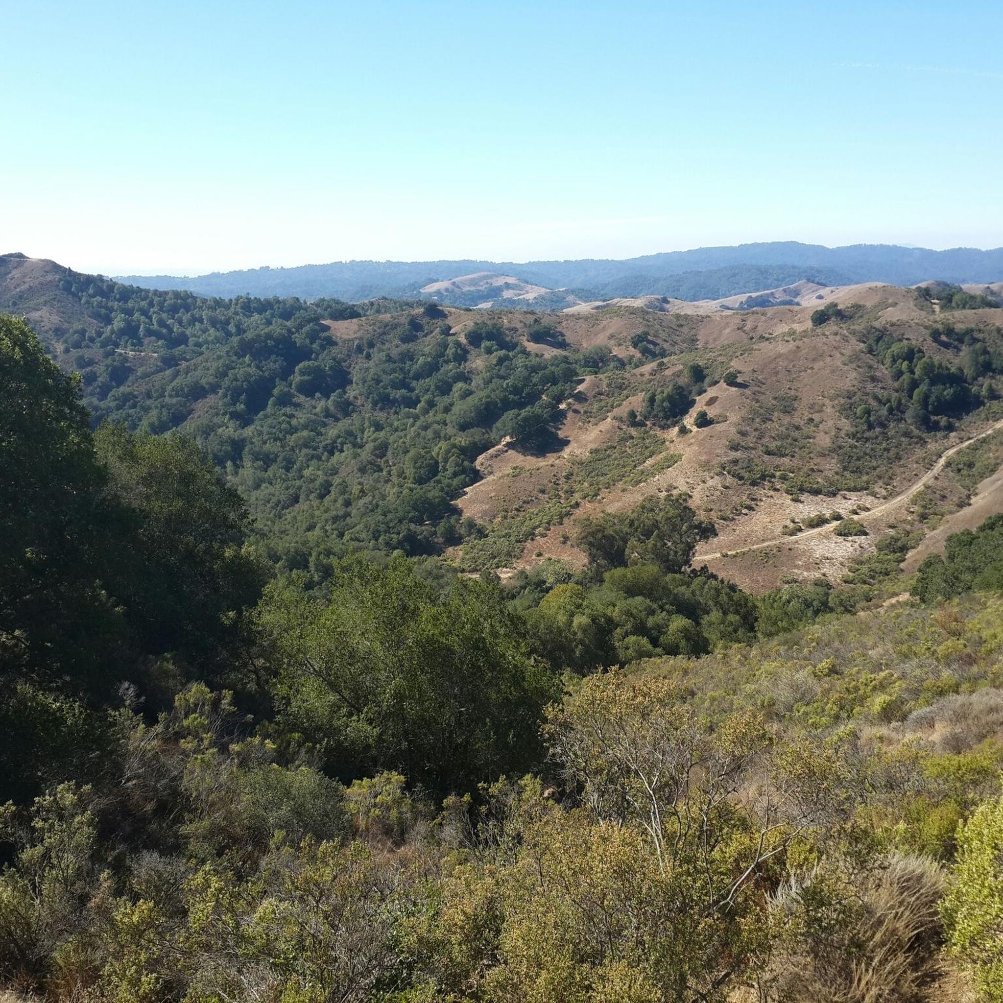
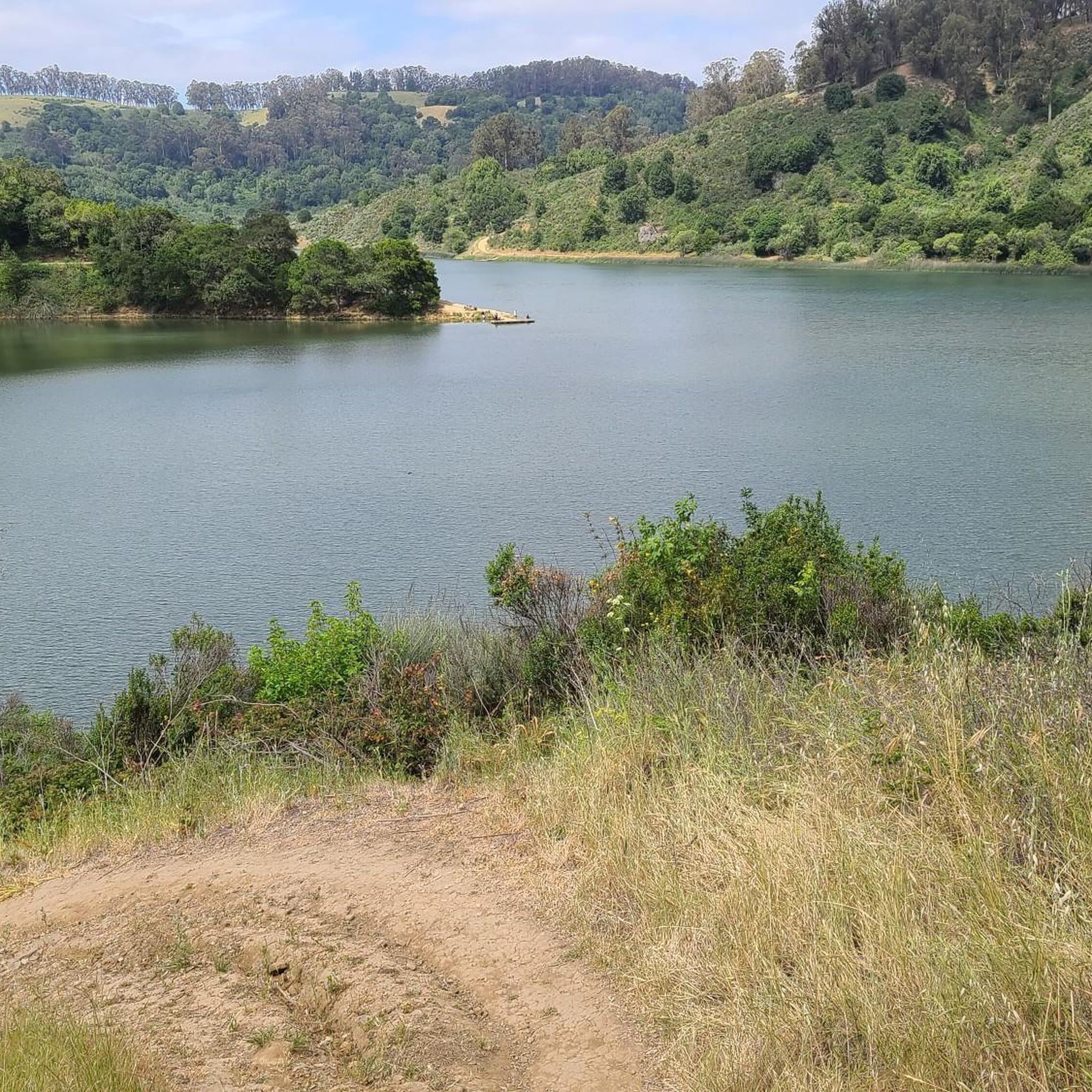

Other adventures around Castro Valley

Tips from the Community

Valle Vista is the trailhead for the paved Lafayette-Moraga Regional Trail, a popular rail-trail for cyclists. There’s a restroom here, but note: the EBMUD dirt trails are hiking-only and require a permit. The bike trail has been officially closed between here and Moraga since a 2019 landslide.
0
0

still closed, for more information and a detour see https://www.reddit.com/r/BAbike/comments/1b0mc5w/redwood_rd_closure_not_recommended_on_a_road_bike/
1
0


The Wilcox Station Staging Area serves as the parking for the former Wilcox Station, now part of the Sibley Volcanic Regional Preserve. The station was once part of the Sacramento Northern Railroad, an electric railway that operated between Oakland and Chico. It's worth noting that the trails in the Sibley Volcanic Regional Preserve are designated for hiking only.
0
0

A fully protected area (no biking inside) on the East side of the Oakland hills, sloping down between Sibley Volcanic Preserve and Redwood Regional Park.
0
0

With rolling climbs up and down, this area is wooded, paved, and often foggy. When the fog breaks, enjoy photo opportunities of the Bay Area.
0
0

A nice reward after climbing up Tunnel Road and Skyline Boulevard!
0
0
Just south of the San Leandro Reservoir, the Redwood Road winds along the hills. With trees to create shade and long winding turns and climbs, this road is like a roller coaster through the scenic Northern California hills.
0
0
Frequently Asked Questions
How many touring cycling routes are available in Castro Valley?
Castro Valley offers a diverse network of 14 touring cycling routes. These routes cater to various preferences, from challenging climbs to more relaxed rides, traversing hilly terrain, redwood groves, and natural shorelines.
What is the best time of year for touring cycling in Castro Valley?
The East Bay region, including Castro Valley, generally offers pleasant cycling conditions for much of the year. Spring and fall often provide mild temperatures and clear skies, ideal for exploring the diverse landscapes. Summer can be warm, especially in inland areas, while winters are typically mild but may bring rain.
What do other touring cyclists say about the routes in Castro Valley?
The touring cycling routes in Castro Valley are highly rated by the komoot community, with an average score of 4.2 stars from more than 5 reviews. Cyclists often praise the varied terrain, from challenging climbs with panoramic views to serene lakeside paths and redwood groves.
Are there easy touring cycling routes in Castro Valley?
While many routes in Castro Valley feature significant elevation changes, there is at least one easy touring cycling route available. For those seeking a more relaxed experience, areas like Oyster Bay Regional Shoreline and Hayward Regional Shoreline offer flatter, gravel trails along the waterfront, ideal for a leisurely ride.
Are there challenging touring cycling routes in Castro Valley?
Yes, Castro Valley is well-known for its challenging touring cycling routes, with 7 routes classified as difficult. These routes often feature significant elevation gains and offer rewarding panoramic views. An example is the Redwood Regional Park Entrance – Redwood Grove loop from Castro Valley, which includes a substantial climb through redwood groves.
Can I find routes that go through redwood groves?
Absolutely. Castro Valley offers routes that immerse you in the beauty of redwood forests. The Redwood Road Loop, for instance, is a challenging ride within Anthony Chabot Regional Park that features hilly terrain and redwood groves.
What natural attractions can I see along the touring cycling routes?
Along the touring cycling routes, you can explore various natural attractions. Highlights include the Oyster Bay Regional Shoreline, Hayward Regional Shoreline, and the East Shore Trail — Lake Chabot Regional Park. You might also encounter diverse ecosystems from eucalyptus and oak groves to open meadows.
Are there touring cycling routes with scenic views of the Bay Area?
Yes, the hilly terrain surrounding Castro Valley provides numerous opportunities for breathtaking panoramic views of the Bay Area. Many routes offer rewarding vistas after challenging climbs, showcasing the picturesque backdrop of the East Bay Hills.
Are there family-friendly touring cycling options in Castro Valley?
For families, areas like Lake Chabot Regional Park offer scenic bike paths. While many routes have significant elevation, flatter sections along shorelines, such as Oyster Bay Regional Shoreline, can be more suitable for a relaxed family outing.
Are there any loop touring cycling routes?
Yes, several loop routes are available for touring cyclists. The Iron Horse Regional Trail Loop is a challenging option offering diverse East Bay landscapes. Another is the Dublin Canyon Route – Bay Trees Community Park loop from Castro Valley, which provides a moderate cycling experience.
Are there dog-friendly touring cycling trails?
While specific cycling trails may have restrictions, the Oyster Bay Regional Shoreline is known for being dog-friendly, offering space for dog walking alongside biking and hiking. It's always best to check specific park regulations regarding dogs on trails before heading out.
Can I find routes that include cafes or places to stop?
Yes, some routes are designed to pass by convenient stops. For example, the Moraga Ranch & Café loop from Castro Valley specifically includes a café, making it a great option for those who enjoy a refreshment break during their ride.
Where can I find parking for touring cycling routes?
Many popular cycling areas in Castro Valley, such as Anthony Chabot Regional Park and Lake Chabot Regional Park, offer designated parking facilities for visitors. It's advisable to check the specific park or trailhead information for parking availability and any associated fees before your ride.
Most popular attractions around Castro Valley

Get inspired with the komoot mobile app


Explore more
Browse the best Cycling routes in other regions.
