The best road cycling routes around Burbank
4.6
(256)
8,206
riders
174
rides
Road cycling routes around Burbank are characterized by a mix of urban and suburban landscapes, with proximity to the Verdugo Mountains offering opportunities for varied elevation. The region features a network of roads suitable for cycling, ranging from flatter city streets to more challenging climbs in the surrounding hills. Cyclists can find routes that navigate through residential areas, past local landmarks, and towards natural open spaces.
Best road cycling routes around Burbank
- The most popular road cycling route is Rose…
Last updated: July 1, 2026
5.0
(1)
69
riders
74.2km
03:05
470m
470m
Moderate road ride. Good fitness required. Mostly well-paved surfaces and easy to ride.
5.0
(1)
101
riders
48.9km
03:07
410m
410m
Moderate road ride. Good fitness required. Some segments of this route may be unpaved and difficult to ride.

Sign up for free
5.0
(5)
86
riders
19.2km
00:51
60m
60m
Easy road ride. Great for any fitness level. Mostly well-paved surfaces and easy to ride.
5.0
(2)
64
riders
44.7km
02:01
410m
410m
Moderate road ride. Good fitness required. Mostly well-paved surfaces and easy to ride.
5.0
(5)
65
riders
63.9km
03:40
1,140m
1,140m
Hard road ride. Very good fitness required. Mostly well-paved surfaces and easy to ride.
Get access to more routes and recommendations from other explorers.
Sign up for free
Already have an account?
Our route recommendations are based on thousands of hikes, rides, and runs completed by other people on komoot.
Start today with a free account
Your next adventure awaits.
Login or Signup


Tips from the Community

Great bar. Friendly helpful staff/owner simple ordering system. Great place to watch the world go by with a beer 🍻
0
0

The Los Gatos Creek Trail offers a safe paved trail for walkers, joggers, cyclists, skaters, and nature lovers. Spanning multiple jurisdictions, it runs from San Jose through Campbell and Los Gatos, managed by agencies from these areas. The Campbell section has some nice shady spots, a gazebo, and an exercise circuit near Campbell Park; the whole trail spans about 10 miles.
0
0

A scenic stop just off the winding roads of the Santa Cruz Mountains, Lexington Reservoir County Park is a great spot to catch your breath and enjoy the view. The smooth pavement along Alma Bridge Road makes it a popular stretch for cyclists, with rolling terrain and minimal traffic. There's parking, restrooms, and shaded areas if you need a break. From here, you can loop toward Los Gatos or push deeper into the climbs of Highway 17 and Old Santa Cruz Highway.
0
0

Guadalupe Creek flows eastward from San Bruno Mountain in San Mateo County, passing through San Bruno Mountain State and County Park and Brisbane before reaching Brisbane Lagoon, a remnant of San Francisco Bay. The area is home to endangered butterflies and the San Francisco garter snake. The creek can be seen from Hicks Road, and it winds along the side of the road.
1
0
Vasona Reservoir, located on Los Gatos Creek, is surrounded by the 152-acre Vasona Lake County Park. Built in 1935 as one of six original reservoirs approved by voters in 1934. Vasona Reservoir holds 495 acre-feet of water and spans 57 acres. The park offers picnicking, catch-and-release fishing, and human-powered boating. Swimming is not permitted. It's a great spot for photography and sunrises.
1
0
Los Gatos Coffee Roasting Company has been crafting coffee since 1982, becoming a beloved gathering spot for locals. They offer local wines, craft beers, and live music events on Thursdays, Fridays, and Saturdays from 7–9 PM. Visitors can enjoy espresso, tea, pastries, and fresh coffee beans to take home. Seating is available indoors, outdoors, and in a designated parklet.
1
0

A lovely truss bridge spans the small forested canyon carved by Los Gatos Creek. On the south side there is a large parking lot for the Los Gatos Creek Trail.
1
0
Frequently Asked Questions
How many road cycling routes are available in Burbank?
Burbank offers a wide variety of road cycling routes, with over 160 options available on komoot. These routes cater to different skill levels, including easy, moderate, and challenging rides.
Are there easy road cycling routes suitable for beginners or families in Burbank?
Yes, Burbank has numerous easy road cycling routes perfect for beginners or families. There are 75 easy routes available. A great option for a relaxed ride is the San Tomas Aquino Creek Trail – New Chicago Marsh loop from Fruitdale, which offers a relatively flat profile over 23.9 miles (38.5 km).
What kind of terrain and elevation can I expect on road cycling routes in Burbank?
Road cycling routes in Burbank feature a diverse mix of urban and suburban landscapes. While many routes navigate flatter city streets, the proximity to the Verdugo Mountains provides opportunities for more challenging climbs and varied elevation changes in the surrounding hills. You can find routes with significant elevation gain for a more strenuous workout.
Are there any longer road cycling routes for experienced riders in Burbank?
For experienced riders looking for longer distances, Burbank offers several options. The Rose Garden to Portola Valley loop is a popular choice, covering 46.1 miles (74.2 km) with varied terrain and elevation changes, typically taking around 3 hours 5 minutes to complete.
What are some scenic spots or landmarks to see along road cycling routes in Burbank?
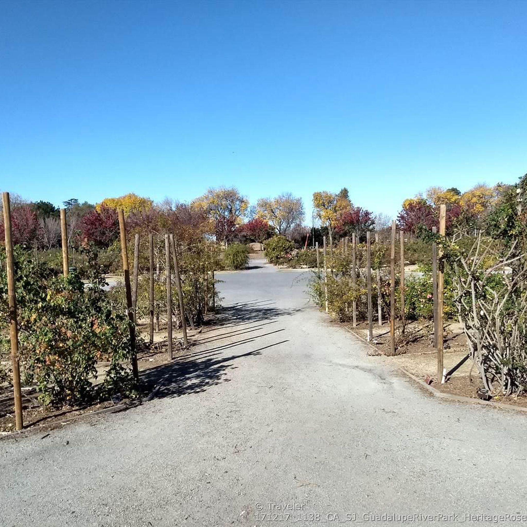
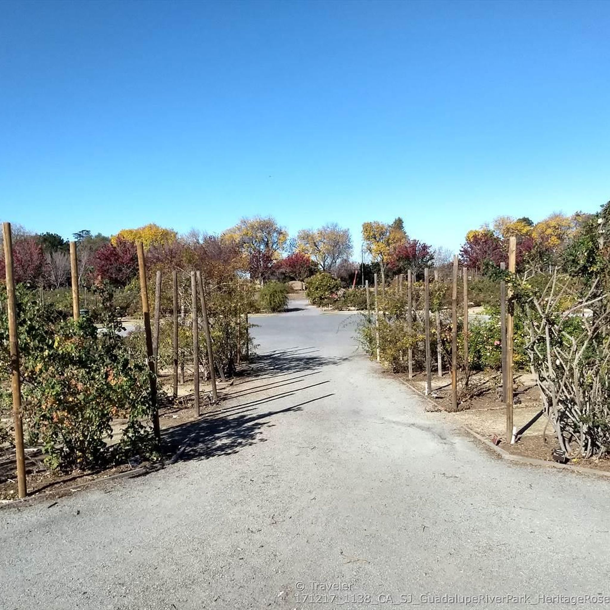
Many routes in Burbank pass by interesting natural and man-made features. You can cycle near Camden Ponds and Vasona Lake County Park, offering pleasant waterside views. Some trails also lead past the Guadalupe River Trail, Park & Gardens, providing a mix of urban greenways and natural beauty.
Are there challenging road cycling routes with significant climbs in the Burbank area?
Yes, for those seeking a challenge, Burbank's proximity to the Verdugo Mountains offers routes with notable climbs. The Los Gatos Creek Trail bridge – Shannon Road (climb) loop from Fruitdale is a moderate route that includes significant elevation gain, making it suitable for riders looking for a more demanding experience.
What do other road cyclists say about the routes in Burbank?
The road cycling routes in Burbank are highly regarded by the komoot community, holding an average rating of 4.6 stars from over 225 reviews. Cyclists often praise the diverse network of roads that offer options for all ability levels, from easy rides through suburban areas to more challenging routes with significant elevation gain in the surrounding hills.
Are there any loop routes available for road cycling in Burbank?
Yes, many of the road cycling routes in Burbank are designed as loops, providing convenient starting and ending points. Examples include the Camden Ponds – Los Gatos Creek Trail bridge loop from Fruitdale and the Camden Ponds – Vasona Lake Dam loop from Fruitdale, both offering circular paths through varied scenery.
What is the best time of year to go road cycling in Burbank?
Burbank generally enjoys mild weather, making road cycling enjoyable for much of the year. Spring and fall often provide the most comfortable temperatures for longer rides. While winters are typically mild, summers can be hot, so early morning or late afternoon rides are recommended during warmer months.
Can I find routes that pass by lakes or water features in Burbank?
Absolutely. Several road cycling routes in Burbank incorporate scenic water features. For instance, the Camden Ponds – Los Gatos Creek Trail bridge loop from Fruitdale leads through suburban areas and alongside water features. You can also find routes that pass by Camden Ponds and Vasona Lake County Park.
Most popular attractions around Burbank

Get inspired with the komoot mobile app


Explore more
Browse the best Road cycling routes in other regions.
