The best walks and hikes around Bolinas
4.8
(224)
3,672
hikers
121
hikes
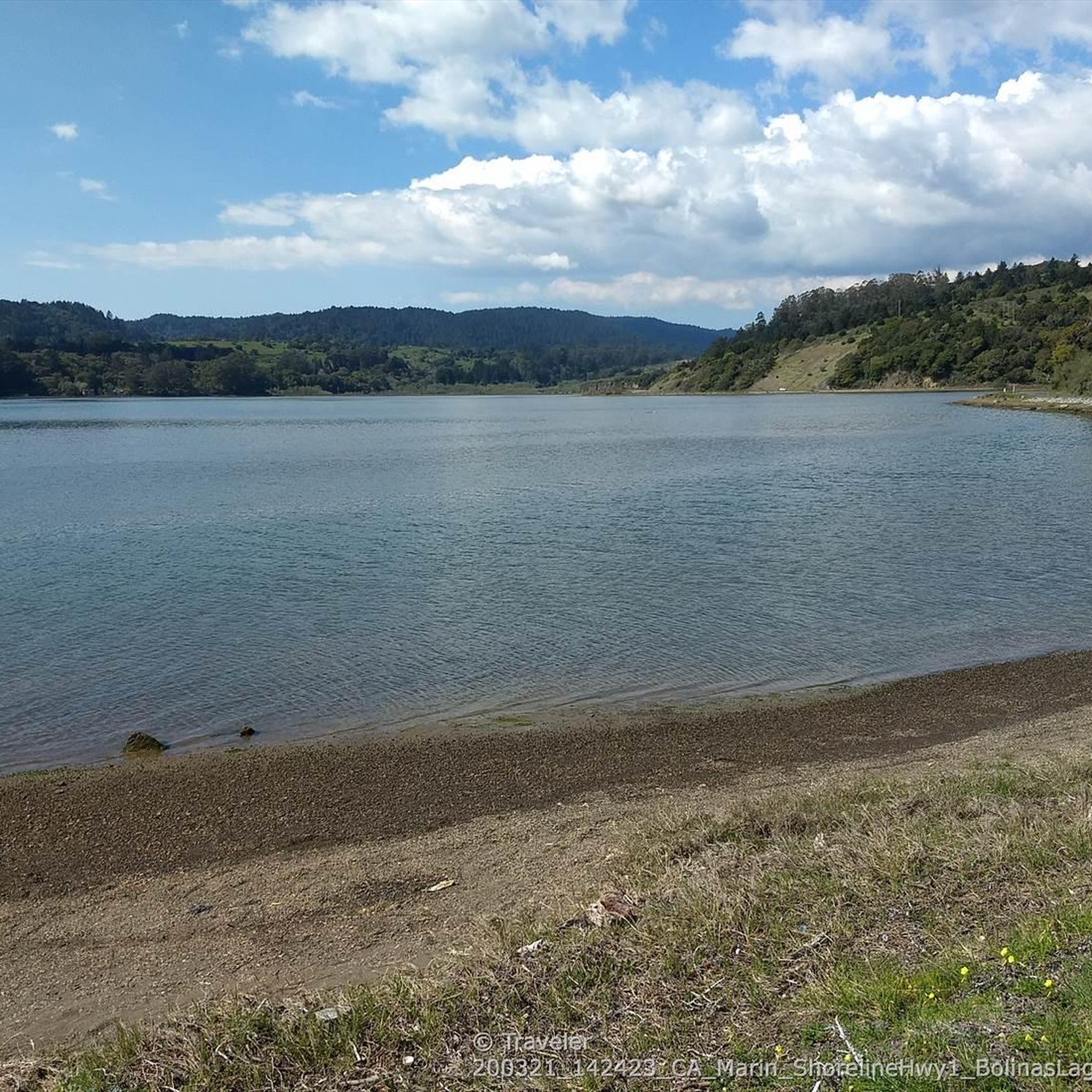
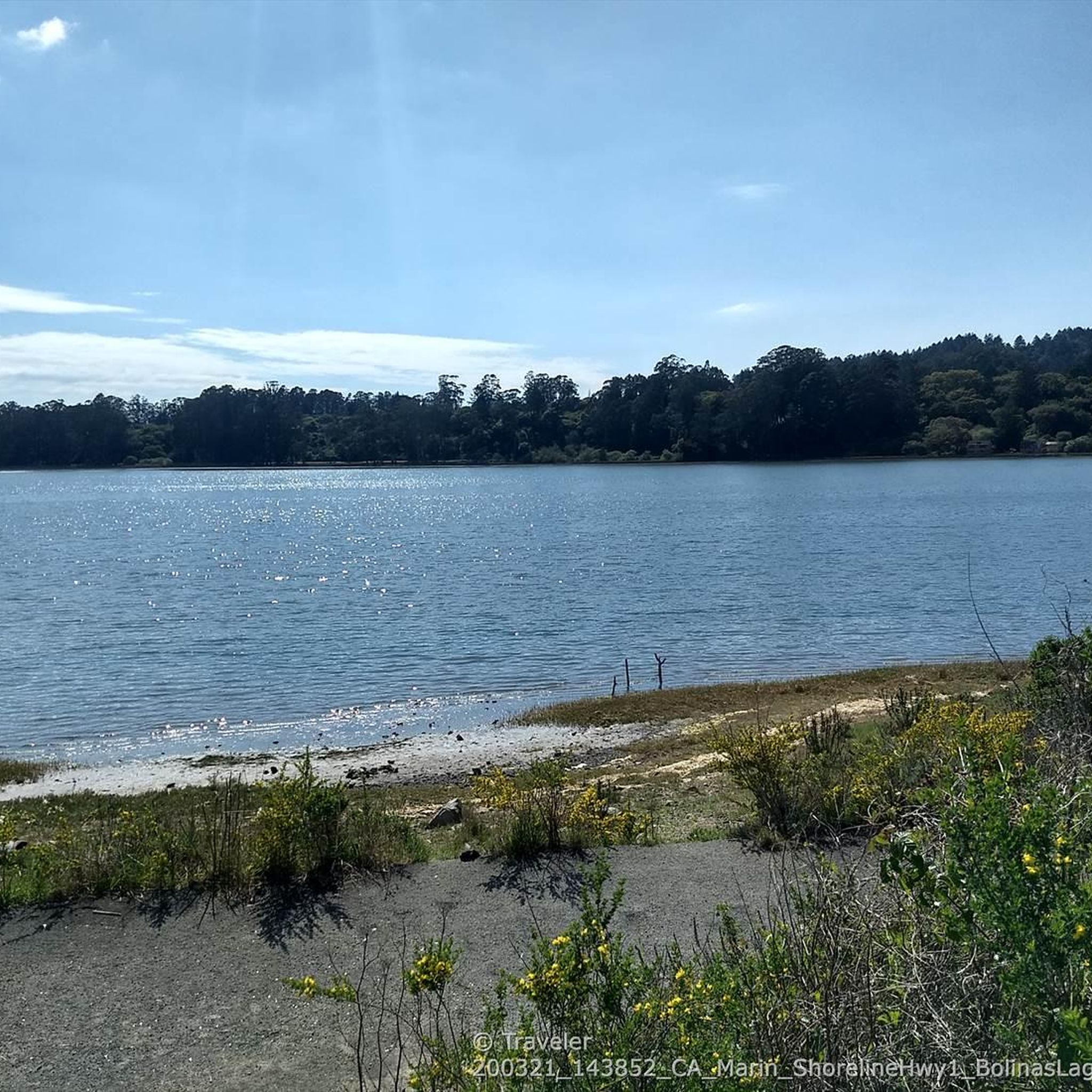
Hikes around Bolinas navigate the varied landscapes of West Marin County, situated between the Point Reyes National Seashore and the hills of Mount Tamalpais. The area's terrain is defined by its dramatic Pacific coastline, rolling rangelands, and groves of redwood trees. Trails frequently offer expansive ocean views and access to features like the Bolinas Lagoon, a tidal estuary.
Best hiking trails around Bolinas
- The most popular hiking route is Alamere Falls via Coast Trail — Point Reyes National Seashore, a 8.1 mile (13.0 km) trail that takes around 3 hours 55 minutes to complete. This route follows the coastline within the Point Reyes National Seashore to a tidefall on the beach.
- Another top favourite among local hiking enthusiasts is Ridge Trail to Coast Trail loop — Point Reyes National Seashore, a difficult 12.4 mile (19.9 km) path. The trail combines high ridges with panoramic views and sections that descend closer to the ocean.
- Local hiking enthusiasts also love the Bob Stewart Trail loop — Bolinas Lagoon Preserve, a 0.7 mile (1.1 km) trail leading through the Bolinas Lagoon Preserve, often completed in about 15 minutes.
- Hiking around Bolinas is defined by coastal paths, redwood groves, and chaparral-covered hills. The trail network provides options for various ability levels, from short, flat walks to more challenging coastal hikes.
- The routes in Bolinas are highly rated by the komoot community with an average score of 4.8 stars from over 150 reviews. More than 2,600 hikers have used komoot to explore Bolinas's varied terrain.
Last updated: October 11, 2026
52
hikers
9.12km
02:41
240m
300m
You can hike to Alamere Falls via the Coast Trail from Palomarin Trailhead, a moderate route covering 5.7 miles (9.1 km) with an elevation gain of 787 feet (240 metres). This journey typically takes about 2 hours and 41 minutes to complete. As you hike, you will experience diverse scenery, transitioning from open coastal scrub with continuous ocean views to shaded eucalyptus groves. The trail also leads you past scenic lakes such as Bass Lake and Pelican Lake, offering peaceful spots along the way. Your destination is Alamere Falls, a unique waterfall that cascades directly onto Wildcat Beach, providing a memorable coastal experience.
When planning your visit, be aware that the final 1.2 miles of Mesa Road to the Palomarin Trailhead is unpaved and often has potholes, so drive with care. Parking can be challenging, especially on weekends, so arriving early is highly recommended to secure a spot. It is also crucial to check tide charts before you go; high tide can make reaching the base of Alamere Falls unsafe or impossible. Consider starting your hike earlier in the day to avoid crowds and ensure you have ample time.
This trail is notable for leading to one of California's rare 'tidefalls', where fresh water plunges directly onto the beach. The route takes you through the Phillip Burton Wilderness, offering a chance to observe the natural coastal environment. On clear days, you might even catch a glimpse of the distant Farallon Islands from various points along the path. This unique combination of coastal views, serene lakes, and a dramatic waterfall makes the hike a distinctive experience in the region.
1
hikers
24.4km
07:14
770m
680m
Prepare for a challenging hike on the Coast Trail and Lake Ranch Trail Loop, a difficult route covering 15.1 miles (24.4 km) with an elevation gain of 2538 feet (773 metres). This extensive loop typically takes around 7 hours and 13 minutes to complete. You will begin with expansive ocean views from bluffs along the Coast Trail, then transition inland through diverse landscapes. Expect to pass several freshwater lakes, including Bass Lake and Pelican Lake View, before the scenery shifts dramatically to fir forests and coastal scrub on the Lake Ranch Trail.
When planning your visit, be aware that parking at the Palomarin trailhead can fill up quickly, especially on weekends, so an early start is highly recommended. This trail is not suitable for young children due to its length and demanding nature. You should also be prepared for potential hazards like stinging nettle, ticks, and poison oak, particularly in overgrown sections; wearing long pants can offer good protection.
This loop offers a rewarding experience for experienced hikers seeking varied terrain within the Phillip Burton Wilderness. The trail's environment changes from coastal bluffs to dense forests, providing a unique blend of natural beauty. Be ready for sections that can be overgrown with tall grasses and brambles, which adds to the wild, untamed feel of the route, especially during summer months.

3
hikers
15.3km
04:30
420m
420m
Embark on the Teixeira, Ridge and Olema Valley Loop, a moderate hiking route that takes you through a diverse landscape within Point Reyes National Seashore. This 9.5-mile (15.3 km) journey, with an elevation gain of 1371 feet (418 metres), offers a varied experience over approximately 4 hours and 30 minutes. You will wander through lush conifer highlands and dense forested ridges, transitioning into open grassy meadows. The Teixeira Trail section provides a shaded, almost rainforest-like atmosphere with bays and firs, while later you'll traverse the unique San Andreas Fault rift zone in the Olema Valley.
When planning your hike, be aware that the route is accessible year-round, but conditions can change with the seasons. During wet periods, you might encounter muddy sections and higher water levels at stream crossings, so prepare accordingly. It is important to note that dogs are typically not permitted on trails within Point Reyes National Seashore. Additionally, keep an eye out for poison oak, particularly when you are hiking through the Olema Valley sections of the trail.
This loop offers a unique opportunity to explore a rich tapestry of ecosystems within Point Reyes National Seashore. You will experience the distinct geology of the San Andreas Fault rift zone as you pass through the Olema Valley. The trail's varied terrain, from dense forests to open meadows, showcases the natural diversity of this coastal region. It provides a substantial outing for hikers seeking a comprehensive experience of the area's natural beauty.
5.0
(1)
3
hikers
13.5km
04:03
430m
430m
Embark on the Randall, Bolinas Ridge, McCurdy, Olema Valley Trail for a moderate hiking adventure that spans 8.4 miles (13.5 km). You will gain 1401 feet (427 metres) in elevation over approximately 4 hours and 2 minutes. The route guides you through a dynamic landscape, transitioning from dense Douglas fir and coast redwood forests to open grasslands, offering sweeping vistas, including panoramic views of Tomales Bay from the Bolinas Ridge Trail.
When planning your visit, you can find parking for the Randall Trailhead on unpaved shoulders along Highway 1, or at the Olema Valley Trail parking area across the road. Be aware that leashed pets are not permitted on the full Randall–Bolinas Ridge–McCurdy–Olema Valley loop or on the Olema Valley Trail itself. Also, prepare for the McCurdy Trail section, which is known to be very steep, overgrown, and arduous in parts.
This trail is nestled within the stunning Point Reyes National Seashore, providing a rich natural environment to explore. The diverse ecosystems you encounter, from fragrant chaparral to towering redwoods, make it a notable route for experiencing the varied beauty of the region. Keep an eye out for the McCurdy Trail Junction on Bolinas Ridge, where the scenery distinctly shifts from open ridges into more forested areas.
4.32km
01:24
300m
20m
Hike the easy 2.7-mile Palomarin Ridge Trail for ocean views, eucalyptus groves, and lakes in Point Reyes National Seashore.
Get access to more routes and recommendations from other explorers.
Already have an account?
Our route recommendations are based on thousands of hikes, rides, and runs completed by other people on komoot.
Start today with a free account
Your next adventure awaits.
Tips from the Community

McCurdy Trail drops directly from Bolinas Ridge straight down 1.8 miles to Woodville on Shoreline Highway in the West
0
0

This is a beautiful trail that takes you right up to the cliff side and you can peer down to the water below.
0
0


The cliffs here are simply amazing.
0
1

Both directions are cool 😎
0
0
Frequently Asked Questions
Are dogs allowed on the trails around Bolinas?
Dog policies vary by park. Dogs are generally permitted on leash on the Bolinas Ridge Trail. However, they are not allowed on most trails within the Point Reyes National Seashore, including the popular coastal trails starting from the Palomarin Trailhead. The Bolinas Lagoon Preserve also has restrictions to protect wildlife. Always check the specific regulations for the trail you plan to hike.
Where can I find a hike to a waterfall?
The most famous waterfall hike is to Alamere Falls, a rare 'tidefall' that flows directly onto the beach. You can reach it via the Alamere Falls via Coast Trail. This is a popular and rewarding coastal trek. For a different experience, the Cataract Falls trail offers a series of smaller, scenic waterfalls in a lush forest setting, especially after rainfall.
Are there any easy, family-friendly hikes in the area?
Yes, the Bob Stewart Trail loop is an excellent choice for families. It's a short, flat walk of about 0.7 miles (1.1 km) through the Bolinas Lagoon Preserve, which is perfect for birdwatching and enjoying a peaceful stroll.
What's a good trail for a beginner hiker?
For a gentle introduction to the area's coastal beauty, the hike to Bass Lake via the Coast Trail is a great option. It's a moderately-rated out-and-back trail that gives you a fantastic taste of the Point Reyes coastline without the longer distance required to reach Alamere Falls.
Where should I park for hikes starting in Bolinas?
Parking can be challenging, especially on weekends. The Palomarin Trailhead is the main access point for the popular coastal trails in Point Reyes National Seashore, but its lot fills up very quickly. For the Bolinas Ridge Trail, there are several pullouts and small parking areas along the Fairfax-Bolinas Road and Sir Francis Drake Boulevard. Arriving early is highly recommended for any trailhead in the area.
Which hike offers the best ocean views?
For expansive, panoramic views of the Pacific Ocean, Olema Valley, and Tomales Bay, the Bolinas Ridge Trail is unparalleled. The trail follows the high ground, offering sweeping vistas. The Ridge Trail to Coast Trail loop combines these high-elevation views with sections closer to the water for a varied experience.
Can I see redwood trees on a hike near Bolinas?
Yes, you can find groves of towering redwoods in the region. While many trails focus on coastal scrub and grasslands, some routes on the slopes of Mount Tamalpais and along the Bolinas Ridge dip into redwood-filled canyons, offering a cool, shaded contrast to the exposed coastal paths.
How many hiking trails are there around Bolinas?
There are nearly 100 curated hiking routes around Bolinas available on komoot, ranging from easy strolls to difficult all-day treks. This network covers the diverse landscapes from the Point Reyes National Seashore to the hills of Mount Tamalpais.
What do other hikers enjoy most about the trails in Bolinas?
The area is highly regarded by the komoot community, with an average rating of 4.8 stars. Hikers frequently praise the stunning coastal scenery, the variety of trails, and the dramatic views. The trek to the unique tidefall at Alamere Falls is a particular favorite that is often mentioned.
What should I pack for a hike in Bolinas?
The weather on the coast can change rapidly. It's essential to pack layers, including a windbreaker or rain jacket, even on a sunny day. Bring plenty of water and snacks, as services are limited. Sturdy hiking shoes are a must, as trails can be rocky and uneven. Also, be prepared for strong sun exposure on the exposed coastal and ridge trails.
Most popular routes around Bolinas
Most popular attractions around Bolinas

Get inspired with the komoot mobile app


Explore more
Browse the best Hikes in other regions.
