The best walks and hikes around Großer Döhrener Teich
4.5
(7571)
44,923
hikers
1,850
hikes
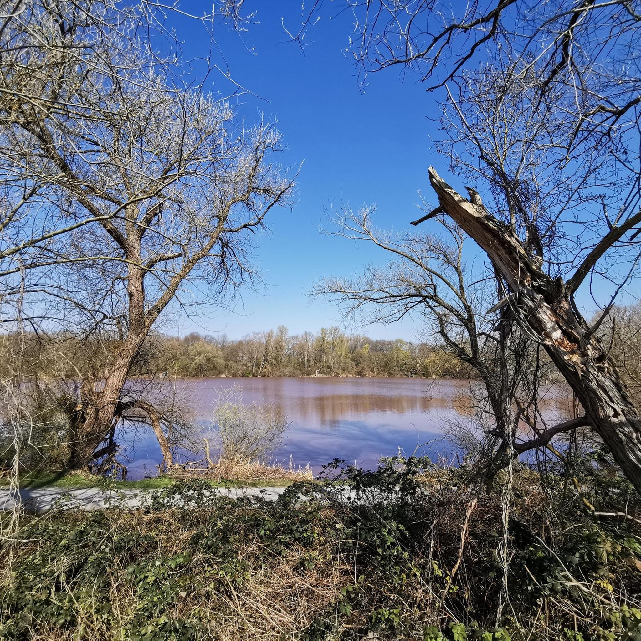
Hiking around Großer Döhrener Teich offers diverse landscapes within an urban setting. This gravel pit lake features banks densely covered in trees and shrubs, along with several small islands. The area is part of the larger Ricklinger Kiesteiche, an extensive floodplain landscape within the Leine River's overflow area, characterized by remnants of floodplain forests and oxbow lakes. The surrounding Leineaue includes agricultural grasslands and riparian woody plants, providing varied terrain for exploration.
Best hiking trails around Großer Döhrener Teich
- The…
Last updated: July 9, 2026
4.8
(5)
26
hikers
13.7km
03:29
30m
30m
Moderate hike. Good fitness required. Easily-accessible paths. Suitable for all skill levels.
4.7
(101)
348
hikers
10.5km
02:39
20m
20m
Moderate hike. Good fitness required. Easily-accessible paths. Suitable for all skill levels.

Sign up for free
4.3
(3)
185
hikers
3.70km
00:56
10m
10m
Easy hike. Great for any fitness level. Easily-accessible paths. Suitable for all skill levels.
4.6
(19)
70
hikers
4.18km
01:03
10m
10m
Easy hike. Great for any fitness level. Easily-accessible paths. Suitable for all skill levels.
4.4
(10)
38
hikers
8.39km
02:09
30m
30m
Moderate hike. Good fitness required. Easily-accessible paths. Suitable for all skill levels.
Get access to more routes and recommendations from other explorers.
Sign up for free
Already have an account?
Our route recommendations are based on thousands of hikes, rides, and runs completed by other people on komoot.
Start today with a free account
Your next adventure awaits.
Login or Signup
Tips from the Community

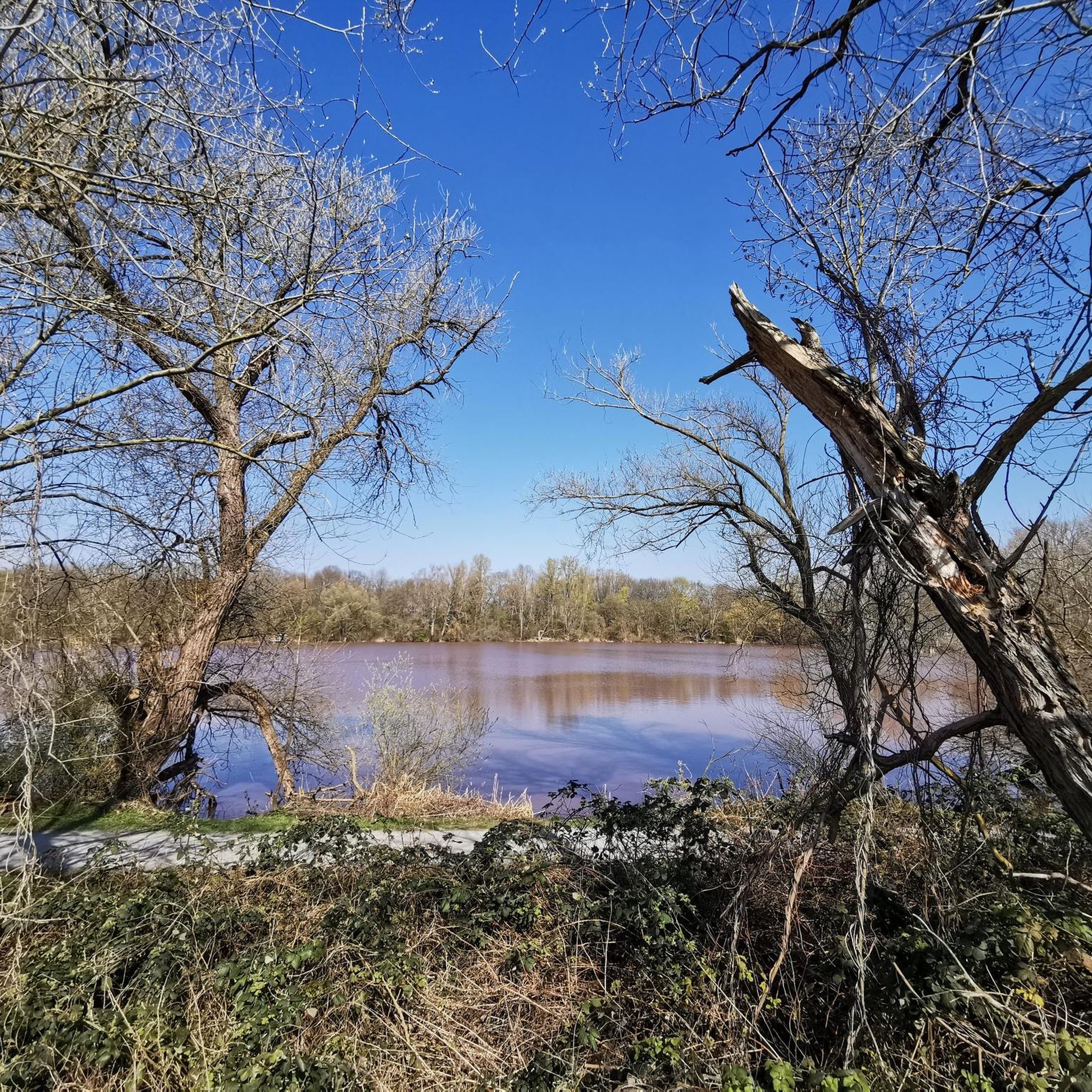
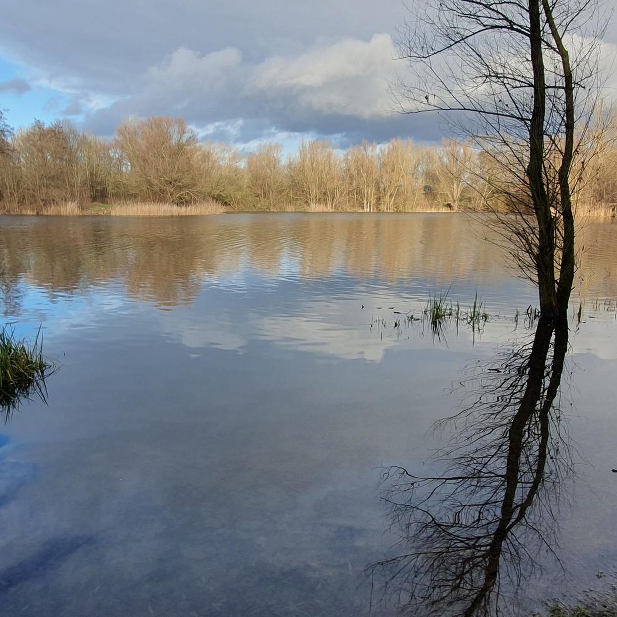
The large Hemminger Teich is a gravel pit lake. It is 9 hectares in size.
0
0

It is always a very good landmark on the route, next to the NDR building.
1
0

Pier 51 is a modern restaurant directly on the Maschsee with a stylish ambience and lake views – ideal for fine dining and events.
11
0
Yachtclub Hannover offers an exclusive location on the western shore of the lake for celebrations and weddings, combined with sailing tradition.
12
0
The weir was used for energy generation and has been rebuilt several times. The associated turbine system generated electricity for the factory and is now part of a former power plant that is used as a bridge.
11
0

The area is primarily characterized by the Leine River, flanked by near-natural willow gallery forests and tall herbaceous meadows, as well as its partially near-natural and richly structured adjacent floodplains. In the north, there are extensive areas of agriculturally used grassland with varying levels of moisture and intensity of use. Smaller areas include scattered arable land, forest and shrub stands with varying soil moisture levels, and natural flood channels. The woody course of the meandering and heavily silted Old Leine River, with occurrences of, among others, the silt locust, is also characteristic. The southern part of the nature reserve, in contrast, is largely characterized by former marl and gravel mining waters. Riparian woody plants and small shrubs with varying levels of moisture and succession stages have developed along the banks. Agriculturally used grassland and arable land are only present in small areas here. Many landscape elements, such as oxbow lakes, remnants of floodplain forests, or even open gravel areas and steep cliffs, which occasionally form due to flooding, are valuable remnants of the former floodplain dynamics, which continue to naturally develop new habitats in the floodplain between the terrace edges on both sides of the lower terrace. The Leine River is of national importance as a supra-regional fish migration route and as a spawning and nursery water for migratory fish. Species such as brown trout, sea trout, and Atlantic salmon find habitat here. Otters and beavers also occur here. The area is also of great importance for bats, such as the greater mouse-eared bat and the pond bat. Also worth emphasizing is the national and state importance of the nature reserve as a resting area for numerous migratory bird species and as a breeding ground for various water and meadow bird species. These include, for example, the great egret, white-fronted goose, great crested grebe, gadwall, tufted duck, goldeneye, and smew. In addition to its significant importance for species and habitat conservation, the nature reserve also plays a significant role in providing environmentally friendly, peaceful recreational opportunities due to its proximity to the city, its unique diversity, uniqueness, and beauty. Source: NLWKN
0
0


Frequently Asked Questions
How many hiking trails are available around Großer Döhrener Teich?
There are over 1,800 hiking routes available in the Großer Döhrener Teich area, catering to various preferences and fitness levels. This includes a wide selection of easy strolls and more moderate hikes.
What kind of terrain can I expect on the hiking trails?
The terrain around Großer Döhrener Teich is diverse, characterized by gravel pit lakes, remnants of floodplain forests, and densely wooded banks. You'll find paths through agricultural grasslands, riparian woody plants, and small shrubs, offering a varied natural experience.
Are there any easy hiking trails suitable for beginners or casual walkers?
Yes, the area offers many easy trails. For instance, the Pair of figures at the Maschsee – Lion Bastion loop from Engesohde City Cemetery is an easy 3.7 km (2.3 miles) route, perfect for a relaxed walk. Another great option is the Great Hemminger Pond – Sieben-Meter-Teich loop from Hemmingen, which is 4.3 km (2.7 miles) and also rated easy.
What natural features or wildlife can I observe while hiking?
Großer Döhrener Teich and its surroundings are ecologically significant. You can observe diverse flora and fauna, including numerous migratory bird species like the great egret and great crested grebe. The area is also home to otters, beavers, and various bat species, making it a great spot for nature observation.
Are there any circular hiking routes available?
Yes, many routes in the area are circular. A popular choice is the Arnumer Ponds – St. Vitus Church Wilkenburg loop from Hemmingen, which is a moderate 13.8 km (8.6 miles) trail featuring ponds and historical landmarks. Another option is the Einsiedler Bridge – Alte Leine Nature Reserve loop from Hemmingen, a 10.4 km (6.5 miles) loop through a nature reserve.
Is Großer Döhrener Teich suitable for family-friendly hikes?
Absolutely. The region offers many trails suitable for families, especially the numerous easy routes. The varied landscape with lakes and wooded areas provides an engaging environment for children to explore nature. Consider shorter, easy loops for younger family members.
Can I bring my dog on the hiking trails?
Yes, many trails around Großer Döhrener Teich are dog-friendly. However, as parts of the area are nature reserves and some banks are privately owned, it's always recommended to keep dogs on a leash, especially to protect local wildlife and respect private property. Please check local signage for specific regulations.
What do other hikers enjoy most about the trails around Großer Döhrener Teich?
The area is highly rated by the komoot community, with an average score of 4.6 stars from over 7,000 reviews. Hikers often praise the diverse landscapes, the peaceful escape into nature despite the urban setting, and the accessibility of the trails. The combination of lakes, forests, and wildlife observation opportunities is frequently highlighted.
Are there any specific viewpoints or landmarks to look out for?
While hiking, you'll encounter picturesque views of Großer Döhrener Teich with its small islands and densely wooded banks. The wider Ricklinger Kiesteiche area, including remnants of floodplain forests and oxbow lakes, offers scenic natural vistas. Routes like the Arnumer Ponds – St. Vitus Church Wilkenburg loop from Hemmingen also feature historical landmarks.
How accessible is Großer Döhrener Teich by public transport?
Großer Döhrener Teich is well-integrated into the urban area of Hanover, making it quite accessible by public transport. Specific bus or tram stops will vary depending on your starting point and desired entry to the trail network, but generally, you can reach the vicinity of the lake and surrounding areas easily from Hanover city center.
Is there parking available for hikers?
Yes, parking is generally available in the vicinity of Großer Döhrener Teich and the wider Ricklinger Kiesteiche area. As it's close to an urban setting, there are designated parking spots, though availability might vary, especially on busy weekends. It's advisable to check specific starting points for parking options.
What is the best time of year to go hiking in this region?
The Großer Döhrener Teich area is enjoyable year-round. Spring brings blooming flora and active birdlife, while summer offers lush greenery. Autumn showcases beautiful fall colors, and even winter can be picturesque with frosty landscapes, though some paths might be muddy. The best time depends on your preference for weather and scenery.
Most popular routes around Großer Döhrener Teich

Get inspired with the komoot mobile app


Explore more
Browse the best Hikes in other regions.
