The best MTB trails around Bayview
4.5
(53)
235
riders
9
rides
Mountain biking around Bayview offers a diverse network of routes primarily situated near the San Francisco Bay. The terrain features a mix of wooded paths, open ridges, and coastal trails, often providing glimpses of the bay. Riders can expect varied elevation profiles, from mostly flat sections to gradual climbs leading to scenic viewpoints. The region is characterized by bay laurel groves and stands of second-growth redwoods, contributing to a natural riding experience.
Best mountain bike trails around Bayview
- The most…
Last updated: October 11, 2026
5.0
(1)
12
riders
16.9km
01:28
220m
220m
The Wildcat Creek Trail Loop offers a delightful mountain biking experience through Wildcat Canyon Regional Park, winding past open grasslands and shady oak woodlands. You'll follow the riparian corridor of…
3.0
(1)
6
riders
7.27km
00:30
40m
40m
The San Francisco Bay Trail: Point Pinole Loop offers a delightful mountain biking experience, guiding you through diverse landscapes from open grasslands to serene eucalyptus groves. You'll enjoy continuous, inspiring…

1
riders
11.0km
01:09
300m
300m
The Mezue, San Pablo Ridge, and Belgum Trail Loop offers a dynamic mountain biking experience with a mix of surfaces and stunning Bay Area vistas. You'll navigate everything from paved…
9.22km
01:02
280m
280m
The San Pablo Ridge and Belgum Trail Loop delivers a surprisingly diverse mountain biking experience within Wildcat Canyon Regional Park. You'll navigate a mix of fire roads, gravel, and dirt…
7.28km
00:50
280m
280m
The Sobrante Ridge and Morningside Trail Loop offers a dynamic mountain biking experience, guiding you through diverse terrain from open grasslands to shaded wooded canyons. You'll encounter unique groves of…
Get access to more routes and recommendations from other explorers.
Already have an account?
Our route recommendations are based on thousands of hikes, rides, and runs completed by other people on komoot.
Start today with a free account
Your next adventure awaits.
Tips from the Community

Wildcat Creek Trail is a packed-dirt trail that is about four miles long. One end of the trail is at Jewel Lake, near the Environmental Education Center, and the other end of the trail is at the Alvarado Staging Area. This trail offers great views of Wildcat Creek and has some picnic tables you could stop at along the side of the trail.
0
0

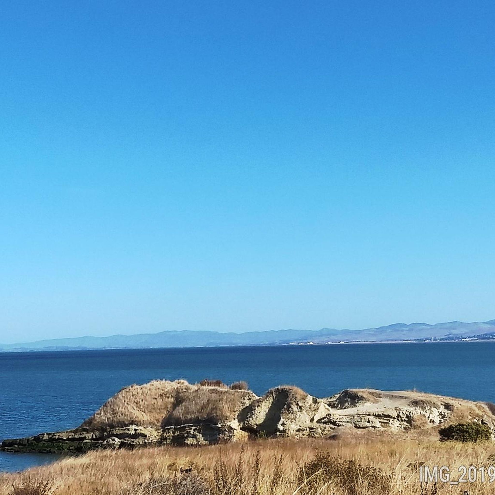
This spot offers spectacular views in every direction. Although there is no shade, it's a perfect spot to take a break, hydrate yourself, and capture breathtaking photos.
0
0
This trail begins along a paved fire road before it becomes a smooth, wide dirt road ascending slightly uphill with several singletrack options that branch off to the right along the way. It is a popular route for hikers and runners with plenty of room to pass, making it an excellent location for anyone learning to mountain bike. With no rugged terrain or technical obstacles to navigate, you can enjoy a scenic ride through the picturesque hills without distractions.
0
0
Wildcat Canyon Regional Park is a beautiful 2,428-acre park that offers scenic trails and boasts stunning views of the surrounding areas. It is an optimal location for mountain bikers due to its rocky terrain and a popular destination for joggers, dog walkers, hikers, and equestrians looking for a peaceful retreat from the city. Most trails are wide fire roads, meandering through woodlands and open meadows. From the hilltops, you'll enjoy breathtaking views of the San Francisco Bay Area and stunning vistas to the east. As you explore the park, you may even see cows grazing on the hillsides, adding to the peaceful ambiance.
0
0

Camp Alvarado is part of the Wildcat Canyon Regional Park and hosts a huge area for picnicking and grilling with multiple tables and benches.
0
0
With a size of 2,428 acres, the Wildcat Canyon Regional Park offers a diverse natural experience. It features scenic trails, leading through woodlands and open meadows. It's a great location to go hiking, picnicking, or birdwatching.
0
0
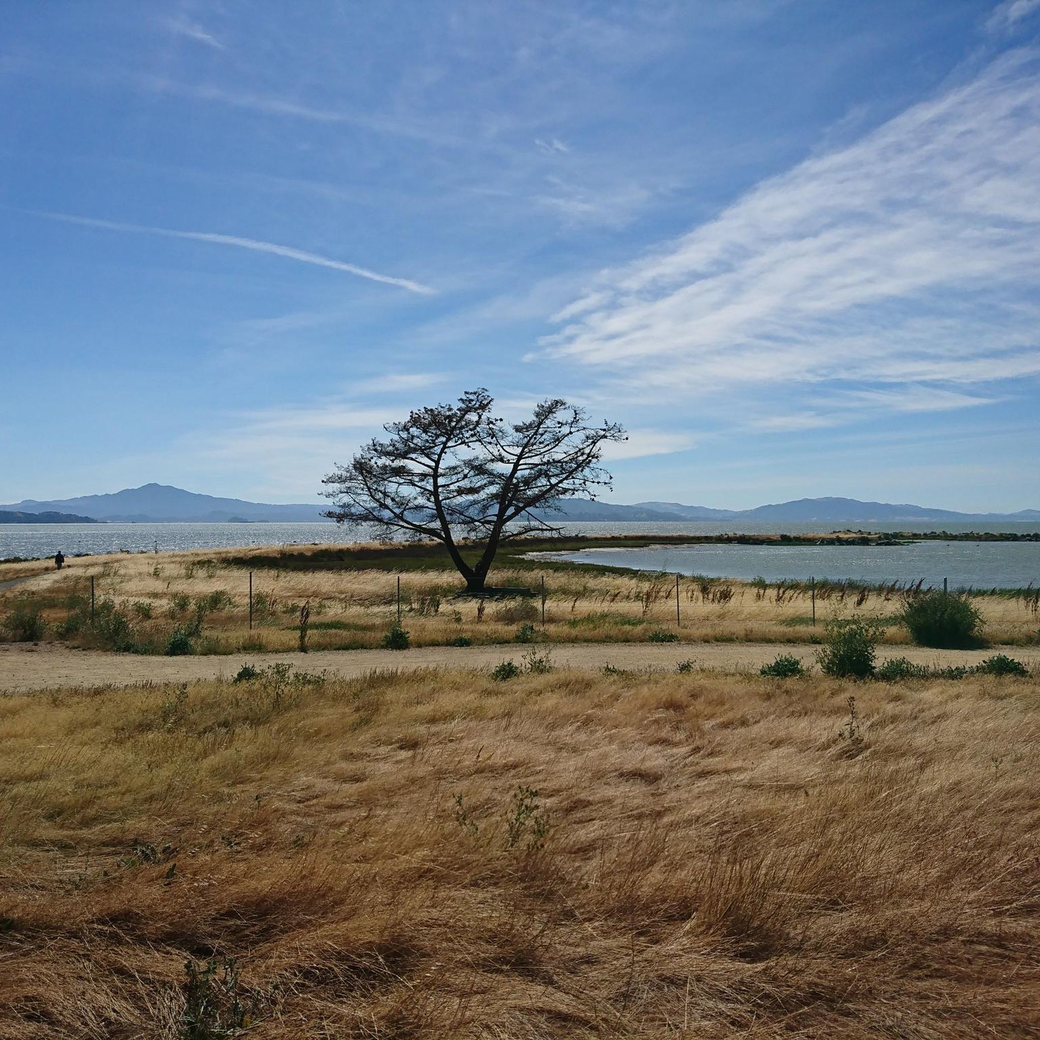
Sobrante Ridge Trail is a popular path open to cyclists, equestrians, and hikers. It climbs through grassland and Manzanita trees with excellent vista views in different directions. The southwestern end of the trail is designated for hiking only, so please follow the guidelines and regulations to ensure everyone's safety and enjoyment.
0
0
This trail is a great option for those looking to access Sobrante Ridge from the north and connect to the upper section of the Downer Trail. The trail starts off as a fire road in Sobrante Ridge Park and then transitions to singletrack along a steep ridgeline as you head north towards the Downer Trail connection. Along the way, you'll be treated to stunning views of San Pablo Bay and the surrounding landscape.
0
0
Frequently Asked Questions
What kind of terrain can I expect on mountain bike trails around Bayview?
The terrain around Bayview offers a diverse mix, primarily featuring wooded paths, open ridges, and coastal trails. You'll often get glimpses of the San Francisco Bay. The region is known for its bay laurel groves and stands of second-growth redwoods, providing a natural riding experience. Elevation profiles vary, from mostly flat sections to gradual climbs leading to scenic viewpoints.
Are there mountain bike trails suitable for beginners in Bayview?
Yes, Bayview offers several easy mountain bike trails perfect for beginners. For instance, the San Francisco Bay Trail: Point Pinole Loop is an easy route covering about 4.5 miles with minimal elevation gain, making it a great option to start. Another easy choice is the Wildcat Creek Trail Loop, which is 10.5 miles long and features rolling terrain through open spaces and wooded areas.
What are some of the longer mountain bike routes in Bayview?
If you're looking for a longer ride, the Wildcat Creek Trail Loop spans approximately 10.5 miles (16.9 km) and typically takes around 1 hour 28 minutes to complete. This route offers rolling terrain through open spaces and wooded areas.
Are there any loop trails for mountain biking in Bayview?
Yes, many of the mountain bike trails in Bayview are designed as loops. Popular options include the Mezue, San Pablo Ridge, and Belgum Trail Loop, which is an easy 6.8-mile path offering views from the ridge, and the San Pablo Ridge and Belgum Trail Loop, a 5.7-mile trail through ridge lines and wooded sections.
What do other mountain bikers say about the trails in Bayview?
The mountain bike trails around Bayview are highly regarded by the komoot community, holding an average rating of 4.6 stars from over 40 reviews. Riders frequently praise the diverse terrain, from coastal paths to wooded trails, and the scenic ridge climbs that offer beautiful bay views.
Are there any viewpoints or natural features to look out for on the trails?
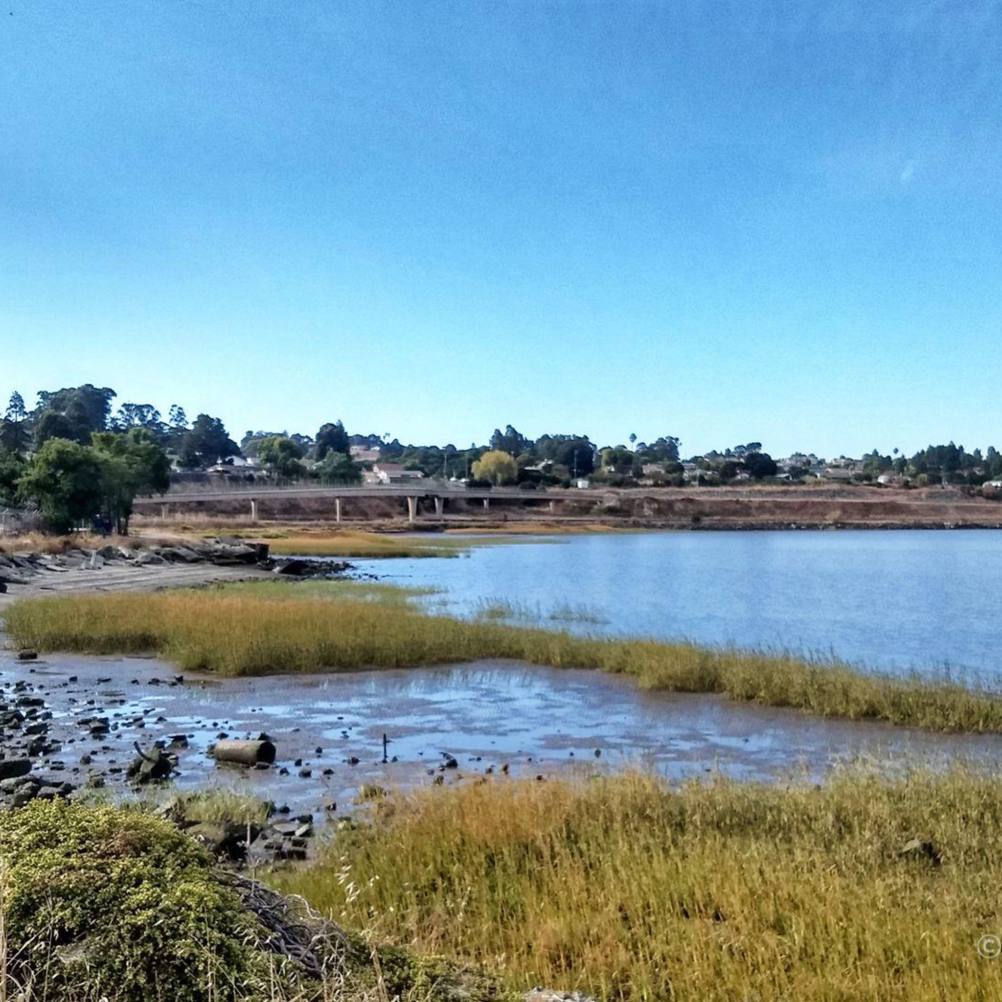
Yes, the trails often provide glimpses of the San Pablo Bay, especially from higher elevations. You'll ride through shaded bay laurel groves and stands of second-growth redwoods. Near the end of some trails, you might catch a pleasant view of the Richmond Bridge. For specific natural highlights, consider visiting the Dotson Family Marsh or Refugio Lake.
What are some notable landmarks or attractions near the mountain bike routes?
Beyond the trails themselves, you can explore several interesting spots. The Point Pinole Pier offers scenic views, and the Ohlone Greenway is a popular cycle path. For nature enthusiasts, the Soaring Eagle Trail and areas known for the Northern Harrier bird are worth exploring.
Are there any more challenging mountain bike routes in Bayview?
While many routes are easy to moderate, there are options for those seeking more challenge. The region offers routes with varied elevation profiles, including gradual climbs to scenic viewpoints. For example, the Sobrante Ridge and Morningside Trail Loop, though rated easy, includes a significant climb of over 920 feet (281 meters) over its 4.5-mile distance, providing a good workout.
What is the best time of year to go mountain biking in Bayview?
The Bayview area, particularly the California locations, generally offers pleasant riding conditions for much of the year. Spring and fall often provide mild temperatures and clear skies, ideal for exploring. Even during winter, many trails remain accessible, though conditions can vary, especially after rain. Summer can be warm, so early morning rides are often preferred.
Are there facilities like picnic areas near the trails?
Yes, you can find facilities near some of the trails. For instance, the Eagle's Nest Picnic Area is a convenient spot to take a break and enjoy the surroundings. Additionally, the Rodeo Marina ⛵ Lone Tree Point Park entrance 🌳 offers facilities and access to the bay.
How many mountain bike trails are available in Bayview?
There are 10 mountain bike trails available around Bayview on komoot, offering a range of experiences from easy coastal rides to more challenging climbs through wooded areas.
Most popular routes around Bayview
Most popular attractions around Bayview

Get inspired with the komoot mobile app


Explore more
Browse the best MTB trails in other regions.
