The best mountain hikes around Vienenburger Lake
4.0
(5)
15
hikers
3
hikes
Mountaineering routes around Vienenburger Lake are primarily characterized by challenging treks and mountain hikes within the northern foothills of the Harz Mountains. The region features the densely wooded Harly Forest, a hill range reaching up to 840 feet (256 meters), offering significant elevation gains. While Vienenburger Lake itself provides recreational opportunities, the surrounding area serves as a gateway to the broader Harz Mountains, known for more traditional mountain hiking experiences. These routes often require good fitness and sure-footedness, traversing varied…
Last updated: October 13, 2026
5.0
(2)
3
hikers
Hard mountaineering route. Very good fitness required. Mostly accessible paths. Sure-footedness required.
5.0
(1)
3
hikers
Hard mountaineering route. Very good fitness required. Mostly accessible paths. Sure-footedness required.

5.0
(1)
2
hikers
14.4km
04:20
400m
400m
Moderate mountaineering route. Good fitness required. Mostly accessible paths. Sure-footedness required.
2
hikers
17.2km
05:21
570m
570m
Hard mountaineering route. Very good fitness required. Mostly accessible paths. Sure-footedness required.
4
hikers
Moderate mountaineering route. Great for any fitness level. Mostly accessible paths. Sure-footedness required.
Our route recommendations are based on thousands of hikes, rides, and runs completed by other people on komoot.
Start today with a free account
Your next adventure awaits.
Tips from the Community

Attention: there are Hyalomma ticks in this area! Please check yourselves after your hike! We were in the Feigenbaumklippe/Mausefalle/Hexenküche/Kästeklippe area in October 2026 with two adults and two dogs and had a total of 7 Hyalomma ticks afterwards. If you find any, please do not throw them back into the grass so the next person doesn't pick them up, but kill them. A female lays up to 15,000 eggs after a successful blood meal! https://parasitenportal.de/parasiten/zecken/hyalomma-zecke/
0
0


A very quaint place to stop for refreshments, and the pea stew was delicious! 😋 The view of the Brocken mountain is fantastic.
7
0
The shelter at the Uhlenklippe offers a place to rest.
7
0

The Harz Cross of the German East (⊙) was inaugurated on June 24, 1950 in the presence of Ernst Reuter, northeast of and slightly below the summit of the Uhlenköpfe (555.4 m above sea level) on the Uhlenklippe, about 2 km southeast of Bad Harzburg (Goslar district, Lower Saxony). The 20.5-meter-high wooden cross, which had become dilapidated by then, collapsed in a hurricane on March 4, 1998. On September 30, 2000, a new steel cross, 17.7 m high and 6.3 m wide, partially clad in wood, was inaugurated. The construction costs amounted to 180,000 DM. The cross is included as No. 122 in the system of stamp stations of the Harz hiking badge; the stamp box hangs on a shelter near the cross. Source: Wikipedia
15
2

Impressive terrain for running. Lots of small hidden trails to the left and right of the main hiking trail.
0
0
Beautiful pond with seating not far from the Molkenhaus.
12
0

Stamp point HWN 121 below the restaurant
9
0
Frequently Asked Questions
What kind of mountaineering routes can I expect around Vienenburger Lake?
The region primarily offers challenging treks and mountain hikes within the northern foothills of the Harz Mountains. You'll find routes with significant elevation gains, especially in the densely wooded Harly Forest, requiring good fitness and sure-footedness. While traditional technical rock climbing is not a feature, the area provides a gateway to more extensive mountain hiking experiences in the broader Harz Mountains.
Are there routes suitable for beginners or those looking for an easier experience?
Yes, while many routes are challenging, there are options for varying ability levels. For example, the View of the Harz Mountains – Observation tower in the Harz loop from Bad Harzburg is a moderate route, covering about 5.6 km with a duration of around 1 hour 45 minutes. It offers a less strenuous way to enjoy the scenery.
What are some of the more challenging mountaineering routes in the area?
For those seeking a challenge, the Lynx enclosure at the Rabenklippe – Wooden Swing at Molkenhaus loop from Bad Harzburg is a difficult 20.3 km trail with over 600 meters of elevation gain, typically taking over 6 hours. Another demanding option is the Großer Treppenstein – Kästeklippe loop from Bad Harzburg, a 17.2 km difficult route with significant ascents.
Are there any circular routes available for mountaineering?
Yes, many of the mountaineering routes around Vienenburger Lake are designed as circular paths. For instance, the Raven Crag – Lynx enclosure at the Rabenklippe loop from Bad Harzburg is a moderate 14.2 km circular route that offers a varied journey through the Harz landscape.
What interesting landmarks or natural features can I see along the routes?
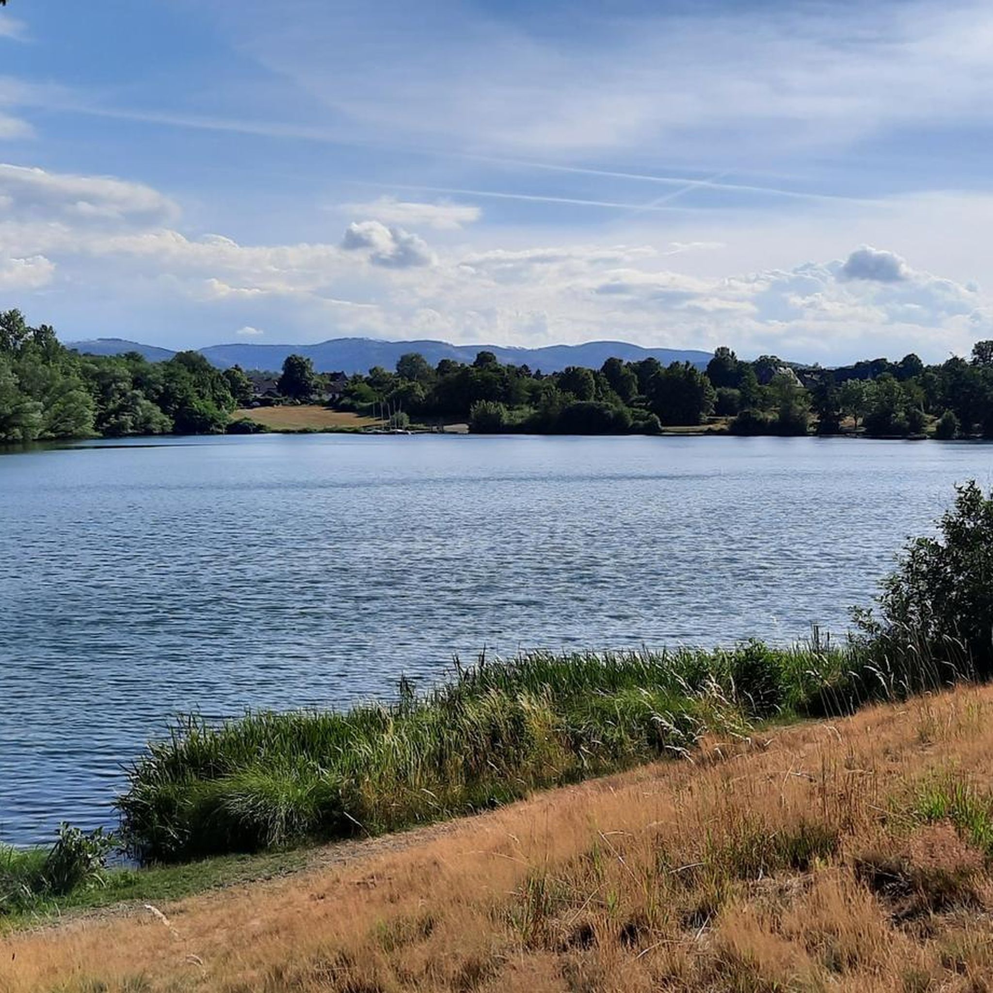
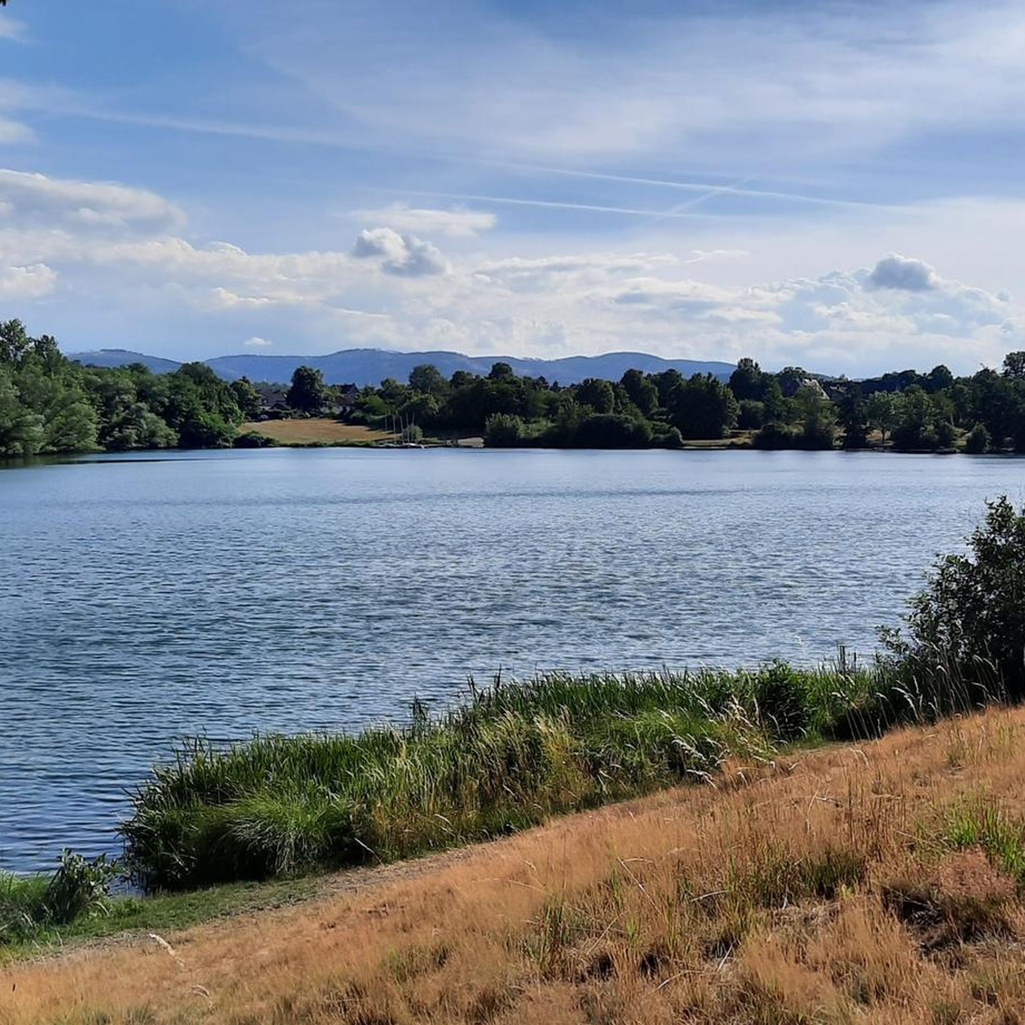
The region is rich in natural beauty and historical sites. You might encounter the Vienenburg Lake – Hurlebach Inlet, or the Lakeside Rest Spot at Okersee. The Harly Forest itself is a significant natural feature, and the Harly Tower on Harlyberg offers panoramic views. The historic Wöltingerode Abbey Estate is also nearby and can be incorporated into longer tours.
Is the Vienenburger Lake area suitable for family-friendly hikes?
While many mountaineering routes are challenging, the Vienenburger Lake area also offers more leisurely options. The lake itself is a central recreational area with paths suitable for strolls. For families, the Adventure Playground at Vienenburger See provides a fun stop, and shorter, less strenuous paths can be found around the lake.
Can I bring my dog on the mountaineering routes?
Generally, dogs are welcome on hiking trails in the Harz region, including those around Vienenburger Lake. However, it's always advisable to keep your dog on a leash, especially in nature reserves or near wildlife. Be sure to check specific trail regulations or local signage for any restrictions.
What is the best time of year to go mountaineering around Vienenburger Lake?
The spring, summer, and autumn months generally offer the best conditions for mountaineering. Spring brings blooming nature, summer provides warmer weather, and autumn showcases vibrant foliage. While winter mountaineering is possible, some trails may be icy or covered in snow, requiring appropriate gear and experience.
Are there places to eat or get refreshments near the trails?
Yes, you'll find options for refreshments. The Vienenburger Lake area has a lakeside cafe, and the Rosarium Biergarten Bistro & Café at Vienenburg Lake is a popular spot. In nearby towns like Bad Harzburg or Oker, you'll find a wider selection of cafes and restaurants.
How accessible are the mountaineering routes by public transport?
Vienenburg has a train station (Vienenburg Train Station), which can serve as a starting point for exploring the area. Many routes, particularly those extending into the Harz Mountains, might require a short bus connection or a walk from the nearest public transport stop. Planning your route with komoot can help identify the most convenient access points.
What do other mountaineers enjoy most about the routes around Vienenburger Lake?
The area is highly rated by the komoot community, with an average score of 3.7 stars. Reviewers often praise the varied terrain, the dense woodlands of the Harly Forest, and the access to the broader Harz Mountains, which offer diverse and challenging hiking experiences.
How many mountaineering routes are available in this guide?
This guide features 5 distinct mountaineering routes, ranging from moderate to difficult, offering a variety of experiences in the Vienenburger Lake area and its gateway to the Harz Mountains.
Most popular routes around Vienenburger Lake
Most popular attractions around Vienenburger Lake

Get inspired with the komoot mobile app


Explore more
Browse the best Mountain Hikes & Routes in other regions.
