The best road cycling routes around Ashland
4.7
(14)
1,077
riders
61
rides
Road cycling routes around Ashland are situated within the scenic Rogue Valley, characterized by a mix of craggy canyons, vast valleys, and lush woodlands. The region offers diverse landscapes, from oak savannahs to fir forests, providing varied terrain for road cyclists. Elevation changes are common, with routes traversing areas like the Cascade-Siskiyou National Monument, which features sweeping valleys and mountain views. Road cycling around Ashland is defined by picturesque valleys, challenging climbs, and well-maintained paths, alongside the natural beauty of…
Last updated: July 9, 2026
69
riders
47.9km
02:36
700m
700m
Moderate road ride. Good fitness required. Mostly well-paved surfaces and easy to ride.
21
riders
105km
04:31
860m
860m
Moderate road ride. Good fitness required. Mostly well-paved surfaces and easy to ride.

Sign up for free
88
riders
73.4km
03:42
1,120m
1,120m
Hard road ride. Very good fitness required. Mostly well-paved surfaces and easy to ride.
5.0
(1)
47
riders
49.4km
02:37
780m
780m
Moderate road ride. Good fitness required. Mostly well-paved surfaces and easy to ride.
35
riders
Moderate road ride. Good fitness required. Mostly well-paved surfaces and easy to ride.
Get access to more routes and recommendations from other explorers.
Sign up for free
Already have an account?
Our route recommendations are based on thousands of hikes, rides, and runs completed by other people on komoot.
Start today with a free account
Your next adventure awaits.
Login or Signup
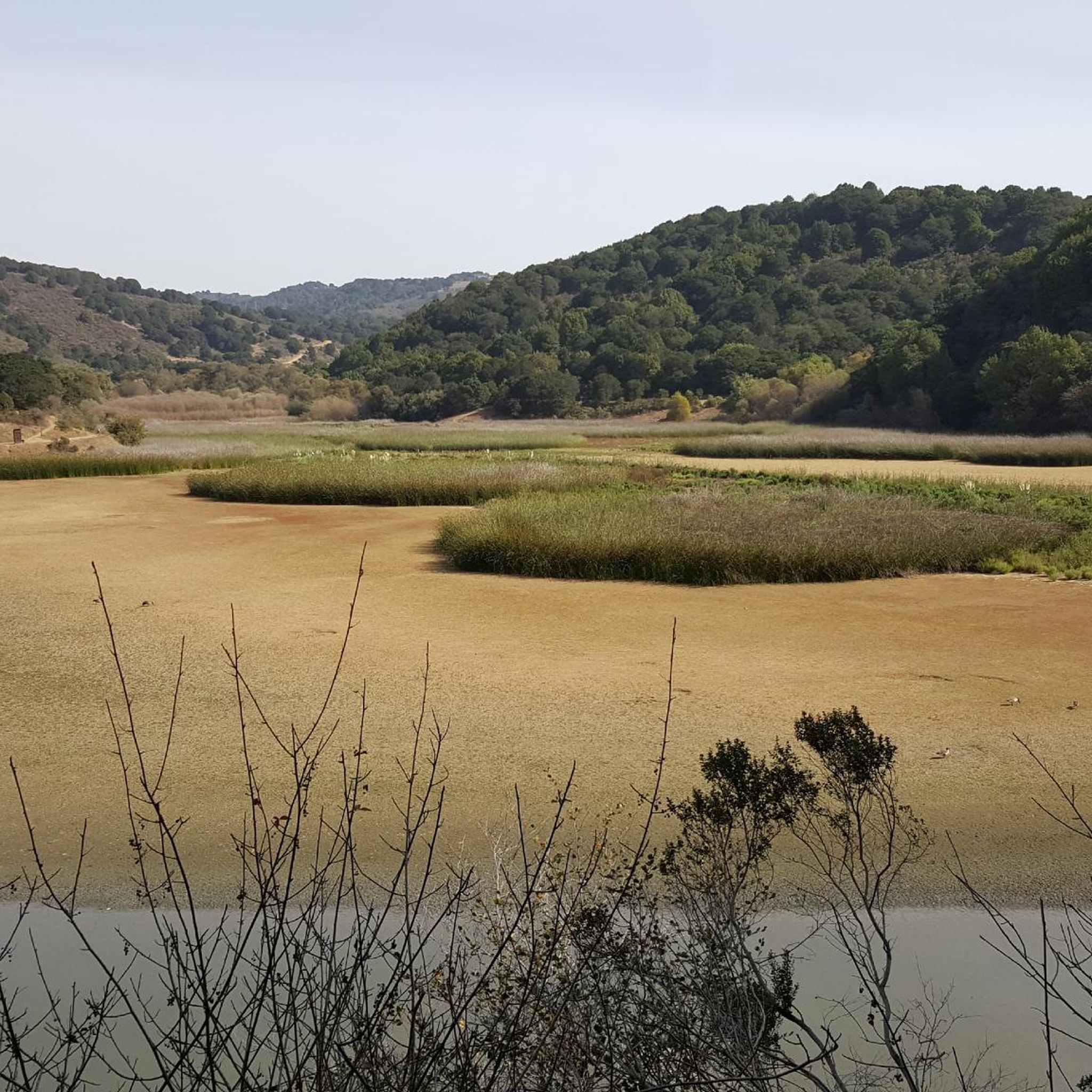
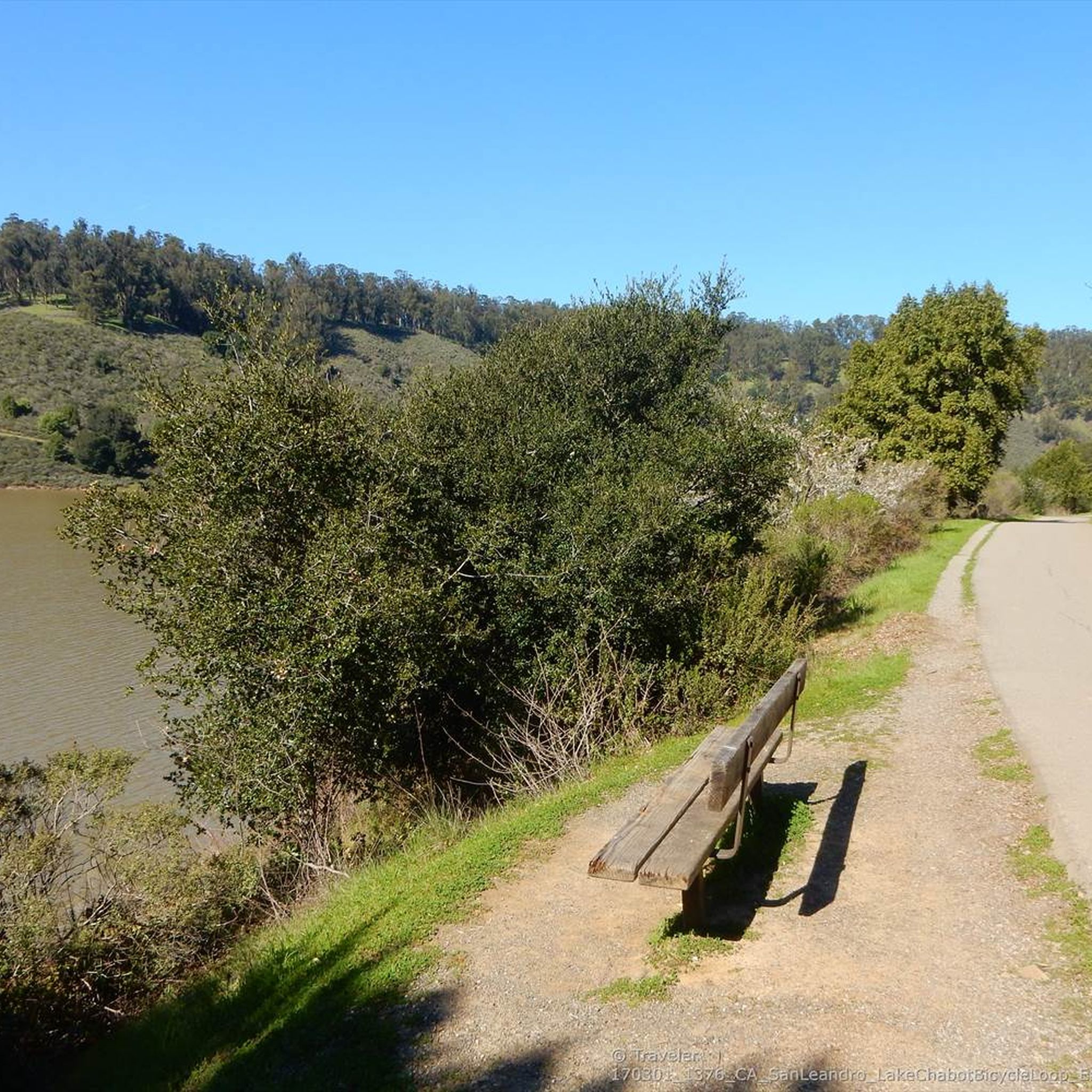
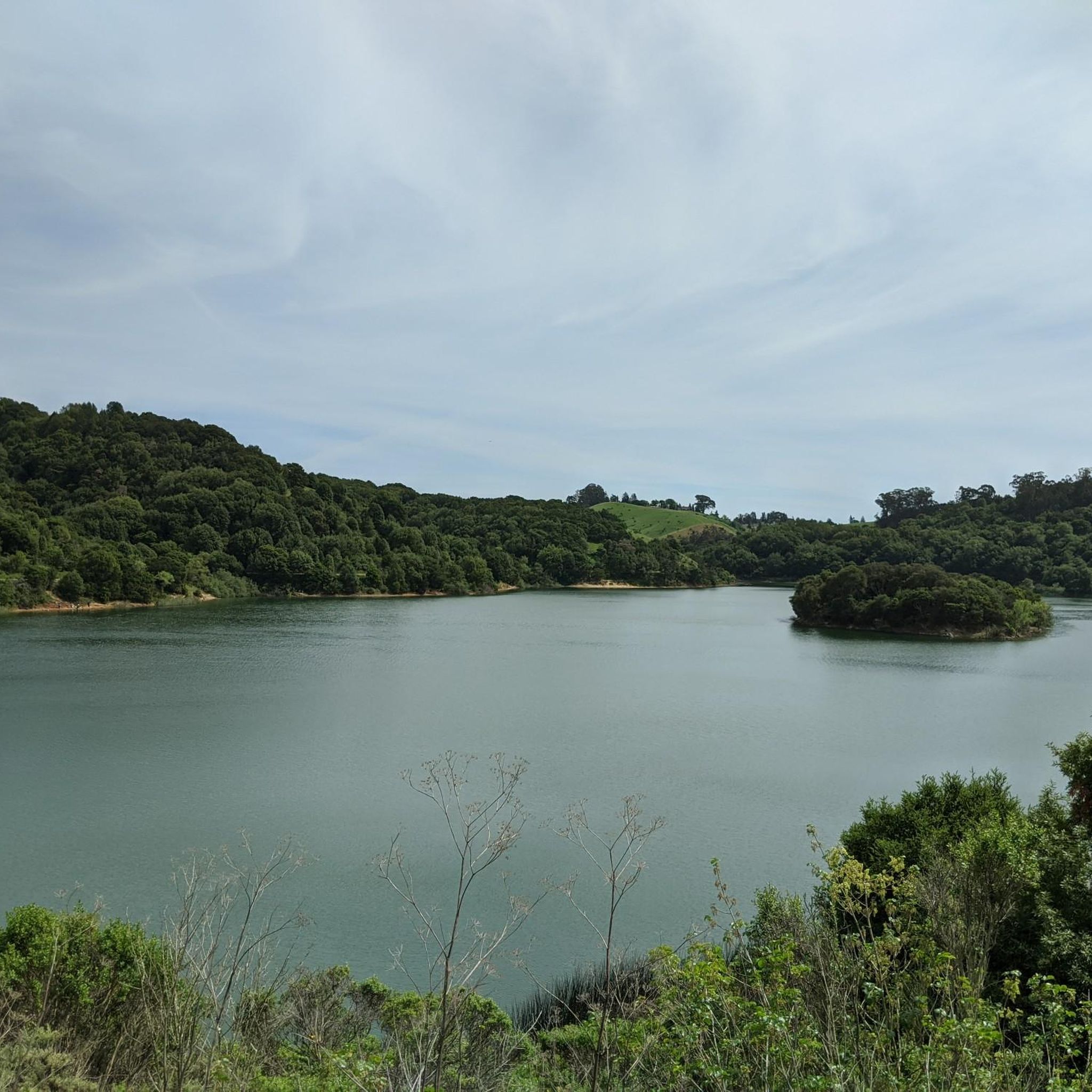
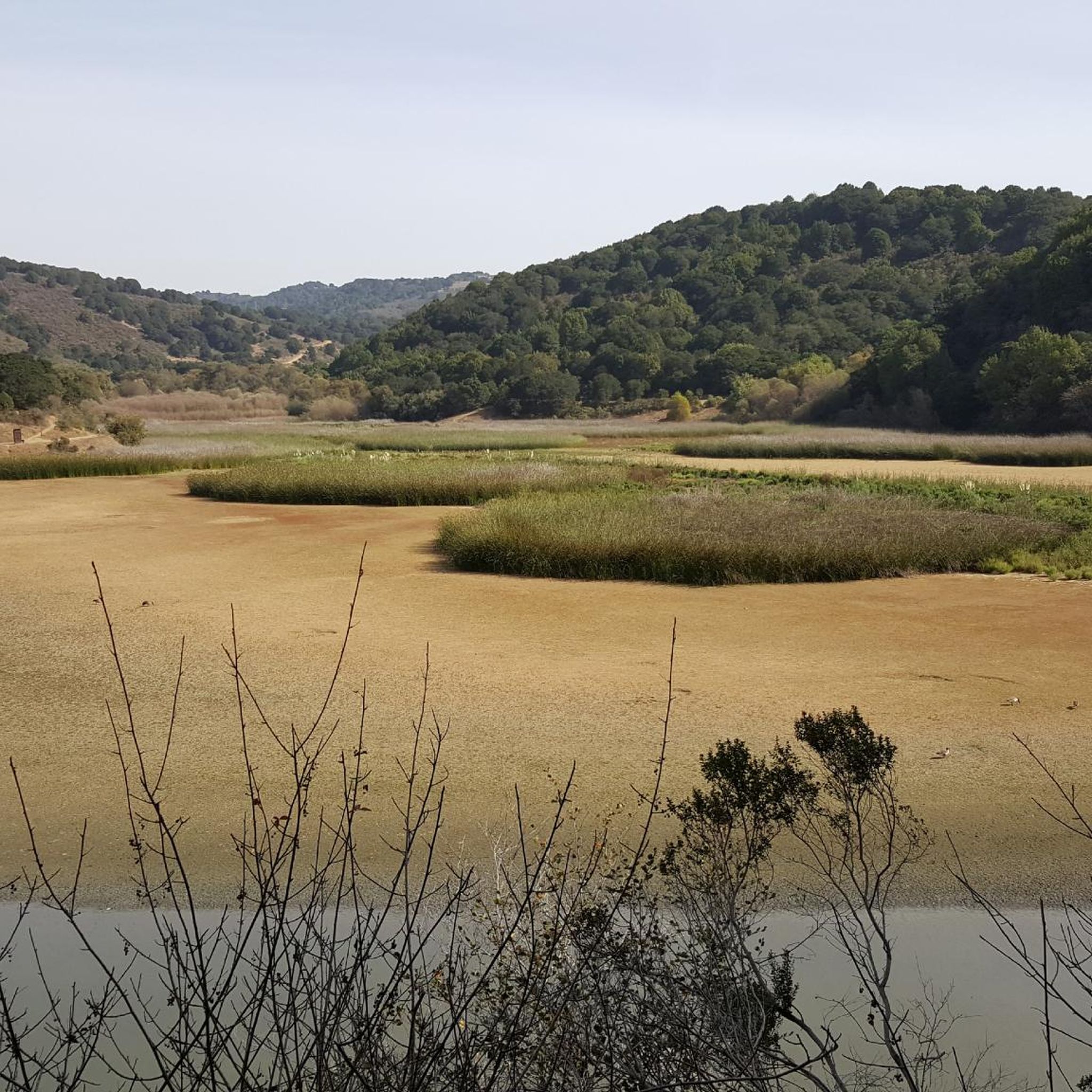
Tips from the Community

Valle Vista is the trailhead for the paved Lafayette-Moraga Regional Trail, a popular rail-trail for cyclists. There’s a restroom here, but note: the EBMUD dirt trails are hiking-only and require a permit. The bike trail has been officially closed between here and Moraga since a 2019 landslide.
0
0

Though very short, this small section of easily visible cycling lane makes the intersection much easier to navigate on your bike.
0
0
This stretch of Foothill Road runs between the city and Pleasanton Ridge, giving you a great feeling of being on the edge of wilderness.
0
0

still closed, for more information and a detour see https://www.reddit.com/r/BAbike/comments/1b0mc5w/redwood_rd_closure_not_recommended_on_a_road_bike/
1
0

There is a paved foot & bike path that runs straight through the park to Arroyo Road, though I am not sure if it actually has an exit onto the road. It continues further into Veterans Park. Of the gravel trails some are closed to bikes for nature preservation reasons. Others allow for a (mostly) easy gravel ride.
0
0

Stay on the fire roads until you get your bearings...once you become familiar with the park you can explore the single/double track at your leisure...Great views of Pleasanton and Livermore in the distance!
0
0


Livermore is California's oldest wine region and lies as the easternmost city in the San Francisco Bay Area. This city boasts a historic downtown with shopping, dining, and entertainment.
0
0
Frequently Asked Questions
How many road cycling routes are available around Ashland?
There are over 50 road cycling routes around Ashland, with 59 routes available on komoot. These routes cater to various skill levels, including 11 easy, 40 moderate, and 8 difficult options.
What kind of terrain and elevation can I expect on road cycling routes near Ashland?
Ashland's road cycling routes are situated in the scenic Rogue Valley, offering a mix of craggy canyons, vast valleys, and lush woodlands. You'll encounter diverse ecosystems, from oak savannahs to fir forests, with significant elevation changes, especially in areas like the Cascade-Siskiyou National Monument. Routes can range from easygoing paths to challenging climbs with considerable elevation gains.
Are there any family-friendly road cycling options in Ashland?
Yes, for a more relaxed and family-friendly experience, the Bear Creek Greenway is an excellent choice. This multi-use paved pathway spans 18 miles, connecting Ashland to nearby towns like Phoenix and Medford, and offers easy access to parks and amenities. It's a great option for a leisurely ride without significant climbs.
What are some challenging road cycling routes for experienced riders?
Experienced riders looking for a challenge will appreciate routes with significant climbs. The Cascade-Siskiyou Scenic Bikeway is a highly rewarding 55-mile route with over 5,000 feet of climbing, showcasing diverse ecosystems and spectacular views. Another traditional road ride that includes climbing is the Ashland Loop with Tolman climb.
What natural features and landmarks can I see along the road cycling routes?
Road cycling routes around Ashland offer stunning views of the Rogue Valley, the Ashland skyline, and the Cascade Mountains. You can explore areas like the Cascade-Siskiyou National Monument with its sweeping valleys and mountain views. Some routes may pass by natural attractions such as Oyster Bay Regional Shoreline or Lake Chabot Marina, offering picturesque scenery.
What is the best time of year for road cycling in Ashland?
The sunny summer months are ideal for road cycling in Ashland, offering pleasant weather for exploring the region's diverse landscapes. While Mount Ashland is known for winter sports, its trails are great for cycling in summer. Always check local weather conditions before heading out.
Are there any loop routes available for road cyclists?
Yes, Ashland offers several loop routes. For example, the Lake Chabot to Redwood Regional Park South loop and the Tri-Valley loop are popular options. The Lake Chabot Marina – Skyline Blvd loop also provides a challenging ride with significant elevation.
What do other road cyclists enjoy most about road cycling in Ashland?
The area is highly rated by the komoot community, with an average score of 4.5 stars from over 10 reviews. Reviewers often praise the picturesque valleys, challenging climbs, and well-maintained paths, alongside the natural beauty of surrounding national monuments. Many appreciate the diverse terrain, from oak savannahs to fir forests, offering spectacular views.
Where can I find parking for road cycling routes in Ashland?
While specific parking details vary by route, many popular cycling areas and trailheads in Ashland, such as those along the Bear Creek Greenway, offer accessible parking. For routes starting within Ashland, you can often find parking in or near the city center, which provides a convenient starting point for many rides.
Are there any amenities like cafes or restrooms along the routes?
The Bear Creek Greenway, a popular multi-use path, offers access to parks, restrooms, and local businesses in the towns it connects, such as Phoenix and Medford. For other routes, especially those in more remote areas like the Cascade-Siskiyou National Monument, amenities may be limited, so it's advisable to plan accordingly and carry sufficient supplies.
Can I combine road cycling with other activities in Ashland?
Absolutely! Ashland is a hub for outdoor activities. After a ride, you can explore Lithia Park, known for its lush gardens and trails, or visit the nearby city of Ashland for dining and cultural experiences. Grizzly Peak and Mount Ashland also offer hiking opportunities.
Most popular routes around Ashland
Most popular attractions around Ashland

Get inspired with the komoot mobile app


Explore more
Browse the best Road cycling routes in other regions.
