The best road cycling routes around Acton
98
riders
2
rides
Road cycling routes around Acton are characterized by significant elevation changes and varied terrain, typical of Southern California's mountainous and canyon landscapes. The region features long climbs and descents through areas with natural features such as canyons and river valleys. Road cyclists can expect challenging routes that traverse diverse elevations.
Best road cycling routes around Acton
- The most popular road cycling route is Soledad Canyon Loop, a 53.6 miles (86.3 km) trail that takes 4 hours 18 minutes to…
Last updated: October 16, 2026
66
riders
86.3km
04:19
1,110m
1,110m
Hard road ride. Very good fitness required. Mostly well-paved surfaces and easy to ride.
17
riders
130km
06:49
2,380m
2,380m
Hard road ride. Very good fitness required. Some segments of this route may be unpaved and difficult to ride.

5
riders
70.0km
03:45
1,300m
1,300m
Hard road ride. Very good fitness required. Mostly well-paved surfaces and easy to ride.
3
riders
26.0km
01:15
300m
300m
Moderate road ride. Good fitness required. Mostly well-paved surfaces and easy to ride.
1
riders
75.8km
03:47
1,110m
1,110m
Hard road ride. Very good fitness required. Mostly well-paved surfaces and easy to ride.
Our route recommendations are based on thousands of hikes, rides, and runs completed by other people on komoot.
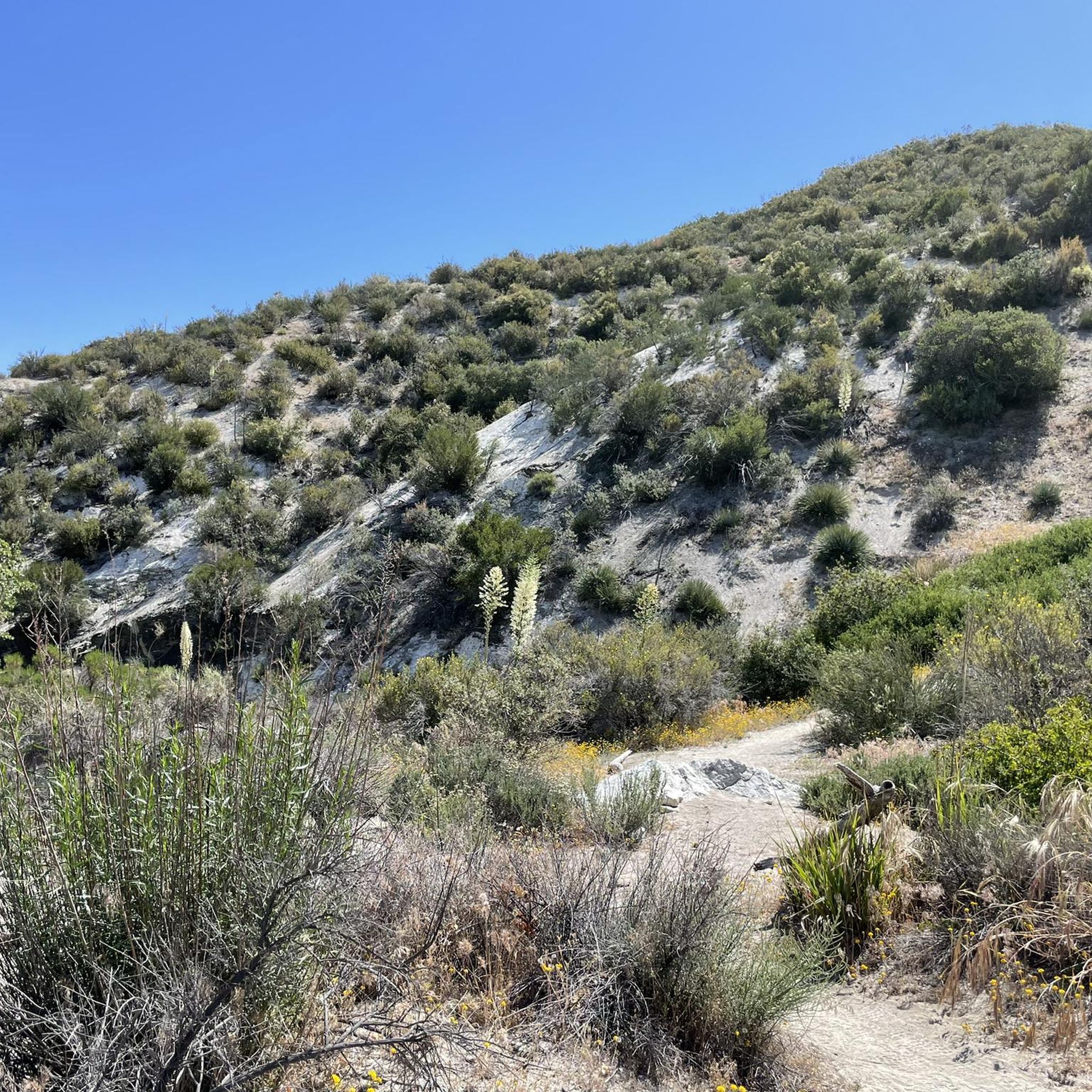
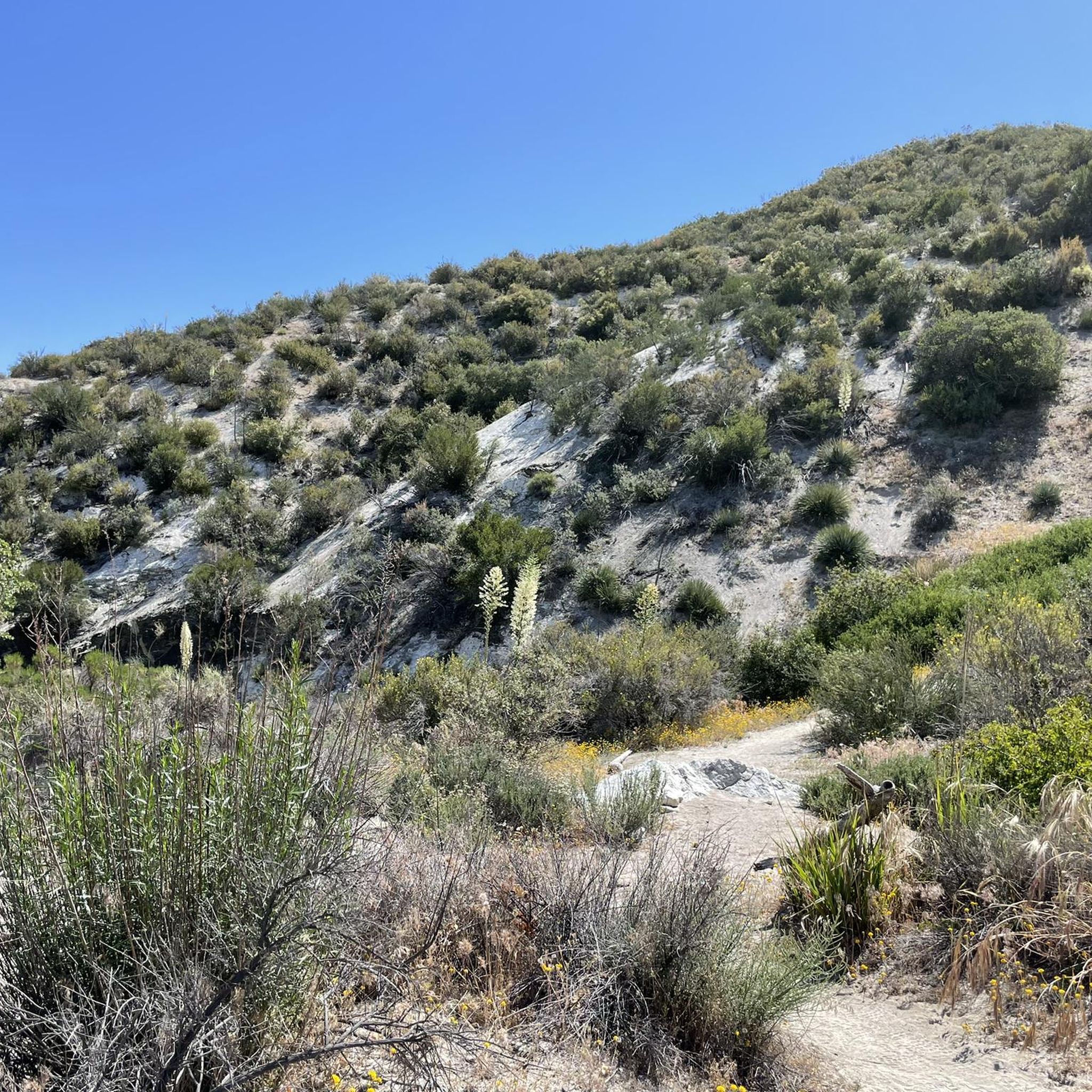
Tips from the Community

Visit the Big Tujunga Dam Overlook for awesome views of the Big Tujunga River and the concrete arch dam. Built in 1931, the dam features a reservoir about 89 square acres in size. The dam is key for flood protection and water conservation.
1
0
Mill Creek Summit, sitting at 4,910 feet, is the highest point along the Angeles Forest Highway in northern Los Angeles County. In the scenic San Gabriel Mountains, it links Pasadena to Lancaster via the Angeles Crest Highway. This spot is a popular rest area for bikers and Pacific Crest Trail hikers, offering shaded picnic benches, a water spigot near the fire station (treatment recommended), and outlets for charging devices. A nearby parking lot includes a picnic table and restrooms, making it a convenient stop.
0
0

This is a great, quiet section of Sierra Highway. There is a fairly wide shoulder as well, so there is ample room for cars to pass.
1
0

Excellent paved dedicated bike trail along the north bank of the Santa Clara River, It currently stretches from Discovery Park in the west of Santa Clarita to Lost Canyon road a mile east from here, where it connects to rural or residential roads.
0
0
Pleasant long trail along the northern river bank, shared with a parallel paved bike trail.
1
0

San Francisquito Canyon South via Pacific Crest Trail is a 6.5 mile return trail located near Santa Clarita, California that offers the chance to see wildlife and is rated as moderate. The trail is primarily used for hiking, walking, running, and nature trips.
0
2

As of 2022 there are picnic benches at this trailhead. One is located close to the road, the other one is 0.1 southbound in a shaded spot.
4
0
Perhaps the quickest route across the San Gabriel foothills. Extra careful about a mile west of the town long distance PCT hikers cross the road and often congregate.
1
0
Frequently Asked Questions
What kind of terrain can I expect on road cycling routes around Acton?
Road cycling routes around Acton, California, are known for significant elevation changes and varied terrain, typical of Southern California's mountainous and canyon landscapes. You'll encounter challenging long climbs and descents through areas featuring natural canyons and river valleys.
Are there routes suitable for less experienced road cyclists in Acton?
While many routes around Acton are challenging, such as the difficult Soledad Canyon Loop, there is also a moderate option like the Godde Pass loop from Golf Course Parking. This route offers a shorter distance and less intense elevation gain, making it a good choice for those looking for a less demanding ride.
What are some notable natural features or landmarks I might see while cycling in Acton?
The region's routes often pass through scenic areas. For example, the Big Tujunga Dam Overlook – Mill Creek Summit loop from Sun Valley includes significant climbs and descents, passing by the Big Tujunga Dam Overlook. Another route, the Iron Horse Bridge – Santa Clara River loop from Newhall, leads through river valleys and past the historic Iron Horse Bridge. You can also explore nearby attractions like Vasquez Rocks Natural Area Park, known for its striking geological formations.
How many road cycling routes are available in the Acton area?
There are several road cycling routes around Acton, with komoot featuring at least 5 distinct routes. These routes showcase the best of the region's landscape, offering diverse options for experienced road cyclists.
What do other road cyclists enjoy most about the routes in Acton?
Over 120 road cyclists have used komoot to explore Acton's varied terrain. They often praise the challenging climbs, the scenic canyon roads, and the river valley sections that define the area's unique cycling experience.
Are there any circular road cycling routes in Acton?
Yes, many of the routes in Acton are designed as loops, allowing you to start and finish in the same location. Examples include the Soledad Canyon Loop and the Spunky Canyon Road – San Francisquito Canyon Road loop from Golf Course Parking, providing convenient circular journeys.
What are some longer distance road cycling options around Acton?
For longer rides, you can consider routes like the Big Tujunga Dam Overlook – Mill Creek Summit loop from Sun Valley, which is approximately 80 miles (128.8 km) long, or the Iron Horse Bridge – Santa Clara River loop from Newhall, spanning about 62 miles (100.1 km).
Are there any places to stop for refreshments or amenities along the road cycling routes?
While specific cafes or pubs are not detailed for every route, the area around Acton, CA, and nearby communities like Agua Dulce (Agua Dulce & Hiker Heaven) typically offer amenities where cyclists can find refreshments and supplies. It's advisable to plan your stops in advance, especially on longer routes through more remote canyon areas.
What is the best time of year for road cycling in Acton?
Given the Southern California climate, road cycling in Acton is generally possible year-round. However, spring and fall often offer the most comfortable temperatures for tackling the significant climbs. Summers can be very hot, and winters can bring cooler temperatures, especially at higher elevations, so checking the weather forecast is always recommended.
Are there any family-friendly road cycling routes in Acton?
The road cycling routes directly around Acton are generally characterized by significant elevation changes and are often rated as difficult, making them more suitable for experienced cyclists. For family-friendly options, you might look for multi-use paths or less strenuous routes in nearby, flatter areas, though these are not specifically detailed within the challenging road cycling guide for Acton.
Where can I find parking for road cycling routes in Acton?
Many routes, such as the Spunky Canyon Road – San Francisquito Canyon Road loop from Golf Course Parking and the Godde Pass loop from Golf Course Parking, indicate starting points with available parking, often near golf courses or other public access areas. Always check the specific route details for recommended parking locations.
Most popular routes around Acton
Most popular attractions around Acton

Get inspired with the komoot mobile app


Explore more
Browse the best Road cycling routes in other regions.
