The best road cycling routes around Milpitas
4.6
(155)
5,551
riders
17
rides
Road cycling routes around Milpitas offer a diverse landscape, ranging from rolling hills to baylands. The region's eastern side features the Diablo Foothills, providing routes with significant elevation gains. To the west, the South Bay shoreline presents quiet wetlands and flat levee paths. Many routes offer views of the valley floor and the San Francisco Bay.
Best road cycling routes around Milpitas
- The most popular road cycling route is Sierra Road and Felter Road loop from Milpitas, an 18.7 miles (30.0 km) trail that takes 1 hour 43 minutes to complete. This route features significant elevation gains through the Diablo Foothills.
- Another top favourite among local road cyclists is Inspiration Point – Piedmont Ponds loop from Great Mall/Main, a moderate 30.1 miles (48.5 km) path. This route offers scenic views of the valley and surrounding areas.
- Local road cyclists also love the Alum Rock Road – Piedmont Ponds loop from Great Mall/Main, a 33.2 miles (53.5 km) trail leading through areas near Alum Rock Park, often completed in about 3 hours 23 minutes.
- Road cycling around Milpitas is defined by rolling hills, baylands, and scenic viewpoints. The network offers options for different ability levels, from flat paths to challenging climbs.
- The routes in Milpitas are highly rated by the komoot community with an average score of 4.8 stars from over 60 reviews. More than 2000 road cyclists have used komoot to explore Milpitas's varied terrain.
Last updated: July 8, 2026
5.0
(2)
108
riders
30.0km
01:43
670m
670m
Moderate road ride. Good fitness required. Mostly well-paved surfaces and easy to ride.
4.5
(4)
91
riders
Easy road ride. Great for any fitness level. Mostly well-paved surfaces and easy to ride.

Sign up for free
21
riders
53.5km
03:23
610m
610m
Moderate road ride. Good fitness required. Some segments of this route may be unpaved and difficult to ride.
23
riders
124km
06:12
1,760m
1,760m
Hard road ride. Very good fitness required. Mostly well-paved surfaces and easy to ride.
11
riders
17.7km
01:06
500m
500m
Moderate road ride. Good fitness required. Mostly well-paved surfaces and easy to ride.
Get access to more routes and recommendations from other explorers.
Sign up for free
Already have an account?
Our route recommendations are based on thousands of hikes, rides, and runs completed by other people on komoot.
Start today with a free account
Your next adventure awaits.
Login or Signup

Other adventures around Milpitas

Tips from the Community

This section of Foothill Road follows closely along Arroyo de la Laguna. Seeing the river and unique farm animals on the side of the road is a treat!
0
0

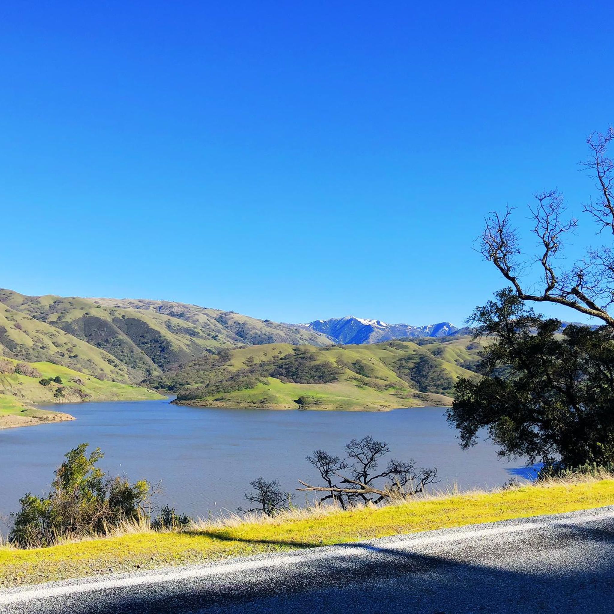
Calfateras road begins by a robust climb, and then it changes to a series of switchbacks with spectacular views to the reservoir and surrounding park. The switchbacks alternate between downhill and moderate climbs, before a long downhill and flat terrain.
0
0

Riding south on Felter road from Calaveras after doing Polamares and and Calaveras Roads was a real challenge, especially since it was my first time! Get something to fuel up on at the Sunol Little Store!
0
0
This is a nice stretch of road that follows along the path of Alameda Creek as it cuts through the foothills.
0
0
When in season you will see a lot of beautiful oleander lining the road along this stretch.
0
0

The trail dips down toward the water to pass under Coleman Ave, revealing a mural of elegant waterfowl. On the south side, you will find the Yoake No Noraneko mural, a colorful bold composition of two powerful cats stalking through bamboo.
0
0
Along the Guadalupe River you will find a conglomeration of little scenic parks. There is Columbus Park, Taylor Street Rock Garden, a rose garden, a community garden, playgrounds, running trails by the river, and more. There is an interconnected network of bike paths and roads to explore here.
0
0

Alum Rock Road is a paved, east-west road running through the heart of Alum Rock Park. Stretching about a mile, it features a gentle elevation change of about 100 feet, making it a relatively easy route. The road provides access to various trailheads, picnic areas, and park attractions, including the historic Mineral Springs Grotto.
0
0
Frequently Asked Questions
How many road cycling routes are available around Milpitas?
There are 17 road cycling routes around Milpitas documented on komoot, offering a variety of experiences for different skill levels.
What kind of terrain can I expect on road cycling routes in Milpitas?
Milpitas offers a diverse landscape for road cycling. You'll find challenging climbs and significant elevation gains in the eastern Diablo Foothills, while the western South Bay shoreline provides quieter wetlands and flat levee paths. Many routes also feature scenic views of the valley floor and the San Francisco Bay.
Are there any challenging road cycling routes for experienced riders?
Yes, Milpitas has routes for experienced cyclists. For a significant challenge, consider the Piedmont Ponds – Sunol Depot loop from Milpitas, which is over 76 miles long with substantial elevation gain. Another difficult option is the Sunol Depot – Niles Canyon Railway loop from Great Mall/Main.
What are some easier road cycling options in Milpitas?
For a more relaxed ride, the flat levee paths along the South Bay shoreline are ideal. While specific easy routes are not detailed in the provided data, the region offers 7 easy-rated routes. The Coyote Creek Trail and 237 Bikeway are known for being paved and suitable for casual rides.
What scenic viewpoints or landmarks can I see along the road cycling routes?
Many routes offer breathtaking views of the valley and the San Francisco Bay. You might pass by natural features like the Calaveras Reservoir Scenic Segment or the Piedmont Ponds. The Alum Rock Park area is also a popular spot for scenic rides.
Are there any family-friendly road cycling routes in Milpitas?
Yes, the flat levee paths along the South Bay shoreline, such as segments of the Coyote Creek Trail and the 237 Bikeway, are excellent for family rides. These paved corridors connect neighborhoods and open spaces, providing a safe and enjoyable experience for all ages.
What is the best time of year for road cycling in Milpitas?
Milpitas generally offers good cycling conditions year-round. The baylands are pleasant for riding in cooler weather, while the hills can be more challenging during hotter summer months. Always check local weather forecasts before heading out.
Where can I find parking near road cycling routes in Milpitas?
Parking availability varies by route. For routes near Alum Rock Park, there is parking within the park. For other routes, consider starting points near commercial areas or public parks. The city of Milpitas is also working on improving biking infrastructure and access points.
What do other road cyclists say about the routes in Milpitas?
The road cycling routes around Milpitas are highly rated by the komoot community, with an average score of 4.8 stars from over 60 reviews. Cyclists often praise the diverse terrain, from challenging climbs to scenic bayfront paths, and the expansive views of the valley and the San Francisco Bay.
Are there any long-distance road cycling routes available?
Yes, for longer rides, the Piedmont Ponds – Sunol Depot loop from Milpitas covers over 76 miles. Another substantial option is the Inspiration Point – Piedmont Ponds loop from Great Mall/Main, which is about 30 miles long and offers scenic views.
Can I find loop routes for road cycling in Milpitas?
Many of the road cycling routes in Milpitas are designed as loops, allowing you to start and end at the same point. Examples include the Sierra Road and Felter Road loop from Milpitas and the Alum Rock Road – Piedmont Ponds loop from Great Mall/Main.
Are there any specific attractions or points of interest near the cycling routes?
Beyond the natural beauty, you can find attractions like Alviso Marina County Park, which is great for birdwatching. The Guadalupe River Trail also offers a pleasant cycling option and access to various points of interest.
Most popular attractions around Milpitas

Get inspired with the komoot mobile app


Explore more
Browse the best Road cycling routes in other regions.
