The best walks and hikes around Bansmeer
4.5
(1905)
8,192
hikers
390
hikes
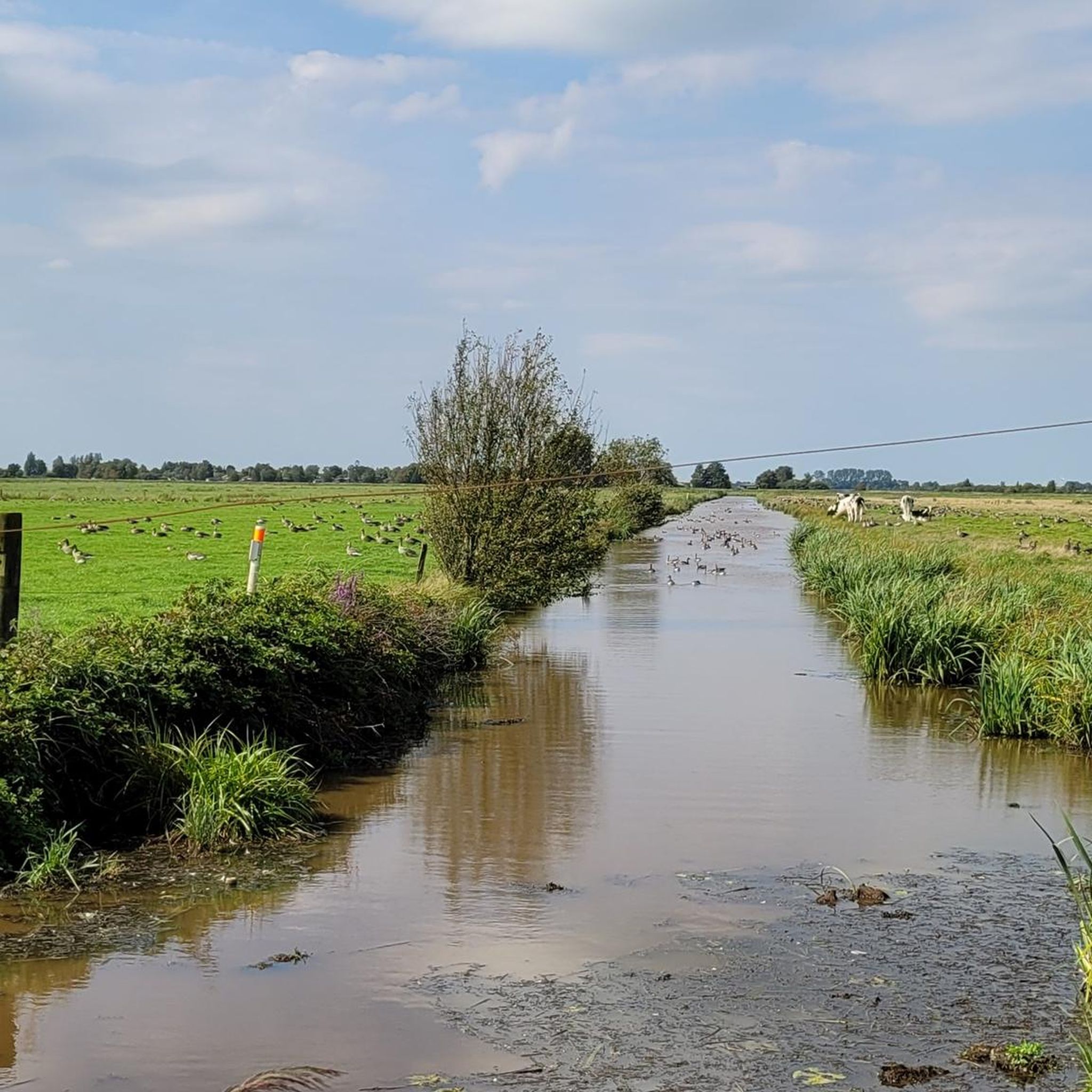
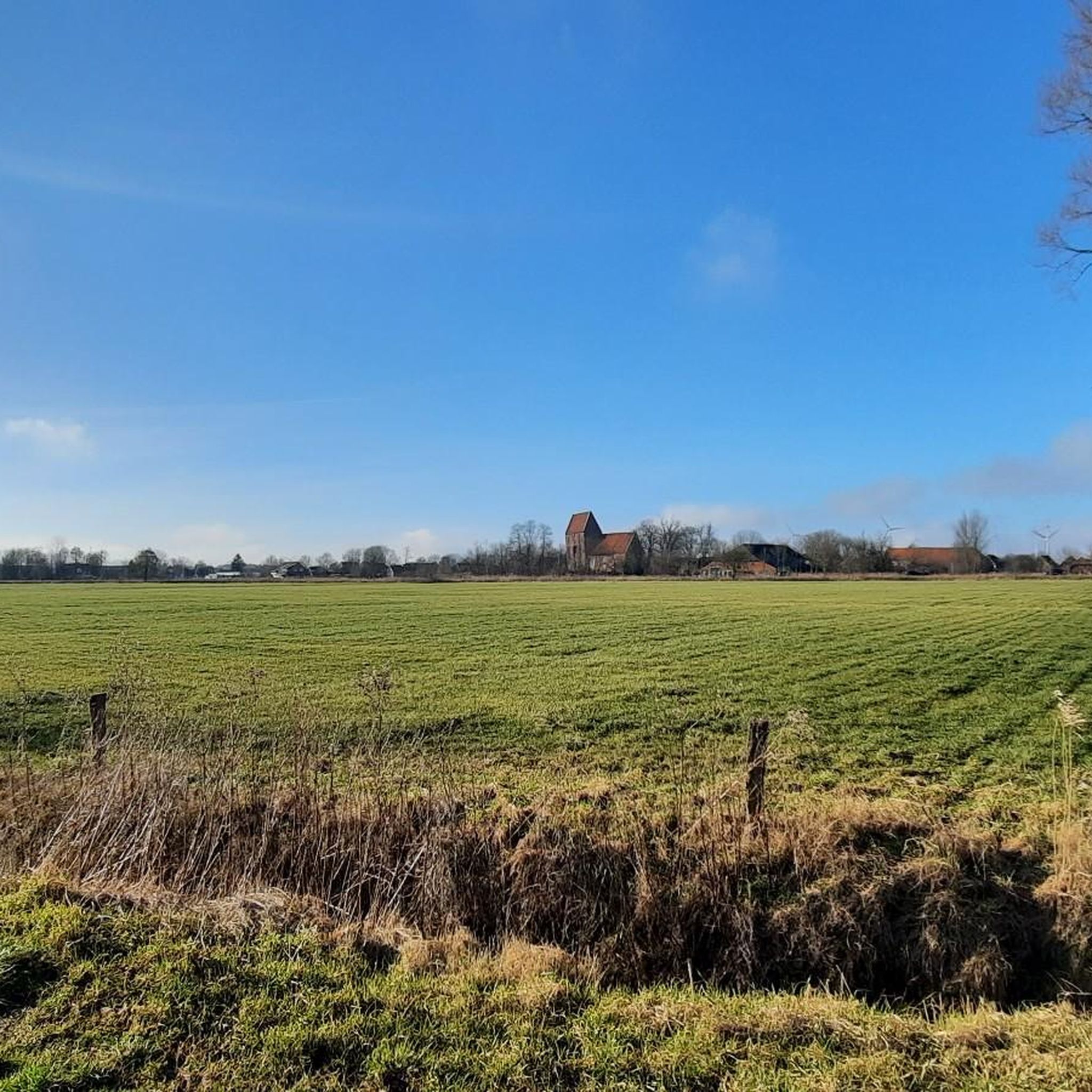
Hiking around Bansmeer offers access to a unique inland lake ecosystem in East Frisia, Germany. The region is characterized by its shallow lake, extensive reed beds, and surrounding "Moorrmarsch" terrain. This landscape provides a significant habitat for diverse birdlife and features generally flat hiking trails. The area is designated as a nature reserve, ensuring a tranquil environment for outdoor activities.
Best hiking trails around Bansmeer
- The most popular hiking route is Riepster Meeden Grain Fields loop from Kapellentief, a…
Last updated: August 31, 2026
3.0
(6)
27
hikers
6.49km
01:38
10m
10m
Easy hike. Great for any fitness level. Easily-accessible paths. Suitable for all skill levels.
3.5
(2)
6
hikers
3.54km
00:54
0m
0m
Easy hike. Great for any fitness level. Easily-accessible paths. Suitable for all skill levels.

Sign up for free
4.0
(2)
10
hikers
4.91km
01:14
10m
10m
Easy hike. Great for any fitness level. Easily-accessible paths. Suitable for all skill levels.
6
hikers
Easy hike. Great for any fitness level. Easily-accessible paths. Suitable for all skill levels.
3.0
(6)
27
hikers
6.07km
01:32
10m
10m
Easy hike. Great for any fitness level. Easily-accessible paths. Suitable for all skill levels.
Get access to more routes and recommendations from other explorers.
Sign up for free
Already have an account?
Our route recommendations are based on thousands of hikes, rides, and runs completed by other people on komoot.
Start today with a free account
Your next adventure awaits.
Login or Signup
Tips from the Community

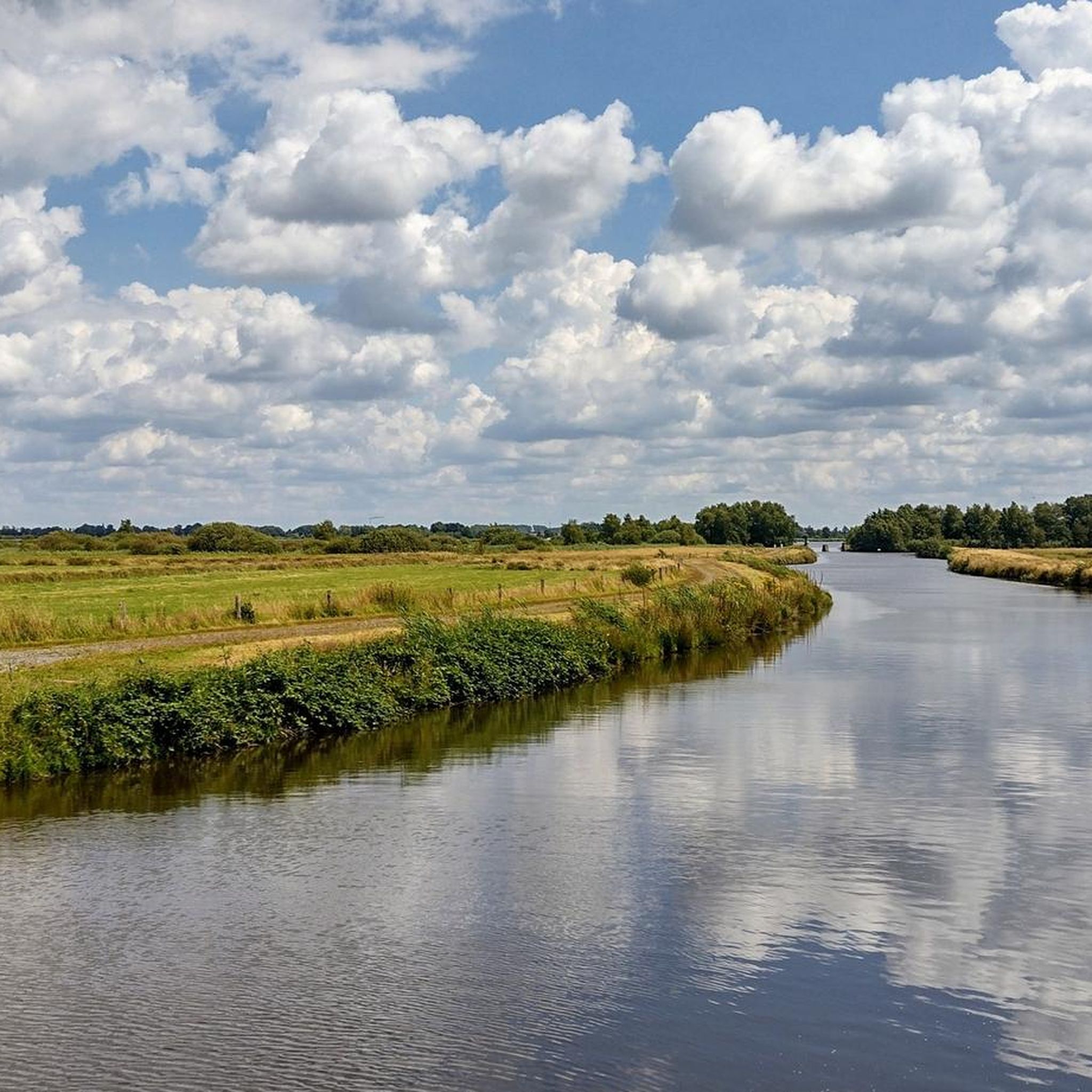
Well, the Ems-Jade Canal is about 70 km long. Here you are near the Uphuser Bridge. A solid, water-bound path.
0
0

Wonderful opportunity to take a beautiful tour along the water.
0
0

Unfortunately, you can't get to the Uphuser Meer because it's all private. The cycle path also goes a little way outside. But the brief glimpse of the sea shows what an idyllic place lies behind it.
3
0

A beautiful picture that reflects the landscape of East Frisia.
0
0
This section should definitely be included when planning a tour
0
0

We took a break here after about 10 km and really enjoyed it. Very well-kept grounds and clean benches. Close to the water and although you can see the main road, you can't hear it - perfect!
0
0

Very beautiful bridge over the Ems-Jade Canal near Uphuusen
0
0

If you're lucky or unlucky, the bridge is straight up and you can watch the boats go by :-)
1
0
Frequently Asked Questions
How many hiking trails are available around Bansmeer?
There are over 380 hiking routes around Bansmeer, with the vast majority, more than 280, being classified as easy. This makes the area highly accessible for various fitness levels.
What is the typical terrain like for hiking in Bansmeer?
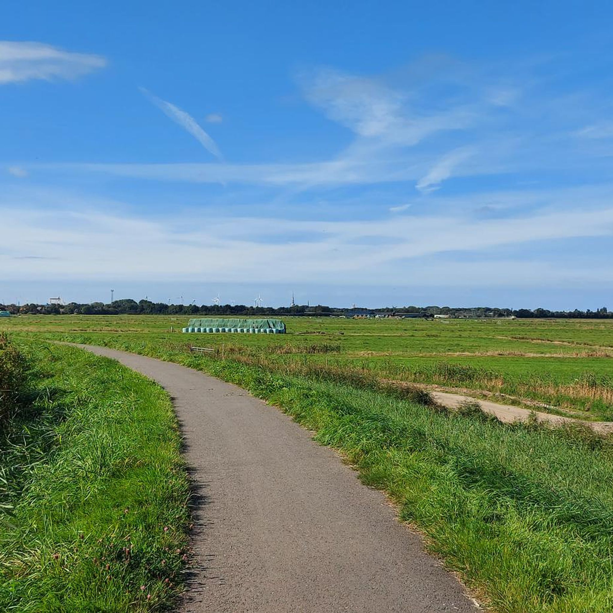
The terrain around Bansmeer is generally flat, characterized by its unique inland lake ecosystem, broad reed beds, and surrounding agricultural fields. You'll experience the "Moorrmarsch" landscape at the edge of the East Frisian geest, offering gentle paths with minimal elevation changes.
Are there family-friendly hiking options in Bansmeer?
Yes, Bansmeer is excellent for family-friendly hikes. With over 280 easy routes, many paths are suitable for all ages and abilities. The flat terrain and natural environment provide a pleasant setting for walks with children. Consider a shorter loop like the Riepster Meeden Grain Fields loop from Kapellentief, which is 2.3 miles (3.7 km) and easy.
Can I bring my dog on the hiking trails around Bansmeer?
While Bansmeer is a nature reserve, many trails are suitable for dogs. It's generally recommended to keep dogs on a leash to protect the diverse birdlife and other wildlife, especially in areas with reed beds. Always check local signage for specific restrictions.
Are there circular hiking routes available?
Yes, many of the hiking routes around Bansmeer are circular, allowing you to start and end at the same point. Popular options include the Riepster Meeden Grain Fields loop from Kapellentief and the Uphuser Meer loop from Kapellentief, both offering pleasant circuits through the landscape.
What kind of wildlife can I expect to see while hiking?
Bansmeer is a vital habitat for diverse birdlife, making it an excellent spot for birdwatching. You might observe marsh and water birds, including the Western Marsh Harrier and Eurasian Reed Warbler. It's also a crucial stopover for Nordic migratory birds like ducks, divers, and sawbills, especially during migration seasons.
When is the best time of year to go hiking in Bansmeer?
The best time to hike in Bansmeer depends on your interests. Spring and autumn are ideal for birdwatching due to migratory patterns. Summer offers pleasant weather for general hiking, while winter can provide a serene, quiet experience, though some paths might be wet. The flat terrain makes it accessible year-round, weather permitting.
Where can I park when visiting Bansmeer for a hike?
Specific parking areas are usually available near popular trailheads or access points around Bansmeer. For routes starting from Kapellentief, you can typically find designated parking. It's advisable to check the starting point of your chosen komoot tour for detailed parking information.
Is Bansmeer accessible by public transport?
Access to Bansmeer by public transport can be limited, as is common in more rural nature reserve areas. While some regional bus services might operate nearby, direct access to trailheads often requires a car. Planning your route in advance and checking local transport schedules is recommended.
Are there any places to eat or stay near the hiking trails?
While Bansmeer itself is a nature reserve focused on conservation, the surrounding villages and the nearby city of Emden offer various amenities. You can find cafes, pubs, and accommodation options within a short drive, allowing you to combine your hike with local hospitality.
What makes Bansmeer a unique place to hike?
Bansmeer's uniqueness lies in its designation as an internationally important wetland and nature reserve. It offers a tranquil, undisturbed environment with a shallow inland lake, extensive reed beds, and rich biodiversity, particularly its birdlife. Hiking here provides a close connection to nature in a protected East Frisian landscape.
What do other hikers enjoy the most about hiking in Bansmeer?
The area is highly rated by the komoot community, with an average score of 4.4 stars from over 1600 reviews. Reviewers often praise the peaceful atmosphere, the flat and accessible paths, and the opportunities for birdwatching and experiencing the unique East Frisian landscape.
Most popular routes around Bansmeer

Get inspired with the komoot mobile app


Explore more
Browse the best Hikes in other regions.
